
10 Unmissable Walks on the Isle of Skye
Ten walks that capture the variety of Skye’s terrain, from sea stacks and cliff paths to forest trails and historic ruins—each offering a different way to see the island on foot.

Written by Jack Cairney
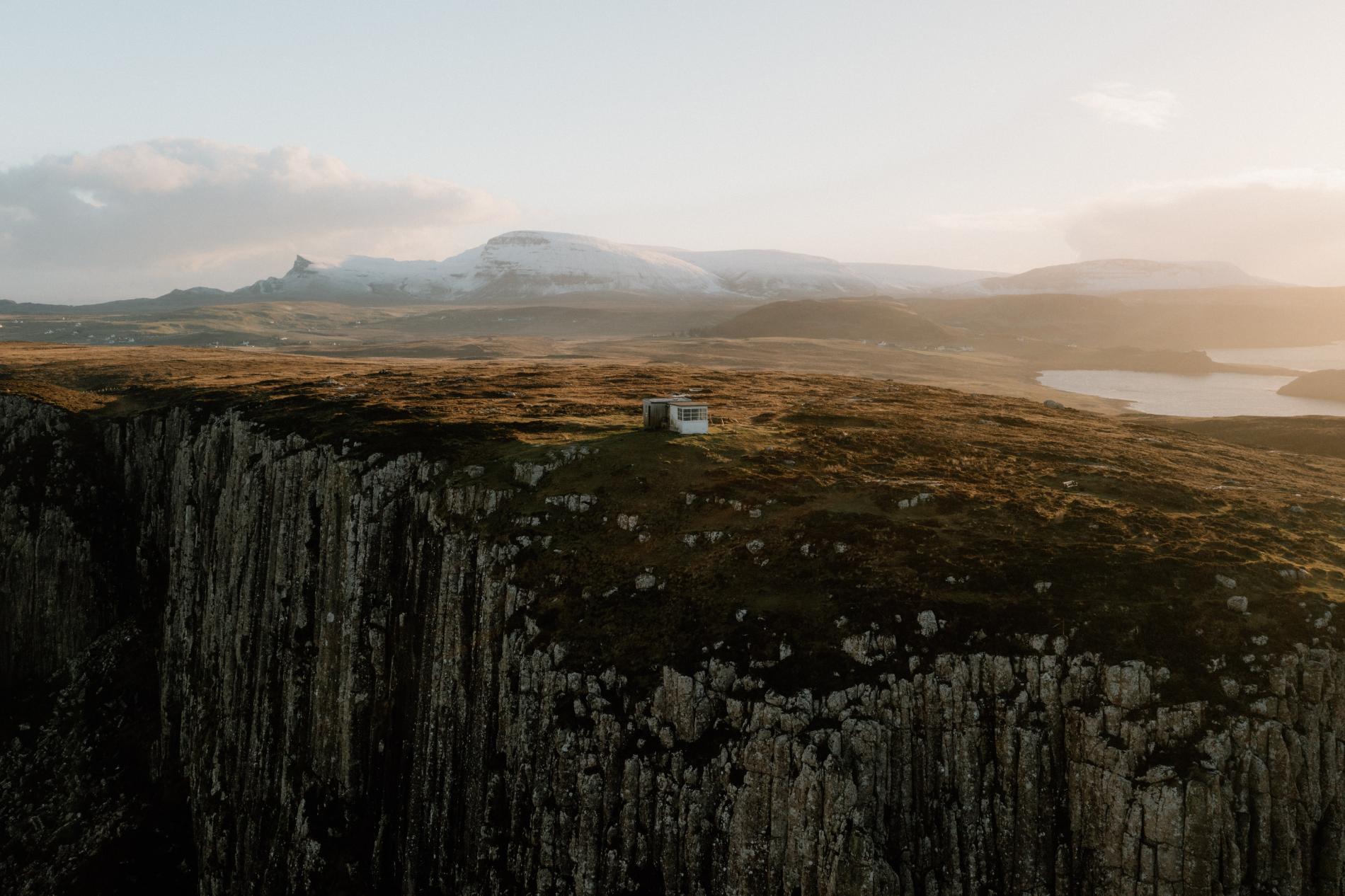
Skye rewards those who walk. While its dramatic roads and single-track drives offer cinematic views, it’s often on foot that the island reveals its true scale, stories, and solitude. This collection of ten walks spans the island’s diverse terrain—from sweeping coastlines and tidal inlets to steep ridgelines and wooded glens—with routes suited to both casual wanderers and more seasoned hikers.
Some are short and sharp, like the well-trodden route to Neist Point Lighthouse or the coastal cliff path near Elgol, where you’re more likely to meet a seal than another person. Others, like the ascent of Blà Bheinn or the quiet pilgrimage to Hallaig on Raasay, take longer and demand more, but reward with views and atmosphere few places in Scotland can match. A handful of these walks are tied to history—Calum’s Road, Bonnie Prince Charlie’s cave, and memorials to the clans who once called these headlands home. Others simply offer space to move, watch, and think, with seabirds wheeling overhead and cloud shadows passing over the hills.
Skye’s walking trails can be unpredictable. Some routes are clear and well-maintained; others are boggy, narrow, and exposed. Weather moves quickly and can change in the time it takes to reach the first summit. But for those prepared with a map, decent boots, and a bit of time, the island’s footpaths offer more than exercise—they give perspective. They guide you beyond the car parks and viewing platforms, into places where the island’s wildness feels intact.
Each walk here starts with a clear beginning, often from a car park or village edge, and most offer loop or out-and-back routes. Follow them carefully, leave no trace, and walk with attention—these paths have stories underfoot.
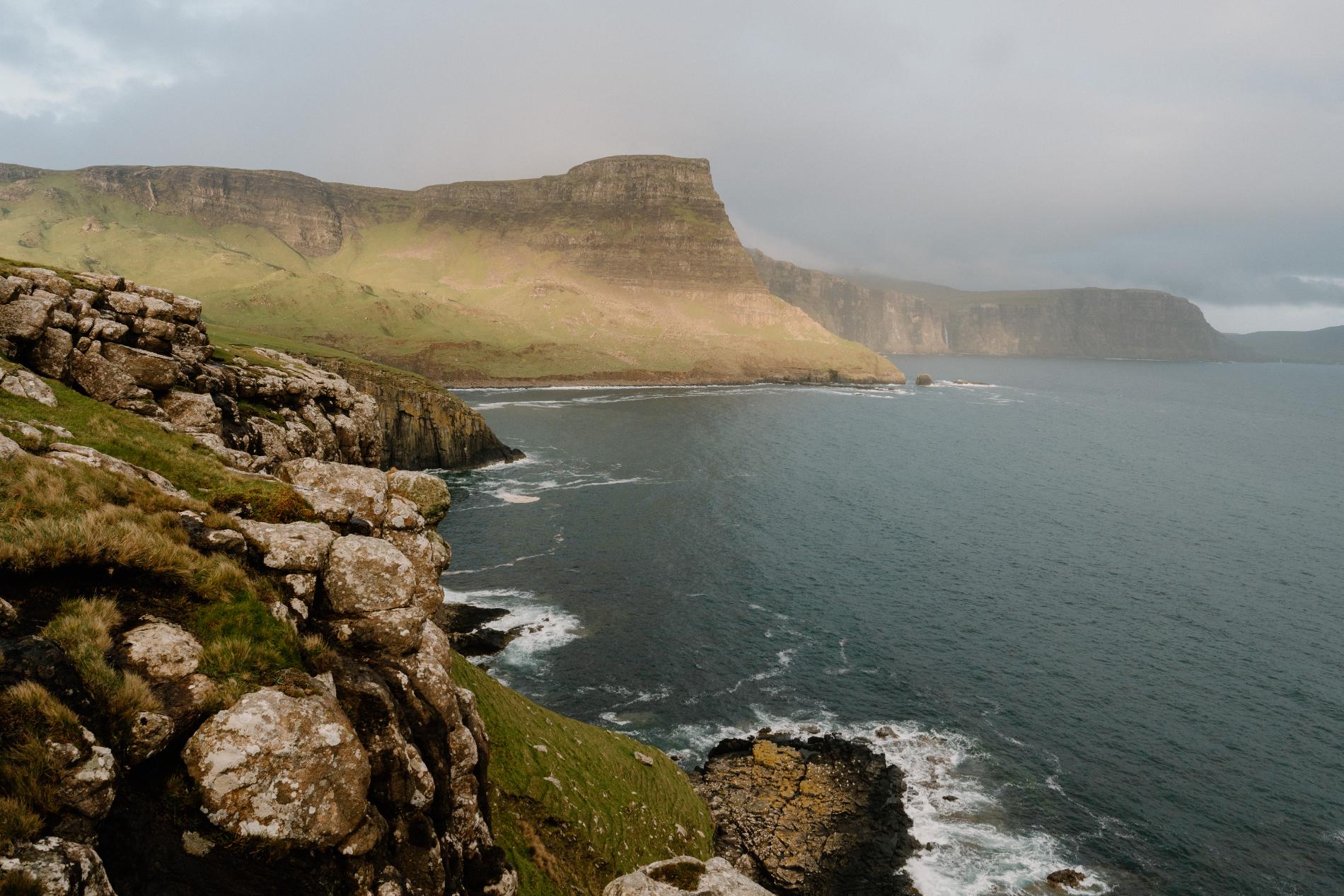
Waterstein Cliffs
1. Macleod’s Maidens Walk (10 miles)
From a small car park near Orbost Farm on the Duirinish Peninsula, this walk begins on a track before narrowing into a rougher footpath that follows the coast. It leads you out to Idrigil Point, where three sea stacks—collectively known as Macleod’s Maidens—rise from the Atlantic. The cliffs here are steep, and there’s no fencing, so caution is needed. The path winds through open moorland and coastal heath, and on a clear day the views stretch to the Western Isles. This is a peaceful, relatively remote section of Skye, and you’re likely to share the walk with few others. Bring food, water, and sturdy boots, as there are no facilities en route. The full out-and-back walk is around 10 miles, but it can be shortened by turning back earlier if time or weather demand. It’s a satisfying, scenic hike with striking geology and a sense of quiet isolation.
Neist Point Lighthouse (1.5 miles)
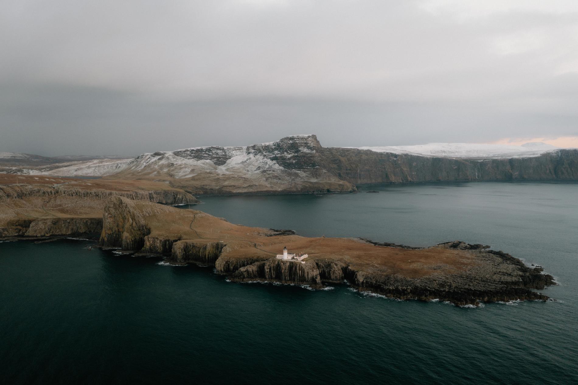
One of Skye’s most photographed spots, Neist Point is a short but dramatic walk out to the westernmost headland of the island. From the car park at the end of the single-track road near Waterstein, a steep concrete path descends quickly towards the point. Though the route is well maintained, it’s exposed in places and can feel challenging on the way back up. At the end, the now-automated Neist Point Lighthouse overlooks the sea, with regular sightings of dolphins and minke whales offshore and seabirds nesting on the cliffs in spring. The views stretch across the Minch to the Outer Hebrides. Despite its popularity, the site remains rugged and uncommercialised. There are no facilities, so arrive prepared. This walk is short enough for a late afternoon outing, but weather can roll in quickly. If skies are clear, it’s also a strong sunset spot.
Hallaig (3.7 miles)
This evocative coastal walk on the Isle of Raasay follows the line of an old track between North Fearns and the ruins of Hallaig, a village cleared during the 19th-century Highland Clearances. The route begins above the Sound of Raasay and leads east through birchwoods and across open ground, with wide views back towards Skye. The terrain is generally gentle, though boggy underfoot in places. At the site of Hallaig, moss-covered walls and stone foundations mark where homes once stood. A memorial stone inscribed with lines from Sorley MacLean’s poem “Hallaig” connects the present to the past with striking clarity. There’s a stillness here that feels at odds with the suffering the land has seen. The walk is linear, so return by the same route. It’s worth checking ferry times before planning a trip, as Raasay’s crossings from Sconser are limited outside peak season. On a quiet day, it’s possible to complete the walk without seeing anyone else.
Rubha Ardnish (4 miles)
A lesser-known route near Broadford, this walk explores the narrow peninsula of Ardnish, ending with the possibility of reaching the tidal islet of Eilean na Ruadhaich if the timing is right. The walk begins from a small parking area near Ardnish Point and follows a grassy track across open moorland, gradually approaching the sea. At low tide, the causeway to the island is exposed—check tide times in advance if you plan to cross. Even without venturing that far, the walk offers excellent birdwatching opportunities, with waders and sea birds often spotted along the shore. The area is rich in plant life and framed by views over Loch Eishort towards Sleat and the mainland hills beyond. Paths are faint in places and can become muddy, so waterproof footwear is a must. This is a peaceful route that feels removed from the busier parts of Skye, with only the occasional croft or fishing boat visible in the distance.
Blà Bheinn (5 miles)
Often described as one of the most rewarding hill walks in Scotland, the climb up Blà Bheinn (Blaven) offers a rugged but manageable route for those seeking a summit experience without tackling the full Cuillin ridge. The route begins from the car park at the head of Loch Slapin and follows a well-trodden path through heather and across streams before ascending steeply onto the shoulder of the mountain. The final approach to the summit involves some loose rock and light scrambling but no technical climbing. From the top, on a clear day, the views are extraordinary—stretching from the Cuillin to the Small Isles and beyond. The round-trip distance is roughly five miles, but the terrain makes it feel longer, and the weather can change quickly at altitude. This walk is best suited to experienced hillwalkers with proper gear and a map. Despite the effort required, the sense of scale and solitude makes it a standout route on the island.
Rubha Hunish (4.5 miles)
At the northernmost tip of Skye, this circular route leads to one of the island’s quietest and most scenic coastal headlands. The walk begins near the phone box at Kilmaluag, where a signed path guides you through open croft land and then gently downhill to the clifftops. From here, a detour takes you to the Lookout Bothy, a simple shelter perched above the sea with uninterrupted views over the Minch to the Outer Hebrides. This stretch is a recognised spot for watching whales, dolphins, and seabirds, especially during the summer months. After visiting the bothy, the trail climbs gradually back inland through low-lying pasture and rocky moor, eventually rejoining the outward path. The walk is relatively straightforward but can be boggy in places. It’s a good choice for those looking to escape the busier parts of the island, with dramatic sea views and a sense of remoteness that contrasts sharply with more popular sites. Keep an eye out for sea eagles circling overhead.
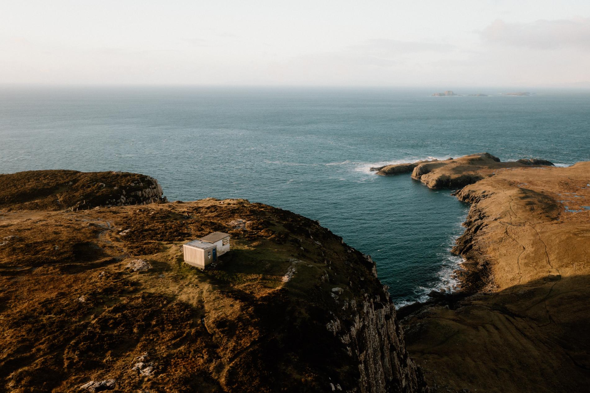
Rubha Hunish
7. Armadale Woods (3.5 miles)
This woodland circuit begins beside Armadale Castle, the former seat of Clan Donald, now home to a museum and visitor centre. The trail skirts the castle grounds and quickly climbs into mixed woodland that wraps around the hills above the estate. Though the start is close to the ferry terminal, the path soon becomes quiet, shaded by birch, oak, and Scots pine. Clearings along the way give views across the Sound of Sleat to the mainland mountains. The route is waymarked and relatively gentle underfoot, making it suitable for most walkers, even in damp conditions. Deer and red squirrels are sometimes spotted here, and in late spring and summer the undergrowth is thick with ferns, moss, and wildflowers. Returning via a different track brings you back past the castle’s gardens and down towards the shore. While it lacks the dramatic cliffs or high points of other walks on Skye, the Armadale Woods route offers a calmer, more intimate way to experience the island.
8. Scorrybreac Circuit (2 miles)
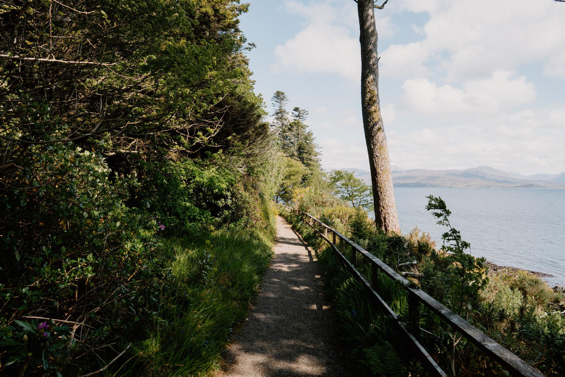
An easy loop with strong historical ties and excellent wildlife watching, this route begins near Portree Harbour and gently leads out along the coast. After passing the Cuillin Hills Hotel, the path follows an anti-clockwise arc around the headland, offering clear views of Raasay, Ben Tianavaig, and—on a lucky day—sea eagles circling above the bay. A memorial stone marks the connection to Clan Nicolson, whose ancestral land this once was. It’s also believed that Bonnie Prince Charlie sailed from here on his escape to Raasay. The circuit continues past low cliffs and windswept grassland, curving back inland through birch woodland before returning to the start. It’s short and manageable, but rewards with variety and a strong sense of place.
9. Elgol to Port an Luig Mhòr (2.5 miles)
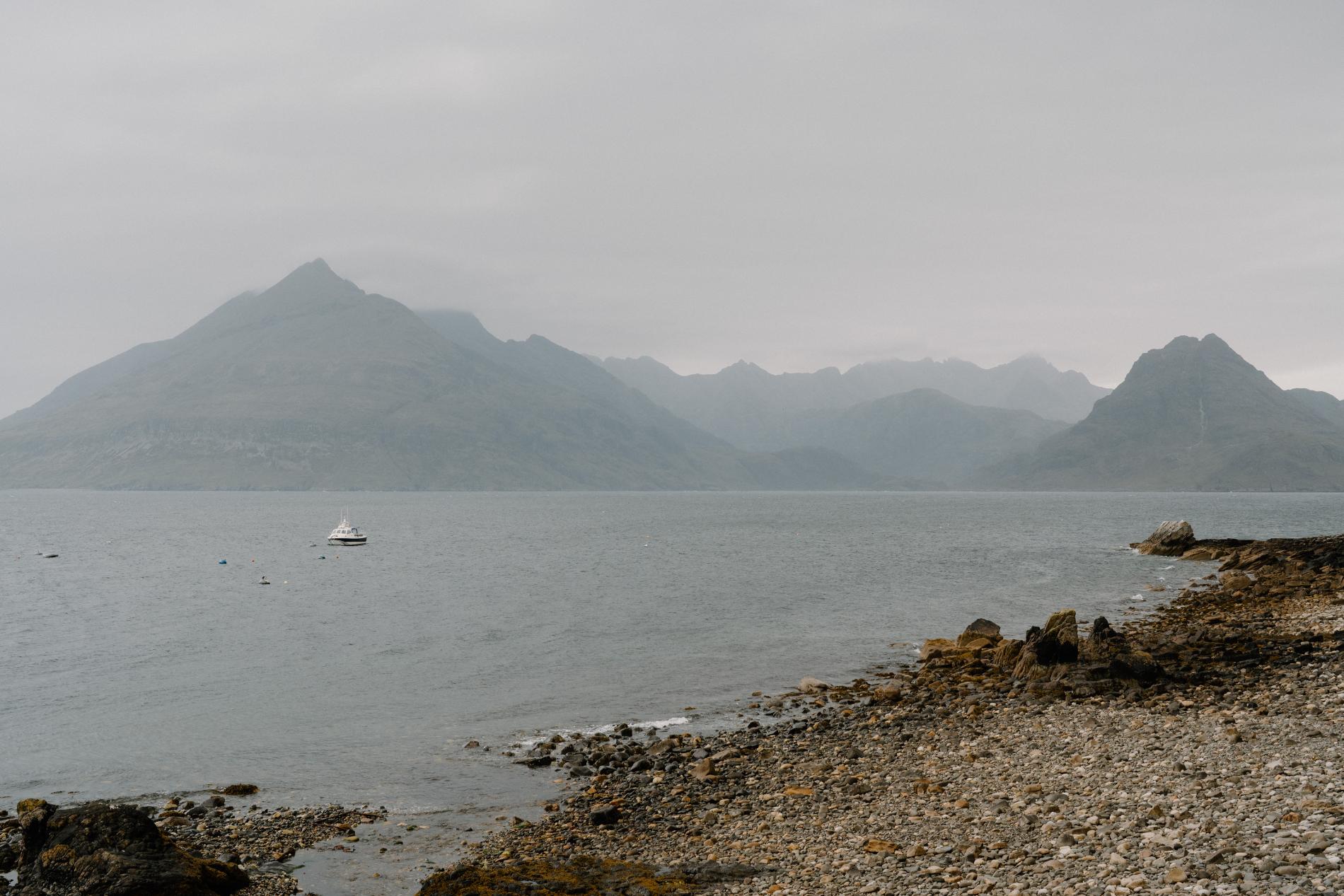
This short coastal walk begins above the jetty in Elgol, a remote village known for its views of the Cuillin range and across to the Small Isles. The route climbs gently onto clifftops with sweeping seaward panoramas, before tracing a narrow, sometimes boggy trail south along the shore. With Loch Scavaig and Blà Bheinn behind you, the outlook opens to Rum and Eigg. Depending on the tide and your confidence on rough terrain, there’s a possible detour to a sea cave said to have sheltered Bonnie Prince Charlie. Even without the scramble, the walk delivers a sense of Skye’s wilder edges.
10. Quiraing Loop (4 miles)
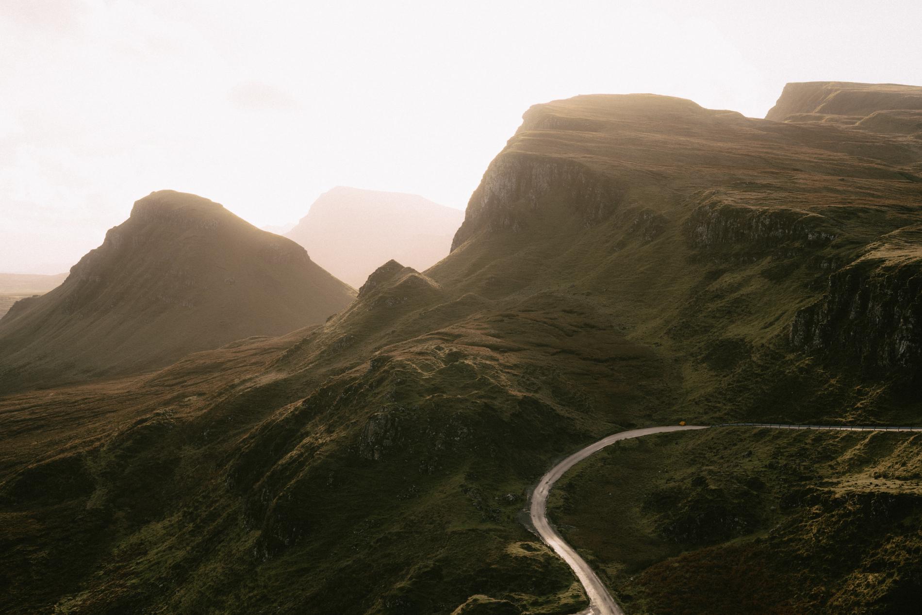
Among the most iconic walks on Skye, this circular route through the Quiraing’s distinctive geological features reveals why the Trotternish Ridge is so photographed. Starting at the busy car park, the trail contours beneath towering rock formations like the Needle and the Prison. As the route opens into a hidden valley, it feels increasingly remote, especially if you press on beyond the initial crowds. There’s an optional detour up Sròn Vourlin for cliff-edge views of Flodigarry and the sea beyond. The main trail eventually climbs back along a higher path to rejoin the starting point. Weather can change fast here, and the footing is often muddy, so come prepared.
Whether you’re drawn to coastal paths, ancient ruins, dramatic cliffs or inland peaks, Skye’s walks reveal far more than the views. They trace stories of clearance townships, wartime lookouts, clan histories and geological upheaval. Many are short enough to fit into a day trip, while others invite a slower return, especially if you stop to watch for dolphins or take in a sea-scented breeze above the heather. Some routes, like Rubha Hunish or Hallaig, feel almost forgotten. Others, like the Quiraing or Neist Point, are popular for good reason. But in every case, walking here still feels like the best way to understand the island’s scale, solitude and layered past. Bring good boots and time to spare—you won’t regret it.
Promoted Post
The Scullery
Tucked away in the heart of the Yarrow Valley, The Scullery is a one-bedroom boutique hideaway, eloquently designed for comfort, calm, and connection. Whether you’re escaping the city or craving a countryside reset, this is your space to slow down and just be.
-listable-carousel-1769292770.jpg)








 Sign in with Google
 Sign in with Email