
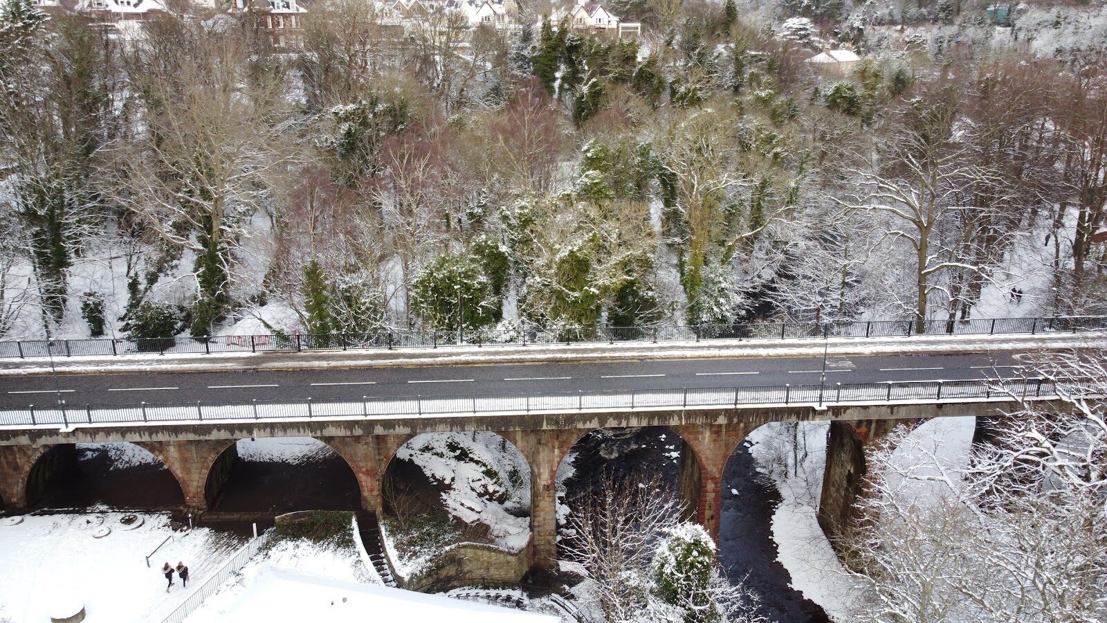
Balerno to Colinton – The Upper Water of Leith
About 4 miles on foot.
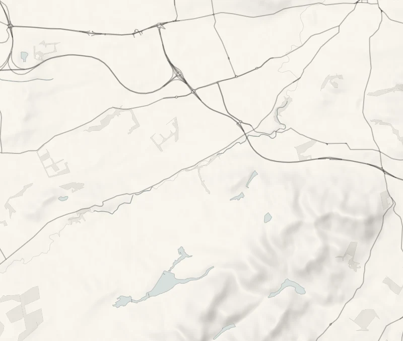
The Water of Leith Walkway begins at Balerno, at the foot of the Pentlands, and for its first few miles it's a country path.
The river slides between wooded banks past the old mill villages of Currie and Juniper Green, and the walkway keeps beside it on the line of a long-closed railway. This walk follows it downstream for about four miles to Spylaw Park in Colinton, with a bus back along the main road.
- Time
- An hour and a half to an hour and three-quarters: about four miles one way, gently downhill.
- The path
- A woodland and old railway path, shared with cyclists and muddy after rain. Parts suit a wheelchair or pushchair, not all.
- When to go
- All year in daylight. From November to January set off by 1pm.
- Dogs
- Under control: the path is shared with cyclists.
- Children
- A level riverside walk, long for small legs: the bus stops at Currie and Juniper Green cut it short.
- Before you set out
- Shared with cyclists. Muddy after rain. Look at the Trust's walkway page for closures after a storm.
The walk
The walk begins in Balerno, where the Water of Leith Walkway sets off downstream from the village. Lothian's 44 bus runs out to Balerno from the city, and it comes back the same way, along the main road above the river, with stops by Spylaw Park in Colinton, in Juniper Green and in Currie. So you can ride out and walk back towards town, or leave a car in Balerno and take the bus back to it. Check the times on Lothian Buses' site before you set out. The Water of Leith Conservation Trust gives Balerno to Slateford as five miles and two hours.
Colinton comes before Slateford, so reckon on about four miles and an hour and a half to an hour and three-quarters. It's downhill all the way, though you'd hardly notice. The path runs through woodland beside the river, on an old railway line in places, past Currie and Juniper Green. The mills that once lined this stretch needed a steady flow, and the reservoirs up in the Pentlands were built in the mid-1800s to give them one. The walk ends at Spylaw Park in Colinton.
Beyond it the river drops into Colinton Dell and the painted railway tunnel, which make a day of their own. The path is shared with cyclists and turns muddy after rain, and parts of it suit a wheelchair or pushchair but not all. Dogs are welcome under control. Don't count on toilets along the way. From November to January, set off by 1pm.
If it rains
The path is level and mostly firm, so a shower does no harm, though it turns muddy. After a storm or heavy rain, look at the Trust's walkway page for closures before setting out.
Before you go
Book accommodation nearby
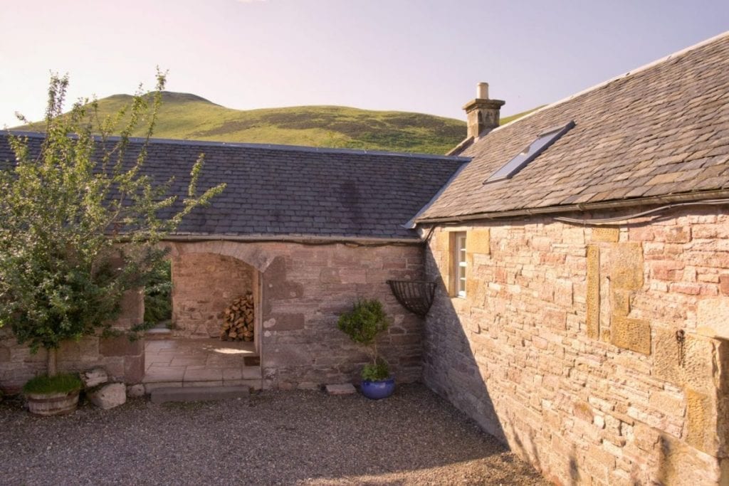
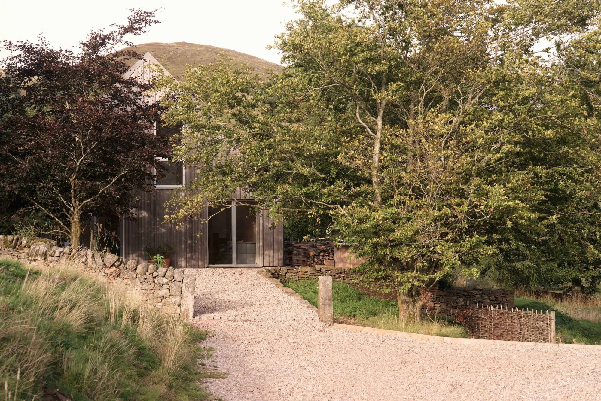
If you are staying over: here are ours nearest where the day starts and ends.


For further reading, before you go.