
Tomintoul – Out to the Old Bridge of Avon
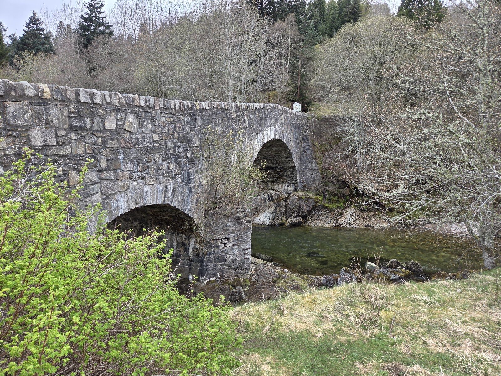
The military road of the 1750s crossed the River Avon below Tomintoul on a stone bridge that is still standing.
This walk goes out to it from the village over grass and through woodland, past a viewpoint over the river, and comes back the same way.
- Time
- Allow two hours there and back. Between two and a half and three and three quarter miles (4 to 6 km), the longer figure counting the pavements through the village.
- The path
- Tracks and narrow, rough, undulating grassy paths that can be muddy. One long, steep, rough climb, a road crossing and a short stretch on the road to reach the bridge.
- Where to start
- Free in the Square at Tomintoul, or in the public car park just off it on Tomnabat Lane.
- When to go
- Daylight, on a day without snow or ice on the ground: this is high country, and from mid October to March winter can arrive overnight.
- Dogs
- Close by you, and on a lead where signs ask and near farm animals.
- Children
- A stiff climb and a stretch of road: for children used to walking, kept close on the road and at the river.
- Toilets
- Free public toilets on Tomnabat Lane, just off the Square. None on the walk.
- Before you set out
- On 9 October 2026 the National Park listed no closure at Tomintoul. The roads to the village can shut in snow. Heed any estate signs on the way.
The walk
This walk leaves Tomintoul for the River Avon and the old bridge that carried the military road across it. The bridge was built in 1754, two arches of rough stone over the water, and the bank beside it is a good place for a picnic. The way out is over grassland and through woodland, past the Victor Gaffney viewpoint, named for a local historian. From there you look across the river to the high tops of Ben Avon and back to the village.
It's there and back by the same paths, on tracks and narrow, rough grassy trail that can be muddy. There is one long, steep, rough climb, and the last stretch to the bridge is on the road. Not every path here is waymarked, so carry the National Park's map of the Tomintoul paths. Tomintoul is the highest village in the Highlands, and snow and ice come early.
Leave the walk for another day when the ground is white. The river's name is pronounced A'an.
If it rains
Open grassland for much of the way, with little shelter, and the rough climb is slippery when wet. A walk for a dry day.
Before you go
Book accommodation nearby
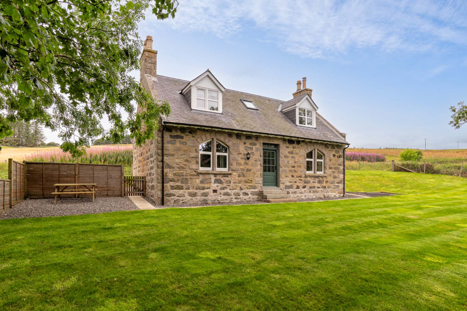
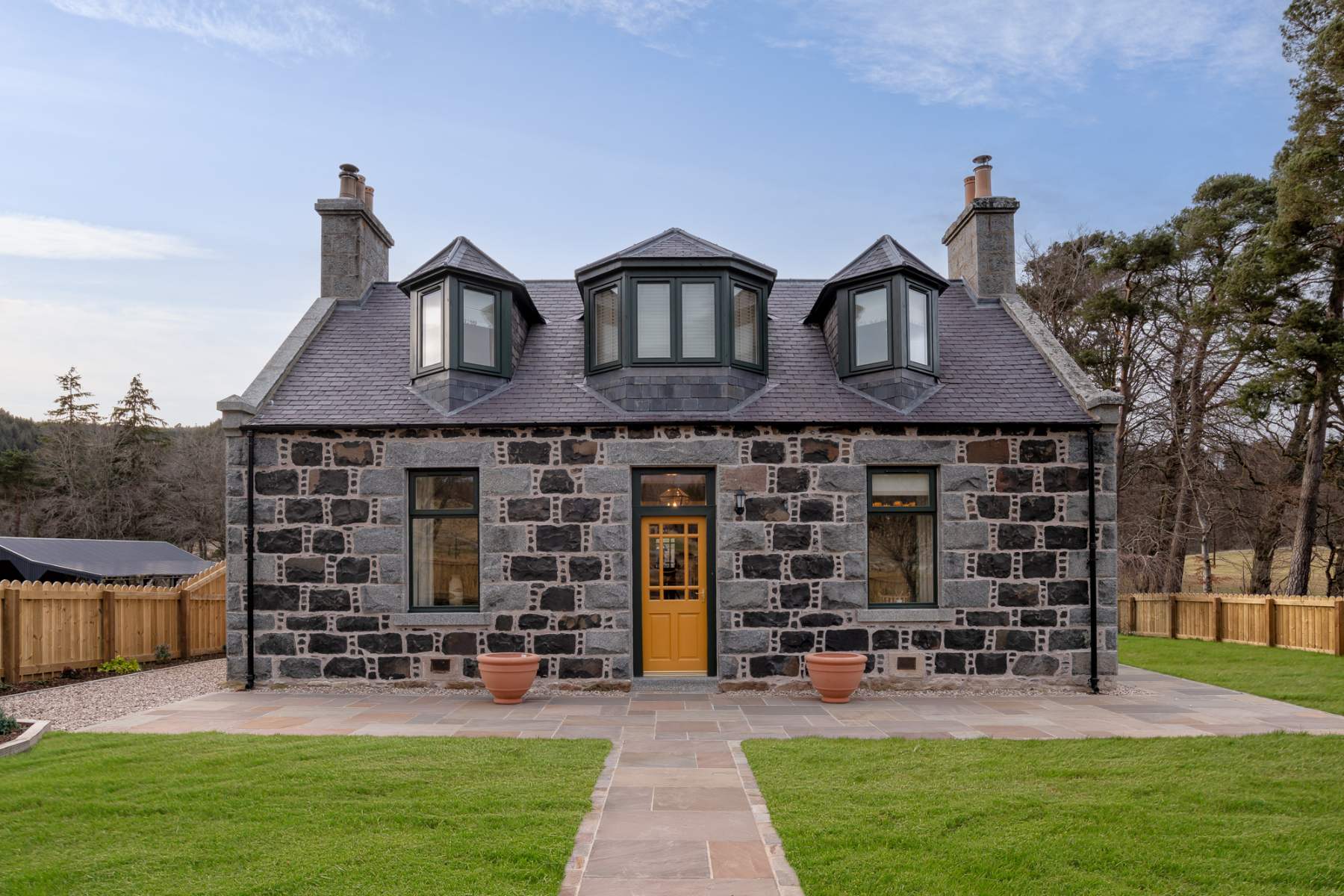
If you are staying over: here are ours nearest where the day starts and ends.
For further reading, before you go.
Photograph by Marie Barley via Google