
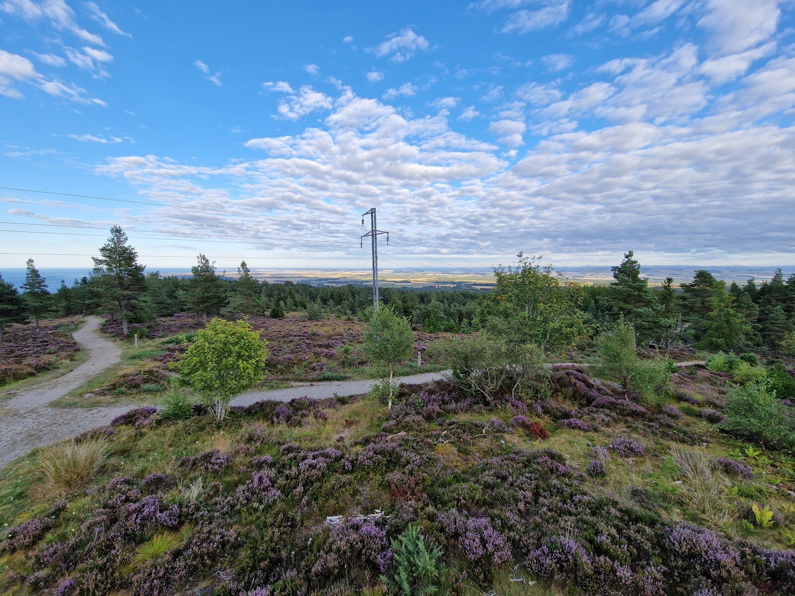
Tain Hill and Aldie Burn – Two Easy Walks in the Pines
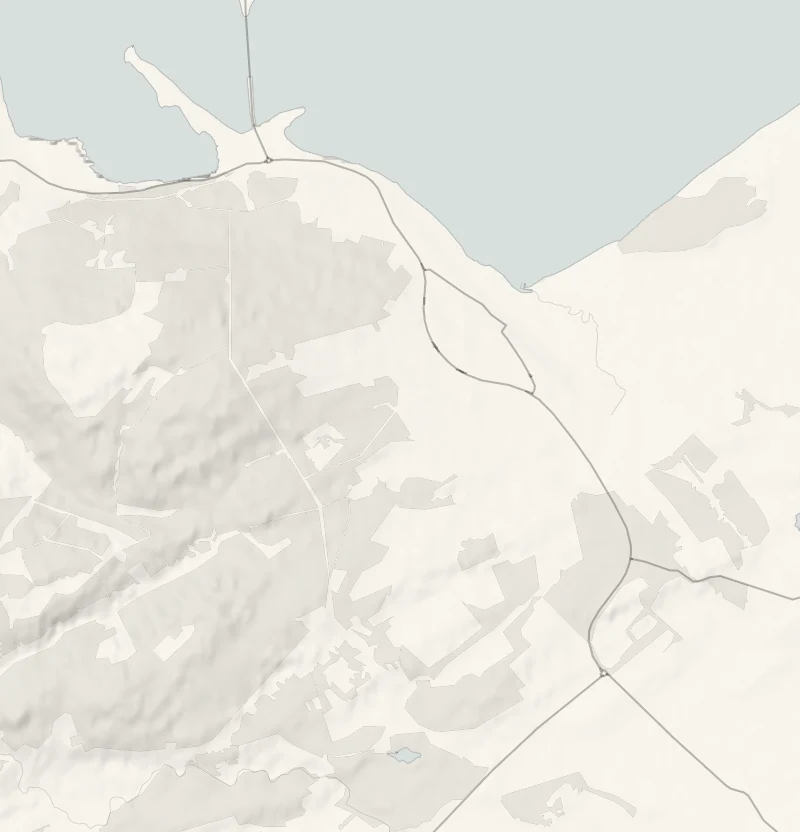
In the pinewoods just west of Tain there are two short Forestry and Land Scotland walks a short drive apart.
One climbs to Pulpit Rock on Tain Hill for a view down the Dornoch Firth, and the other follows the Aldie Burn on wide, smooth paths that suit a pushchair. Do either or both, then head into Tain for lunch at Platform 1864, in the old railway station.
- Time
- About three quarters of an hour by Forestry and Land Scotland's Pulpit Rock Trail, 1.8 km. A short forest climb.
- The path
- An uneven gravel path with some fairly steep slopes.
- Where to start
- Tain Hill car park, at the end of the tarred part of Quarry Road, off the A9 on the Tain bypass: free. IV19 1PX is the nearest postcode.
- When to go
- All year in daylight. Take care at Aldie Burn's car park on frosty days.
- Children
- A short climb; keep hold of young children on the rock.
- Toilets
- The nearest public toilets are in Tain.
The walk
Tain Hill's car park is at the end of the tarred part of Quarry Road, which leaves the A9 on the Tain bypass at the brown sign for the Tain Hill forest walk. It's free, and IV19 1PX is the nearest postcode. Forestry and Land Scotland's Pulpit Rock Trail is 1.8 km and takes about three quarters of an hour.
Most of the height is gained in the car, and what's left is a steady climb through twisted pines, heather and moss on an uneven gravel path that is fairly steep in places. Pulpit Rock is the viewpoint at the top, and from it you look out over the Dornoch Firth towards the low point of Tarbat Ness. Listen for crossbills in the pines on the way.
Keep hold of young children on the rock. There are no toilets here: the nearest are in Tain.
If it rains
Both walks are under trees and short, and Aldie Burn's gravel paths stay firm in the wet, so light rain needn't stop you. In heavy rain, leave the hill, as there's no view, and walk the Pond Trail before lunch.
Afterwards
9 min by car
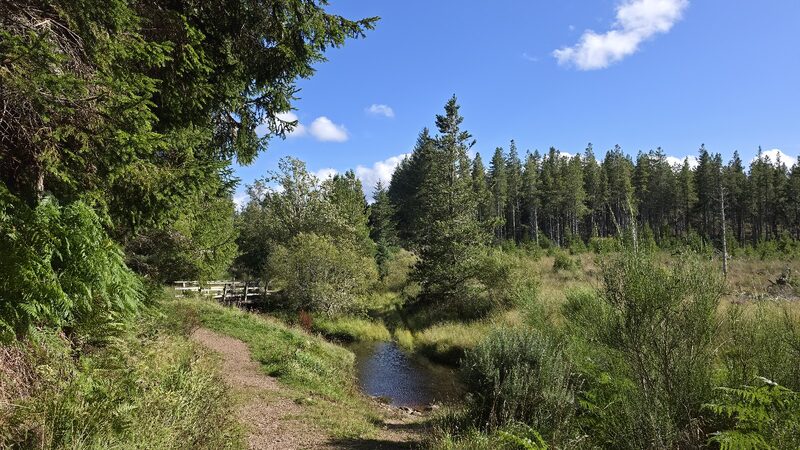
Aldie Burn
Drive 9 minutes on to Aldie Burn's car park, at the end of a forest road. From the A9 on the Tain bypass, follow the brown signs for the Aldie Burn forest walk, on the road signed for Scotsburn. It's free, and IV19 1PL is the nearest postcode. Take care on a frosty morning, because this car park ices over easily. There are two waymarked trails here, both on wide, smooth gravel with only moderate slopes, and Forestry and Land Scotland grades them easy. The Pond Trail is 1.2 km and takes about half an hour, out to a pond shaped like a salmon where children can try pond dipping, with a place to picnic by the burn. The Aldie Burn Trail is 2.8 km and takes about an hour, up the glen beside the water and back through old Scots pines and heather. It crosses two bridges, the narrower a metre wide. The burn once drove several watermills and supplied Tain with its water. Horses are welcome on these trails too. There are no toilets here.
9 min by car
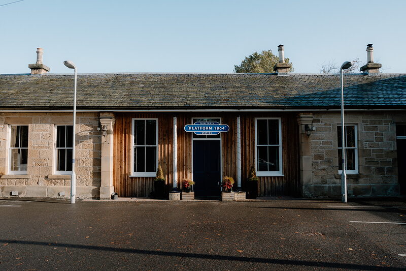
Platform 1864
Lunch
Lunch is at Platform 1864, in the old station building beside the railway in Tain, 9 minutes' drive from Aldie Burn. The building stood empty for more than thirty years before it was restored and opened in 2015 as a pub and restaurant, and the old signs and framed timetables are on the walls. The menu runs from breakfasts and light lunches to pub meals, and there's a beer garden with a play area for children. It's open seven days a week from 10am. Ring 01862 894181 to check when the kitchen is serving, and to book a table. Over Christmas and New Year, check before going.
Before you go
Book accommodation nearby
If you are staying over: here are ours nearest where the day starts and ends.
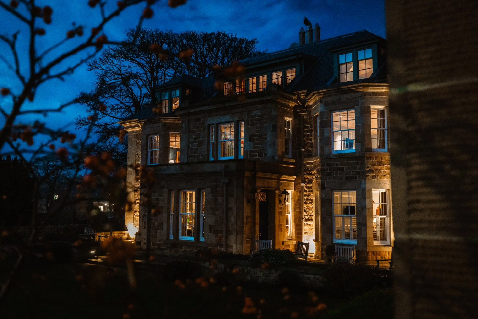
The nearest of ours is Links House at Royal Dornoch in Dornoch, 5 miles away.
Book a table at Platform 1864 on 01862 894181, and ask then for the kitchen's lunch hours.
Where to eat
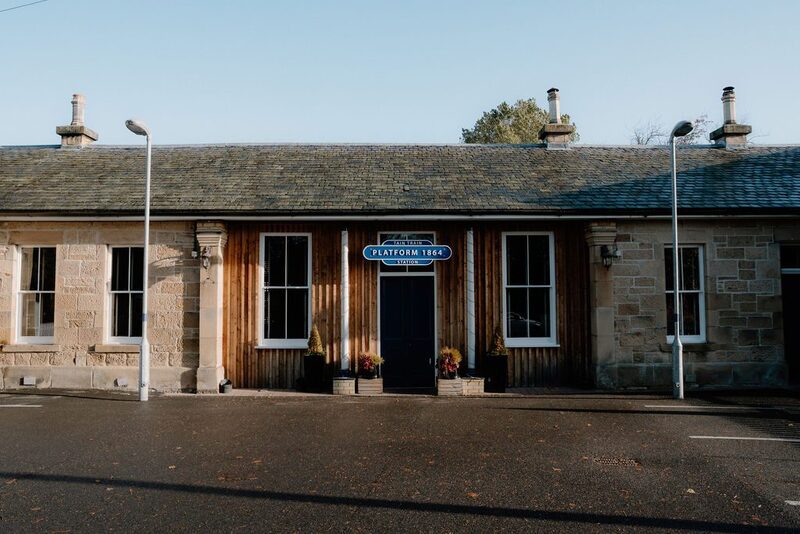
Platform 1864, a restaurant in Tain.
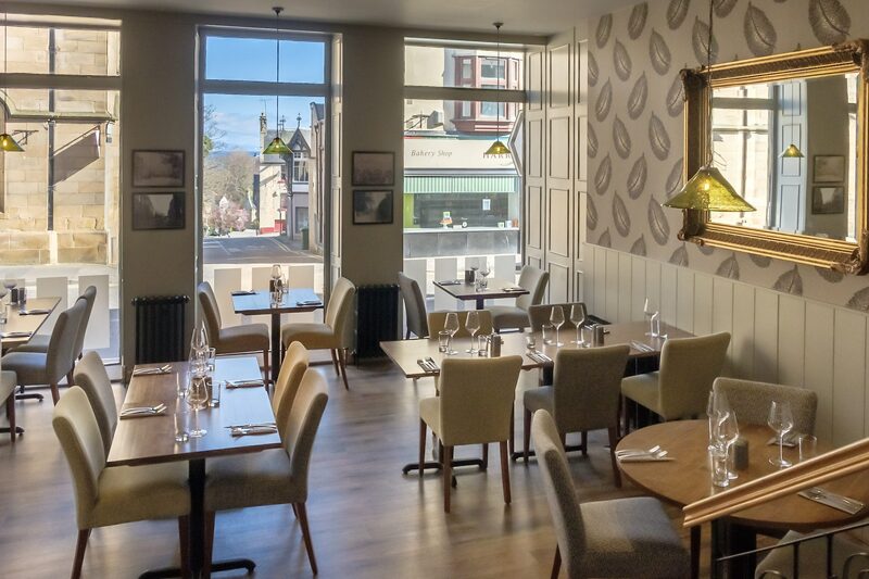
Greens Restaurant, a restaurant in Tain.
For further reading, before you go.
Photographs by Alan Hunter and Bren Hol via Google