
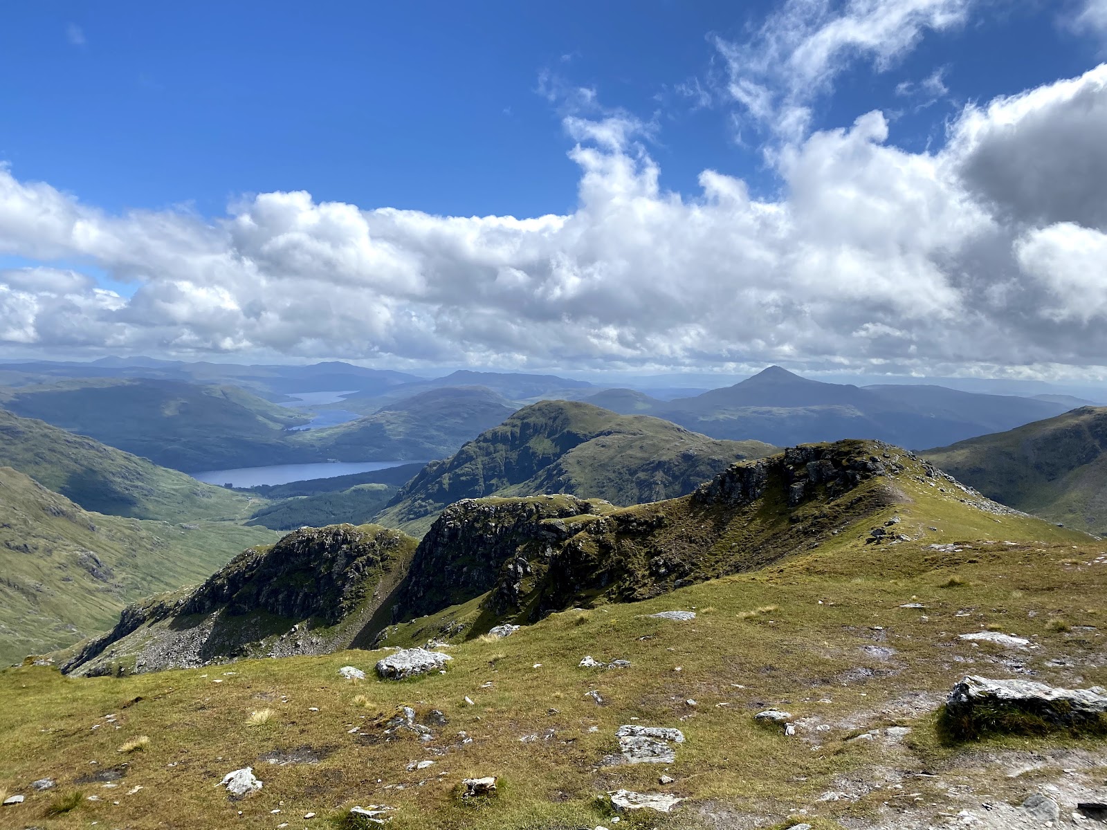
Beinn Ime – Up the Glen Behind the Cobbler
9 miles · 6 to 7 hours · a hill · there and back
paid parking
Beinn Ime is the highest of the Arrochar Alps, the hills to the west of Loch Lomond, and its summit stands at 1,011 metres, the national park says.
The way up starts from the Succoth car park at the head of Loch Long. It zig-zags up through the forest and follows a wide glen past Beinn Narnain and the Cobbler to a bealach, then climbs to the top and comes back the same way. By our map it is about 15 km there and back with about 1,000 metres of climb, and it takes about 6 to 7 hours. Forestry and Land Scotland says these hills are for experienced hillwalkers only.
Where it starts
Start at the Succoth car park at the head of Loch Long, five minutes' walk from Arrochar, the national park says.
Is it for me?
Tap who is coming, or the day you have, for the answer on this walk.
Before you go
Getting there
Argyll and Bute Council's car park at Arrochar on the A83 is Glenloin No 2, postcode G83 7AL: for 2026/27, £1.20 an hour or £10.30 for the whole day, pay and display from 9am to 6pm every day, by machine or PayByPhone. The council lists a second car park, Glenloin No 1, as Luss Estates'. By our map the path starts across the A83 from the Succoth car park, on a 40 mph road. From Glasgow, the A82 to Tarbet on Loch Lomond, then left on the A83, which reaches Arrochar after a mile. Citylink's coaches from Glasgow's Buchanan Bus Station to Oban and Campbeltown stop at Arrochar in about 1 hour 15 minutes; the West Highland Line reaches Arrochar and Tarbet station in about 1 hour 30 minutes, a 1½ mile walk from the car park along a forest path. Start early enough to be down in daylight.
On the path
About 6 to 7 hours there and back: about 15 km (9¼ miles) and 1,000 metres of climb by our map, from the Succoth car park at the head of Loch Long to the 1,011 metre summit and back the same way. A signposted path zig-zags up through the forest and follows a wide glen below the Cobbler, crossing burns with no bridge, to a bealach; from there the path is fainter, and the national park says there is a little scrambling at the top. A long Munro day of 1,011 metres that Forestry and Land Scotland says is for experienced hillwalkers only: for older children used to hill days, with an adult who can navigate. The map to carry is OS Landranger 56, Loch Lomond & Inveraray (1:50,000).
Good to know
All year in daylight, on a clear day with a good forecast. Keep a dog under close control where there is livestock, on a short lead in a field of animals, and never in a field with lambs, the national park asks. None at the car park: the nearest public toilets are in Arrochar village, across the loch, Forestry and Land Scotland says. Under snow it is a winter mountain, and no avalanche forecast covers Beinn Ime (the Scottish Avalanche Information Service forecasts six other areas). The land may be in use for deer management and farming: follow any signs.
The walk
The national park's way up Beinn Ime starts from the Succoth car park at the head of Loch Long, close to Arrochar, and comes back the same way. By our map it is about 15 km (9¼ miles) there and back, with about 1,000 metres of climb. Allow about 6 to 7 hours, more with stops, in poor weather or under snow, and leave plenty of daylight for the way down. Forestry and Land Scotland says these hills are unmarked, with a mix of steep, rocky and open ground, and should be attempted by experienced hillwalkers only. There are other ways up, from Butterbridge and from Inveruglas; this walk keeps to the park's.
By car, follow the A82 from Glasgow to Tarbet on Loch Lomond, then turn left on the A83, which reaches Arrochar after a mile, the park says. It calls the start the Succoth car park, five minutes' walk from the village. Argyll and Bute Council's car park at Arrochar on the A83 is Glenloin No 2 (G83 7AL): for 2026/27 it charges £1.20 an hour or £10.30 a day, pay and display from 9am to 6pm every day. The council lists a second, Glenloin No 1, as Luss Estates'. Citylink's coaches from Glasgow to Oban and Campbeltown stop at Arrochar in about 1 hour 15 minutes. Arrochar and Tarbet station is a 1½ mile walk from the car park along a forest path, Forestry and Land Scotland says. The nearest toilets, shops and cafés are in Arrochar village, across the loch.
Before you set off, check the mountain forecast, and under snow the snow and avalanche conditions too, as Mountaineering Scotland advises for every trip. Every Munro needs a good level of fitness and navigational skills, the national park says, and you should be ready for changeable weather. Conditions on the hills are often much colder and windier than at the loch, even on a clear summer day, Forestry and Land Scotland warns. Wear good walking boots and carry warm, waterproof clothing, plenty of food and drink, and a torch in case the day runs long. Carry a map and compass and know how to use them, and do not rely only on a phone or GPS. Leave word with someone of where you are going and when you will be back.
By our map the path starts across the A83 from the car park, so cross the road with care: it is a 40 mph road here. The path is signposted, the park says, and climbs through the forest in a long series of zig-zags. Above them it carries on up through the trees and out into a wide glen, the glen of the Allt a' Bhalachain, with the flanks of Beinn Narnain above on the right and the Cobbler ahead on the left. By our map the path crosses several small burns in the glen with no bridge, and higher up it crosses the Allt a' Bhalachain itself, also with no bridge. The owners of the land may be managing deer or farming it, the park says: follow any signs. Keep a dog under close control where there is livestock, and never take one into a field with lambs.
About 4 km up, by our map, a path goes off to the left for the Cobbler. Keep on up the glen to the bealach at its end, the Bealach a' Mhaim, between Beinn Ime and Beinn Narnain. Paths go off from here to Beinn Narnain too. It is a Munro of its own and not part of this walk.
From the bealach the path grows fainter, the park says, and there is a little scrambling at the top, though it says this should not pose too many problems. By our map the way climbs the hill's south-east side, and this is the steepest part of the walk. Out on Scotland's hills there are no waymarks or signposts and paths can be hard to follow, Forestry and Land Scotland warns. This is where a map and compass count.
The way up from the bealach is the place to decide. If the cloud is coming down, the wind is rising or anyone is tiring, turn back: Forestry and Land Scotland asks walkers to turn back if they get tired. Under snow it is a winter mountain, and no avalanche forecast covers Beinn Ime. The Scottish Avalanche Information Service forecasts six other areas, from Lochaber and Glencoe to the Cairngorms and Torridon. That is no sign there is no risk here.
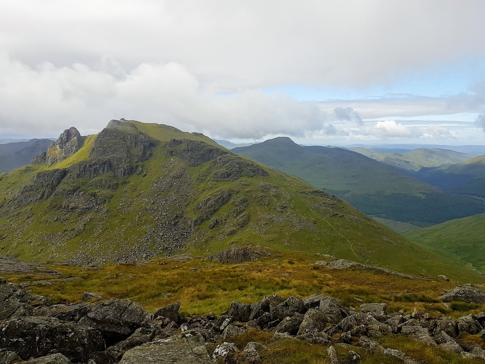
The summit is 1,011 metres, the park says, with a mysterious oval stone enclosure on the top. On a clear day the view takes in the rest of the Arrochar Alps and runs south along the Cowal Peninsula, over moorland, hills, mountains and sea lochs. The name means the butter mountain in Gaelic. Shepherds from Glen Croe once brought their animals to summer here, and the ruins of their shieling huts lie on the slopes facing Glen Kinglas, off this walk.
The way down is the way you came, back to the bealach, down the glen and through the forest to the car park. In cloud, check the line with your map and compass before you leave the top. If someone is hurt, dial 999 and ask for the police, the park says, and give an exact location, a grid reference if you can. Check for ticks after the walk and remove them quickly, Forestry and Land Scotland asks: they can carry Lyme disease.
If it rains
None on this walk: in rain, low cloud or a high wind, leave the summit for another day. The path from the bealach is faint, there are no waymarks on the hill, and Forestry and Land Scotland asks walkers to turn back if they get tired.
After the walk
Something to do with the rest of the day, nearest the end of the walk first.
With the rest of the day
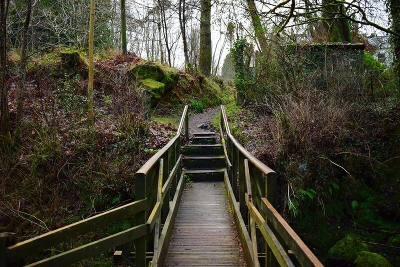 5 min by roadThings to doTarbetThe village on the narrow neck between Loch Lomond and Loch Long, below the Arrochar Alps, where Vikings dragged their boats.
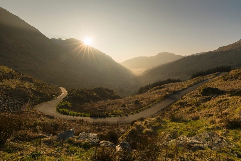 5 min by roadThings to doRest and be ThankfulThe pass at the head of Glen Croe, 803 feet up, where travellers have stopped to rest since the military road of 1749.
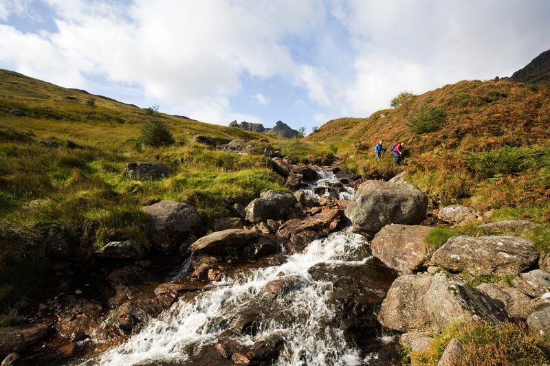 6 min by roadThings to doThe CobblerBen Arthur, the Cobbler, the most distinctive mountain in the Southern Highlands, above Arrochar, climbed from Succoth on a path of about seven miles.
Places to stay near the walk
Our places to stay nearest the start, by road.
An advert · Lochgoilhead
Seal Cabin
A little timber cabin for two at the water's edge of Loch Goil near Lochgoilhead, with a log burner, a bed up a ladder and a deck for watching the seals.
Sleeps 2 · 21 minutes by road
See Seal Cabin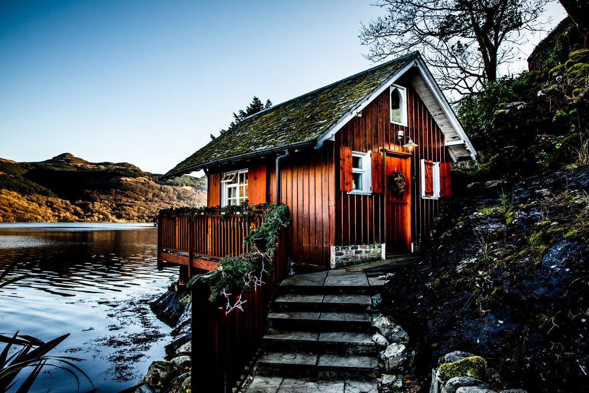
More places to stay near the walk
More walks near here
Within a short drive of the start.
Did this walk?
Tell the next person how it went. The best go on this page, with your name.
For further reading, before you go.
- Beinn Ime (1,011m), Loch Lomond and The Trossachs National Parklochlomond-trossachs.org↗
- Five easier Munro walks, Loch Lomond and The Trossachs National Parklochlomond-trossachs.org↗
- Arrochar, getting there and parking, Forestry and Land Scotlandforestryandland.gov.scot↗
- Arrochar, alerts, Forestry and Land Scotlandforestryandland.gov.scot↗
- Mountain access and safe hillwalking, Forestry and Land Scotlandforestryandland.gov.scot↗
- Respect the landscape: emergencies, dogs, livestock and stalking, Loch Lomond and The Trossachs National Parklochlomond-trossachs.org↗
- Safety and skills, Mountaineering Scotlandmountaineering.scot↗
- The West Highlands mountain forecast, the Mountain Weather Information Servicemwis.org.uk↗
- Avalanche forecasts, Scottish Avalanche Information Servicesais.gov.uk↗
Photograph by Racha Pongchalee via Google
Maps from OpenFreeMap © OpenMapTiles, data © OpenStreetMap contributors; heights from Mapzen's terrain tiles.