
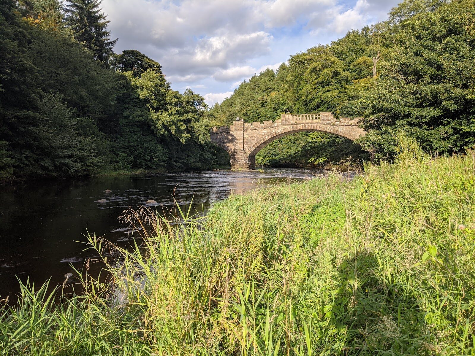
Almondell – A Wooded Gorge on the River Almond
About 4 miles on foot.
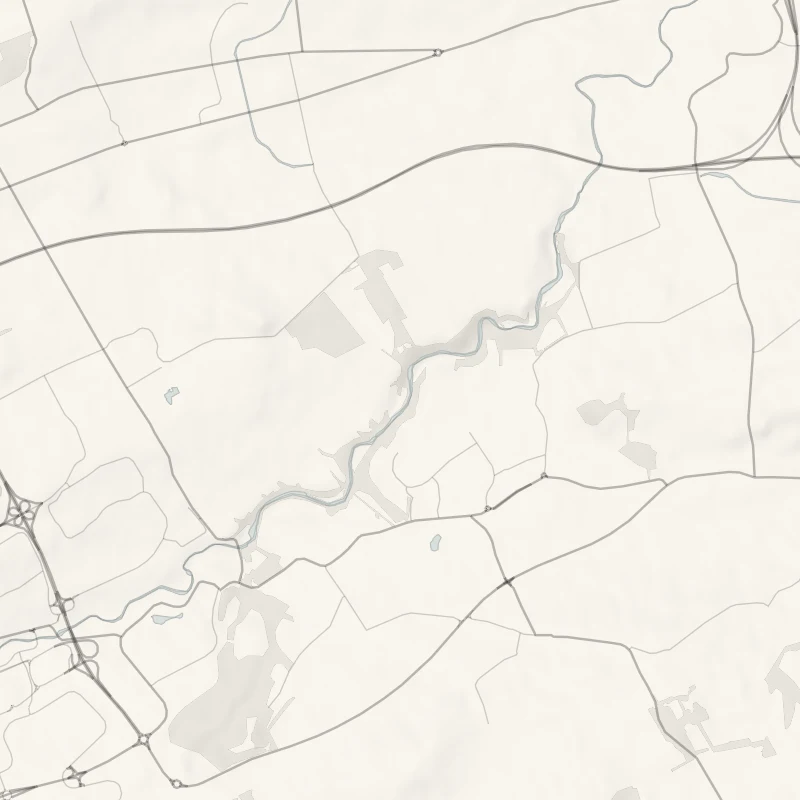
Almondell and Calderwood Country Park fills a wooded gorge of the River Almond between East Calder and Broxburn, west of Edinburgh.
The river runs fast and brown over rock shelves under big beeches, and stone and iron bridges two centuries old cross it one after another. A walk of four miles takes in the woods above the water and the bank beside it, with a visitor centre and café in the middle.
- Time
- About two hours: four miles, or 6.5 km, on asphalt, red shale, steps and footbridges.
- The path
- Asphalt and red shale paths with steps and footbridges.
- Where to start
- The Almondell and Calderwood car park at East Calder, off the B7015. The council's list of charges has none for parking.
- When to go
- All year in daylight. The Almond Feeder Aqueduct is closed to walkers. From November to January set off by 12.30pm.
- Children
- A play area for toddlers and juniors by the visitor centre.
- Toilets
- At the visitor centre, in the middle of the park.
- Before you set out
- The Almond Feeder Aqueduct is closed to walkers: do not cross it. Use the other bridge nearby and follow the signs. Bikes share the main paths.
The walk
Park at the Almondell and Calderwood car park at East Calder, off the B7015. West Lothian Council's list of country-park charges has none for parking. Visit West Lothian's Almondell Walk starts here. It gives four miles, or 6.5 km, through the woods above the River Almond and along its bank, on asphalt, red shale, steps and footbridges, and it takes about two hours. In the middle of the park is the visitor centre, with a café and toilets and a play area beside it.
A little upstream is the Nasmyth Bridge, a stone arch designed in 1800 by the landscape painter Alexander Nasmyth, and a tall viaduct crosses the valley beyond. The park's other well-known crossing, the Almond Feeder Aqueduct, is closed to walkers. It's a cast-iron trough of about 1820 that carries the Union Canal's feeder stream over the river, and Scottish Canals shut it after cracks and weak spots were found in the iron. Don't cross it. Scottish Canals says there is another bridge nearby, so follow the signs on the ground.
If you're unsure of the way round, ask at the visitor centre, or ring it on 01506 882254 before you set out. Dogs and children are welcome. National Cycle Route 75 runs through the park, so expect bikes on the main paths. From November to January, set off by 12.30pm.
If it rains
The main paths are asphalt and shale under trees, so it's still a walk in the rain, though the steps are slippery. The visitor centre and its café are in the middle of it.
Before you go
Book accommodation nearby
If you are staying over: here are ours nearest where the day starts and ends.
For further reading, before you go.
- The Almondell Walk, Visit West Lothianvisitwestlothian.co.uk↗
- Almondell and Calderwood Country Park, West Lothian Councilwestlothian.gov.uk↗
- The park map, West Lothian Councilwestlothian.gov.uk↗
- The aqueduct's closure, Scottish Canalsscottishcanals.co.uk↗
- A longer route, Walkhighlandswalkhighlands.co.uk↗
Photograph by Beáta Katona via Google