
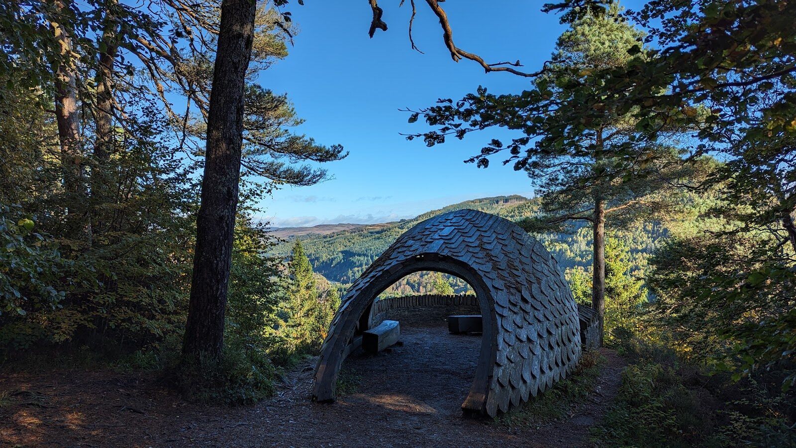
Pine Cone Point – A Lookout over the Tay
About 2.9 miles on foot.
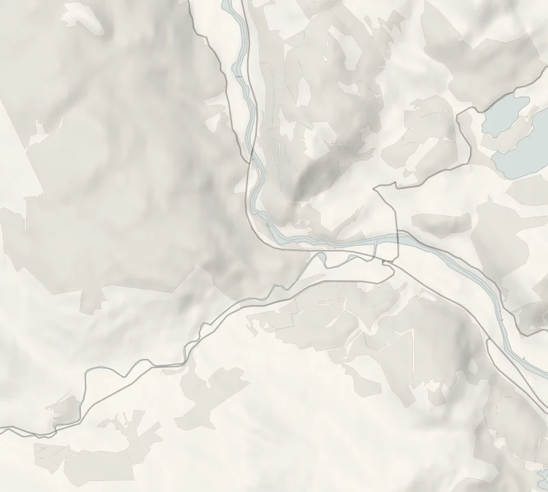
Craigvinean Forest climbs the hillside just west of Dunkeld, one of the first forests of Perthshire's Big Tree Country, planted by the Dukes of Atholl.
A waymarked trail winds up through tall conifers to Pine Cone Point, a lookout sheltered by a wooden roof shaped like a giant pine cone, with wooded valleys, crags and the Tay below. It's an easy-going morning, and the car park is free.
- Time
- About an hour and a half: the Pine Cone Point Trail, 4.6 km from the Craigvinean car park. A walk with one long, moderate climb.
- The path
- Wide, firm, mostly smooth gravel with a long moderate slope and some steeper sections.
- Where to start
- Forestry and Land Scotland's Craigvinean car park, 250 m from the A9 at the Hermitage turn-off (PH8 0JR); free.
- When to go
- All year in daylight.
- Dogs
- Under close control in the forest.
- Children
- Wide tracks and a steady climb; fine for children who walk an hour and a half.
- Toilets
- The nearest public toilets are in Dunkeld.
The walk
The walk starts at Forestry and Land Scotland's Craigvinean car park, a mile west of Dunkeld (nearest postcode PH8 0JR). It's 250 metres along on the right after you turn off the A9 at the sign for the Hermitage. Parking there is free, unlike the National Trust's Hermitage car park next door.
The Pine Cone Point Trail is 4.6 km, about an hour and a half, on wide, firm gravel, mostly smooth, with one long, moderate climb of about 600 metres and a few steeper bits. It winds up through tall pine, fir and larch to Pine Cone Point, a lookout under a shingled wooden roof shaped like a giant pine cone. The view runs over wooded valleys and crags to the silver line of the Tay.
The shorter Torryvald Trail, 1.7 km, about 45 minutes, goes to a small folly named after a long-deserted township. Look for chewed pine cones with only the stalk left, the sign of red squirrels. The nearest toilets and shops are in Dunkeld.
If it rains
Under the trees and on firm gravel the whole way; the view goes in low cloud, but the lookout has a roof.
Before you go
Book accommodation nearby
If you are staying over: here are ours nearest where the day starts and ends.
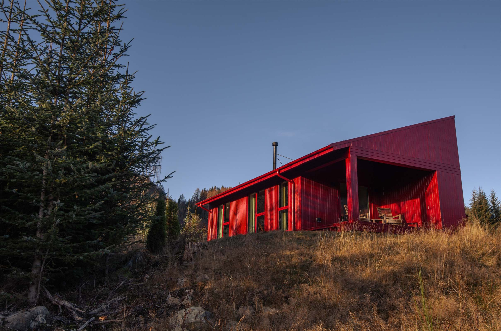
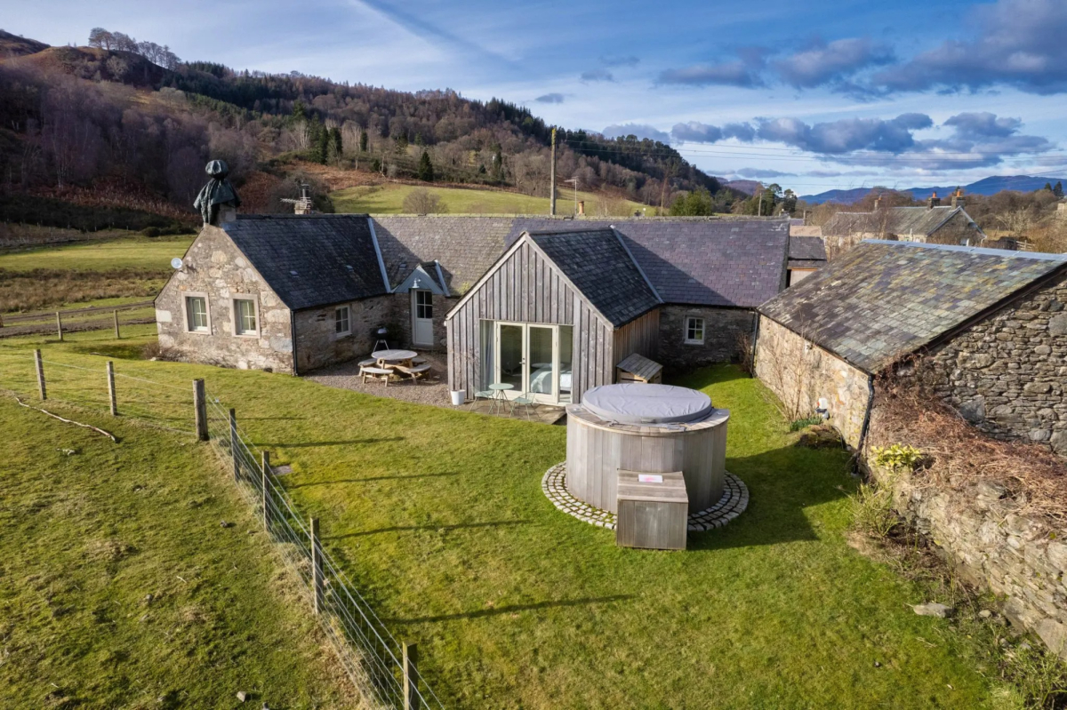
For further reading, before you go.
- Craigvinean, Forestry and Land Scotlandforestryandland.gov.scot↗
- The Craigvinean trails, Forestry and Land Scotlandforestryandland.gov.scot↗
- The Dunkeld path network, Perth and Kinross Councilpkc.gov.uk↗
- The Inver walk and Pine Cone Point, Walkhighlandswalkhighlands.co.uk↗
- Walkers' recordings and reviews, AllTrailsalltrails.com↗
Photograph by Ross Conner via Google