
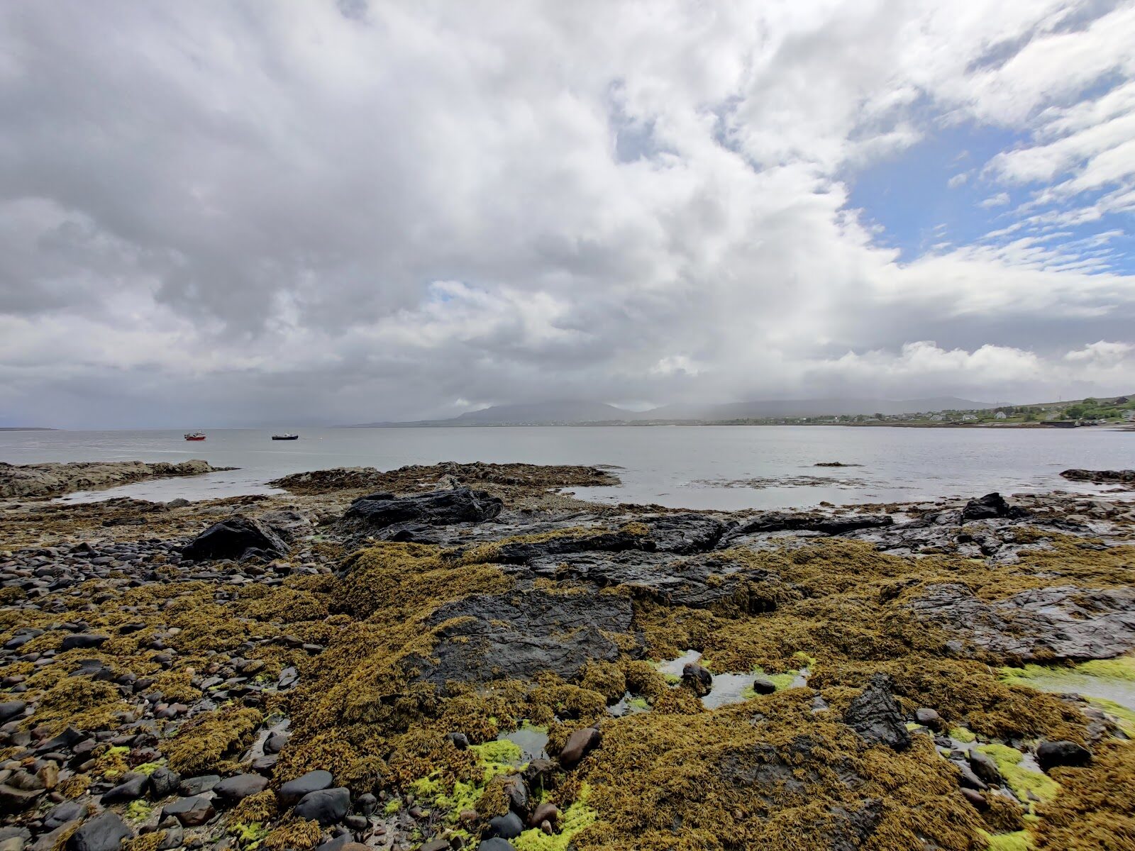
Irishman's Point – A Shore Walk from the Middle of Broadford
About 2.2 miles on foot.

Irishman's Point is the low headland on the north side of Broadford Bay, named for a paddle steamer that ran aground in fog in 1862.
A shore path leads out to it from the middle of the village, past the pier and the old Corry estate. It's flat, about 3.5 km there and back, and takes an hour.
- Time
- About an hour: 3.5 km there and back along the shore, with almost no climbing. A short, flat walk.
- The path
- Level and without steps as far as the pier, on a stony path; a rough gravel road and then grass beyond it.
- Where to start
- The village car park beside the Co-op in the middle of Broadford: free.
- When to go
- All year in daylight.
- Dogs
- On a lead: cattle may be grazing on the point.
- Children
- Keep children close beyond Corry Lodge, where the edge of the path has fallen away.
- Toilets
- Public toilets across the road from the car park.
- Before you set out
- The pier is a working one: watch for traffic. Beyond Corry Lodge the edge of the path has fallen into the sea in places and is fenced.
The walk
Park in the village car park beside the Co-op, in the middle of Broadford. It's free, and there are public toilets across the road. The walk starts through the small garden on the side of the car park away from the shop, where benches look over the bay. It keeps to the shore the whole way. There's a stony path as far as the pier, which is a working one, then a rougher gravel road through the old Corry Lodge estate, and last a grassy path over the point. Walkhighlands gives it as 3.5 km there and back with almost no climbing, about an hour.
The first part, to the pier, is level and has no steps. Beyond the lodge the edge of the path has fallen into the sea in places and is fenced, so keep children close there. The path also passes people's houses, so keep to it. The point is Rubh' an Eireannaich in Gaelic. In 1862 the paddle steamer Irishman, on her way from Liverpool to Portree to load sheep, ran aground in fog on a skerry, or sea rock, north of Scalpay. Nobody was lost, and the crew rowed ashore here.
From the end the view is over the bay to the Red Cuillin, with Pabay and Scalpay out in the Inner Sound, and seals and shore birds are often about. Cattle may be grazing on the point, so keep dogs on a lead. Broadford's shops and cafés are a few minutes from the car park. Several keep short hours or close in winter, so check before counting on lunch.
If it rains
A short, low walk that can be done between showers. The stones of the shore path are slippery when wet and the grass on the point holds water.
Before you go
Book accommodation nearby
If you are staying over: here are ours nearest where the day starts and ends.
For further reading, before you go.
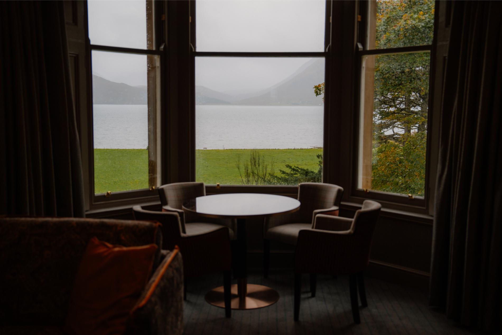
Photograph by Felix P. via Google