
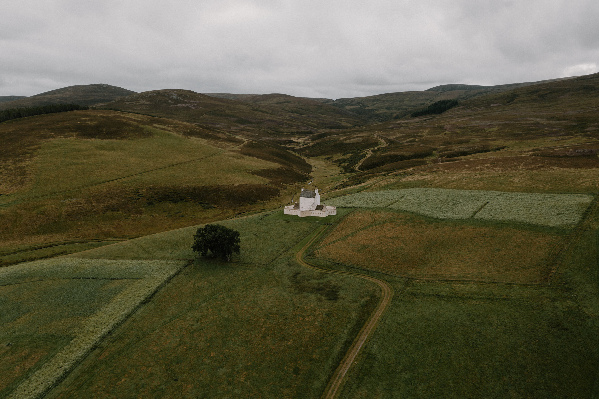
Corgarff – The Soldiers' Road and the Star-Shaped Fort
About 7.2 miles on foot.
At the head of Strathdon, where the Lecht road climbs out of the glen, a white tower inside a star-shaped wall stands alone above the young River Don.
Corgarff Castle was a Redcoat garrison after Culloden, and the military road its soldiers used still runs east from it as a gravel track over the moor. Walk the old road out and back, then climb up to the castle: a quiet half day in big, empty country.
- Time
- Around three and a half hours there and back: about 11 km from the castle's car park, 4.5 km of it the old military road, a gravel track over open moor. A walk.
- The path
- A gravel track over open moor, about 1 km from the car park by the castle road and the edge of the A939; boots.
- Where to start
- Corgarff Castle's car park, a level tarmac one off the A939 at Cock Bridge, used from April to September when the castle is open.
- Set off
- By 10am, to be back for the castle before its last entry at 4pm.
- When to go
- From April to September, when the castle and its car park are open: Friday to Sunday in April, Wednesday to Sunday from May to September.
- Dogs
- On a short lead or close at heel, above all from April to August near ground-nesting birds or livestock; never into a field with young animals in lambing season (the national park's ask).
- Children
- Fine for children who can walk a few miles; turn back whenever you like.
- Toilets
- None at the castle or on the walk: the nearest is at the Spar in Bellabeg, Strathdon, 15 minutes back down the road.
- Before you set out
- The way onto the old road from the car park is about 1 km, partly along the edge of the A939: mind the traffic. No shelter on the moor.
The walk
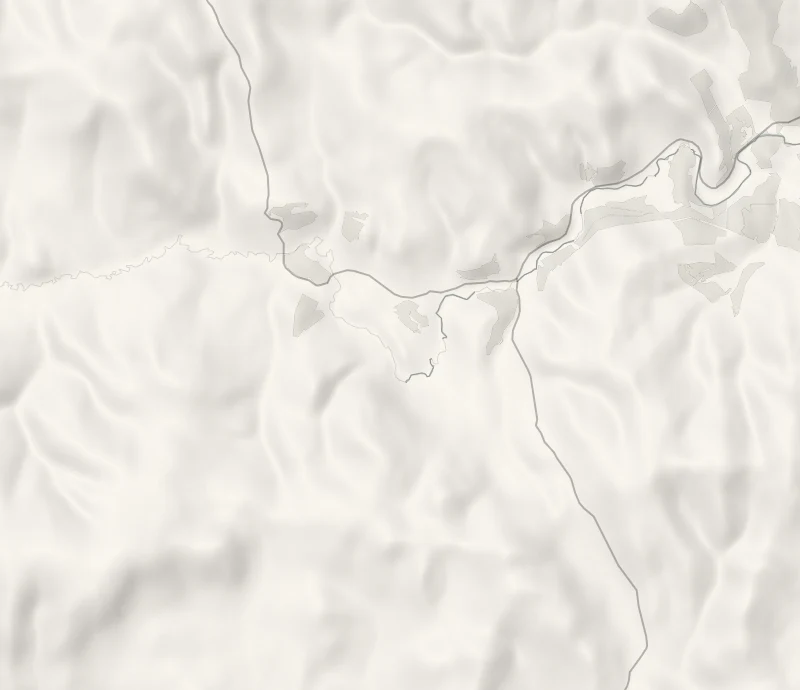
Park in the castle's car park, a level tarmac one off the A939 at Cock Bridge. The old military road was built between 1748 and 1757 under Major William Caulfeild, part of a road of 100 miles from Coupar Angus to Fort George, and this stretch is one of the few the modern A939 does not follow. Today it is a gravel track running east along the south side of the Don and over the Burn of Tornahaish, about 4.5 km to where it meets the A939 again, with two old bridges still standing on it.
ScotWays keeps it as a heritage path. The way onto it from the car park is about 1 km, partly along the edge of the A939, so mind the traffic. Walk out as far as you like and back the same way: all the way and back is about 11 km, around three and a half hours.
It is open moor with no shelter, so wear boots and bring a warm layer.
If it rains
The castle is the only roof, and it shuts for lunch: on a wet day see the castle and leave the open moor for another time.
Afterwards
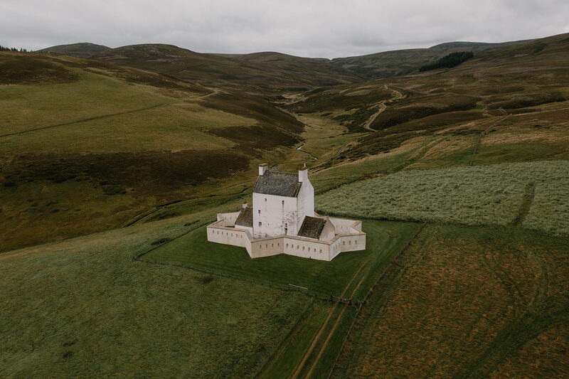
Corgarff Castle
An attraction
Corgarff Castle stands above the car park, 350 metres up a loose gravel path at about 1 in 5 and through a narrow kissing gate. It was built as a hunting lodge in the mid-1500s, held by Jacobites in 1715 and 1745, and made a government garrison in 1748, when the star-shaped wall with its musket slits went round it. Historic Environment Scotland opens it Friday to Sunday in April and Wednesday to Sunday from May to September, 10am to 4.30pm. It shuts for lunch from 12.30 to 1.30pm, the last entry is at 4pm, and from October to March it is shut. Tickets are £7.50 for adults online or £8.50 at the door at the time of writing. Inside, stone and timber stairs climb to every floor, so it isn't step-free; there are no toilets, and only assistance dogs may come in.
Before you go
Book accommodation nearby
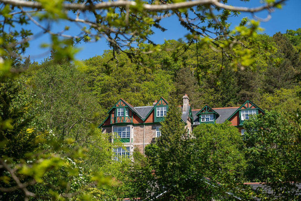
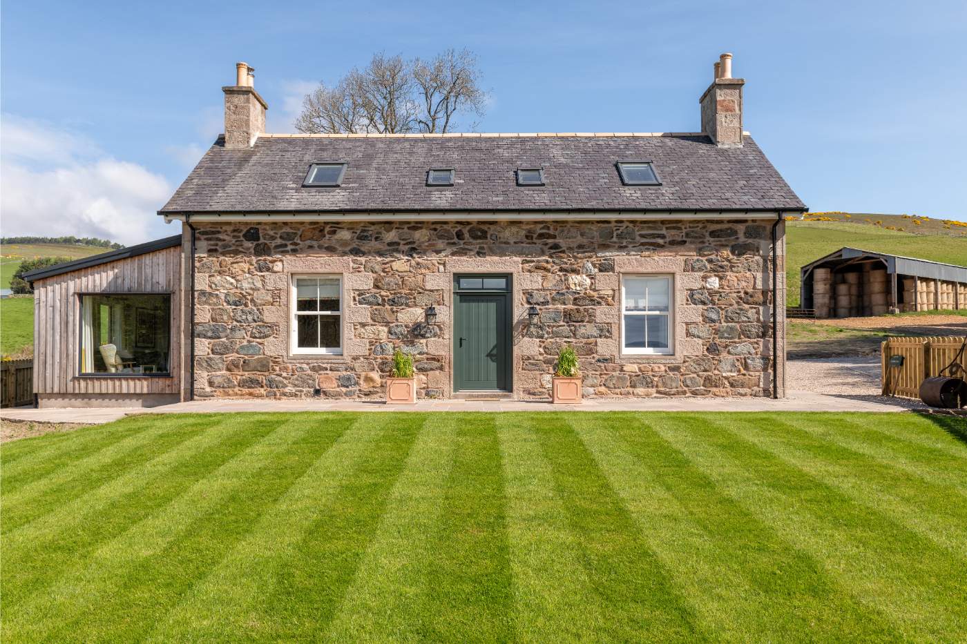
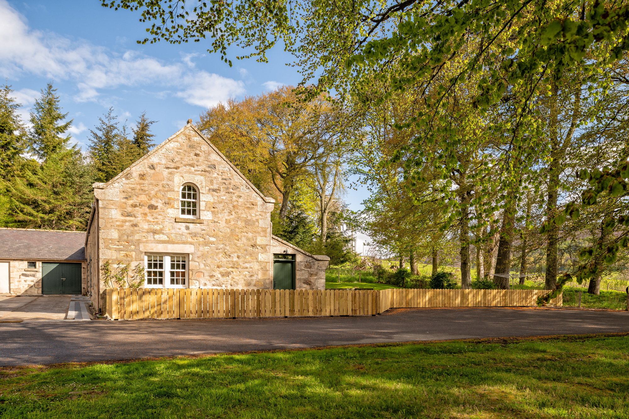
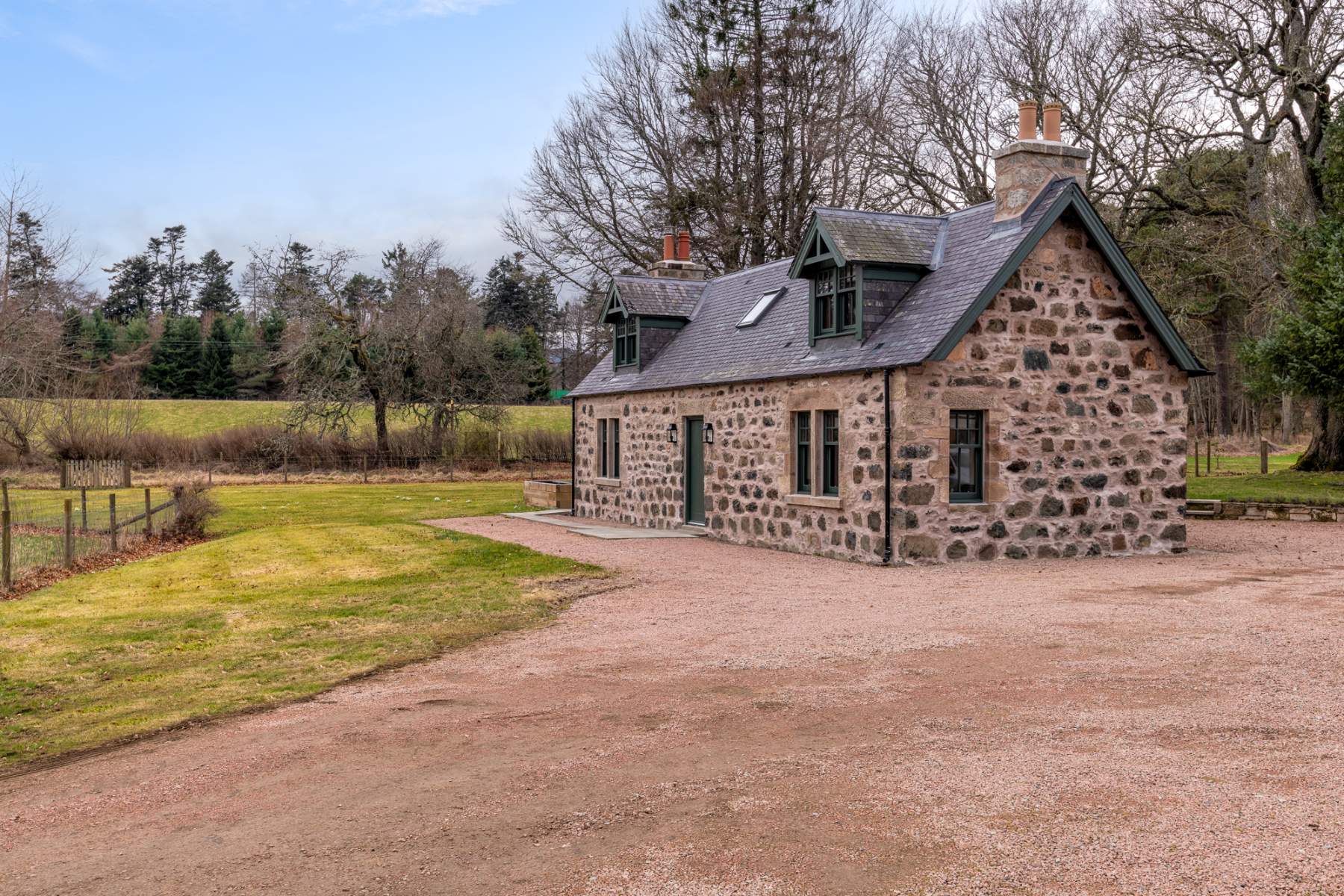
If you are staying over: here are ours nearest where the day starts and ends.
For further reading, before you go.