
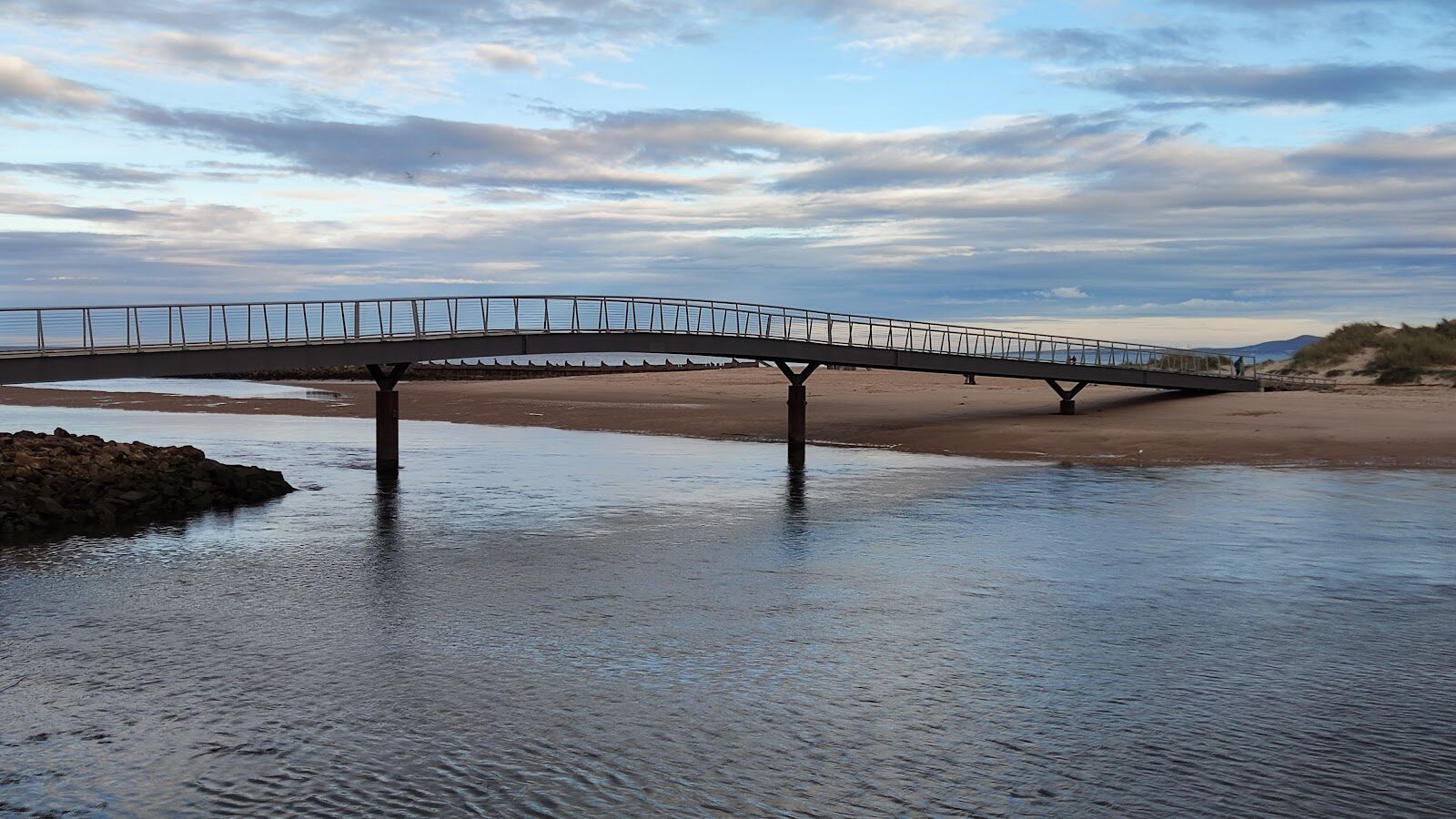
East Beach – Over the Bridge to Lossiemouth's Dunes and Forest
About 5 miles on foot.
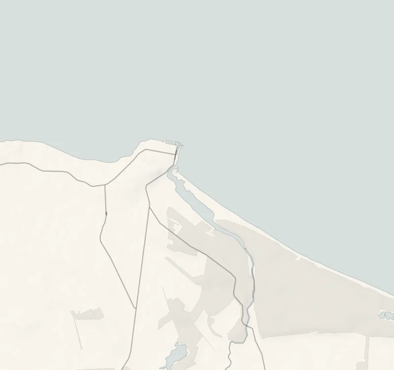
Lossiemouth has a beach on each side of the town, and the eastern one lies across the river, reached by a long footbridge from the esplanade.
This walk crosses it, heads along the sands with the dunes on one side and the Moray Firth on the other, and comes back through the pines of Lossie Forest and the salt marsh of the estuary. It's 8 km, mostly level, and takes about three hours.
- Time
- About three hours: an informal circular trail of 8 km (5 miles), mostly level, on sand, loose shingle, forest tracks and salt marsh.
- The path
- Loose sand and shingle, a short scramble over a steep shingle bank about two metres high, forest tracks and a damp salt marsh. The bridge itself is wide and gently sloped.
- Where to start
- On the street by the esplanade on Clifton Road, or in the Station Park car park a short walk away. Free.
- When to go
- All year in daylight, on a falling tide: at the highest spring tides the beach and the riverside can be impassable. From November to January set off by 11.30am.
- Dogs
- Under close control near the birds on the estuary.
- Children
- A long walk on soft ground with a shingle scramble and a tide to watch: one for older children.
- Toilets
- Public toilets on Seatown Road and on Pitgaveny Street, both a short walk from the bridge. None on the walk.
- Before you set out
- At the highest spring tides the beach and the riverside may be impassable: check a tide table. Further east along the shore a military firing range flies red flags when it is in use.
The walk
The East Beach bridge leaves the esplanade on Clifton Road in Lossiemouth, opposite Miele's ice cream shop, and IV31 6DJ is the postcode. Parking is free on the street and in the Station Park car park, a short walk away, and there are public toilets on Seatown Road. The old footbridge was closed as unsafe in July 2019, and the beach was cut off from the town until the new one was built in 2022. It's 250 feet long and ten feet wide, and it sets you down on the dunes. Moray Council gives the walk as 8 km, or five miles, and allows three hours.
It's an informal trail, signed only at key points. It heads east along the beach, where dolphins and now and then a whale are seen out in the firth, crosses the shingle into the pines of Lossie Forest and comes back by sheltered forest tracks to the River Lossie. The little estuary is a great place to watch big flocks of ducks and waders, and the last stretch is over salt marsh and dunes to the bridge. Most of it is level, but there's loose sand and shingle underfoot, one short scramble over a steep shingle bank about two metres high, and the marsh can be wet, so wear sturdy boots. At the highest spring tides the beach and the riverside can be impassable, so check a tide table and go on a falling tide.
RAF Lossiemouth is close by, so expect jets overhead. If you carry on along the shore towards Kingston instead, red flags mark a military firing range when it's in use, and you mustn't pass them. From November to January, set off by 11.30am.
If it rains
There's no shelter on the beach and the marsh only gets wetter, so keep this for a dry day. The forest tracks on the way back are out of the wind.
Before you go
Book accommodation nearby
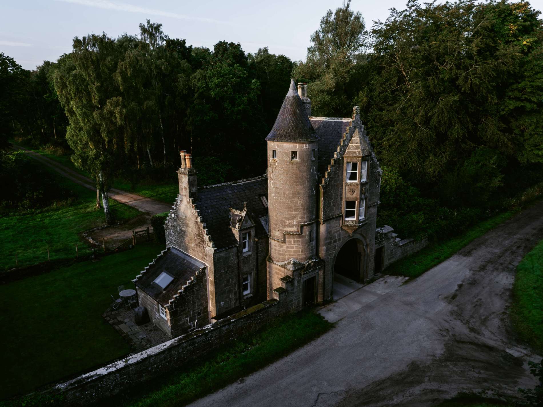
If you are staying over: here are ours nearest where the day starts and ends.

-54-large-1774881242.jpg)
For further reading, before you go.
Photograph by John McKenzie via Google