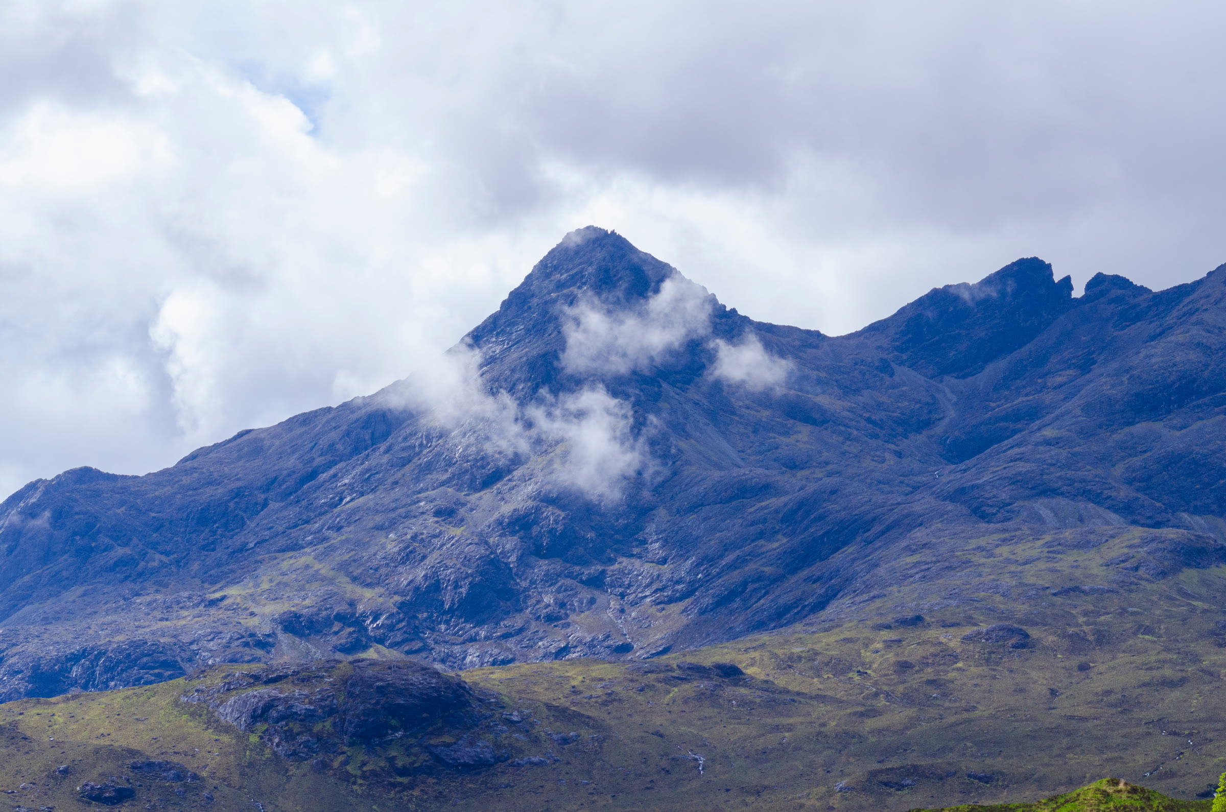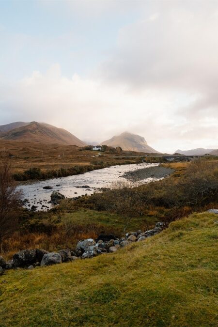
Sgùrr nan Gillean with cloud about its top, and Am Basteir and the Basteir Tooth along the ridge to its right.
Skye and Mull

Sgurr nan Gillean

A Munro of 966 metres, number 188 of the 282.

The hill

Sgurr nan Gillean is one of the Black Cuillin peaks on the Isle of Skye.

The Scottish Mountaineering Club's guide calls it probably the most familiar peak of the Cuillin, its pointed summit a classic first sight of the range from the A87 beside Loch Sligachan.

Am Basteir is its close neighbour, about 600 metres to the west, and Bruach na Frithe is about a kilometre away.

The same guide warns of rugged, precipitous ground higher up and awkward final moves onto an exposed summit. Skye Mountain Rescue Team notes that the visitor's book at the Sligachan Hotel records the island's first mountain rescue, on Sgurr nan Gillean, in 1870.

If you need help
Dial 999, ask for the police, then for mountain rescue.
This hill
Mountaineering Scotland, reprinting the Scottish Mountaineering Club's guidebook, says the south-east ridge is certainly not a route for tourists, or for anyone without a head for heights and some scrambling ability. Some may need the security of a rope for the final rocks, which are exposed Grade 2-3 scrambling. Featureless lower ground, rugged and precipitous terrain higher up and awkward final moves onto an exposed summit make this a fairly serious outing for even the most seasoned hillwalker. Many go up with a professional guide, or with a friend who has rock-climbing skills and a rope.
Rescue
Help can be hours away. Skye's rescue team asks nobody to count on a quick rescue or a helicopter: the weather often grounds it, and the team may take several hours to reach you on foot. Prepare for that before you set out.
The rock
The Cuillin is famous for gabbro, one of the roughest rocks there is, but much of it is basalt, which turns very slippery when damp, even with dew. Away from the well-trodden lines the rock is fragile and not to be trusted, and Skye's rescue team says this has caused many accidents.
Scrambling
Mountaineering Scotland counts scrambling as potentially the most dangerous of all mountaineering activities, and names the Black Cuillin among its ground. Scrambling grades assume a dry summer day: in wet, wind or cold the same rock becomes much harder and more dangerous.
A guide
For ground like this, Mountaineering Scotland points to a qualified Mountaineering and Climbing Instructor (a Winter Mountaineering and Climbing Instructor in winter) or a British Mountain Guide, and suggests asking how well they know these hills.
The range
The Cuillin is part of the MacLeod Estate.
What to carry
A map and compass, and the skill to use them. A helmet: the rescue team lists one for anywhere rock may fall.
Weather and winter
Skye's weather changes very quickly, and many people are caught out unprepared. In winter these hills ask for specific skills, knowledge and kit.
Underfoot
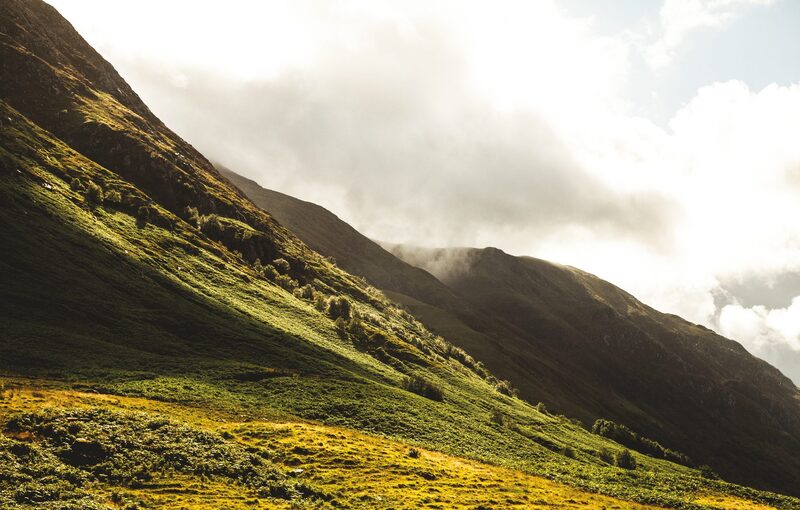
From about 150 metres up you are often on rock, scree and loose debris.
Parking
Park in the lay-by on the old road beside the Sligachan Hotel. It can get crowded: keep the gated entrance to the Sligachan Mountain Rescue Base on the old road clear.
Glen Brittle
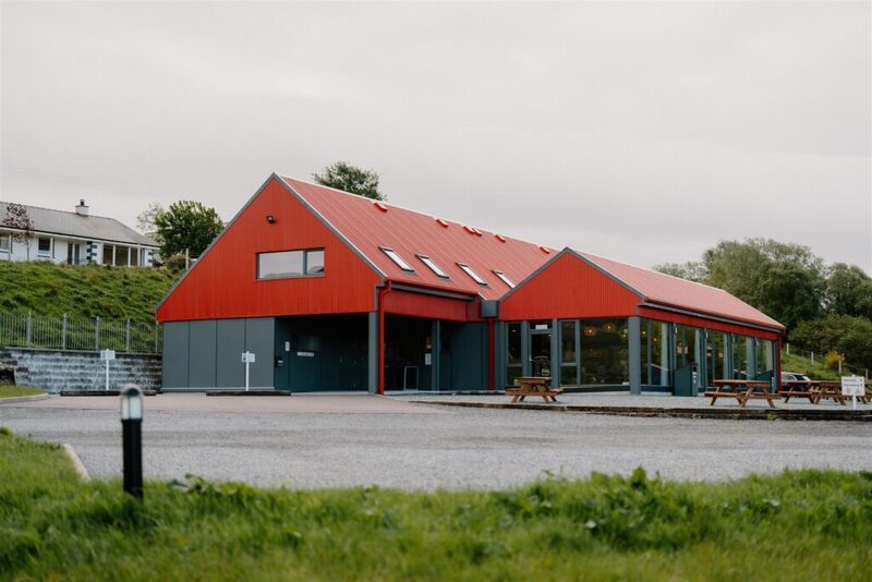
The MacLeod Estate runs the Glenbrittle campsite and café. There is no 4G signal there: the nearest is at the Fairy Pools and at Carbost. The Glen Brittle Memorial Hut is kept for members of Mountaineering Scotland and the BMC and their clubs.
On the hill today

A weather model's forecast for the height of the summit, not a report from the hill. Read the mountain forecast the evening before: Northwest Highlands forecast, Sgurr nan Gillean, Isle of Skye, Northwest Highlands mountain forecast, Scottish Avalanche Information Service.

October2026

MTWTFSS

Going another day?

Choose the day you mean to climb.Near or far: the light you will have, and what the summit is likely to be doing.

Mountains and hills can be dangerous places and should always be taken seriously.Skye Mountain Rescue Team, the volunteers who answer calls on Skye, mainly in the Cuillin and on the Trotternish Ridge
Before you go

Carry

  • A paper map and a compass, and the skill to use them
  • Waterproofs, warm layers, hat and gloves
  • Food and drink
  • A head torch, a whistle and a first aid kit
  • A survival bag
  • Boots with a good grip

Under snow and ice this is a different day, with short light and the risk of avalanche. It needs an ice axe, crampons, winter boots and the skill to use them.

If something goes wrong

  • Dial 999, ask for the police, then mountain rescue
  • Give a six-figure grid reference: the summit is NG 471 252
  • Say how many are hurt, how many are with you, and your number
  • Register to text 999 before the day: text the word register to 999

The summit is optional. Turning back is the right decision whenever the cloud, the wind or the light say so.

How to call for help in the hills · Safety and skills for the hills · ThinkWINTER

From our readers

Nobody has written from Sgurr nan Gillean yet. If you were up, yours would be the first.

Tell the next person

Were you up? Three words is enough.A free account, a word for the weather and a line if you like.

Read more elsewhere

For the route itself, take the map and read these.

Next along: Am Basteir, Bruach na Frithe, Sgurr a' Mhadaidh, Sgurr a' Ghreadaidh. Checked on 10 October 2026. The facts on this page are Skye Mountain Rescue Team's, Mountaineering Scotland's, the MacLeod Estate's and the Outdoor Access Trust for Scotland's, with the Scottish Mountaineering Club's guidebook; the forecasts are the Mountain Weather Information Service's, the Met Office's and the Scottish Avalanche Information Service's. Height and position from The Database of British and Irish Hills, v18.3, adapted, CC BY 4.0. This page is not a route description and does not replace a map.