Monachyle Mhor
Stay: A farmhouse hotel with a restaurant above Loch Voil, on the glen road to…
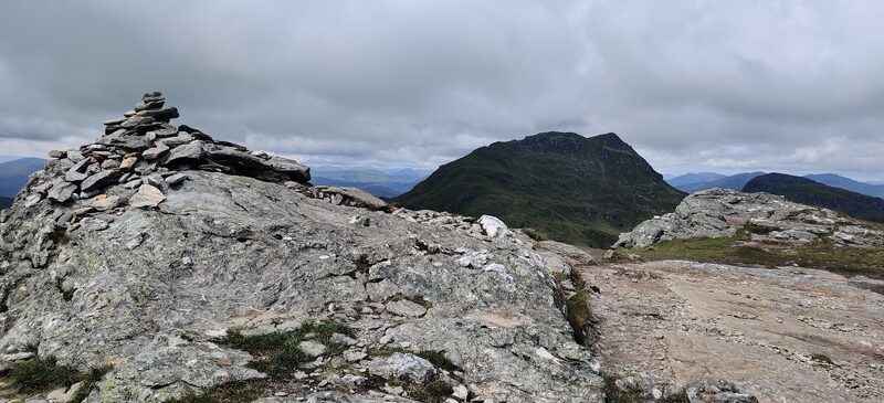
A Munro of 946 metres, number 221 of the 282.
Beinn Tulaichean, 946 metres, is one of the Munros round Inverlochlarig, where the Balquhidder Glen road ends, in the Loch Lomond and The Trossachs National Park.
From Crianlarich the way to it goes over Cruach Ardrain first. Inverlochlarig Farm is on the site of the house where Rob Roy died in 1734.
North-west wind to 12 mph, gusting 26
Rain, about 2 mm
Light from 7.51am to 6.16pm, ten hours
A weather model's forecast for the height of the summit, not a report from the hill. Read the mountain forecast the evening before: West Highlands forecast, Southeastern Highlands forecast, Beinn Tulaichean, Stirling, Southwest Highlands mountain forecast.
Choose the day you mean to climb.Near or far: the light you will have, and what the summit is likely to be doing.
Photographs by Kamil Tyszecki, Cpt Choggs and Sophie Sellers, via Google
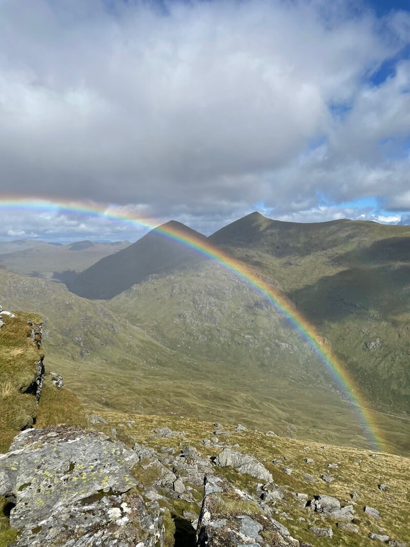
It makes sense to walk these two Munros together since to reach the 946m summit of Tulaichean, starting from Crianlarich, you will walk over the 1046m peak of Cruach Ardrain.The Loch Lomond and The Trossachs National Park Authority, which publishes the only account of the hill
Under snow and ice this is a different day, with short light and the risk of avalanche. It needs an ice axe, crampons, winter boots and the skill to use them.
The summit is optional. Turning back is the right decision whenever the cloud, the wind or the light say so.
How to call for help in the hills · Safety and skills for the hills · ThinkWINTER
Nobody has written from Beinn Tulaichean yet. If you were up, yours would be the first.
Were you up? Three words is enough.A free account, a word for the weather and a line if you like.
For the route itself, take the map and read these.
Next along: Cruach Ardrain, Beinn a' Chroin, Stob Binnein, An Caisteal. Checked on 10 October 2026. The facts on this page are the Loch Lomond and The Trossachs National Park Authority's and Inverlochlarig Farm's; the forecasts are the Mountain Weather Information Service's and the Met Office's. Height and position from The Database of British and Irish Hills, v18.3, adapted, CC BY 4.0. This page is not a route description and does not replace a map.