
Lybster
A planned fishing village of 1802 on the east coast of Caithness, with an extraordinarily wide main street and a steep road down to a working harbour.
On the A99 Lybster is little more than a crossroads.
Turn off the main road and the village opens out. The main street is astonishingly wide, far wider than the rows of solid stone houses on either side seem to need, a legacy of the village's planned beginnings.
Lybster was laid out in 1802 by the local laird, General Patrick Sinclair, whose sons fought at Waterloo; one stretch of Main Street is still called Quatre Bras. His son Temple Sinclair, a keen Whig, named other streets after the politicians of the day.
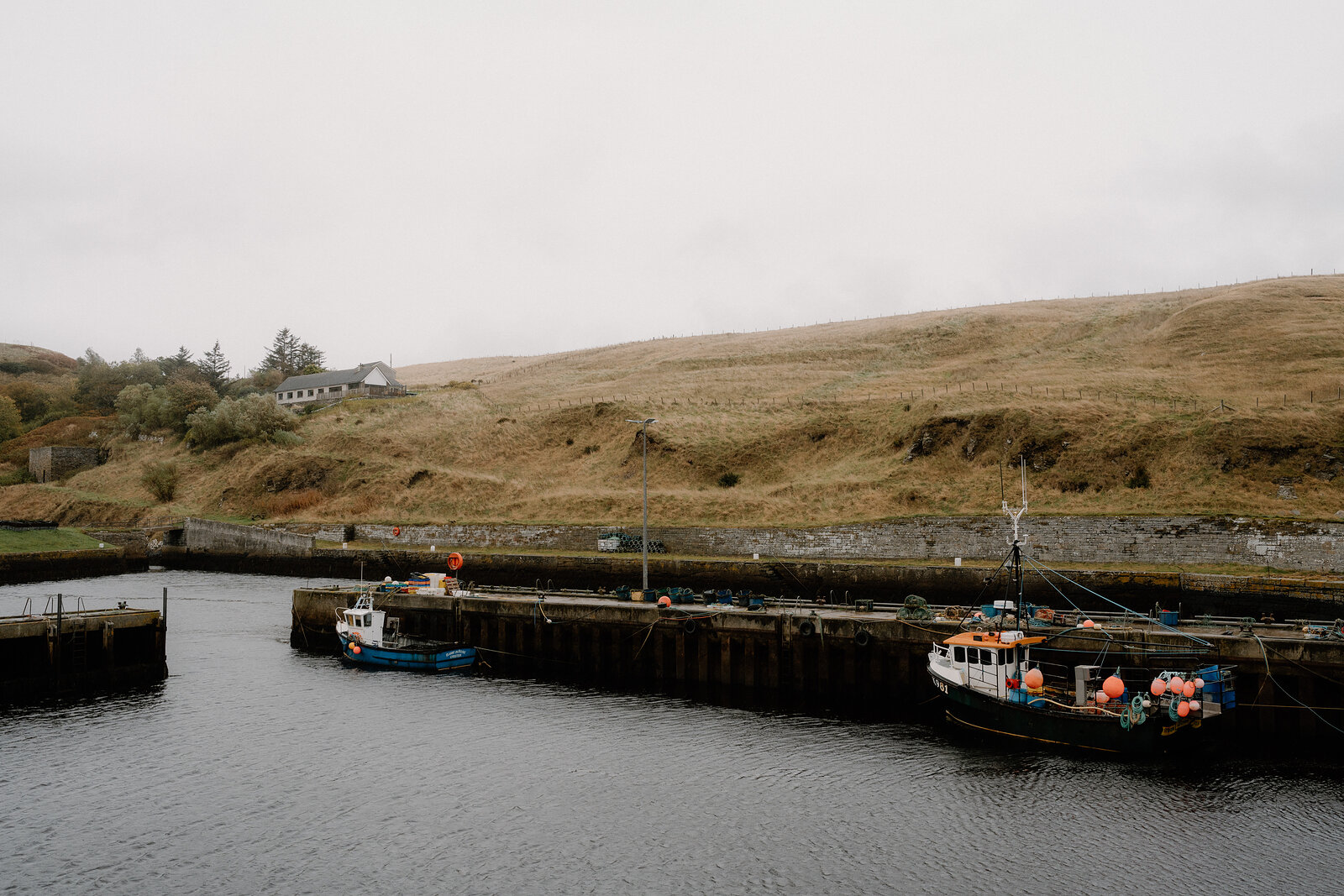
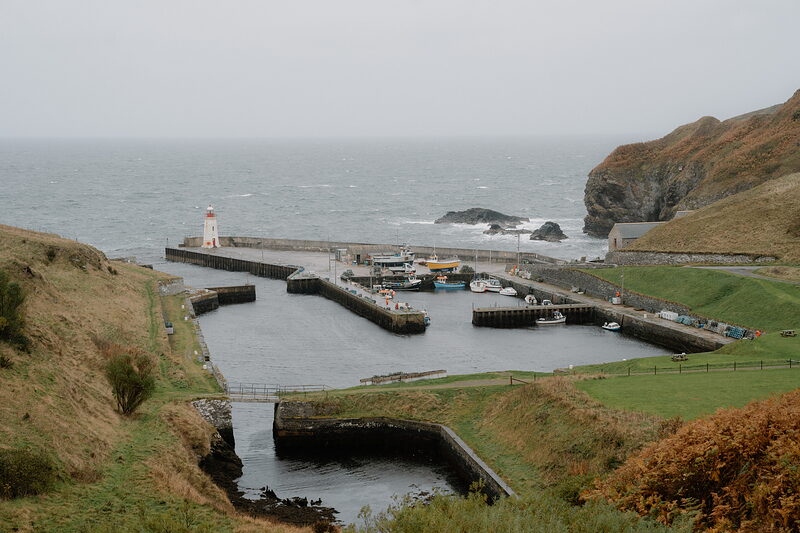
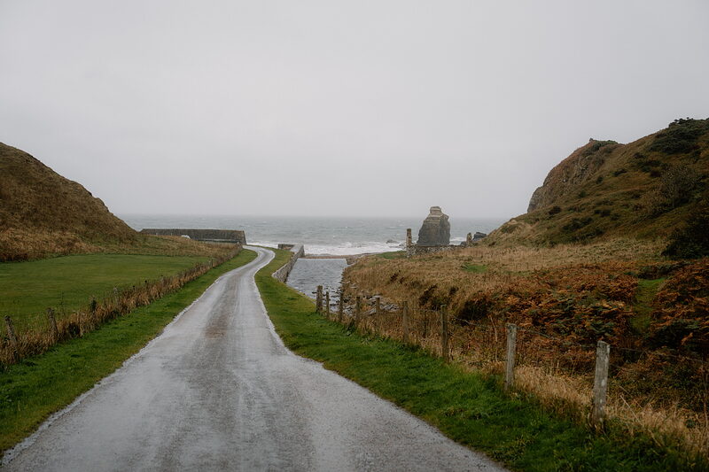
The reason for it all lies at the bottom of a steep lane: the harbour. In the herring boom it was one of the busiest in Scotland, with hundreds of boats working from it in the 1850s. Today small boats land lobsters and crabs, creels are stacked on the quay, and a little lighthouse stands at the end of the pier, between grassy headlands.
Free to wander at any time.
Turn off the A99 and drive through the village to the steep road down to the harbour.
- Where
- On the A99, south of Wick.
- Founded
- 1802.
- Harbour
- Down a steep lane.
On the A99 on the east coast of Caithness, about thirteen miles south of Wick; the village lies south of the main road.
Scotland, in print.
Every photograph commissioned, every word written by somebody who went. Printed twice a year, made in Scotland.
For further reading, before you go.