
Scald Law – The High Ridge of the Pentlands from Flotterstone
About 7.6 miles on foot.
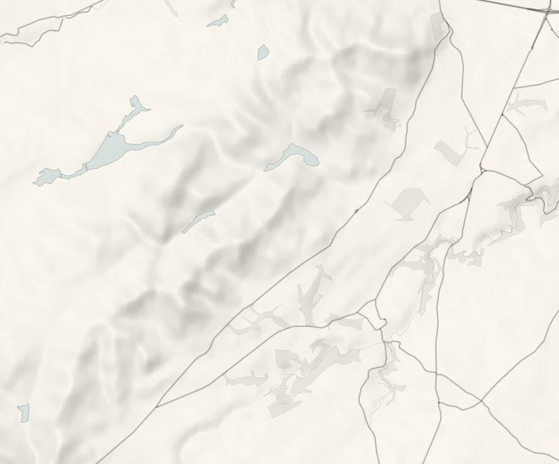
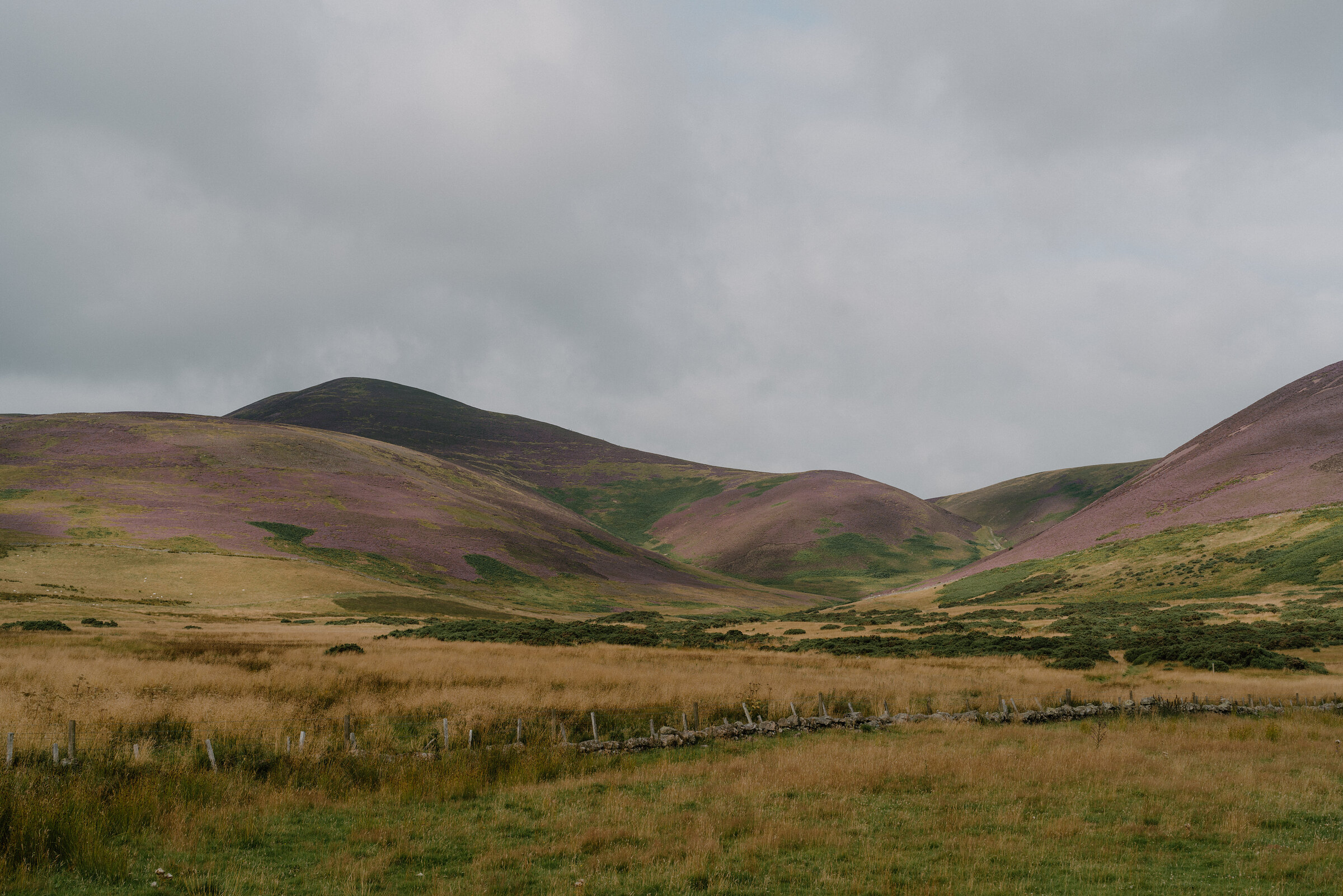
This is the big hill day in the Pentlands: a round from Flotterstone over Turnhouse Hill and Carnethy Hill to Scald Law, the highest of the range at 579 metres.
The ridge is green, steep-sided and open, with one top after another ahead of you and wide views from each. It's 12.25 km with 609 metres of climbing, a real hill walk that takes the best part of a day.
- Time
- Four and a half to five and a half hours: 12.25 km (7.6 miles) with 609 metres of climbing, over three tops.
- The path
- Grassy hill paths, steep in places and slippery when wet.
- Where to start
- Flotterstone car park, on the A702, EH26 0PP. A pay car park: the price is on the machine. It fills at weekends.
- When to go
- All year in daylight and settled weather. In snow, ice or low cloud it is a winter hill walk. From November to January set off by 9am.
- Dogs
- On a short lead or close at heel among sheep; follow any diversion at lambing time.
- Children
- A long hill day, for older children used to the hills.
- Before you set out
- No shelter on the ridge, and the weather changes quickly. In snow, ice or low cloud it is a winter hill walk.
The walk
Park at Flotterstone, on the A702 south of Edinburgh, where the Regional Park has its visitor information point and a café. EH26 0PP is the postcode. The car park has a pay machine, and the park says its car parks often run out of room, so come early at a weekend. Houstons' 101 and 102 buses stop at Flotterstone too, so check the times. The round takes three tops in a line: Turnhouse Hill, 506 metres, Carnethy Hill, 573 metres, and Scald Law, which at 579 metres is the highest of the Pentlands.
Between Carnethy and Scald Law the ridge drops to the pass of the Kirk Road, the old path that people from Bavelaw and the Logan Glen once walked over the hills to church in Penicuik. Walkhighlands gives the round as 12.25 km with 609 metres of climbing and allows four and a half to five and a half hours. It's a hill walk on grassy paths, steep in places, with no shelter anywhere on the ridge. Take boots, warm waterproofs, a map and a torch, and read the Mountain Weather Information System's forecast for the Southern Uplands before you go, because the weather changes quickly. In a strong wind the ridge is hard, cold going.
In snow, ice or low cloud it's winter hillwalking, for people with the kit and the skill for it. Sheep graze these hills, so keep dogs on a short lead or close at heel, and follow any diversion at lambing time. From November to January, set off by 9am.
If it rains
There's no shelter on the ridge and the grass is slippery when wet. In rain, wind or low cloud keep this for another day: the park's short Glencorse View walk starts from the same car park.
Before you go
Book accommodation nearby
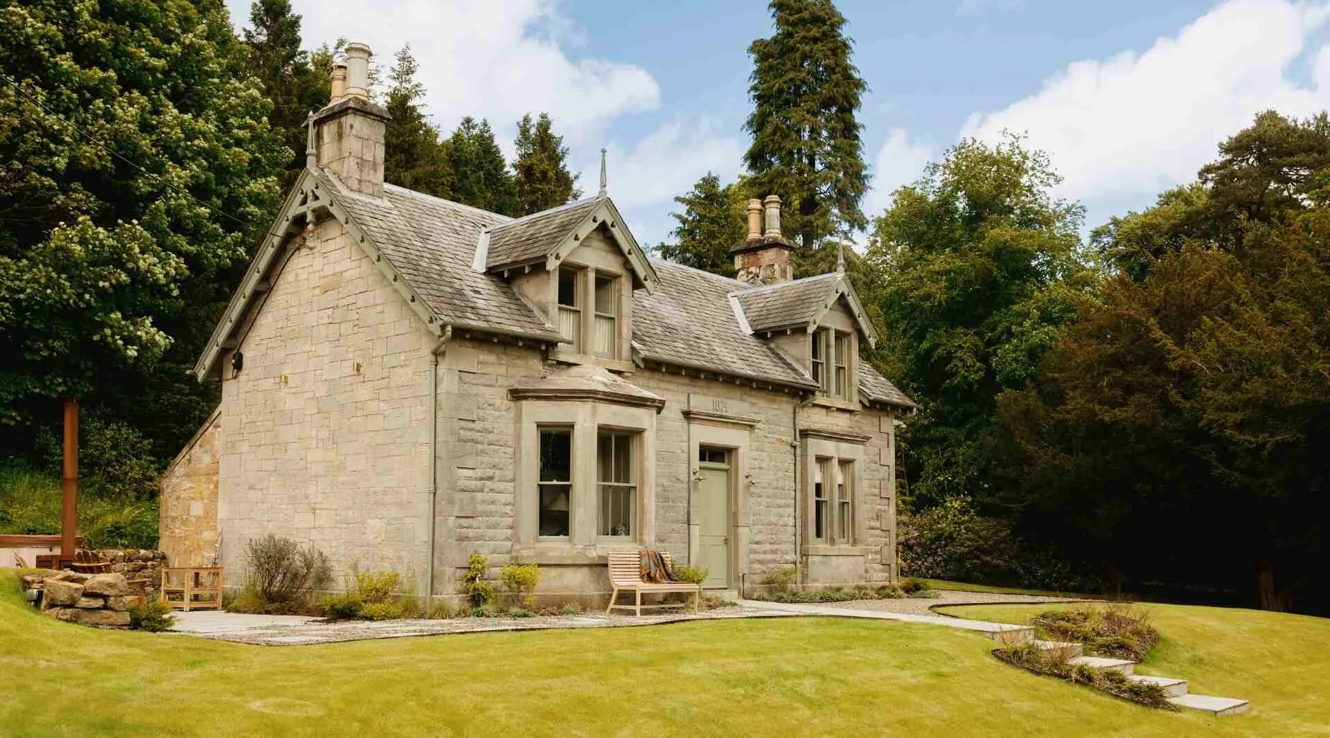
If you are staying over: here are ours nearest where the day starts and ends.
For further reading, before you go.