
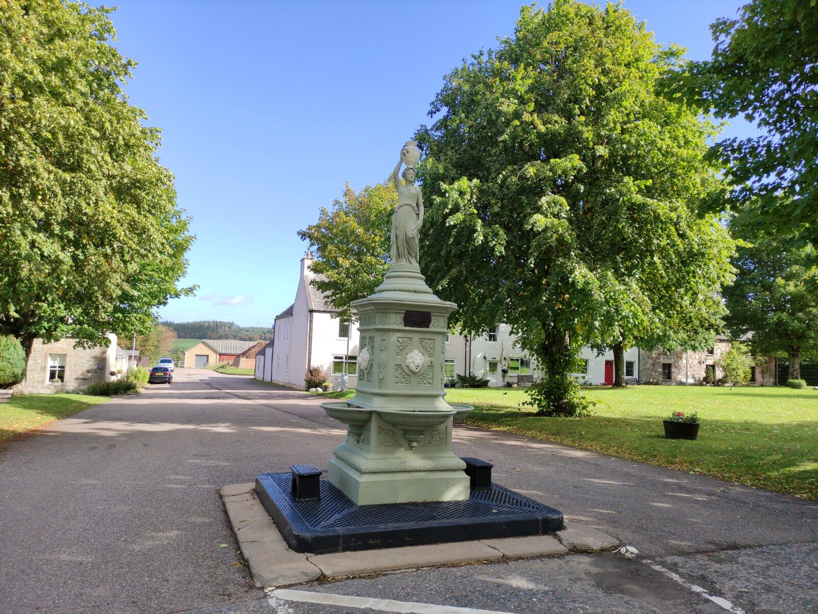
Tomintoul – Glen Avon and Queen Victoria's View
About 4.7 miles on foot.
Tomintoul sits 355 metres up, the highest village in the Highlands, with the River Avon running past below it.
The National Park's country walk is a round of lanes and farm tracks from the village into Glen Avon, through woods of native birch and juniper, with a short climb to the viewpoint that carries Queen Victoria's name. From there you look out over the glen and the river.
- Time
- About three hours: the National Park's Tomintoul country walk, a 7.5 km circuit from the village along Glen Avon, with steps up to Queen Victoria's viewpoint. A moderate walk.
- The path
- Minor roads and firm track, loose and uneven in places, with moderate slopes; steps up to the Queen's View.
- Where to start
- Free in the Square at Tomintoul, or in the public car park just off it on Tomnabat Lane.
- Set off
- From November to January, set off by noon to be back in daylight.
- When to go
- All year in daylight. From November to January set off by noon.
- Dogs
- On a lead near sheep and cattle.
- Children
- A long round for small legs, partly on minor roads open to traffic.
- Toilets
- Free public toilets on Tomnabat Lane, just off the Square.
- Before you set out
- The track is loose and uneven in places. There is no fuel in Tomintoul.
The walk
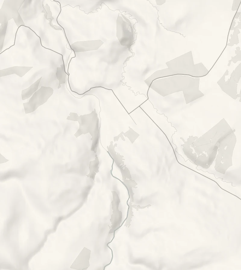
Park in the Square at Tomintoul, where parking is free, or in the public car park just off it on Tomnabat Lane, beside the free public toilets. The Cairngorms National Park gives its Tomintoul country walk as a circuit of 7.5 km and allows three hours. It leaves the south end of the village on minor roads and firm farm tracks and makes a loop along Glen Avon, where the River Avon comes down out of the Cairngorms. The people who live beside the river say its name as A'an.
The woods on the way are native birch and juniper, and the slopes are moderate. Steps climb to the Queen's View, the viewpoint named for Queen Victoria, with the glen and the river below it. The track is loose and uneven in places, so boots are best. There may be sheep and cattle beside the way, so keep dogs on a lead near them.
Tomintoul was laid out as a planned village by the 4th Duke of Gordon in the 1770s, which is why its main street is so wide and its lanes run on a grid. There is no fuel in the village, so fill the tank before you come. From November to January, set off by noon.
If it rains
The lanes and tracks are walkable in rain, but the viewpoint is the point of the walk and it goes in low cloud. The National Park's Tomintoul circular is the shorter choice from the village, 4 km and about an hour and a half.
Before you go
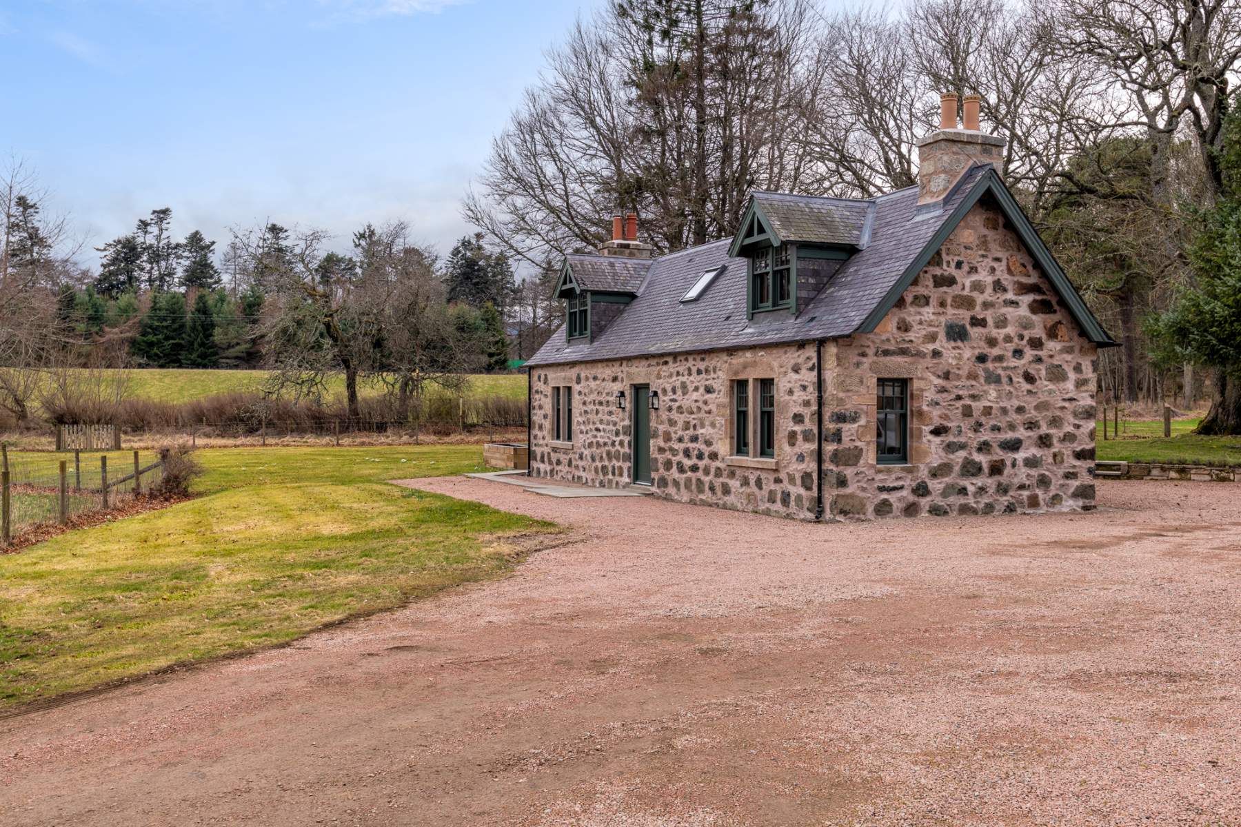
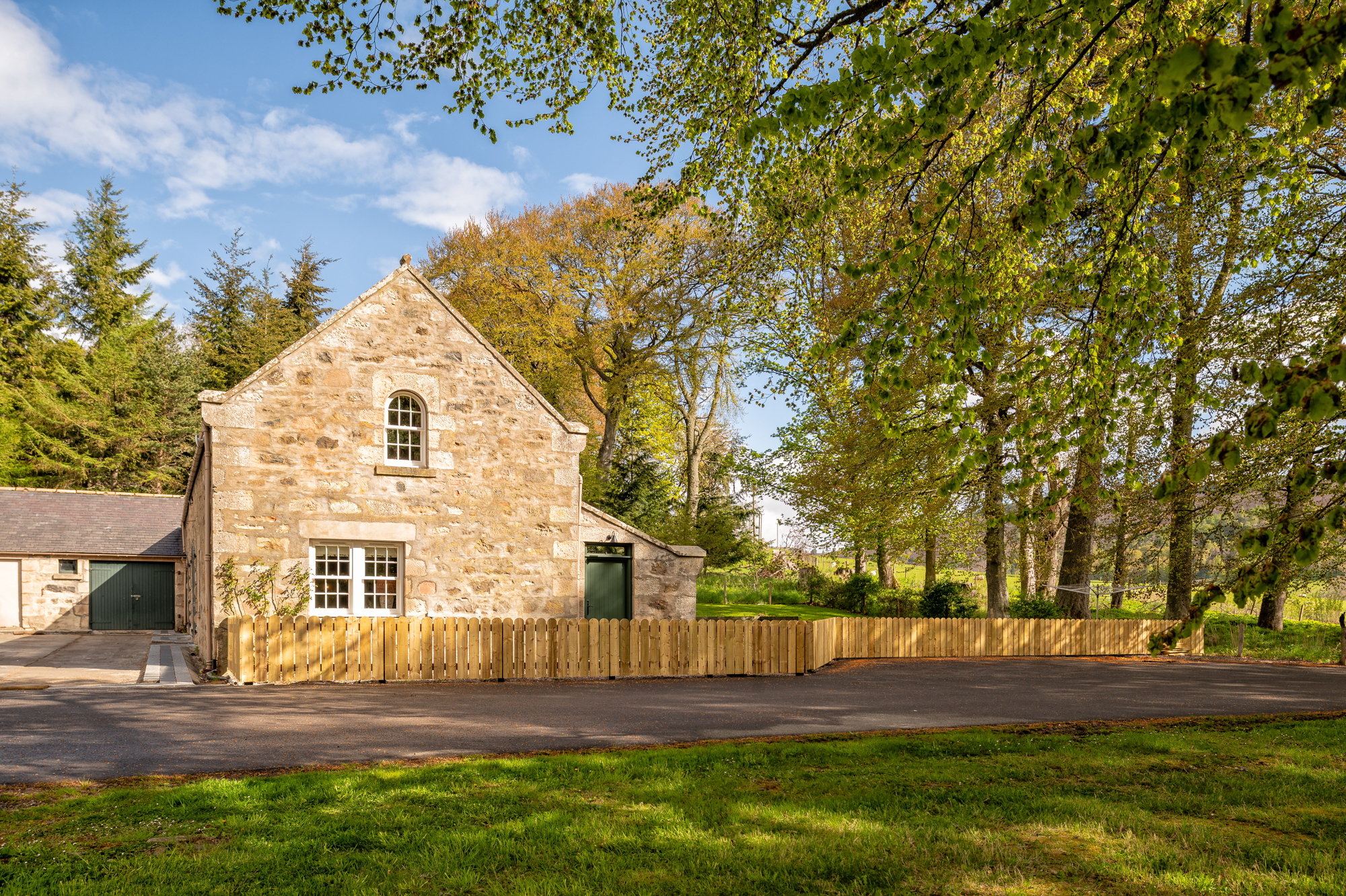
Book accommodation nearby
If you are staying over: here are ours nearest where the day starts and ends.
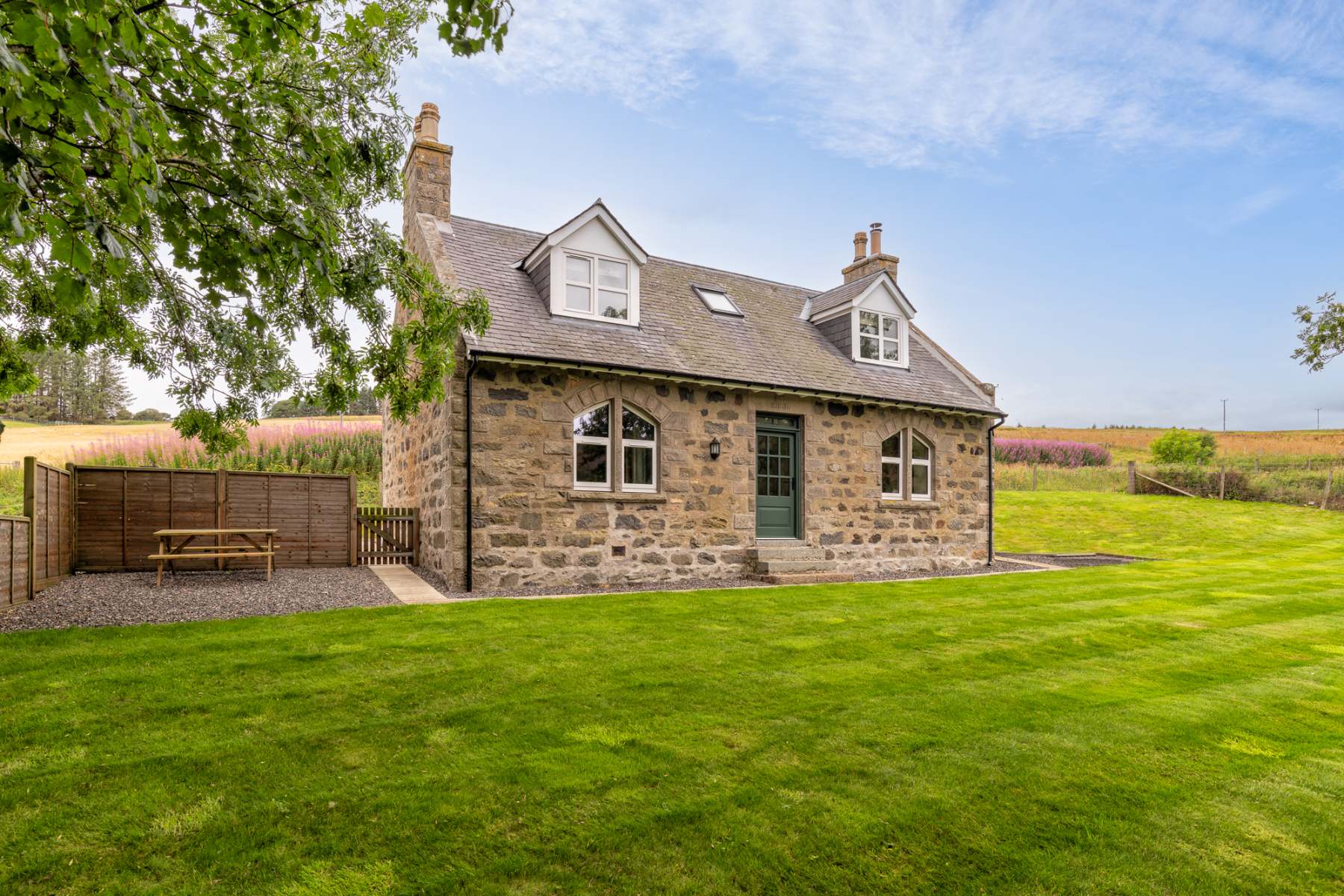
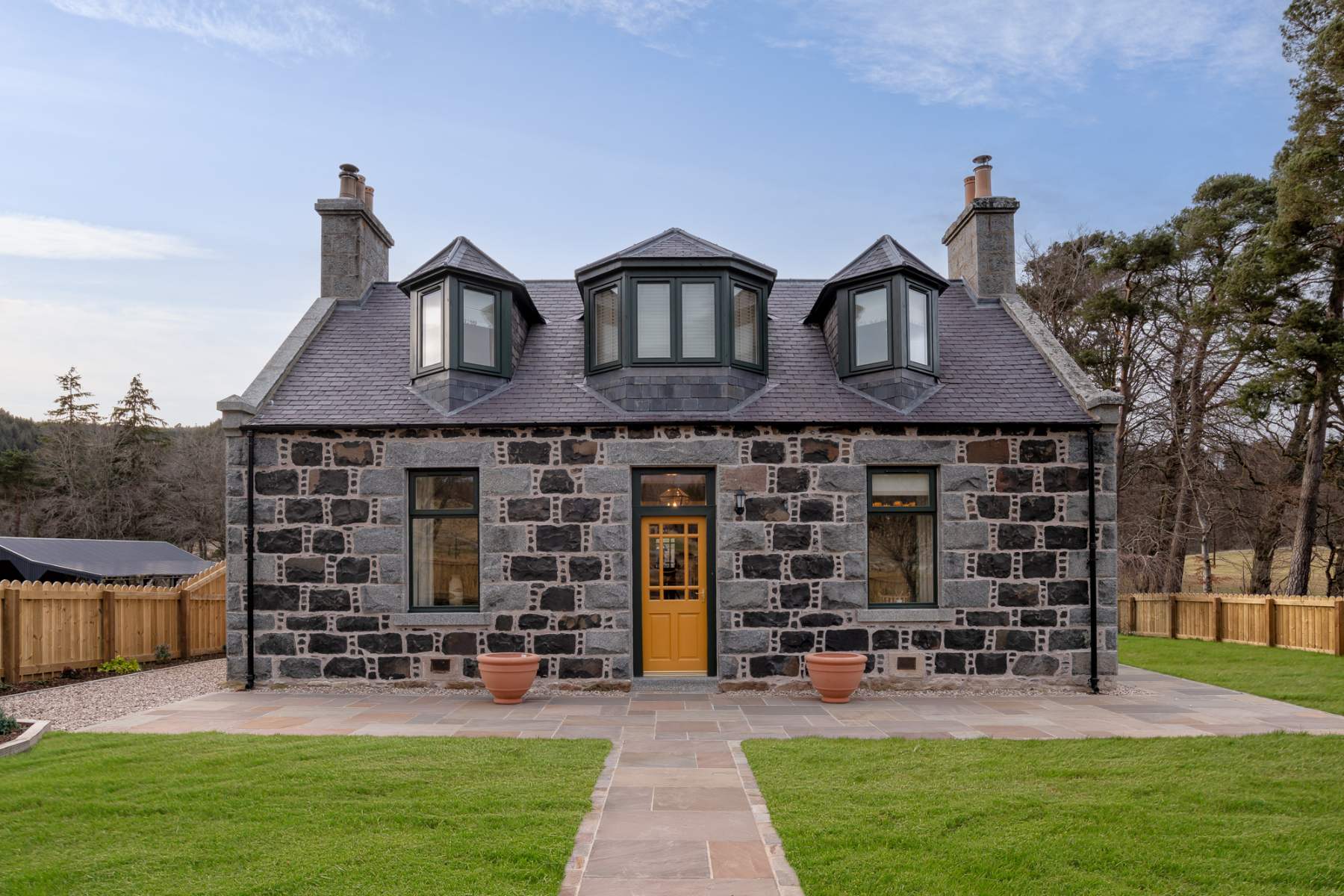
For further reading, before you go.
- Tomintoul country trail, Cairngorms National Parkcairngorms.co.uk↗
- Tomintoul trails and the paths leaflet, Cairngorms National Parkcairngorms.co.uk↗
- Outdoor access, shooting and livestock, the Glenlivet Estateglenlivetestate.co.uk↗
- The route in detail, Walkhighlandswalkhighlands.co.uk↗
- Walkers' recordings and reviews, AllTrailsalltrails.com↗
Photograph by Capper Pass via Google