
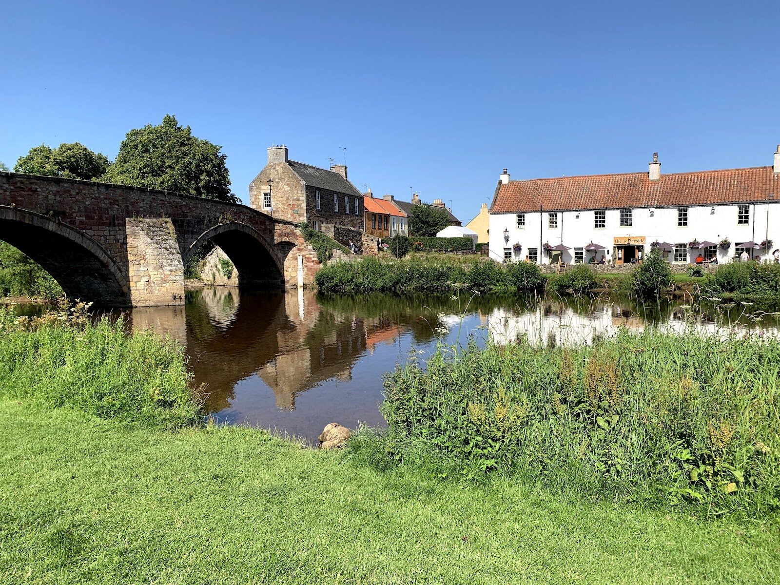
Haddington – Up the Tyne from the Nungate Bridge
2 miles · flat · there and back
dogs welcome
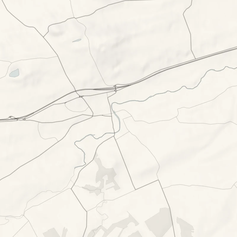
The River Tyne bends round the old county town of Haddington, and the path along its bank passes through much of the town's story: a siege, a reformer and a garden brought back to life.
Is it for me?
Tap who is coming, or the day you have, for the answer on this walk.
Before you go
Getting there
Haddington is reached by road or by bus; it has no railway station.
On the path
Allow about an hour: a little over a mile (1.7 km) each way along the River Tyne, about two miles there and back. Mostly level. Mostly level, on tarmac and gravel paths. For children, level and short. The river is beside the path all the way.
Good to know
All year, in daylight. Under close control. Clear up after your dog. Toilets none on the path. A public path all the way, marked on the council's leaflet as a right of way or core path.
The walk
The Riverside Walk follows the River Tyne upstream from the Nungate Bridge in Haddington to Long Cram: 1.7 km (a little over a mile) each way, and about an hour, back the same way or through the town. It is mostly level, on tarmac and gravel. The walk's own leaflet, East Lothian Council's Paths around Haddington, has the map.
Invading armies once came into the town over the Nungate Bridge, and there has been a bridge here since 1282 or earlier. Its three arches of red sandstone most likely went up soon after the siege of 1548, and masons' marks on some blocks hint that the builders reused stone from the ruins of St Mary's. As a girl, Jane Welsh Carlyle, a Haddington doctor's daughter who married the historian Thomas Carlyle, taught herself in secret to walk its parapet.
Upstream stands St Mary's, founded in 1380, more than a century in the building, and largely ruined in the siege. In 1561, at John Knox's urging, the town walled off the roofless choir and mended the nave for worship; the choir stayed open to the weather until 1973. Knox is thought to have been born across the river in Giffordgate, and was trained for the priesthood here. Inside, look for Jane Welsh Carlyle's memorial stone in the choir and the Maitland monument of 1675, all black marble and alabaster, in the Lauderdale Aisle.
Beside the churchyard lies St Mary's Pleasance, a walled garden remade in the 1970s as a Scottish garden of the 1600s, next to Haddington House of 1648, the oldest house in the town. Look for its laburnum alley, hornbeam walk and mount.
St Mary's welcomes visitors from 1.30pm to 4pm most days from May to September, and at Easter, but not through the winter. The Pleasance is free, and opens at 9am, closing at 5pm from April to September and at 3.30pm from October to March.
The Waterside Bistro, by the Nungate Bridge, has tables out front by the river. CAMRA's listing, last surveyed in January 2026, gives food from noon every day; check before you go.
If it rains
A shower is no trouble on this path. If the river is running high, come back through the town instead.
After the walk
Something to do with the rest of the day, nearest the end of the walk first.
With the rest of the day
 6 min by roadA shopBeech & BirchA small shop of Scandinavian and British gifts and homeware in the village of Gifford, run by its owner Helle.
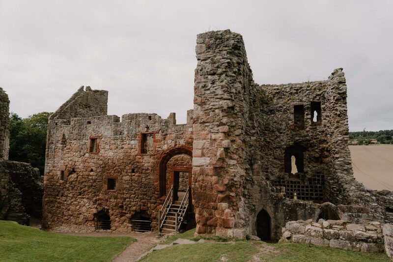 6 min by roadThings to doHailes CastleThe ruins of one of Scotland's oldest stone castles, in the valley of the River Tyne near East Linton, linked with the Hepburns and Mary, Queen of Scots.
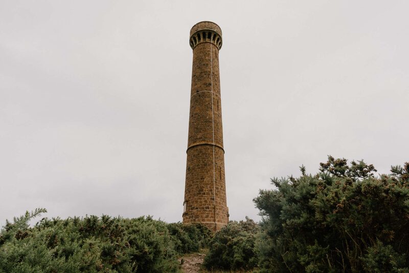 7 min by roadThings to doHopetoun MonumentA 29-metre tower on Byres Hill above Haddington, raised in the 1820s to the 4th Earl of Hopetoun, with 132 steps to a view over East Lothian.
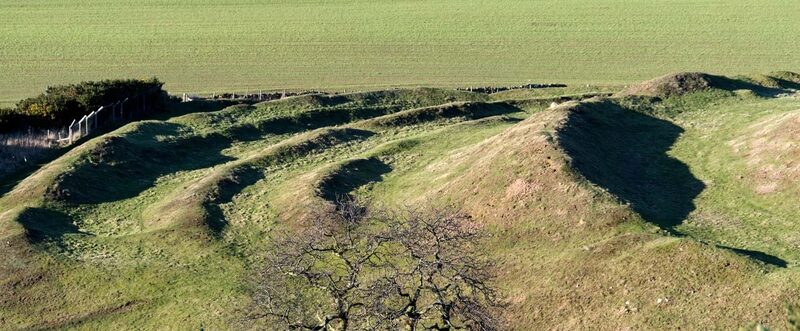 9 min by roadThings to doThe ChestersOne of the best-preserved Iron Age hill forts in Scotland, near Drem in East Lothian, ringed by grassy ramparts more than 2,000 years old.
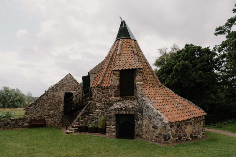 12 min by roadThings to doPreston MillA picturesque watermill with a Dutch-style conical roof on the River Tyne at East Linton, working until 1959, with a doocot and Outlander connections.
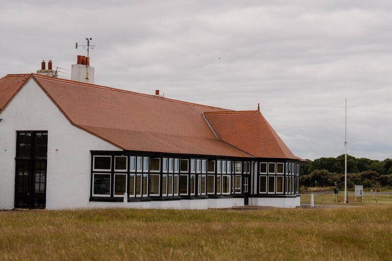 12 min by roadThings to doLuffness New Golf ClubAn Old Tom Morris links of 1894 between Aberlady and Gullane, with small, true greens and a view over Aberlady Bay from the short 16th.
Places to stay near the walk
Our places to stay nearest the start, by road.
An advert · Cockburnspath
Blue Cabin by the Sea
A blue timber cabin for four at the top of the beach at Cove Harbour, near Cockburnspath, reached through a tunnel cut in the rock in 1752.
Sleeps 4 · 27 minutes by road
See Blue Cabin by the Sea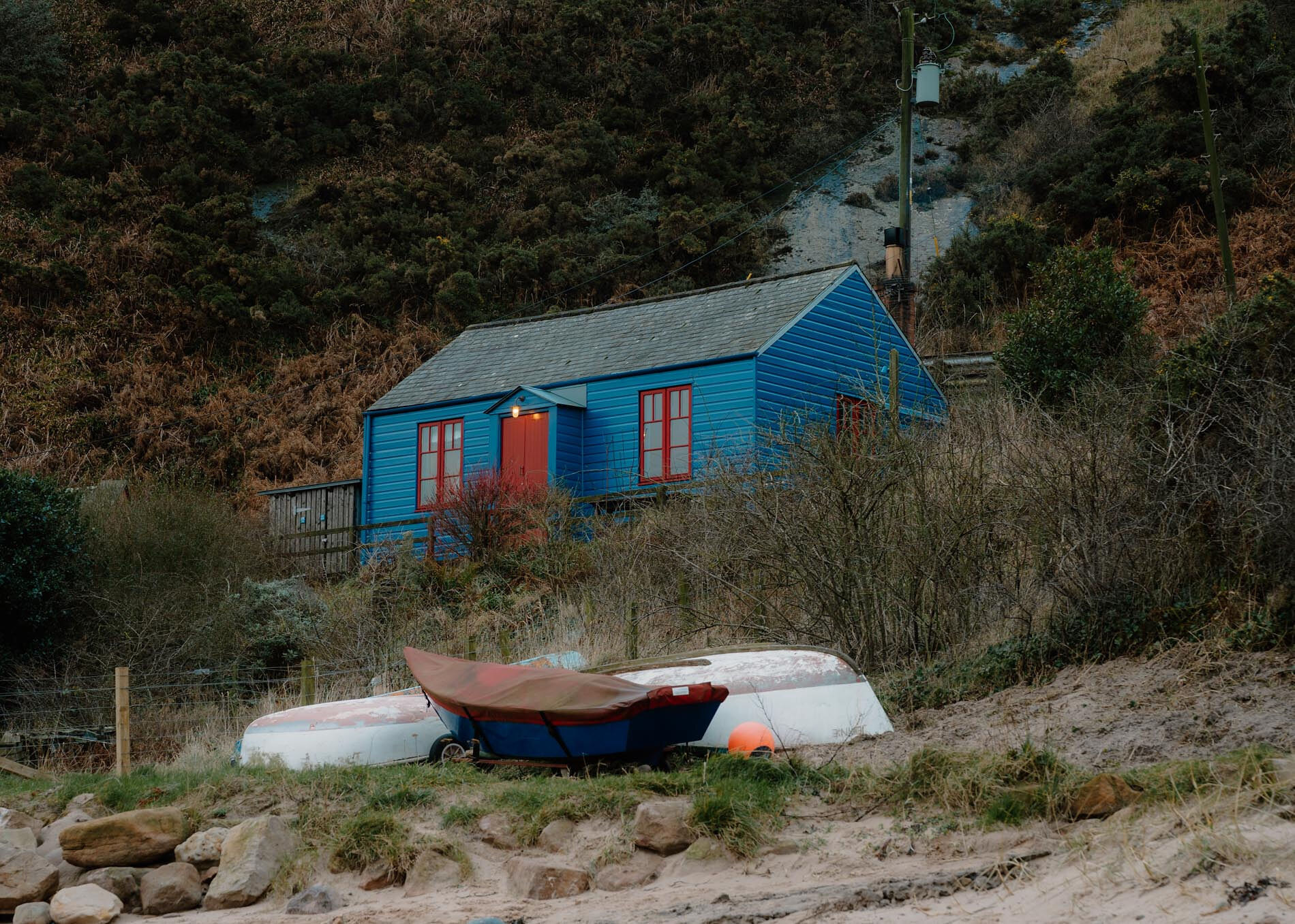
More walks near here
Within a short drive of the start.
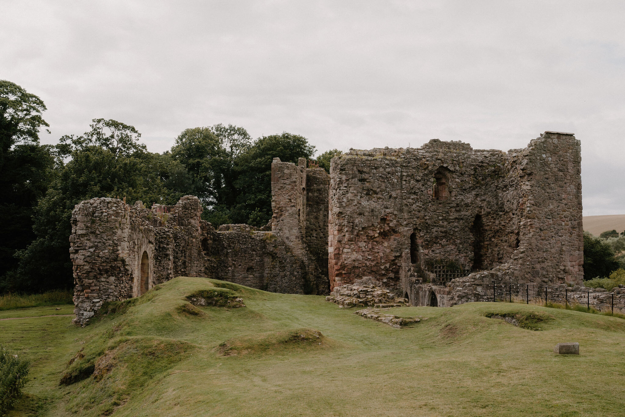 10 min by roadA walkEast Linton3 miles, an hour and a half or so
 15 min by roadA hillNorth Berwick Law3 miles, about three and a half hours
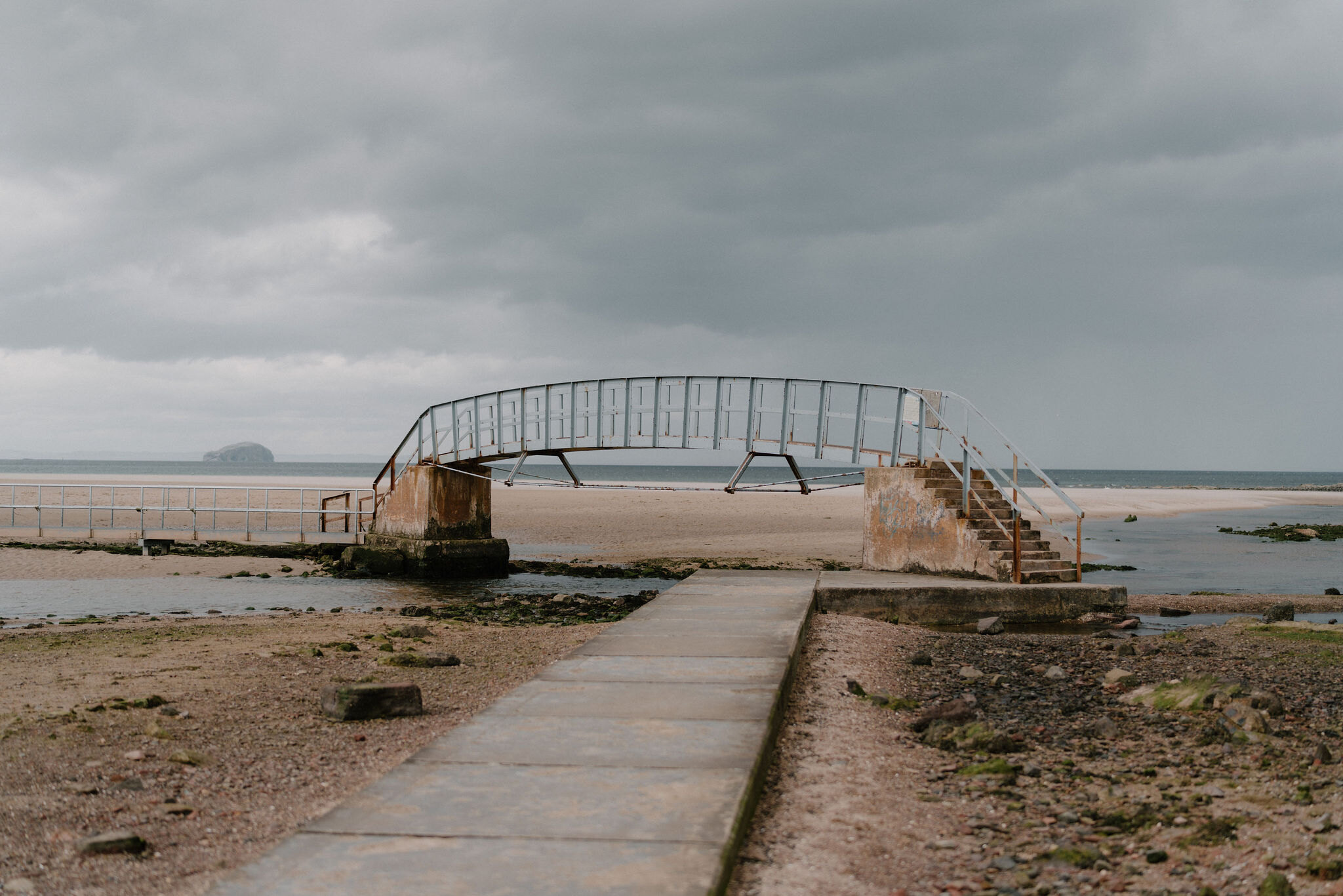 17 min by roadA walkBelhaven Bay to Dunbar3 miles, about two hours
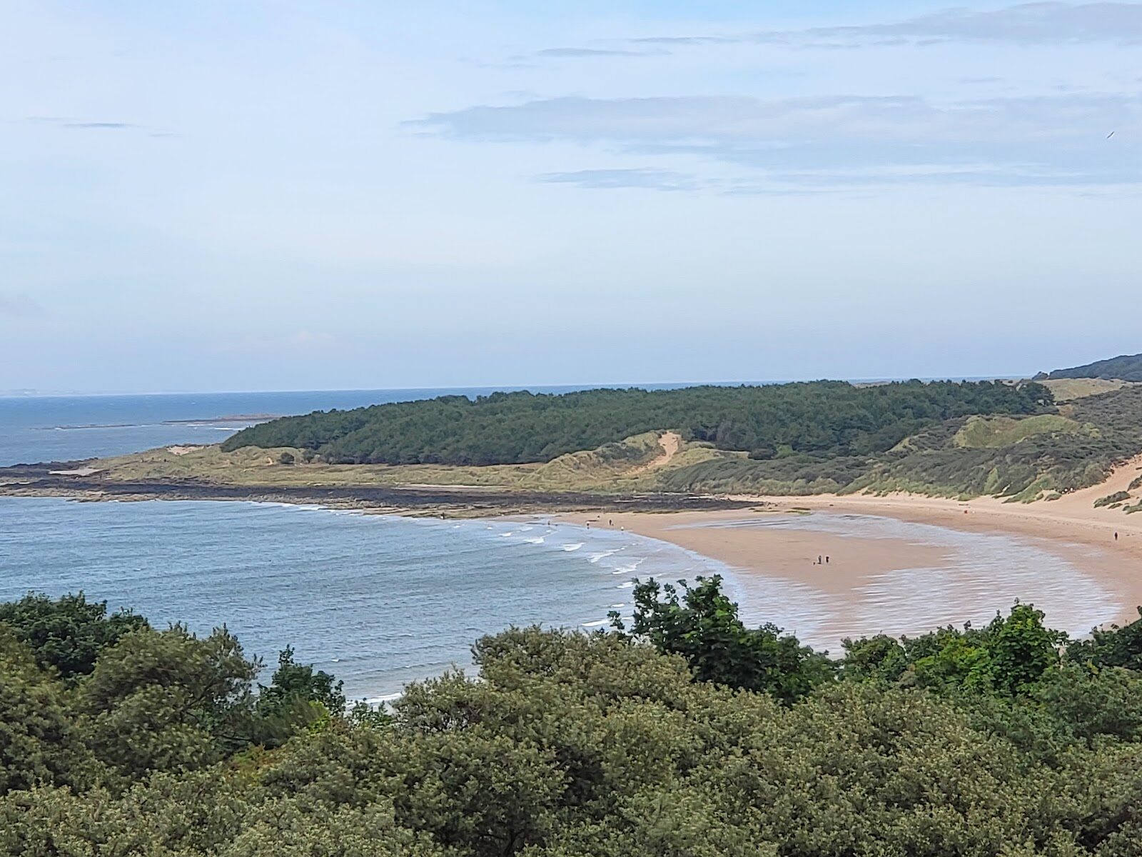 15 min by roadA walkGullane Point4½ miles, about two and a half hours
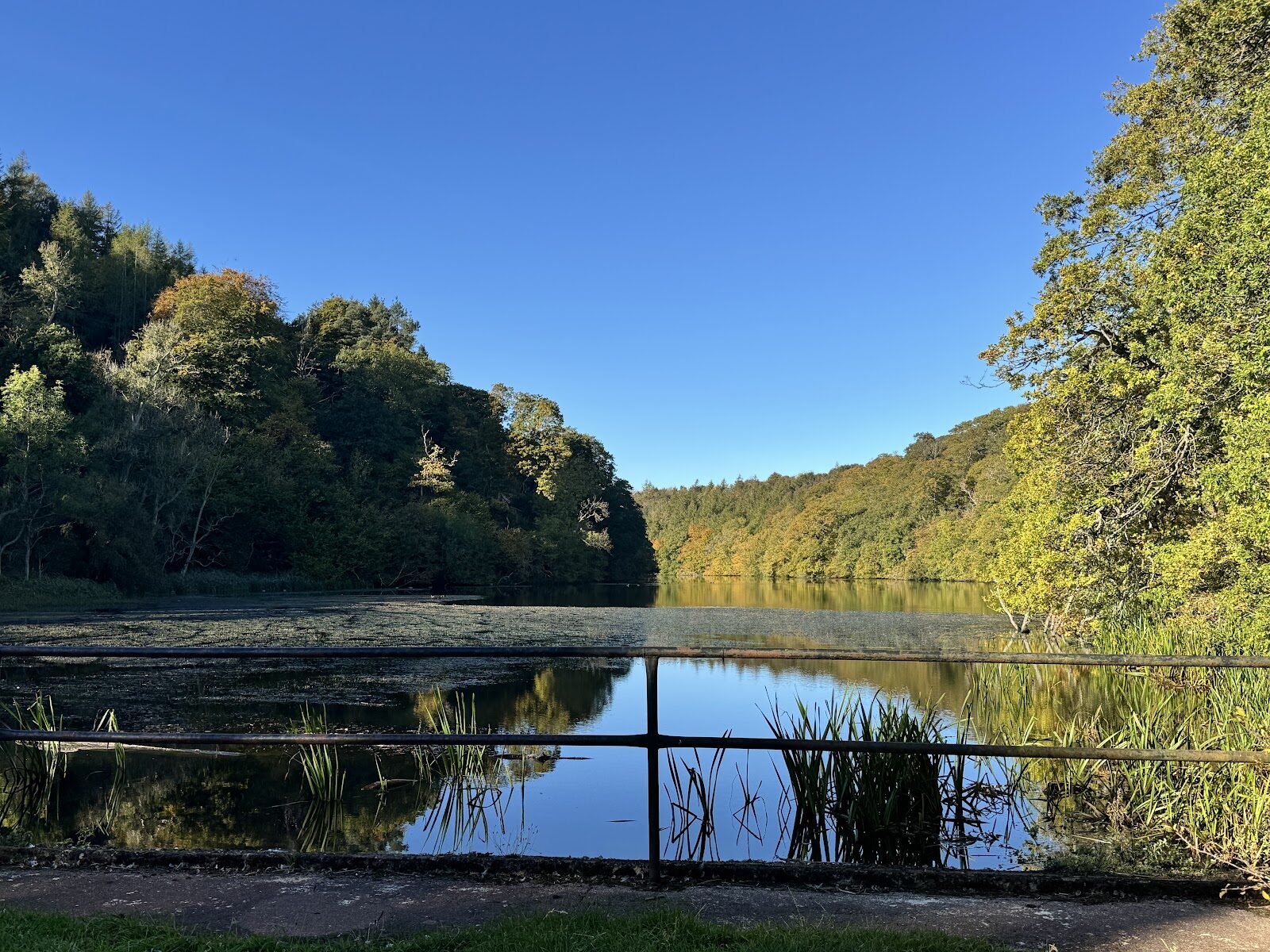 18 min by roadA walkPressmennan WoodAbout two hours
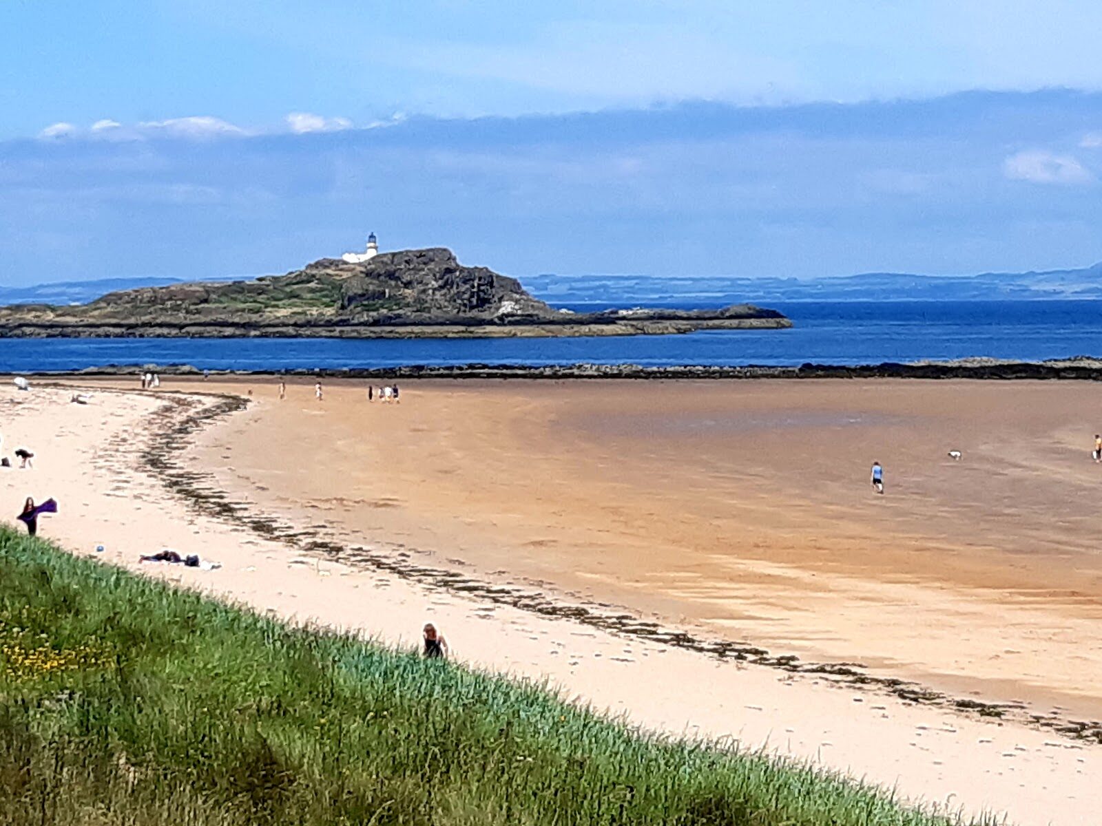 18 min by roadA walkYellowcraig and Dirleton3½ miles, about two hours
Did this walk?
Tell the next person how it went. The best go on this page, with your name.
For further reading, before you go.
Photograph by Chris McEwan via Google
Maps from OpenFreeMap © OpenMapTiles, data © OpenStreetMap contributors; heights from Mapzen's terrain tiles.