
Bennachie – Up the Mither Tap
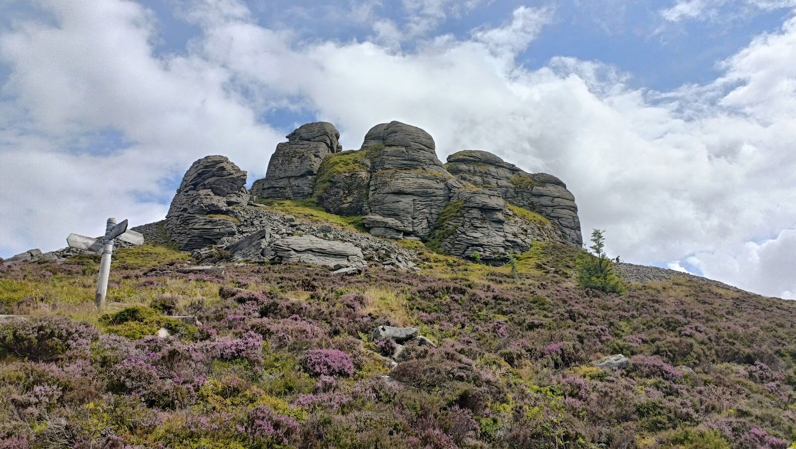
Bennachie is the hill the whole of the North East knows, and the Mither Tap is its sharp granite top, 518 metres up and ringed by the tumbled walls of an ancient hill fort.
The Mither Tap Timeline Trail climbs to it through the forest from the Bennachie Centre, steep and rough near the top, and the view takes in Donside, Deeside and the Cairngorms. It's a half-day hill for fit walkers, and for older children used to hills.
- Time
- About three hours: 2 hours 45 on the trail, and time on top.
- The path
- A very steep, rough trail with roots, rough rock steps and drains, narrow in places; the summit is slab rock, slippery when wet.
- Where to start
- Forestry and Land Scotland's Bennachie Centre car park (grid reference NJ 698 216): £2 up to an hour, £3 up to three hours, £4 all day; coins, card or RingGo; Blue Badge holders free.
- When to go
- All year in daylight; from November to February start up by 11am, and not in ice or snow.
- Children
- A strenuous hill trail: for older children used to hills.
- Toilets
- At the Bennachie Centre, with accessible toilets.
- Before you set out
- Ice and snow make the paths extremely hazardous in winter and spring. Windblown trees lie across parts of the hill's paths: go round with care, never over or under them.
The walk
The walk starts at the Bennachie Centre, signed from Chapel of Garioch off the A96 north of Inverurie. Park in Forestry and Land Scotland's car park there: £2 for an hour, £3 for three hours or £4 for the day, paid by coins, card or RingGo, and free for Blue Badge holders. There are toilets, and the visitor centre is open until the end of October.
Follow the Mither Tap Timeline Trail, 6 km there and back; Forestry and Land Scotland says to allow about 2 hours 45. It climbs through forest planted in the 1950s, then gets very steep and rough, with roots and rock steps, and the top is bare slab that is slippery when wet. Windblown trees still lie across parts of the hill's paths: go round with care, never over or under them.
Wear boots and bring waterproofs and a warm layer: the wind blows hard on top even in summer, so turn back if the weather worsens. From November to February start up by 11am, and leave it for another day when there's ice or snow on the path.
If it rains
Open hill with no shelter, and the top is slab rock that is slippery when wet: in rain or low cloud, walk the forest's Colony Trail below instead, or leave it for another day.
Before you go
Book accommodation nearby
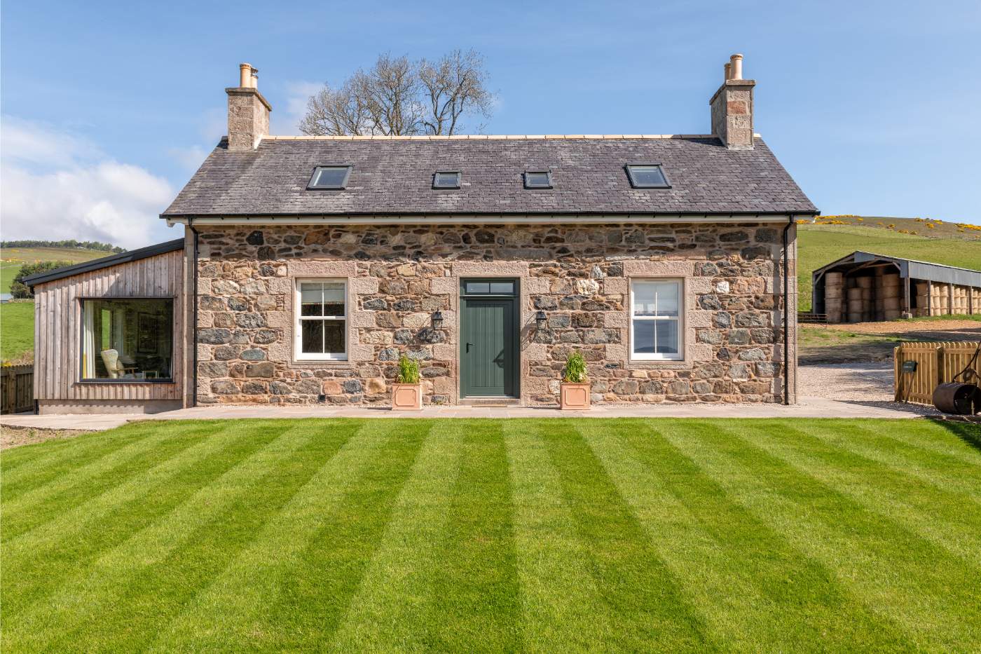
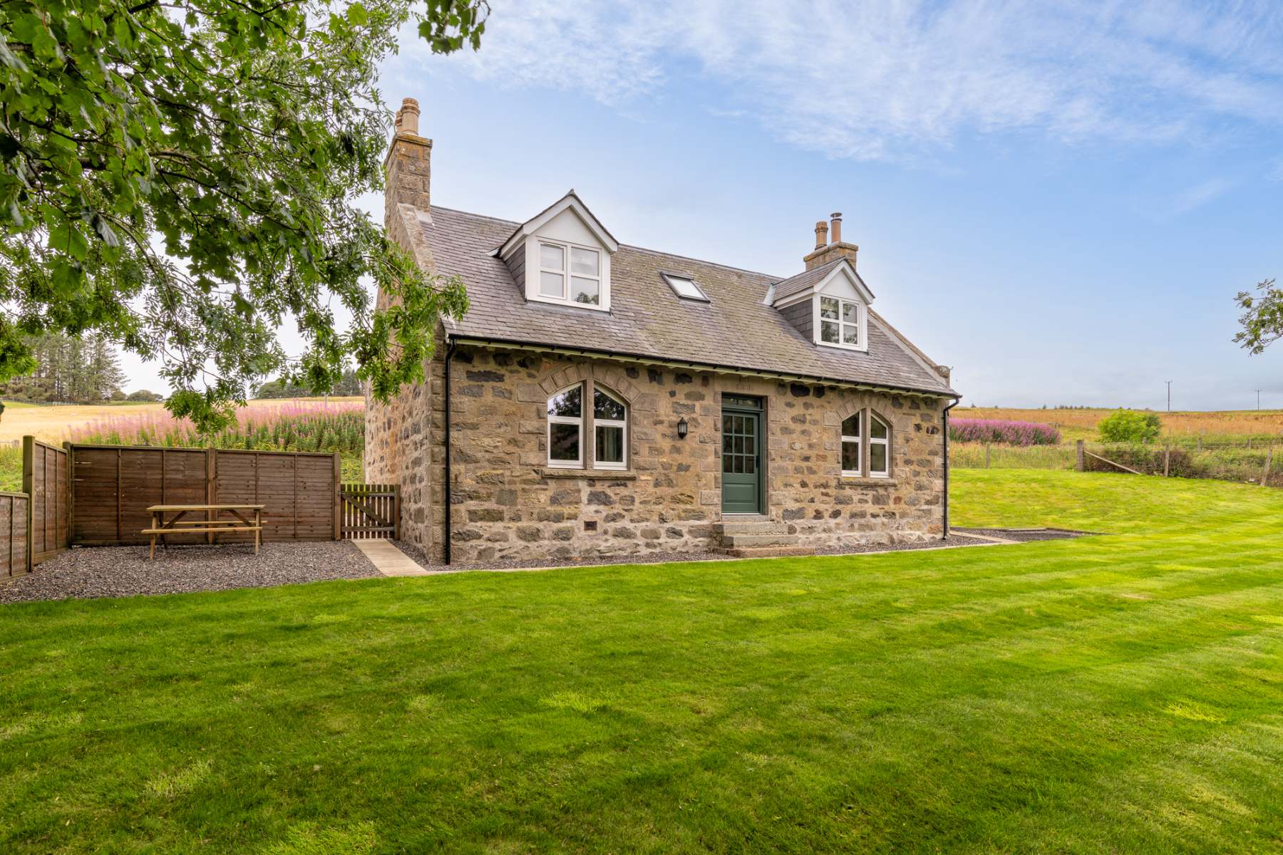
If you are staying over: here are ours nearest where the day starts and ends.
For further reading, before you go.
Photograph by Robert Paterson via Google