
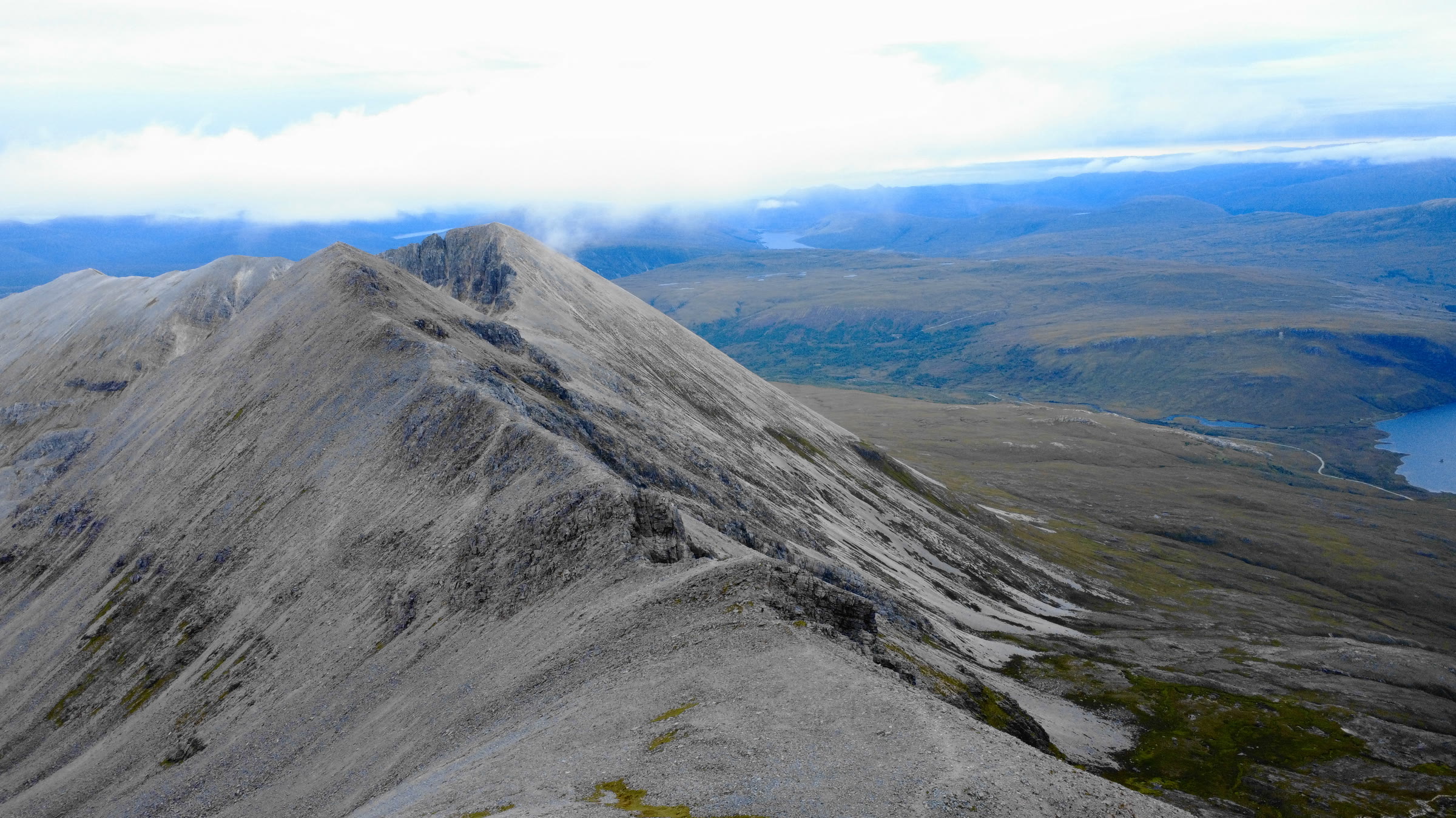
Spidean Coire nan Clach – Up Coire an Laoigh and Back
4 miles · 4 to 5 hours · a hill · there and back
dogs welcome
Spidean Coire nan Clach, 993 metres, is the lower of Beinn Eighe's two Munros, above Glen Torridon.
The usual way up from the road climbs a built path in zigzags into Coire an Laoigh, then the steep head of the corrie to the ridge. It goes on by the trig point and a narrow ridge with a short scramble to the summit, and back the same way. By our map it is about 6.8 km there and back with about 870 metres of climb, and it takes about 4 to 5 hours. It is a steep, stony mountain where mist and winter come in fast: for hillwalkers who can find their way with a map and compass.
Where it starts
A small car park by a square patch of forestry, reached by a short track off the A896 in Glen Torridon, about 7 km west of Kinlochewe, Steven Fallon says.
Is it for me?
Tap who is coming, or the day you have, for the answer on this walk.
Before you go
Getting there
A larger car park at Coire Dubh Mor, about 2 km to the west, can be nearly full early on a summer weekend. The start is reached by the A896, a narrow single-track road through Glen Torridon from Kinlochewe. The community's plan of 2024 says a bus runs twice a week from Kinlochewe to Dingwall and Inverness, and the nearest station is Achnasheen: check Traveline Scotland.
On the path
About 4 to 5 hours there and back: about 6.8 km (4¼ miles) and 870 metres of climb by our map. From the small car park in Glen Torridon up Coire an Laoigh to the ridge and the summit, 993 metres, and back the same way. A built path in long zigzags, then a worn, wet path into Coire an Laoigh with a small burn to cross. Then steep grass and loose gravel up the head of the corrie, scree to the trig point, and a narrow ridge with a short scramble to the summit. About 6.8 km of steep, stony walking with 870 metres of climb, loose gravel and scree, and a short scramble on a narrow ridge at the top: for children used to big hill days, with an adult who can navigate. The map to carry is OS Explorer 433, Torridon - Beinn Eighe & Liathach (Loch Maree, Kinlochewe & Gairloch) (1:25,000); Harvey Superwalker XT25, Torridon (1:25,000) shows the country round it.
Good to know
Summer and early autumn in daylight, on a clear, dry day with a good forecast. Keep dogs under close control: the last stretch to the summit is a short scramble on a narrow ridge. No toilets are published at the car park, so plan for none. Stalking can take place even where no notice is posted, so follow any signs. Under snow it is a winter mountain, with a cornice at times above the head of Coire an Laoigh: read the Scottish Avalanche Information Service's Torridon forecast.
The walk
The usual way up Spidean Coire nan Clach from a road starts at a small car park off the A896 in Glen Torridon. A built path climbs in zigzags into Coire an Laoigh, and a worn path goes up the corrie to the ridge and the summit, and back the same way. By our map it is about 6.8 km (4¼ miles) there and back, with about 870 metres of climb. Allow about 4 to 5 hours, more with stops, in poor weather or under snow. The summit is 993 metres up, and the car park only about 110 metres. The last stretch to the summit is a narrow ridge with a short scramble, where hands are needed.
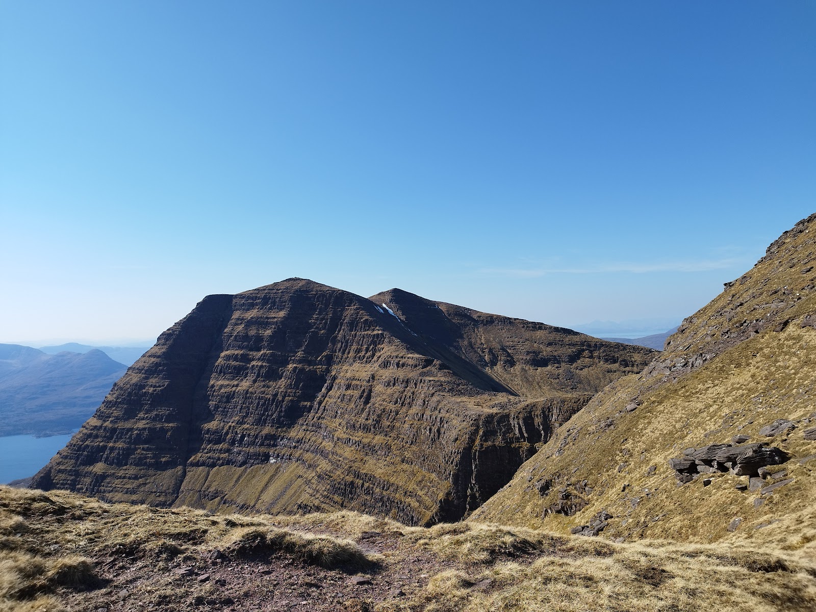
Spidean Coire nan Clach is the lower of Beinn Eighe's two Munros, in the middle of the mountain's long ridge. Most walkers who climb it go on west along the ridge to Ruadh-stac Mor, the higher Munro, and down into Coire Mhic Fhearchair. That is a long, harder day: the gully down into Coire Mhic Fhearchair is very steep, loose scree, the trickiest part of the round, as one guide describes it. East of the summit, the Black Carls are a Grade 1 scramble, Steven Fallon says. Munro Magic warns that the traverse of the whole main ridge needs moderate scrambling. Others climb Spidean Coire nan Clach as part of those longer rounds. This walk goes up to Spidean Coire nan Clach and back by Coire an Laoigh, and no further.
The car park is a small one by a square patch of forestry, about 7 km west of Kinlochewe, reached by a short track off the A896, Steven Fallon says. The A896 through Glen Torridon is a narrow single-track road, busy in the holiday season. A larger car park at Coire Dubh Mor, about 2 km to the west, can be nearly full before nine on a summer weekend, one walker found. No toilets are published at either car park, so plan for none.
Before you set off, check the mountain forecast: the Mountain Weather Information Service's Northwest Highlands forecast covers Torridon. Carry a map and compass and know how to use them: Munro Magic says the way needs map reading and the ability to navigate with a compass. Visibility can change markedly with the cloud level, it warns. The Torridon Mountain Rescue Team says its rescues can be among the most technically demanding in Scotland. Stalking can take place even where no notice is posted, so follow any signs.
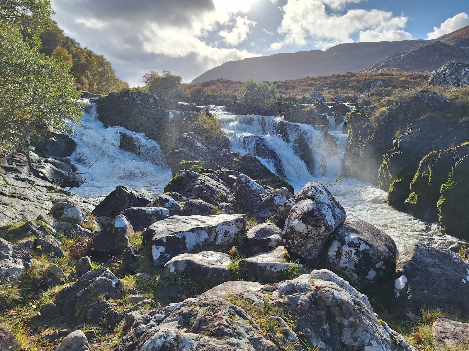
From the car park walk to the square of trees and pick up the path by an information board. It is a well-made path, and it climbs north in a long series of zigzags towards Coire an Laoigh, gaining about 400 metres, Steven Fallon says. Just as it enters the corrie the built path ends, Steven Fallon says, and a worn, eroded and wet path takes over. About 1.8 km out and about 480 metres up by our map, the path crosses a small burn, with no bridge. Stream levels can rise markedly in one day, Munro Magic warns: if the crossing looks unsafe, turn back.
The path climbs on up the corrie and turns west for its head. Here it climbs steeply up grass and loose gravel to the ridge, with crags close by on the headwall. By our map this is the steepest part of the walk, rising about 50 metres in every 100. About 2.9 km out, about 860 metres up, it reaches a small cairn on a grassy ridge between Spidean Coire nan Clach and the knobbly Stuc Coire an Laoigh.
At the cairn turn north. After an easy climb on grass, the way crosses gravel and scree up to a trig point on Beinn Eighe's main ridge, about 3.2 km out. The trig point is not the summit: in mist it can be mistaken for it, Steven Fallon warns. The summit is about 170 metres to the north-east and about 20 metres higher, reached along a narrow ridge. Just before it there is a short scramble over shattered quartzite pinnacles and boulders, where hands are needed. Steven Fallon and Munro Magic call it easy, with good holds, but it is still a scramble on a narrow ridge. Mountaineering Scotland warns that scrambling can be the most dangerous of all mountaineering activities, and that grades hold only for dry summer rock. If the rock is wet, icy or the wind is strong, the trig point is a sound place to turn back. The summit, 993 metres, has a small cairn.
Beinn Eighe is a mountain of pale quartzite, its upper slopes strewn with boulders and scree, Munro Magic says. It warns of stony and rocky slopes and crags on or near the ways up, and of crags near the summit. The gravel and scree can be slippery, and coming down the steep head of the corrie on loose ground is slow: take care, above all when it is wet.
In mist, mind the way off the summit. Go back south-west along the narrow ridge to the trig point, then south down the scree and grass to the small cairn on the ridge, and turn left, east, down into Coire an Laoigh. Do not follow the main ridge west towards Ruadh-stac Mor, or east towards Sgurr Ban and the Black Carls. If the cloud comes down, the wind rises or anyone is tiring, turn back by the way you came.
Under snow Spidean Coire nan Clach is a winter mountain: the steep corrie head and the summit ridge then need winter gear and the skill to use it. A cornice can form above the head of Coire an Laoigh, Steven Fallon warns, and he gives the rough eastern spur of Stuc Coire an Laoigh as the way round it. The Scottish Avalanche Information Service counts the mountains and corries around Beinn Eighe as the core of its Torridon area, and Munro Magic asks winter walkers to check its forecast.
The way down is the way you came: back to the trig point and the cairn, down the head of the corrie and out on the zigzags to the car park. In an emergency call 999 or 112 and ask for Police and Mountain Rescue, Mountaineering Scotland says. Give a six-figure grid reference and a named feature if you can. Phone signal in the Highlands is often patchy: to be able to text 999, register first by texting the word register to 999.
If it rains
None on this walk: in rain, low cloud or a high wind, leave the summit for another day. Wet quartzite, gravel and scree turn slippery, and the short scramble to the summit is harder when wet: turn back at the trig point. In mist go back from the summit to the trig point, south to the cairn and down the corrie, never on along the ridge. If the cloud comes down, turn back by the way you came.
After the walk
Something to do with the rest of the day, nearest the end of the walk first.
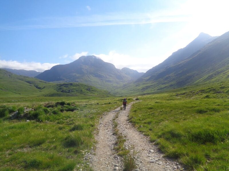
Places to stay near the walk
Our places to stay nearest the start, by road.
An advert · Ardheslaig
The Net Store
A holiday house for four on the shore of Loch Beag at Ardheslaig, on the Applecross peninsula, built for the views across the Minch to the Hebrides.
Sleeps 4 · 22 minutes by road
See The Net Store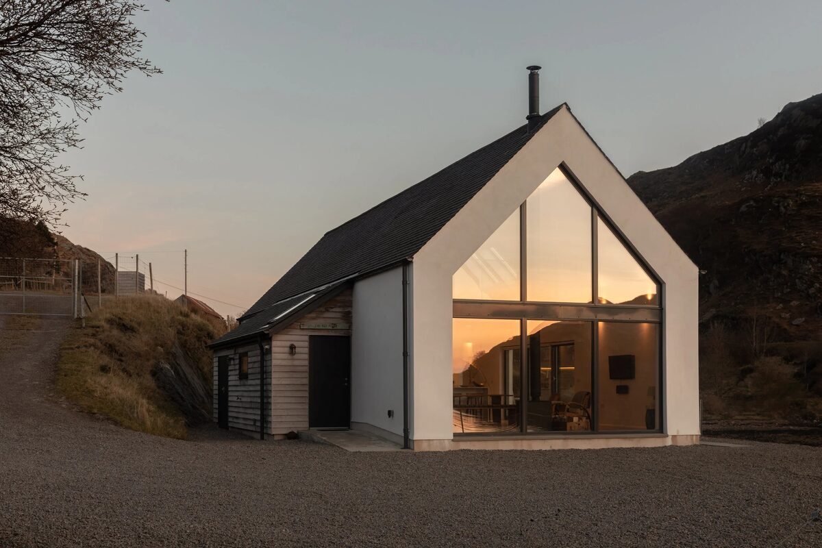
More places to stay near the walk
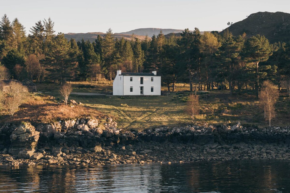
More walks near here
Within a short drive of the start.
Did this walk?
Tell the next person how it went. The best go on this page, with your name.
Find out more
For further reading, before you go.
- Spidean Coire nan Clach, the Munro page, Hidden Scotland↗
- Beinn Eighe in Torridon, Steven Fallonstevenfallon.co.uk↗
- Scrambling, Mountaineering Scotlandmountaineering.scot↗
- The Northwest Highlands forecast, Mountain Weather Information Servicemwis.org.uk↗
- Torridon avalanche forecast, Scottish Avalanche Information Servicesais.gov.uk↗
- About us, Torridon Mountain Rescue Teamtorridonmrt.org.uk↗
- Calling for help, Mountaineering Scotlandmountaineering.scot↗
Maps from OpenFreeMap © OpenMapTiles, data © OpenStreetMap contributors; heights from Mapzen's terrain tiles.