
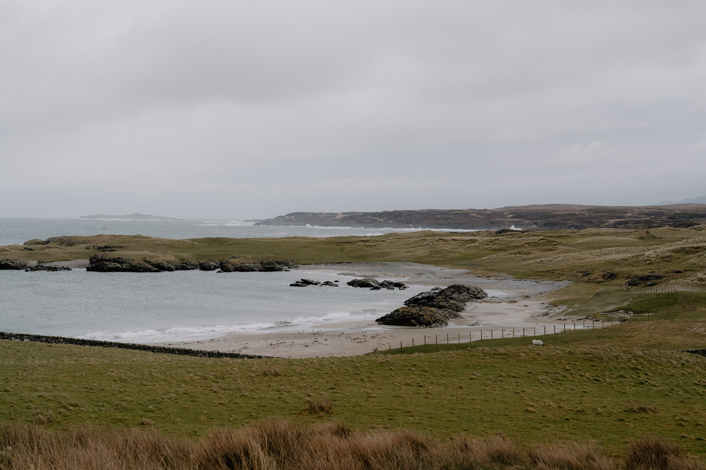
Sanaigmore – Quiet Sands at the End of the Road
2½ miles · 1½ hours
dogs on a lead
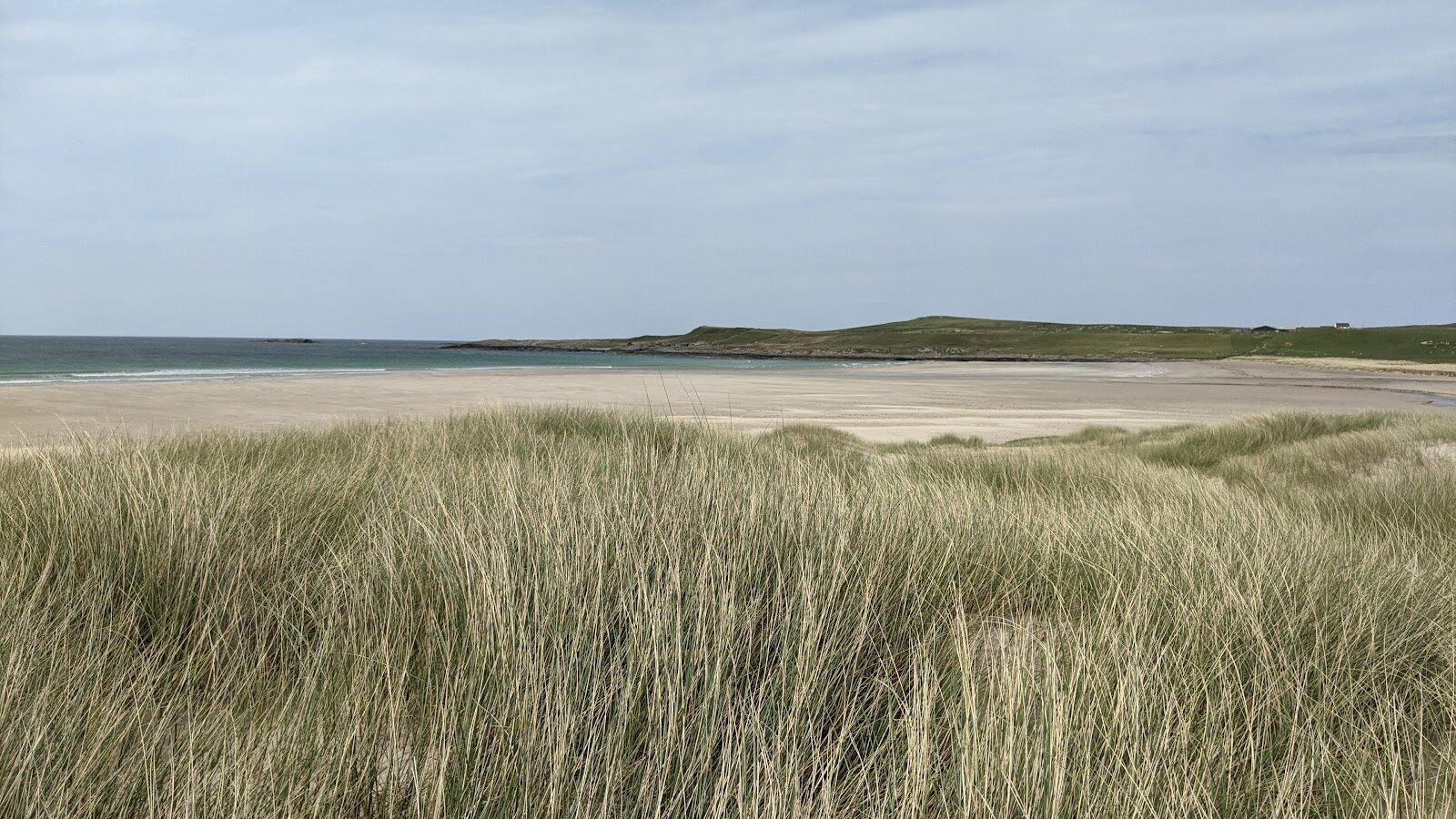
Sanaigmore is where the road runs out on the north-west corner of Islay: a farm, a memorial and a pale sandy bay behind low dunes, with the open Atlantic beyond.
A walk along the shore links the bay with the beaches on either side of it, and on most days you'll share it with sheep and Highland cattle and very few people.
Where it starts
Beside the Exmouth Memorial at the end of the B8018, six miles north of Bruichladdich.
Is it for me?
Tap who is coming, or the day you have, for the answer on this walk.
Before you go
On the path
About an hour and a half: some 4 km, or 2½ miles, with 30 metres of climb. Short grass, shingle and sand, with pathless stretches and a few short steep, boggy or rough bits. Not for wheelchairs or pushchairs. For children, an easy walk with beaches to play on.
Good to know
From November to January, set off by 1pm. Dogs on a lead: ponies, cows and sheep graze behind the shore. Toilets none at Sanaigmore. Farm ground with ponies, cows and sheep: dogs on a lead, and shut the gates. Every Islay ferry uses Port Askaig while Port Ellen's terminal is closed, until 2029. No ferry on 25 December or 1 January. Wind can stop the boat: look at CalMac's service status page on the morning you travel.
The walk
This is a circuit of about 4 km (2½ miles) along the shore from the Exmouth Memorial at the end of the B8018, with 30 metres of climbing, and a walker's guide allows an hour and a half. It links three beaches, over short grass, shingle and sand, with stretches of track and stretches of no path at all, and a few short bits that are steep, boggy or rough. The walk's own page, on Islay's visitor site, gives the way in.
The memorial remembers 241 Irish emigrants who died when the ship Exmouth of Newcastle struck rocks just off this coast in 1847.
The three beaches are each different. To the east is a shingle beach with banded rocks and pools. Sanaigmore Bay in the middle is a wide curve of pale sand between dark, rocky headlands, with low dunes and a dry-stone wall behind. At the west end a sandy cove stays hidden by cliffs until you are almost on it. The two sandy beaches are at their best at low tide.
Ponies, cows and sheep graze the ground behind the shore, so keep dogs on a lead and shut gates behind you. There is nowhere to eat that can be counted on in winter, so bring food and a flask.
Sanaigmore is 18 miles from the ferry at Port Askaig, about 40 minutes' drive. Islay is reached on CalMac's car ferry from Kennacraig in Kintyre, a crossing of just under two hours. Port Ellen's ferry terminal is closed for upgrading until 2029, so every boat lands at Port Askaig, in the north-east of the island. Book the car on before you travel, and be at the pier 30 minutes before the boat sails. On the winter timetable, from 19 October 2026 to 25 March 2027, the first boat leaves Kennacraig at 7am, or at 10am on a Tuesday and a Sunday. The last boat off the island leaves Port Askaig at 5.25pm on a Monday and a Wednesday, 6.05pm on a Tuesday and a Friday, and 6pm on a Thursday, Saturday and Sunday. The Thursday boat does not sail on 24 or 31 December. After 25 March 2027 the summer timetable applies, so read the times on CalMac's Islay page. Wind can stop the boat: look at CalMac's service status page on the morning you travel.
If it rains
There's no shelter at Sanaigmore and the grass and rocks are slippery when wet. In rain, walk down to the main bay and back, which takes a few minutes, and keep the longer round for a dry day.
Before you go
Book the car onto CalMac's Kennacraig to Port Askaig ferry before you travel, out and back, and be at the pier 30 minutes before the boat.
After the walk
Something to do with the rest of the day, nearest the end of the walk first.
With the rest of the day
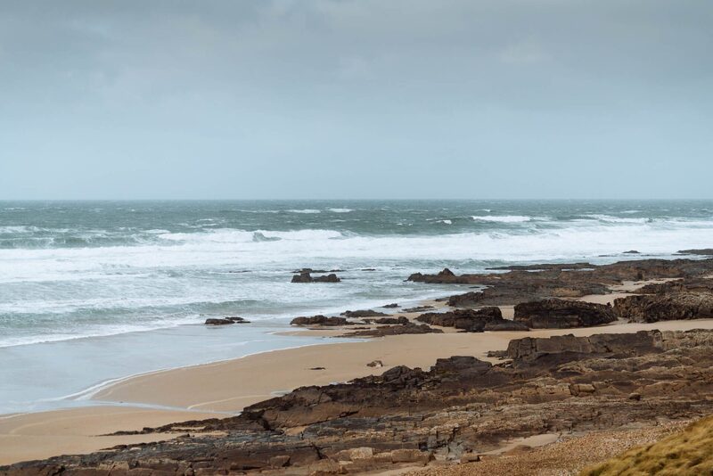 9 min by roadThings to doSaligo BayA west-coast bay of sand and rocks, known for its light, with the Sleeping Giant rock formation to the north.
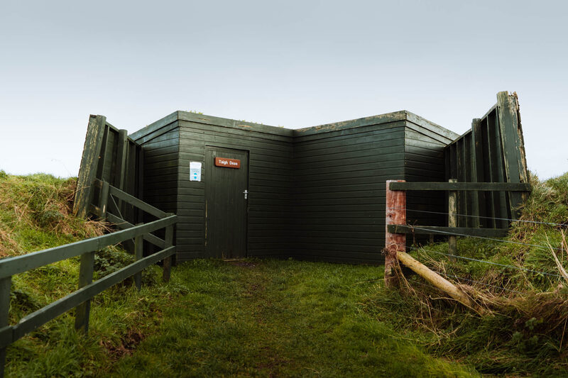 10 min by roadThings to doLoch GruinartThe RSPB reserve at the head of Loch Gruinart, winter home to as many as 24,000 geese, with a visitor centre, hides and trails.
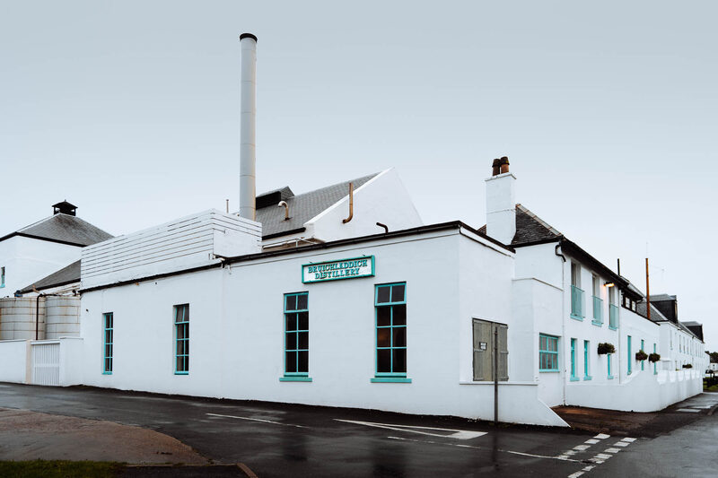 14 min by roadThings to doBruichladdich DistilleryA Victorian distillery on the shore of Loch Indaal making Bruichladdich, Port Charlotte, Octomore and The Botanist gin, with tours from £15.
Places to stay near the walk
The places to stay nearest the walk.
None of ours is within an hour by road. The nearest, as the crow flies, is Fern Cottage in Croggan, 46 miles away.
Then The Hollies in Tighnabruaich, 46 miles away.
More walks near here
Within a short drive of the start.
Did this walk?
Tell the next person how it went. The best go on this page, with your name.
For further reading, before you go.
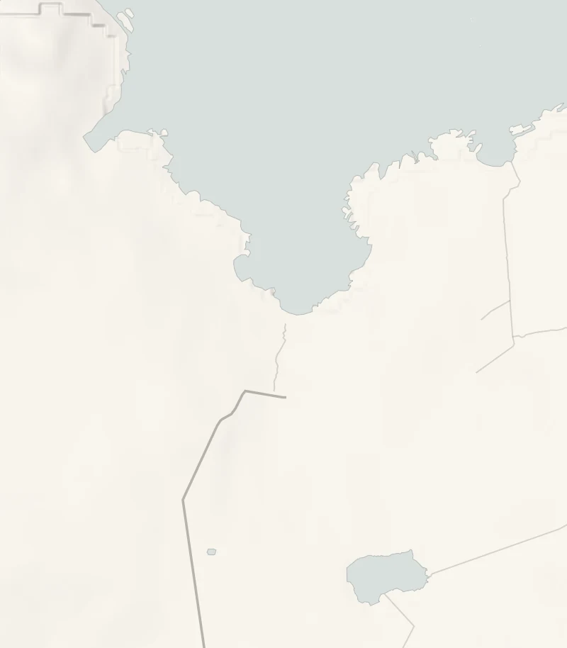
Maps from OpenFreeMap © OpenMapTiles, data © OpenStreetMap contributors; heights from Mapzen's terrain tiles.