
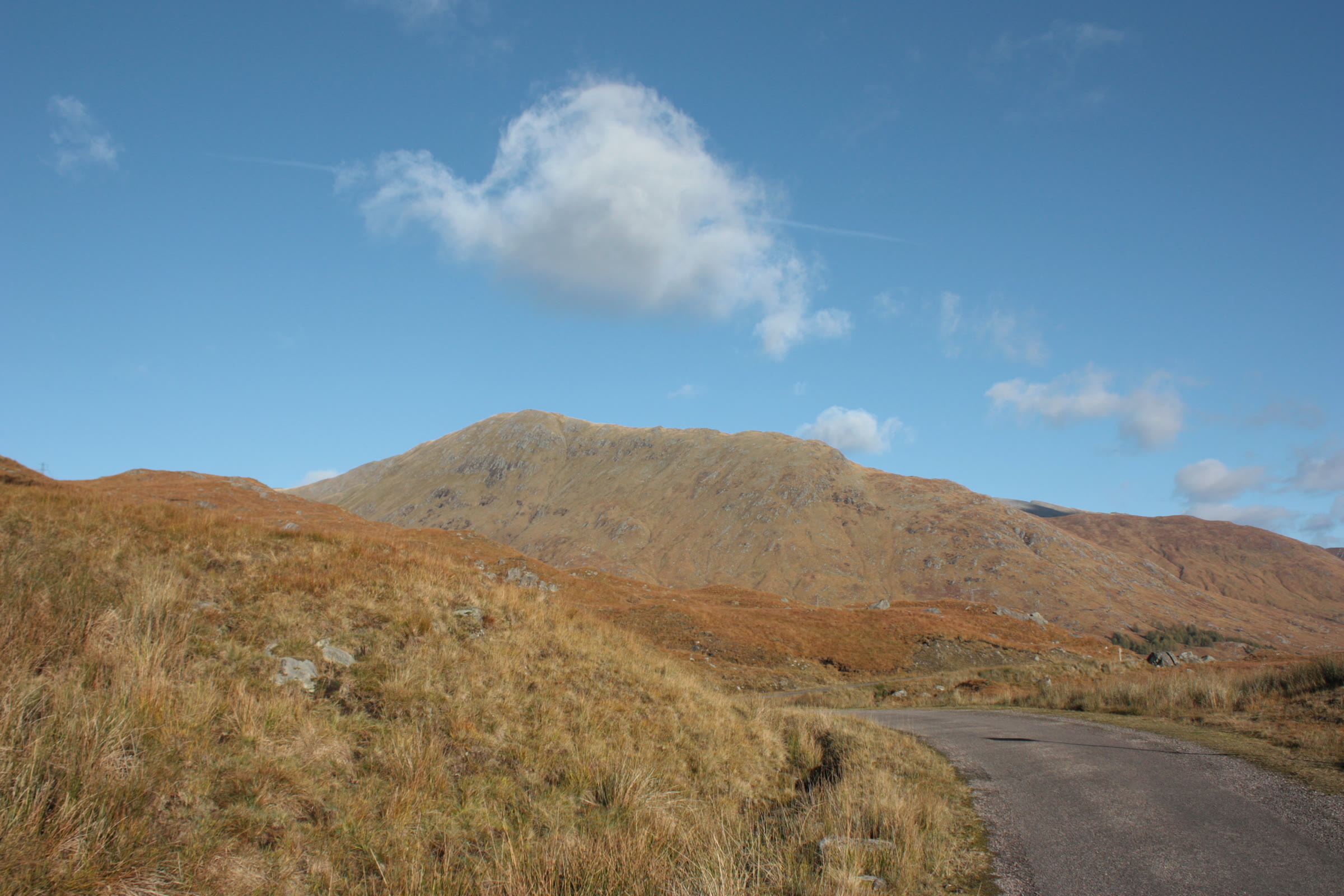
Gleouraich – By the Stalkers' Path over Druim Seileach
About 5½ miles on foot.
Gleouraich, 1,035 metres, rises above the north shore of Loch Quoich, on the long single-track road to Kinloch Hourn.
The usual way up climbs an old stalkers' path from a parking place by the road, over Sròn a' Chuilinn and along Druim Seileach. A steep hill path goes on to the summit ridge, and the walk comes back the same way. By our map it is about 8.8 km there and back with about 880 metres of climb, and it takes about 3½ to 4½ hours. The path runs above a steep slope and within metres of crags near the top. It is a day for experienced hillwalkers who can find their way with a map and compass.
- Time
- About 3½ to 4½ hours there and back: about 8.8 km (5½ miles) and about 880 metres of climb by our map. From the parking place by the Allt Coire Peitireach up the stalkers' path over Sròn a' Chuilinn and along Druim Seileach, then a steep path up the north ridge to the summit, 1,035 metres, and back the same way.
- The path
- An old stalkers' path through rhododendrons and up long zigzags, then a narrow traverse above a steep slope on Druim Seileach. Then a rougher, steep hill path past the top of crags, and a stony, rocky crest to the summit.
- Where to start
- The small parking place among rhododendrons by the road to Kinloch Hourn, just past the bridge over the Allt Coire Peitireach, about 5 km west of the Loch Quoich dam. Steven Fallon gives it room for about 8 cars; OpenStreetMap marks it free.
- Set off
- From Invergarry west on the A87 for 8 km, then the narrow single-track road signposted for Kinloch Hourn, along Loch Garry and Loch Quoich: about 18 km to the dam, Steven Fallon says. SSEN Transmission reported the road fully open on 25 August 2026, with stop and go traffic control at times: check its page before you travel.
- When to go
- Summer and early autumn in daylight, on a clear, dry day with a good forecast and little wind.
- Dogs
- Under close control, and well back from the crags near the top.
- Children
- About 8.8 km of hill walking with 880 metres of climb, a path above a steep slope and crags beside the path near the top: for children used to big hill days, with an adult who can navigate.
- Toilets
- No guide read names toilets at the parking place, and there are none on the hill, so plan for none.
- Before you set out
- This is deer forest: check the Heading for the Scottish Hills website, as Mountaineering Scotland advises, above all from 1 to 20 October and late in the hind season, which ends on 15 February, and follow any signs. Under snow it is a winter mountain, with crags beside the path near the top; no avalanche forecast takes in this hill.
The walk
The usual way up Gleouraich starts at a small parking place by the Allt Coire Peitireach, on the single-track road along Loch Quoich to Kinloch Hourn. It climbs an old stalkers' path over Sròn a' Chuilinn and along Druim Seileach, then a steep hill path to the summit ridge, and comes back the same way. By our map it is about 8.8 km (5½ miles) there and back, with about 880 metres of climb. Allow about 3½ to 4½ hours, more with stops, in poor weather or under snow. The summit is 1,035 metres up, and the parking place about 220 metres. No public body publishes this way, a distance or a time for it.
Gleouraich rises above the north shore of Loch Quoich, which the Ordnance Survey now names Loch Cuaich. Its south side is long grassy slopes, but to the north it falls in high, craggy corries, Munro Magic says. Most walkers go on east along the ridge over Creag Coire na Fiar Bhealaich to Spidean Mialach, and come down by Loch Fearna. That is a longer day: this walk climbs Gleouraich alone and comes back by the stalkers' path.
From Invergarry, Steven Fallon says, head west on the A87 for 8 km to a junction by Loch Garry, and take the narrow road signposted for Kinloch Hourn. It runs about 18 km to the Loch Quoich dam. About 5 km west of the dam, just past the bridge over the Allt Coire Peitireach and a small hydro building, Mountaineering Scotland puts a small parking place by the road. Steven Fallon gives it room for about 8 cars, among rhododendrons, and OpenStreetMap marks it free. No guide read names toilets, so plan for none.
SSEN Transmission has been working on this road. On 25 August 2026 it reported the road fully open, with stop and go traffic control at times and work on the Quoich Bridge still to do: check its page before you travel. Gilkes Energy has applied to build a pumped storage hydro scheme at the western end of Glen Garry, SSEN Transmission says. If works begin, follow any signs.
Before you set off, check the mountain forecast: the Mountain Weather Information Service's Northwest Highlands forecast covers the hills north from Knoydart, and the Met Office has a forecast for the summit. It grows colder as you climb, about 1°C for every 100 metres, and the wind usually rises with height, Munro Magic says. Carry a map and compass and know how to use them: Munro Magic says the way needs map reading and the ability to navigate with a compass. In poor visibility, it warns, following paths without a compass can get you lost. Leave word with someone of where you are going and when you will be back.
This is deer forest. Mountaineering Scotland says the busiest stalking comes from 1 to 20 October and at the end of the hind season, which runs from 21 October to 15 February. Check the Heading for the Scottish Hills website before you go, and follow any signs on the ground. Keep dogs under close control.
A metal pole on the north side of the road marks the start of the stalkers' path, Mountaineering Scotland says. The path climbs through thick rhododendrons beside the Allt Coire Peitireach, on its west side. After about 500 metres it turns away from the burn and zigzags up towards Sròn a' Chuilinn, Steven Fallon says. The zigzags keep the gradient gentle, one walker says. About 2 km from the road by our map the path reaches Sròn a' Chuilinn, on Druim Seileach, the hill's south-west shoulder.
The path goes on north up Druim Seileach and traverses just below its high point, about 840 metres up. Here the slope falls away steeply on the left to the loch in Glen Quoich, and Mountaineering Scotland finds a surprising feeling of exposure. One walker warns that a trip here would send you tumbling down the slope. Watch your footing, above all in a strong wind or when the path is wet or frozen.
About 3½ km from the road by our map, past a slight dip, the stalkers' path ends at a low stone butt, a stalkers' shelter. A rougher, steeper hill path climbs from near its end to the north ridge, Steven Fallon and Mountaineering Scotland say. Keep your map and compass to hand. If the cloud is coming down, the wind is rising or anyone is tiring, turn back here.
On the way up to the ridge the path runs along the top of crags on the hill's north-west side, the cliffs of Fraoch Choire, one walker says. By our map it passes within about 10 metres of their edge, about 890 metres up. Munro Magic warns of steep slopes and crags on or near the way up and near the summit. Keep to the path and well back from the edge, above all in mist, wind or snow.
By our map the path reaches the north ridge about 970 metres up, and turns south-east up the crest. The ground grows stonier and the ridge narrows, and the path winds through boulders and rocky ground to the summit, 1,035 metres. A cairn stands on the top above the big drops of Garbh Choire Mòr to the north, Steven Fallon says: keep back from the edge. The ridge goes on east over Creag Coire na Fiar Bhealaich to Spidean Mialach: it is not this walk.
Under snow Gleouraich is a winter mountain, for walkers with winter skills, an ice axe and crampons. One walker in May found snow cornices along the ridge east of the summit: keep well back from the edges of the corries. None of the Scottish Avalanche Information Service's forecast areas takes in this hill, but snow brings the risk here all the same. Its full winter forecasts begin on 17 December 2026.
The way down is the way you came: back north-west along the crest, down the steep path past the crags, and along Druim Seileach and down the zigzags to the road. In cloud, check the line with your map and compass before you leave the summit. Do not follow the ridge east towards Spidean Mialach, and keep off the north side. In an emergency call 999 or 112 and ask for Police and Mountain Rescue, Mountaineering Scotland says. Give a six-figure grid reference and a named feature if you can. Phone signal in the Highlands is often patchy: to be able to text 999, register first by texting the word register to 999.
If it rains
None on this walk: in rain, low cloud or a high wind, leave the summit for another day. The path runs above a steep slope on Druim Seileach and within metres of crags near the top. In mist go back from the summit north-west along the crest and down the path you came up, never east along the ridge or off the north side.
Before you go
Book accommodation nearby
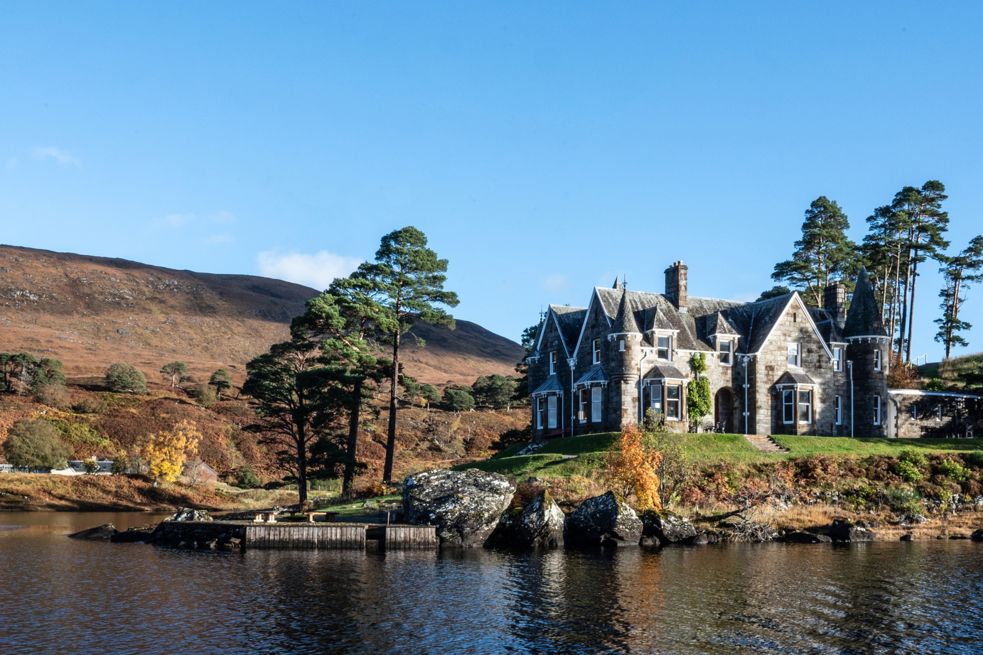
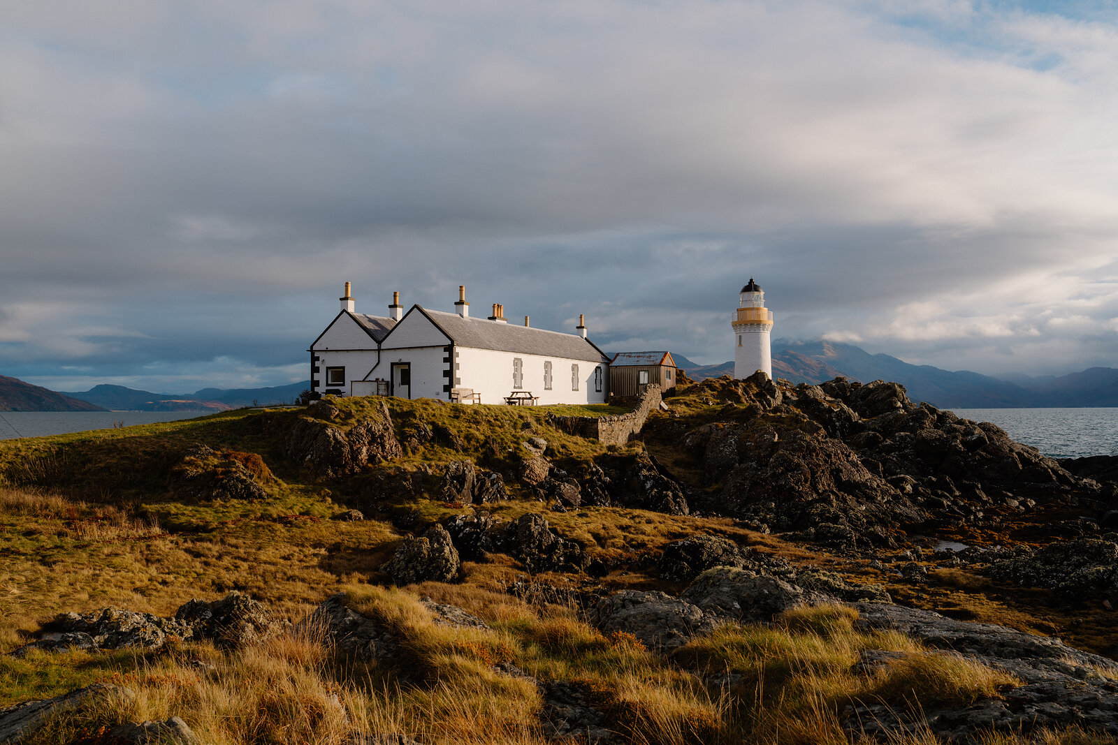
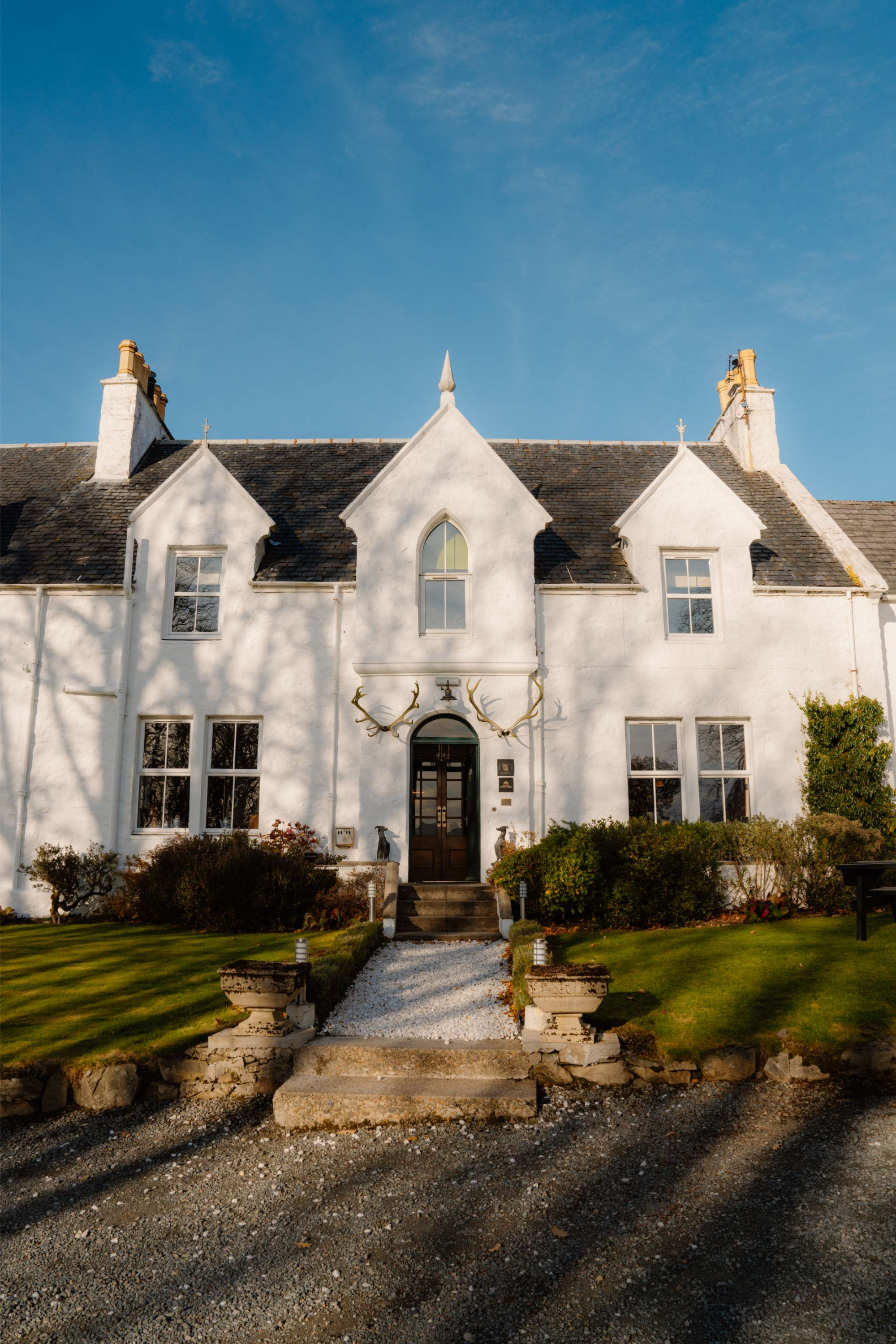
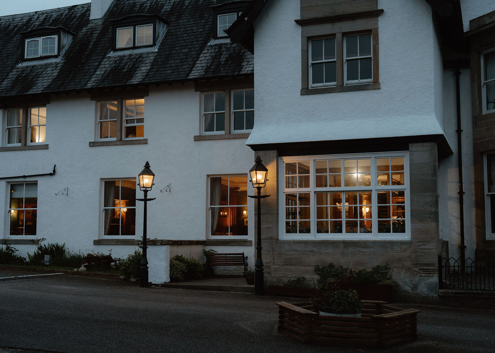
If you are staying over: here are ours nearest where the day starts and ends.
Find out more
For further reading, before you go.
- Gleouraich, the Munro page, Hidden Scotland↗
- Gleouraich, Steven Fallonstevenfallon.co.uk↗
- Gleouraich and Spidean Mialach from Loch Cuaich, Steven Fallonstevenfallon.co.uk↗
- Scotland's Best Walks: Gleouraich and Spidean Mialach, Mountaineering Scotlandmountaineering.scot↗
- The Northwest Highlands forecast, Mountain Weather Information Servicemwis.org.uk↗
- Gleouraich summit forecast, Met Officeweather.metoffice.gov.uk↗
- The road to Kinloch Hourn, SSEN Transmissionssen-transmission.co.uk↗
- Deer stalking, Mountaineering Scotlandmountaineering.scot↗
- Calling for help, Mountaineering Scotlandmountaineering.scot↗
Maps from OpenFreeMap © OpenMapTiles, data © OpenStreetMap contributors; heights from Mapzen's terrain tiles.