
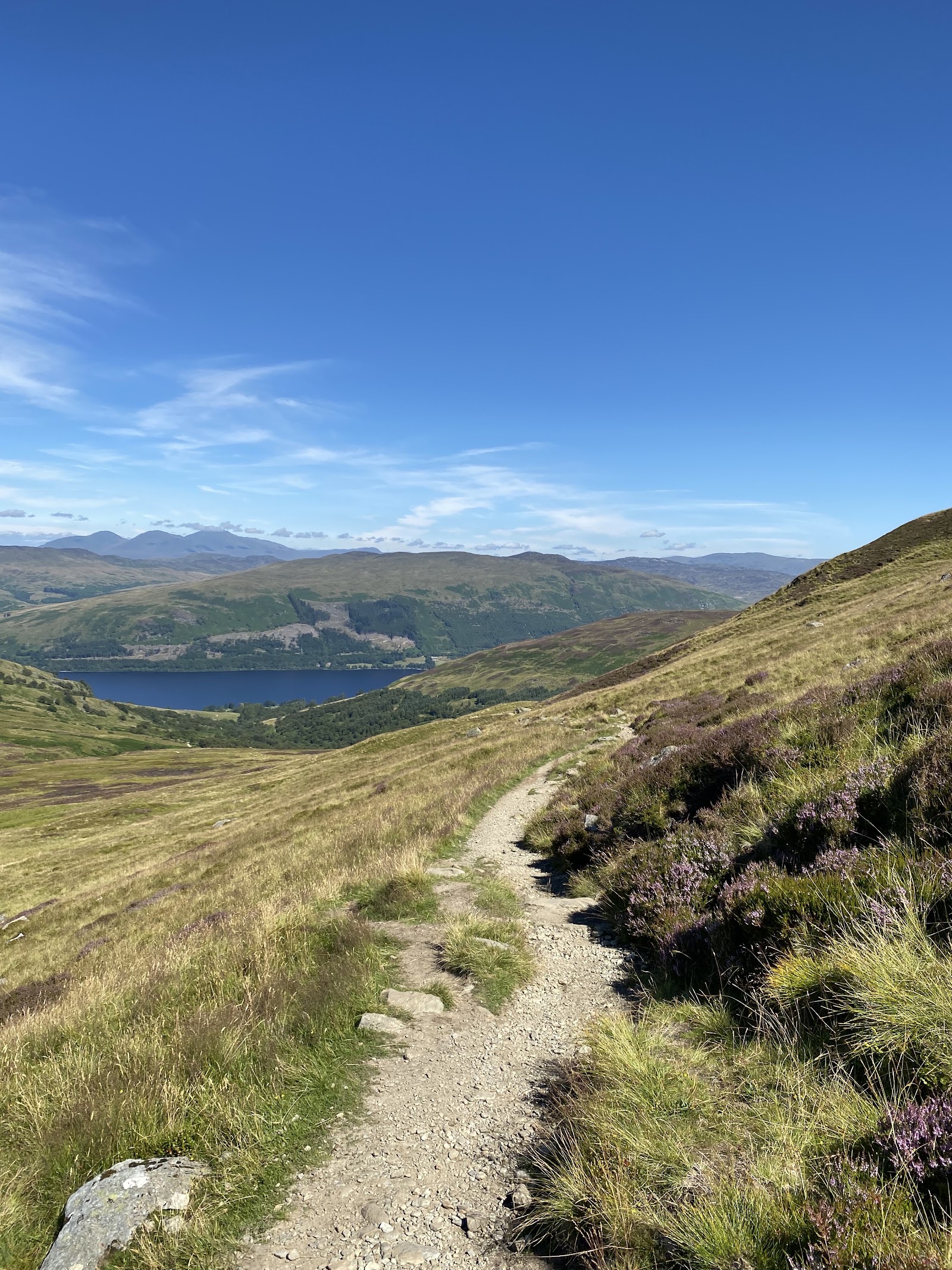
Ben Vorlich – Up Glen Vorlich and the North Ridge
6 miles · 4 to 6 hours · a hill · there and back
Ben Vorlich stands above the south shore of Loch Earn, and its summit is 985 metres, the national park says.
The usual way up starts on the South Loch Earn Road at Ardvorlich. It follows a track up Glen Vorlich beside the burn, then a hill path up the north ridge to the top, and comes back the same way. By our map it is about 10 km there and back with about 900 metres of climb, and it takes about 4 to 6 hours. The park says any Munro needs a good level of fitness and navigational skills.
Where it starts
Start at the roadside of the South Loch Earn Road near the bridge over the Ardvorlich Burn, where there is no car park and the spaces fill early on fine weekends.
Is it for me?
Tap who is coming, or the day you have, for the answer on this walk.
Before you go
Getting there
The national park's Loch Earn Code asks drivers to park without blocking access and never in a passing place. Ardvorlich is about 5 km east of Lochearnhead along the South Loch Earn Road, one lane wide with passing places: take extra care on it, the national park asks. Start early enough to be down in daylight.
On the path
About 4 to 6 hours there and back: about 10 km (6 miles) and 900 metres of climb by our map, from Ardvorlich on the South Loch Earn Road to the 985 metre summit and back the same way. A drive and a gravel track through gates and stiles up Glen Vorlich, crossing side burns on small bridges and one at a ford, then a footbridge and a hill path up the broad north ridge, steepest near the top on loose stones. A long Munro day of 985 metres that the national park says needs a good level of fitness and navigational skills: for older children used to hill days, with an adult who can navigate. The map to carry is OS Landranger 57, Stirling & The Trossachs (1:50,000).
Good to know
All year in daylight, on a clear day with a good forecast. Keep a dog under close control where there is livestock, and keep away from fields with lambs, the national park asks. Under snow it is a winter mountain, and no avalanche forecast covers Ben Vorlich (the Scottish Avalanche Information Service forecasts six other areas). Deer stalking can take place on the estate hills: follow any signs at the access points, the national park asks. From 1 March to 30 September camping round Loch Earn needs a permit or a campsite booking.
The walk
The usual way up Ben Vorlich, the one above Loch Earn, starts on the South Loch Earn Road at Ardvorlich and comes back the same way. By our map it is about 10 km (6 miles) there and back, with about 900 metres of climb. Allow about 4 to 6 hours, more with stops, in poor weather or under snow, and leave plenty of daylight for the way down. The national park says the hill suits people new to Munros, so long as they have the right kit and navigational skills. Many walkers go on to Stuc a' Chroin, the next Munro to the south-west, by a steep, rough way with some scrambling. This walk does not, and keeps to the summit of Ben Vorlich and back.
Ardvorlich is about 5 km east of Lochearnhead along the South Loch Earn Road, which is one lane wide with passing places. There is no car park: walkers leave cars on the roadside near the bridge over the Ardvorlich Burn, and the spaces fill early on fine weekends. The national park's Loch Earn Code asks drivers to park without blocking access and never in a passing place. It also asks for extra care on narrow country roads. From 1 March to 30 September you need a permit or a campsite booking to camp round Loch Earn, the park says.
Before you set off, check the mountain forecast, and under snow the snow and avalanche conditions too, as Mountaineering Scotland advises for every trip. A walk to the top of any Munro needs a good level of fitness and navigational skills, the national park says, and you should be ready for changeable weather. Conditions on the hills are often much colder and windier than at the loch, Forestry and Land Scotland warns. Wear good walking boots and carry warm, waterproof clothing, plenty of food and drink, and a torch in case the day runs long. Carry a map and compass and know how to use them, and do not rely only on a phone or GPS. Leave word with someone of where you are going and when you will be back.
The way starts up the drive on the east side of the burn, and signs lead walkers round Ardvorlich House to the east, onto a track that climbs above it. Ardvorlich is a working estate, and deer stalking can take place on the estate hills: follow any signs at the access points, the national park asks. Keep a dog under close control where there is livestock, and keep away from fields with lambs, the national park asks. Through gates and stiles the track climbs up Glen Vorlich beside the burn, through parkland to the edge of the trees and on up the open glen. By our map it crosses several side burns on small bridges, and one at a ford with no bridge. The ground beside the track can be wet and boggy after rain.
A little over 2 km up, by our map, a footbridge crosses the Allt a' Choire Bhuidhe, and the track gives way to the hill path. The path climbs south up the broad north ridge, and it grows steeper towards the top. About 3.5 km up, by our map, a path goes off to the right, round below the summit towards Stuc a' Chroin. Keep on up the ridge. The last stretch is the steepest part of the walk, on loose stones that can roll underfoot.
The ridge is the place to decide. If the cloud is coming down, the wind is rising or anyone is tiring, turn back: Forestry and Land Scotland asks walkers to turn back if they get tired. Out on the hill there are no waymarks, and paths can be hard to follow in cloud. Under snow it is a winter mountain, and no avalanche forecast covers Ben Vorlich. The Scottish Avalanche Information Service forecasts six other areas, from Lochaber and Glencoe to the Cairngorms and Torridon. That is no sign there is no risk here.
The summit is 985 metres, the park says, and the top is marked by a trig point. A broad path runs on along the summit ridge to a second top a little to the east, about a metre lower. Ben Vorlich lies close to the Highland Boundary Fault, the park says, and its views reach across both the Highlands and the Lowlands. The name means the hill of the bay.
The way down is the way you came, down the north ridge, over the footbridge and down the track past the house to the road. In cloud, check the line with your map and compass before you leave the top: the summit ridge has paths going off in several directions. If someone is hurt, dial 999 and ask for the police, the park says, and give an exact location, a grid reference if you can.
If it rains
None on this walk: in rain, low cloud or a high wind, leave the summit for another day. There are no waymarks on the hill, the summit ridge has paths going off in several directions, and Forestry and Land Scotland asks walkers to turn back if they get tired.
After the walk
Something to do with the rest of the day, nearest the end of the walk first.
With the rest of the day
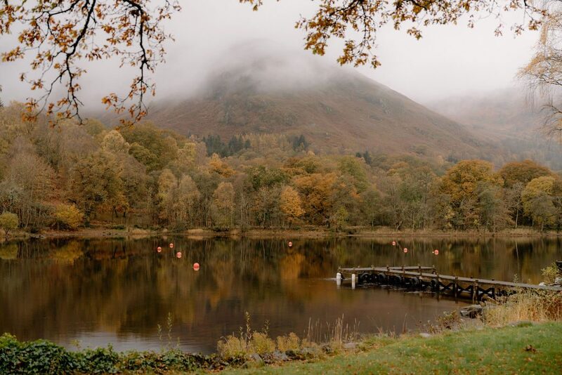 1 min by roadThings to doLoch EarnA seven-mile loch on the eastern edge of the national park, between Lochearnhead and St Fillans, known for watersports and trout.
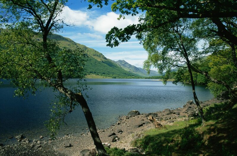 14 min by roadThings to doLoch Voil and Loch DoineTwo lochs in the Braes of Balquhidder, Rob Roy's country, with his grave at the kirk at the foot of Loch Voil.
Places to stay near the walk
Our places to stay nearest the start, by road.
An advert · Balquhidder
Monachyle Mhor
A family hotel in a pink farmhouse on its own 2,000-acre farm above Loch Voil in Balquhidder, where dinner is lamb off the hill and the family's own beef and pork.
17 minutes by road
See Monachyle Mhor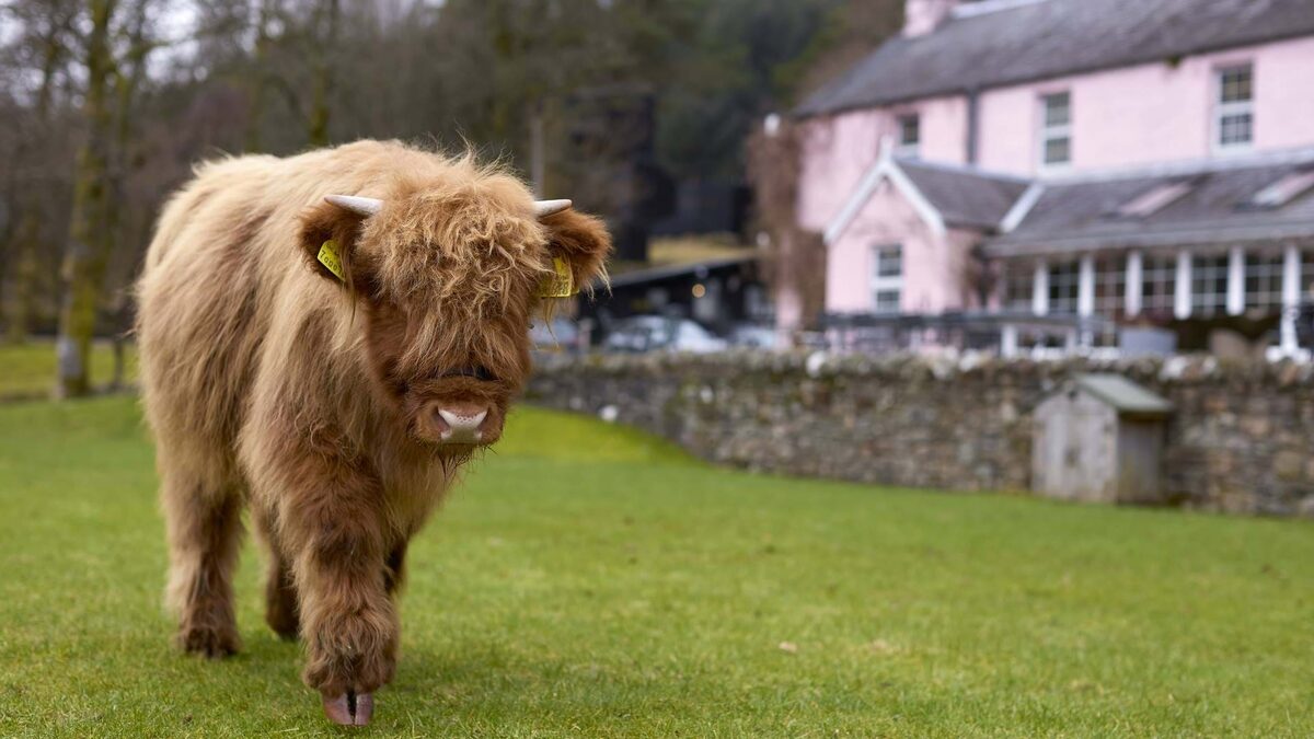
More places to stay near the walk
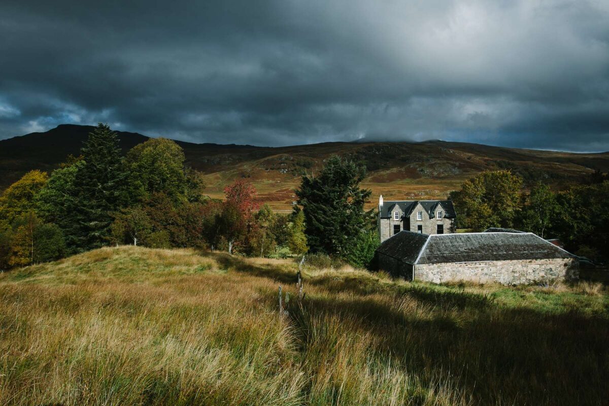
More walks near here
Within a short drive of the start.
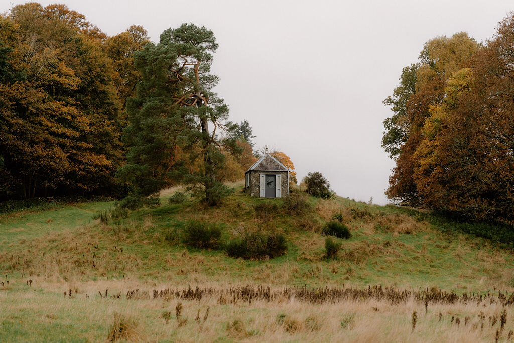 16 min by roadA walkComrie4 miles, 2 to 2½ hours
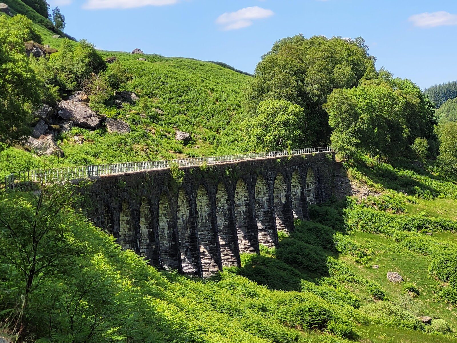 8 min by roadA long dayGlen Ogle6 miles, about five hours
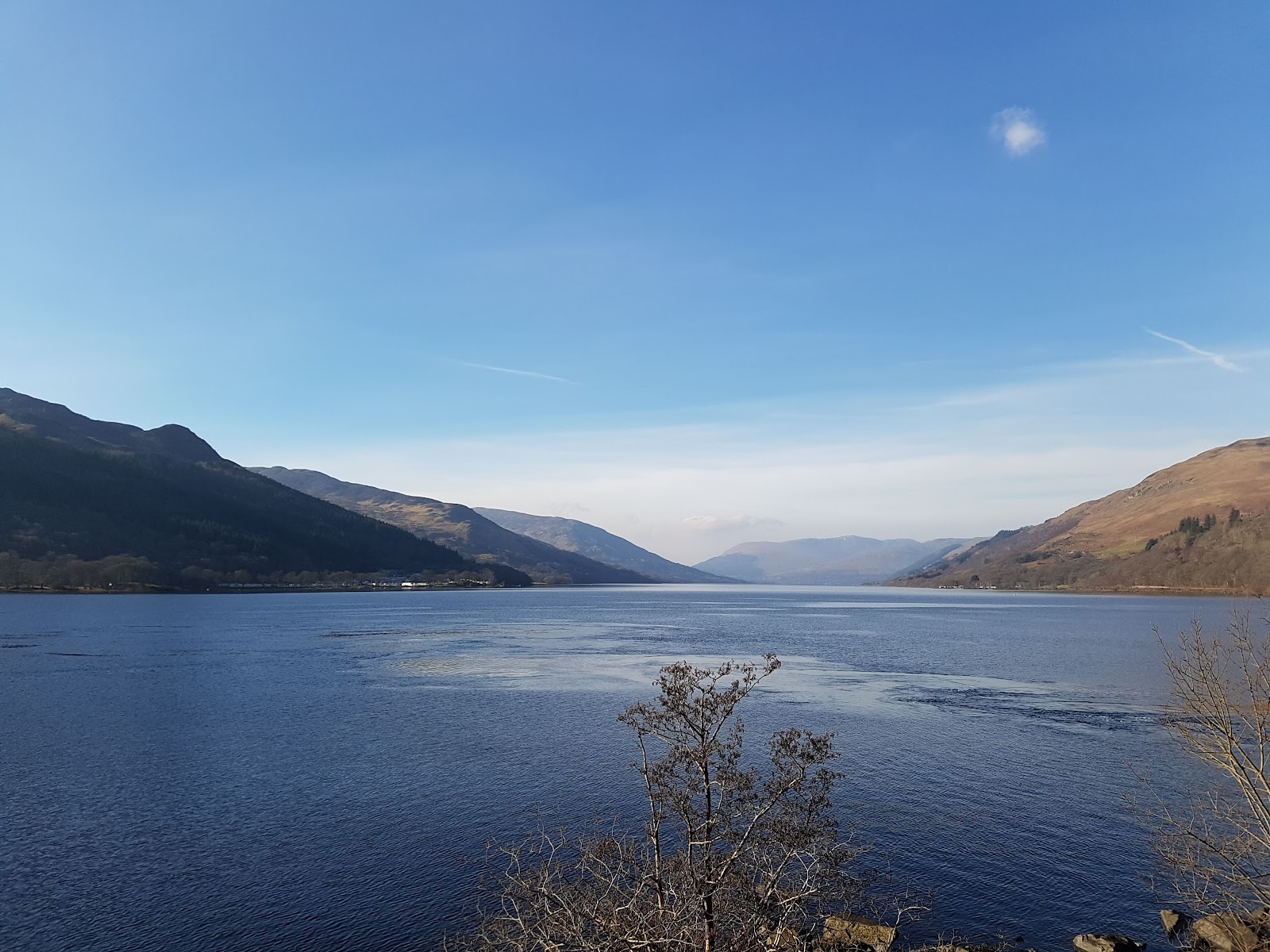 11 min by roadA long daySt Fillans8 miles, about four hours
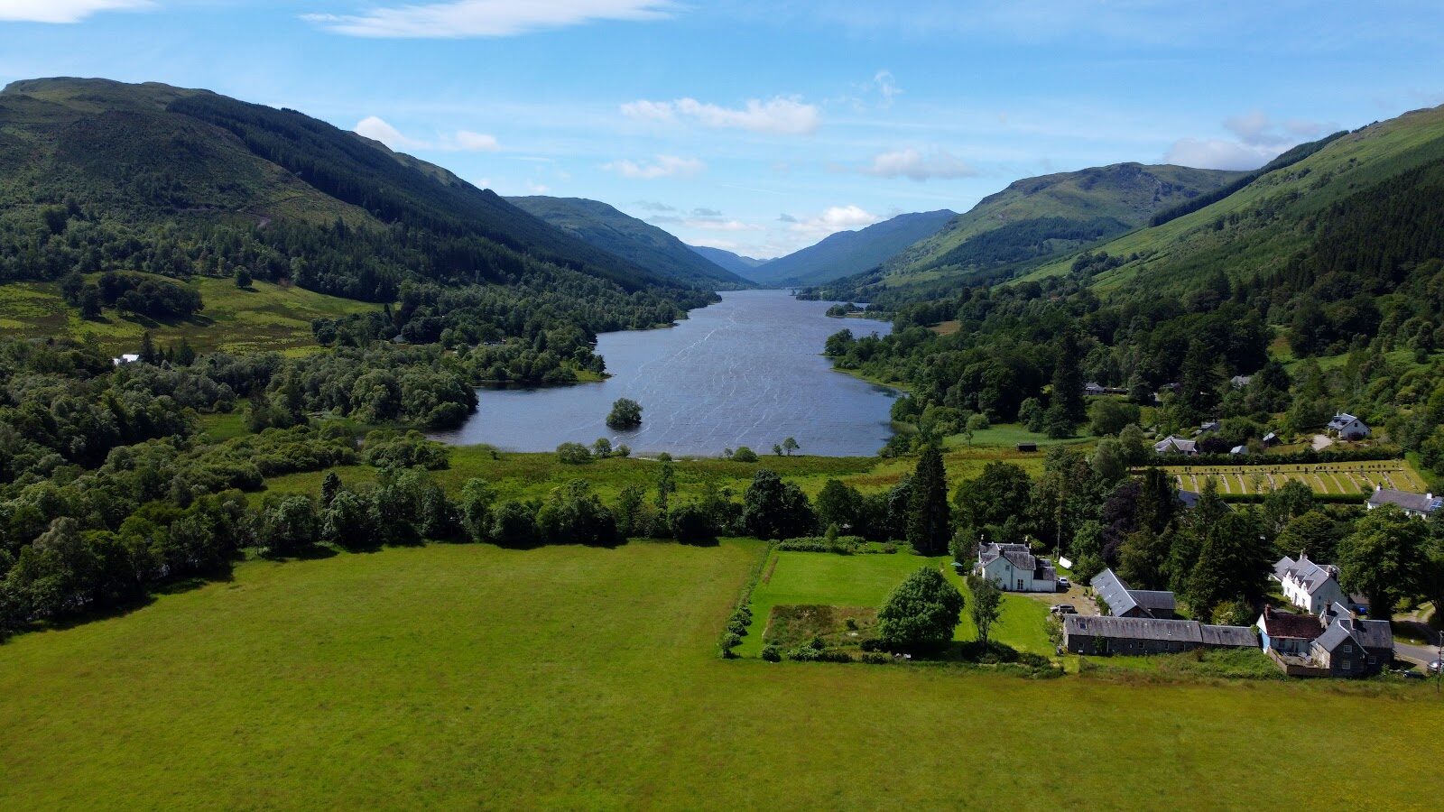 11 min by roadA hillCreag an Tuirc2½ miles, about three and a half hours
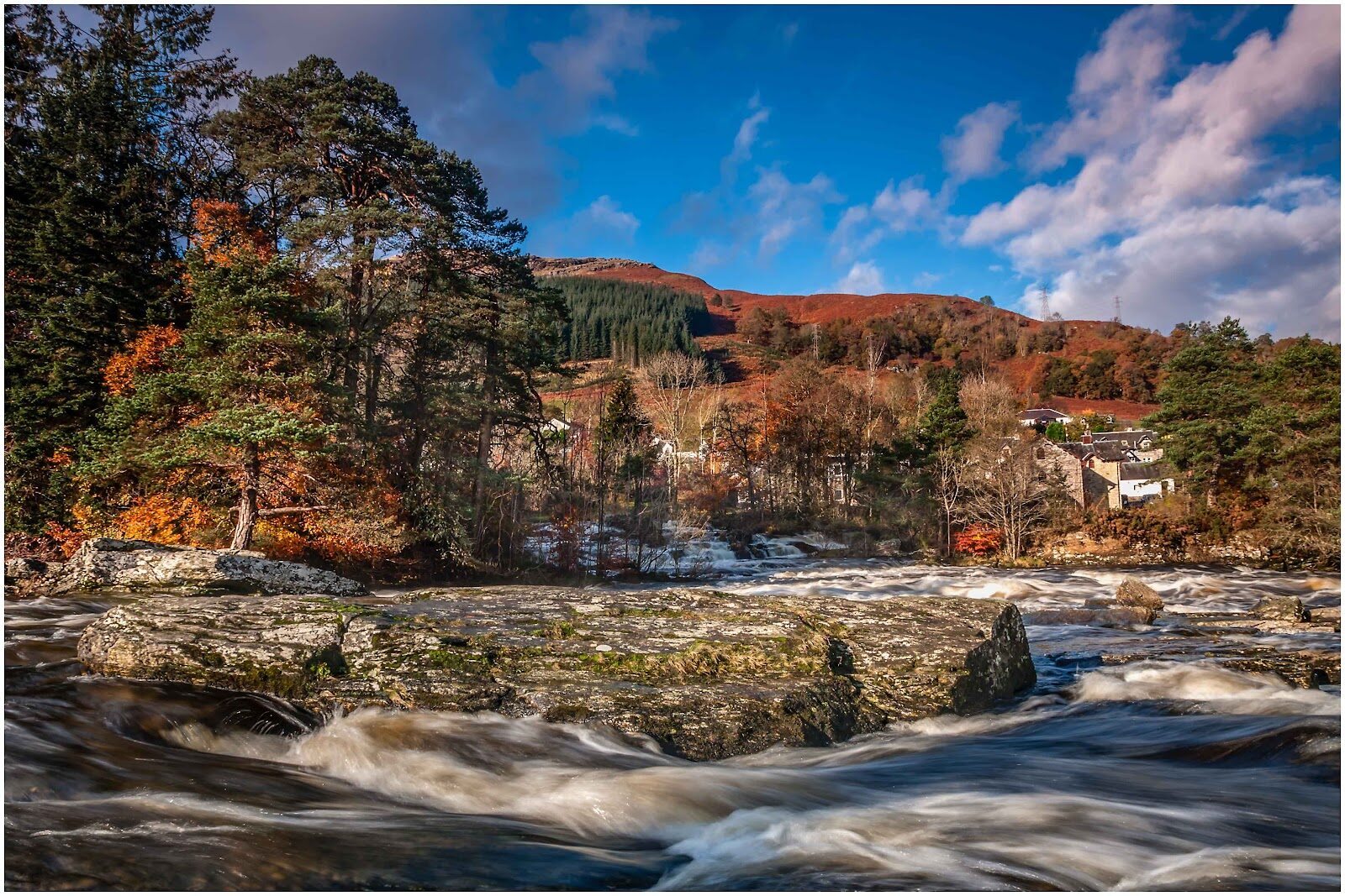 19 min by roadA walkKillin2½ miles, about three and a half hours
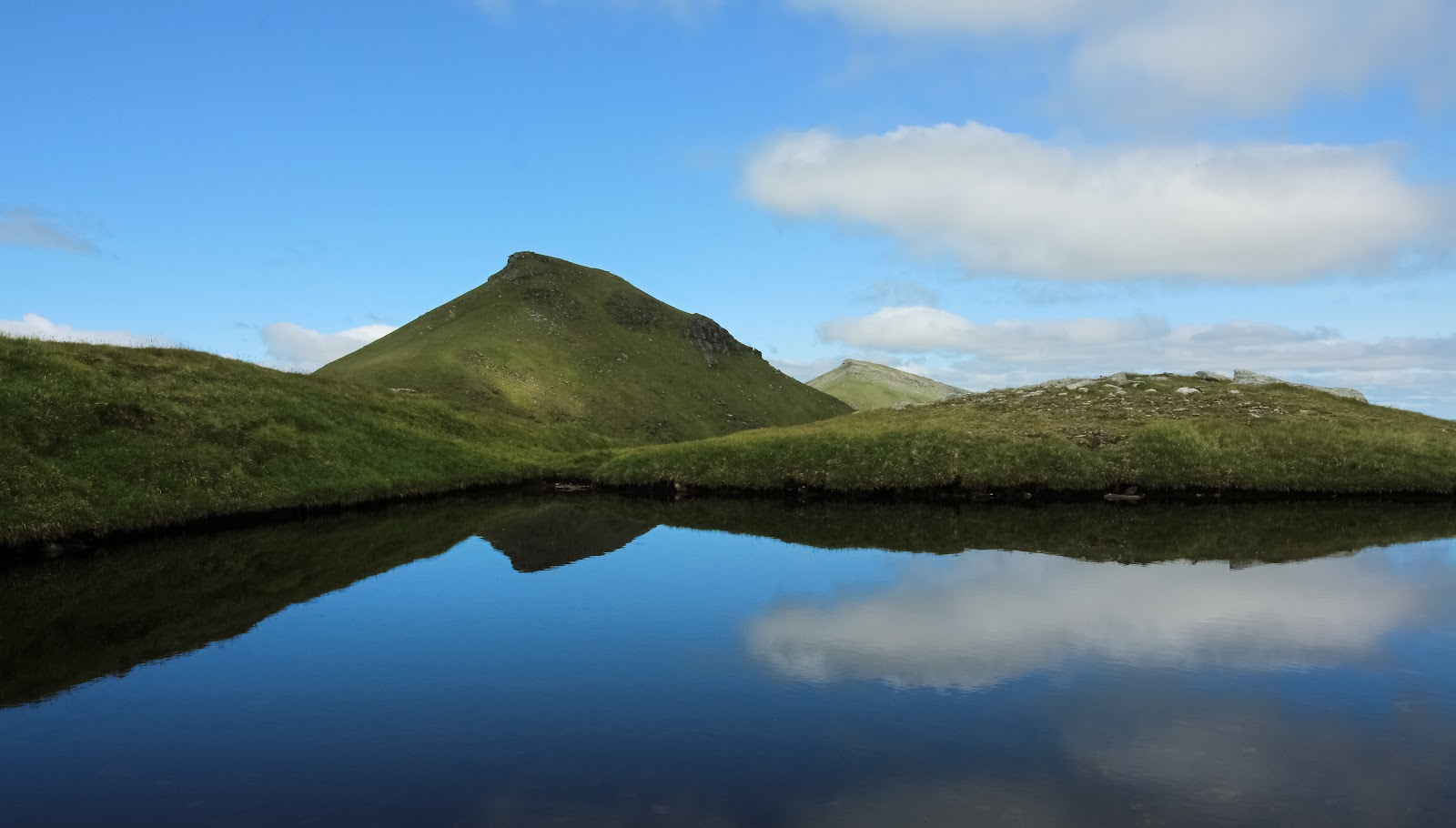 19 min by roadA hillStob Binnein6 miles, about 5 to 6 hours
Did this walk?
Tell the next person how it went. The best go on this page, with your name.
Find out more
For further reading, before you go.
- Five easier Munro walks, Loch Lomond and The Trossachs National Parklochlomond-trossachs.org↗
- Loch Earn, Loch Lomond and The Trossachs National Parklochlomond-trossachs.org↗
- The Loch Earn Code: parking and the narrow roads, Loch Lomond and The Trossachs National Parklochlomond-trossachs.org↗
- Respect the landscape: emergencies, dogs, livestock and stalking, Loch Lomond and The Trossachs National Parklochlomond-trossachs.org↗
- Mountain access and safe hillwalking, Forestry and Land Scotlandforestryandland.gov.scot↗
- Safety and skills, Mountaineering Scotlandmountaineering.scot↗
- The Southeastern Highlands mountain forecast, the Mountain Weather Information Servicemwis.org.uk↗
- The West Highlands mountain forecast, the Mountain Weather Information Service (the Munro pack gives both areas)mwis.org.uk↗
- Ben Vorlich summit forecast, the Met Officeweather.metoffice.gov.uk↗
- Avalanche forecasts, Scottish Avalanche Information Servicesais.gov.uk↗
Photograph by Michael Bolton via Google
Maps from OpenFreeMap © OpenMapTiles, data © OpenStreetMap contributors; heights from Mapzen's terrain tiles.