
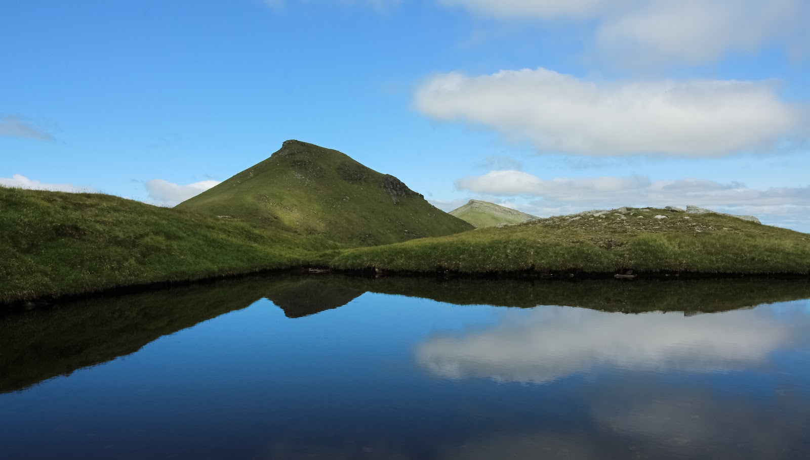
Stob Binnein – Up the South Ridge from Balquhidder Glen
6 miles · 5 to 6 hours · a hill · there and back
free parking
Stob Binnein rises to 1,165 metres at the head of Balquhidder Glen, beside Ben More, and this is the way up it on its own.
From the car park at the road end at Inverlochlarig, a path climbs the long south ridge, over the top of Stob Coire an Lochain to the summit, and comes back down the same way. It is about 9.7 km (6 miles) there and back by our map, with about 1,060 metres of climbing, and it takes about 5 to 6 hours. The national park's own way starts from Benmore Farm on the A85 and goes over Ben More first. There are no waymarkers out on the hill, so it is a day for walkers who can find their way with a map and compass.
Where it starts
Inverlochlarig farm's free car park and picnic area at the end of the public road, with an information board and a stone shelter.
Is it for me?
Tap who is coming, or the day you have, for the answer on this walk.
Before you go
Getting there
From the A84 between Strathyre and Lochearnhead, turn west at the junction beside Mhor 84 and follow the narrow, winding single-track road through Balquhidder and along Loch Voil and Loch Doine, about 12 km to its end at Inverlochlarig. Start early enough to be down in daylight.
On the path
About 5 to 6 hours there and back: about 9.7 km (6 miles) and about 1,060 metres of climb by our map, from the road end at Inverlochlarig up the south ridge to the 1,165 metre summit and back the same way. A faint grassy path, steep at first, round rocky outcrops onto the south ridge, then a broad grassy crest and a rockier final climb, loose in places, to the 1,165 metre summit. A Munro of 1,165 metres and a whole day on a steep, rough hill path: for older children used to hill days, with an adult who can navigate. The map to carry is OS Landranger 51, Loch Tay & Glen Dochart (1:50,000).
Good to know
All year in daylight, with a good forecast: the weather on the hill can change quickly, Forestry and Land Scotland says. Dogs a working hill farm with about 3,000 Blackface ewes and a herd of cattle, the farm says. Keep a dog under close control wherever there is livestock, the national park asks. Under snow it is a winter mountain: most call-outs in these hills come from slips on hard snow without crampons, Killin Mountain Rescue Team says, and no avalanche forecast covers Stob Binnein. The farm manages deer too: follow any signs at the start.
The walk
This is the way up Stob Binnein on its own, from the south. It is about 9.7 km (6 miles) there and back by our map, from the road end at Inverlochlarig in Balquhidder Glen to the summit and back the same way. Allow about 5 to 6 hours, more with stops or in poor weather. The climb is about 1,060 metres, much of it in the first two kilometres, where the slope is steepest. The national park says Stob Binnein is usually climbed with its neighbour Ben More, from Benmore Farm on the A85. That is a longer day over two Munros, and a different walk.
The walk starts from the car park at the end of the public road at Inverlochlarig. The farm there keeps it free for walkers, with a picnic area, and names Stob Binnein among the seven Munros climbed from it. To reach it, leave the A84 between Strathyre and Lochearnhead at the junction beside Mhor 84. Follow the narrow road west through Balquhidder and along Loch Voil and Loch Doine for about 12 km to its end. It is single track and winding, so give it time.
Before you set off, check the mountain forecast. Out on Scotland's hills there are no waymarkers or signposts, Forestry and Land Scotland warns, and the weather can change quickly. It is often colder and windier up there than in the glen. Wear good walking boots and carry warm, waterproof clothing, plenty of food and drink, and a torch in case the day runs long. Carry a map and compass and know how to use them, and do not rely only on a phone or GPS. Tell someone where you are going and when you will be back.
The way onto the hill is over a stile on the north side of the road, a few steps from the car park. Inverlochlarig is a working hill farm, with about 3,000 Blackface ewes, a herd of cattle and wild red deer, the farm says. Keep a dog under close control wherever there is livestock, the national park asks. Follow any signs at the start, since the land may be in use for deer management and farming.
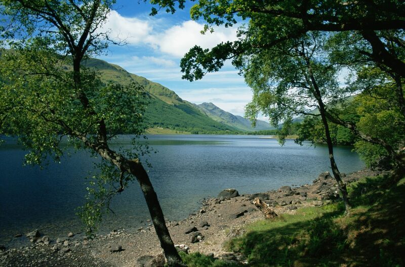
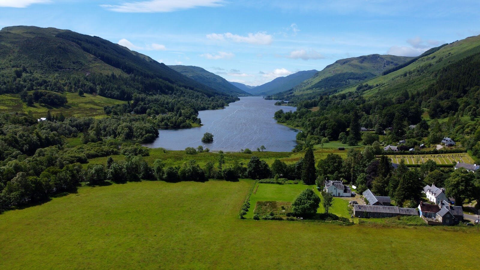
A faint path climbs the grassy lower slopes and soon steepens, zigzagging up towards Stob Invercarnaig, the shoulder at the south end of the ridge. Higher up the path grows clearer and winds round a few rocky outcrops. Look back as you climb for the view down over Loch Doine and Loch Voil.
Beyond Stob Invercarnaig the ridge widens into a broad grassy crest and the slope eases for a while. Then it climbs again to the top of Stob Coire an Lochain, Stob Binnein's southern top, where a small cairn stands by a tiny lochan. From there the path dips a little and climbs the last crest to the summit. This final stretch is rockier, with loose ground underfoot in places.
The crest is the place to decide. If the cloud is coming down, the wind is rising or anyone is tiring, turn back: Forestry and Land Scotland asks walkers to turn back if they get tired. Most call-outs in these hills come from people slipping on hard snow without crampons or losing their way in mist, Killin Mountain Rescue Team says. If you have not been trained to use a map and compass in poor visibility, it asks you to be ready to turn back early by a safe route. Under snow this is a winter mountain. No avalanche forecast covers Stob Binnein. The Scottish Avalanche Information Service forecasts six other areas, and that is no sign there is no risk here.
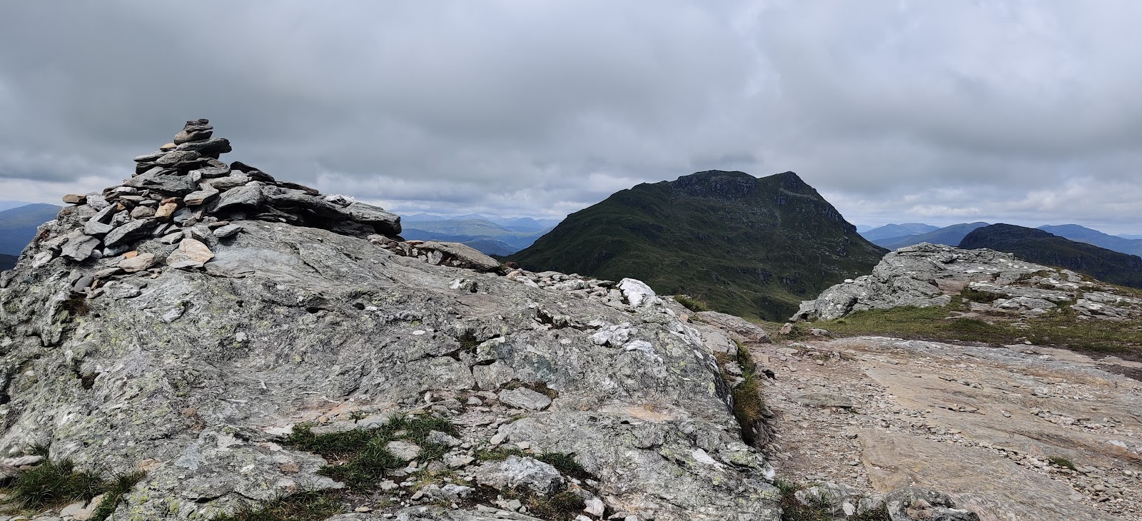
The summit is 1,165 metres, the national park says, with a small cairn and views all round. The Stob Binnein and Ben More Site of Special Scientific Interest holds rare upland plants, and the park names ptarmigan, golden eagles, red deer and mountain hares among what you may see. A path also leaves the top to the north, down to the pass under Ben More: that is not this walk. Go home the way you came, back over Stob Coire an Lochain and down the south ridge. In cloud, check the line with your map and compass before you leave the top. The way down to Inverlochlarig is steep, so leave plenty of daylight for it.
In an emergency, dial 999 and ask for the police, who will send help. Killin Mountain Rescue Team, whose volunteers cover these hills, gives the same advice. Tell them where you are as exactly as you can: the national park says a grid reference is very useful.
If it rains
None on this walk: in rain, low cloud or a high wind leave the summit for another day. There are no waymarkers out on the hill, and Forestry and Land Scotland asks walkers to turn back if anything looks unsafe.
After the walk
Something to do with the rest of the day, nearest the end of the walk first.
Places to stay near the walk
Our places to stay nearest the start, by road.
An advert · Balquhidder
Monachyle Mhor
A family hotel in a pink farmhouse on its own 2,000-acre farm above Loch Voil in Balquhidder, where dinner is lamb off the hill and the family's own beef and pork.
3 minutes by road
See Monachyle Mhor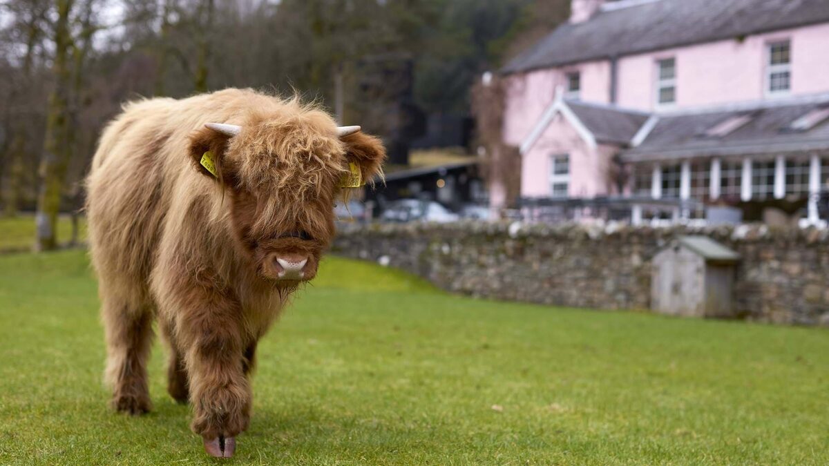
More walks near here
Within a short drive of the start.
Did this walk?
Tell the next person how it went. The best go on this page, with your name.
For further reading, before you go.
- Stob Binnein (1,165m), Loch Lomond and The Trossachs National Parklochlomond-trossachs.org↗
- Respect the landscape: emergencies, dogs, livestock and stalking, Loch Lomond and The Trossachs National Parklochlomond-trossachs.org↗
- Inverlochlarig, the farm and its car park for walkersinverlochlarig.co.uk↗
- Mountain access and safe hillwalking, Forestry and Land Scotlandforestryandland.gov.scot↗
- Killin Mountain Rescue Team, the volunteers who cover these hillskillinmountainrescue.scot↗
- The West Highlands mountain forecast, the Mountain Weather Information Servicemwis.org.uk↗
- The Southeastern Highlands mountain forecast, the Mountain Weather Information Servicemwis.org.uk↗
- Avalanche forecasts, Scottish Avalanche Information Servicesais.gov.uk↗
Photograph by Simon Watson via Google
Maps from OpenFreeMap © OpenMapTiles, data © OpenStreetMap contributors; heights from Mapzen's terrain tiles.