
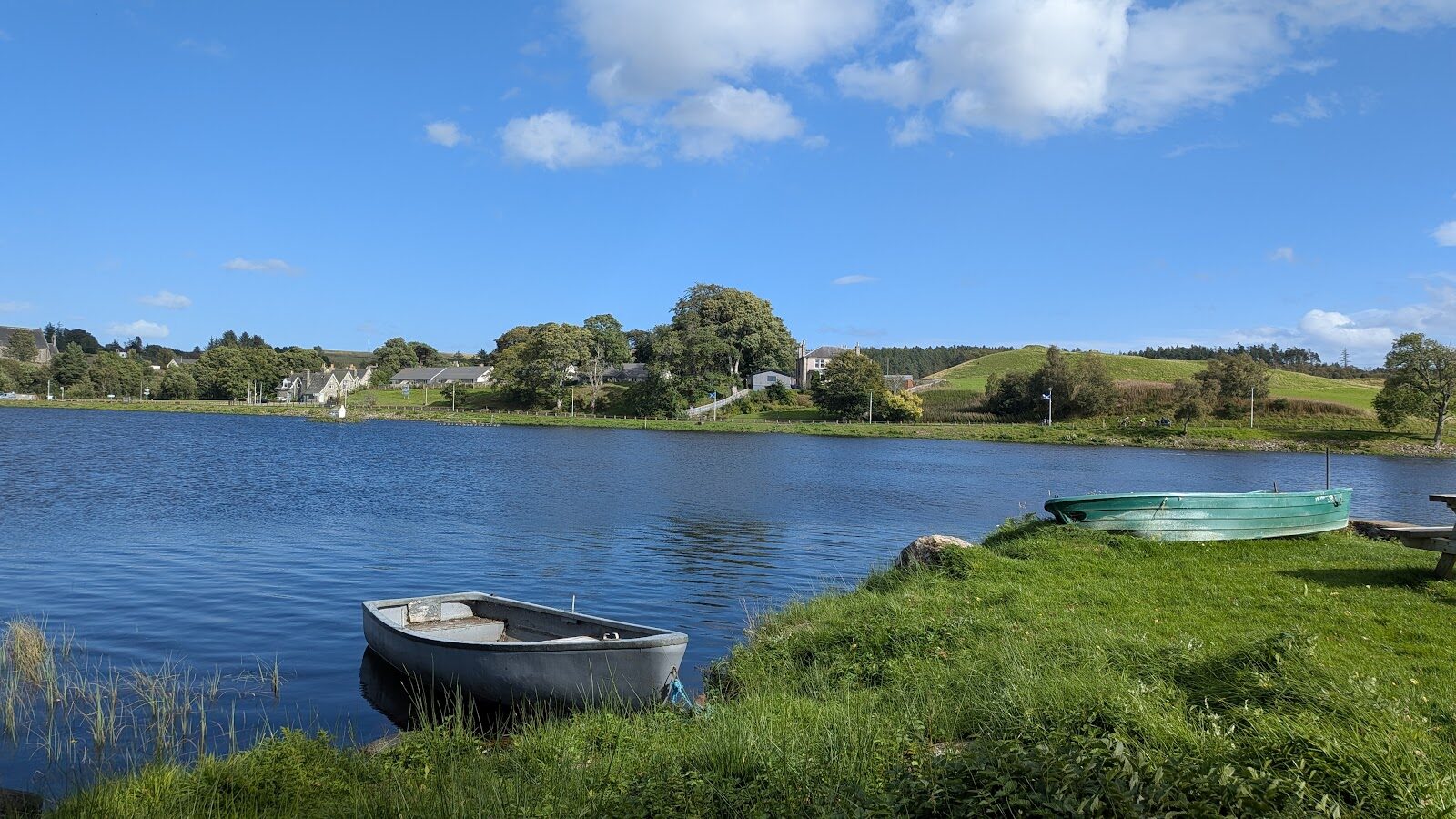
The Ord – A Hill of Hut Circles above Loch Shin
a hill · dogs welcome · toilets
Beside the loch at Lairg, a low heathery hill called the Ord is covered in the traces of people who farmed it three thousand years ago.
Waymarked trails start from the Ferrycroft Visitor Centre at its foot: an easy stroll by the water, a walk to the remains of a broch, a round stone tower, and a steeper climb over the hill itself. Do one, or put two together for a full morning.
Where it starts
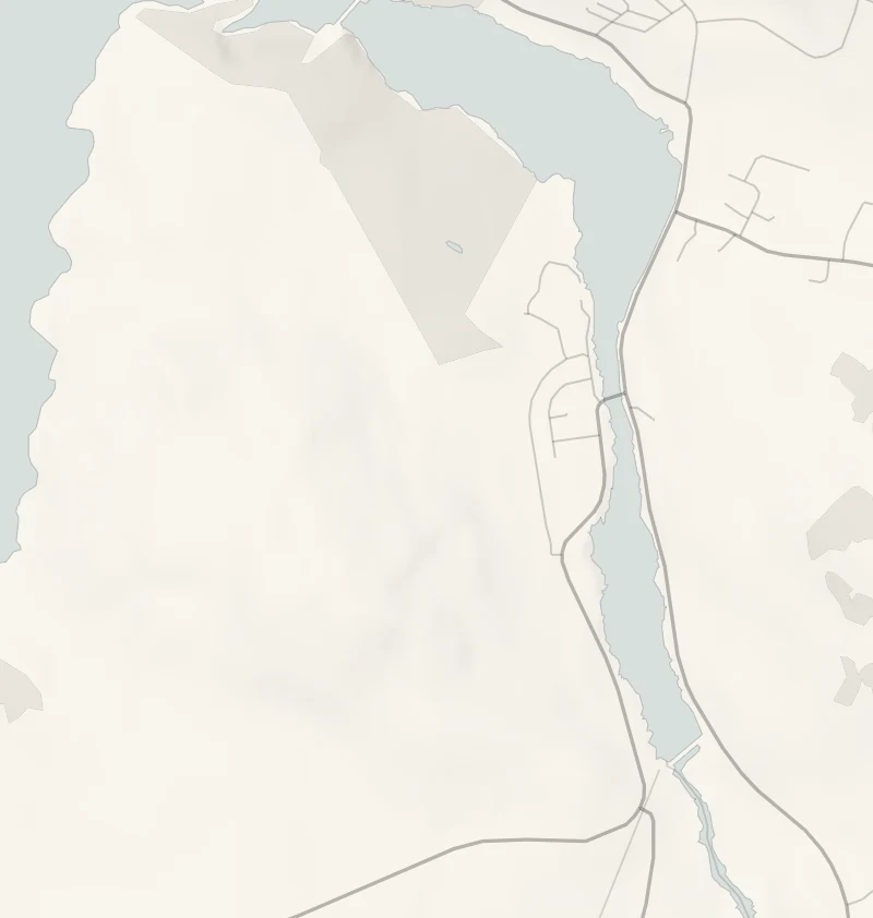
Start at the Ferrycroft Visitor Centre car park, Ord Place, Lairg, IV27 4AZ.
Is it for me?
Tap who is coming, or the day you have, for the answer on this walk.
Before you go
Getting there
Free, with Blue Badge spaces.
On the path
Half an hour to an hour a trail: the Lochside Trail is 1.7 km (1 mile) and easy, the Broch Trail 2.4 km (1.5 miles) and easy, and the Ord Hill Trail 2.7 km (1.75 miles) and strenuous. The Lochside Trail is wide, firm, level gravel with two gates, and suits a pushchair. The Ord Hill Trail is rough, narrow and steep. For children, a play area and a dipping pond at the visitor centre. Open water by the lochside paths.
Good to know
All year in daylight. The visitor centre keeps seasonal hours. From November to January, start the Ord Hill Trail by 1.30pm. Dogs under close control. Toilets at the visitor centre when it is open; otherwise in Lairg village. The Ord Hill Trail is rough, steep and muddy in places. Open water by the lochside paths.
The walk
Forestry and Land Scotland waymarks trails from the Ferrycroft Visitor Centre car park at Lairg. The Lochside Trail is 1.7 km and takes about half an hour, the Broch Trail is 2.4 km and about 45 minutes, and the Ord Hill Trail is 2.7 km and about an hour. The first two are graded easy, on wide, firm gravel. The Ord Hill Trail is graded strenuous: rough, narrow grass paths, long and fairly steep slopes, short stretches of boardwalk and mud in places, so wear boots. The walk's own page, Forestry and Land Scotland's, has a route card.
The Lochside Trail goes through the Ferry Wood pines to dragonfly ponds and the shore of Little Loch Shin, with picnic benches and a viewpoint over the loch. It is level and suits a pushchair. In summer the dipping pond is full of dragonflies.
The Broch Trail goes further into Ferry Wood to what is left of a broch, a round stone tower some two thousand years old, with a view of the Shin dam.
The Ord Hill Trail is the one with the story. Three thousand years ago a small farming community lived on this hillside, and the ground still shows their hut circles, field banks, burnt mounds and burial cairns. From the hill you look over Lairg and Loch Shin to Ben Klibreck.
The visitor centre, run by High Life Highland, has a coffee shop, a play area and a pond for dipping, but it keeps seasonal hours, so ring 01549 470290 before counting on it in the colder months. The trails are open whether the centre is or not. There's open water beside the lochside paths, so keep small children close.
If it rains
The Lochside Trail is firm and level and fine in a shower. The Ord Hill Trail is muddy and open to the wind, so keep the hill for a drier day.
After the walk
Something to do with the rest of the day, nearest the end of the walk first.
With the rest of the day
 1 min by roadThings to doLairgA small village at the foot of Loch Shin, the crossroads of the far north, with a railway station, shops and places to stay.
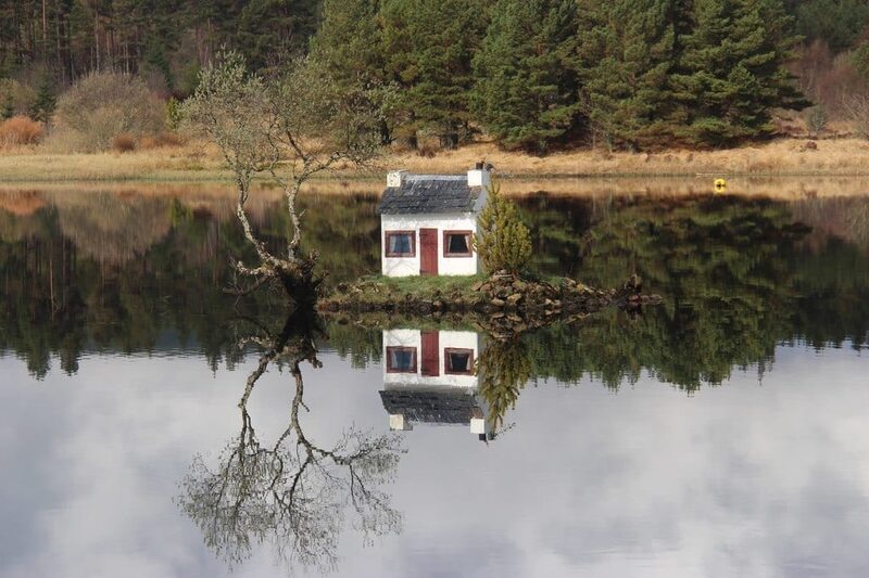 1 min by roadThings to doThe Wee HooseA tiny white cottage on an islet in Little Loch Shin at Lairg, made for the village gala and now a much-loved landmark with a tall tale attached.
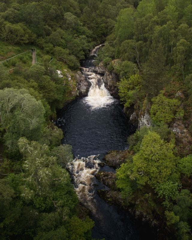
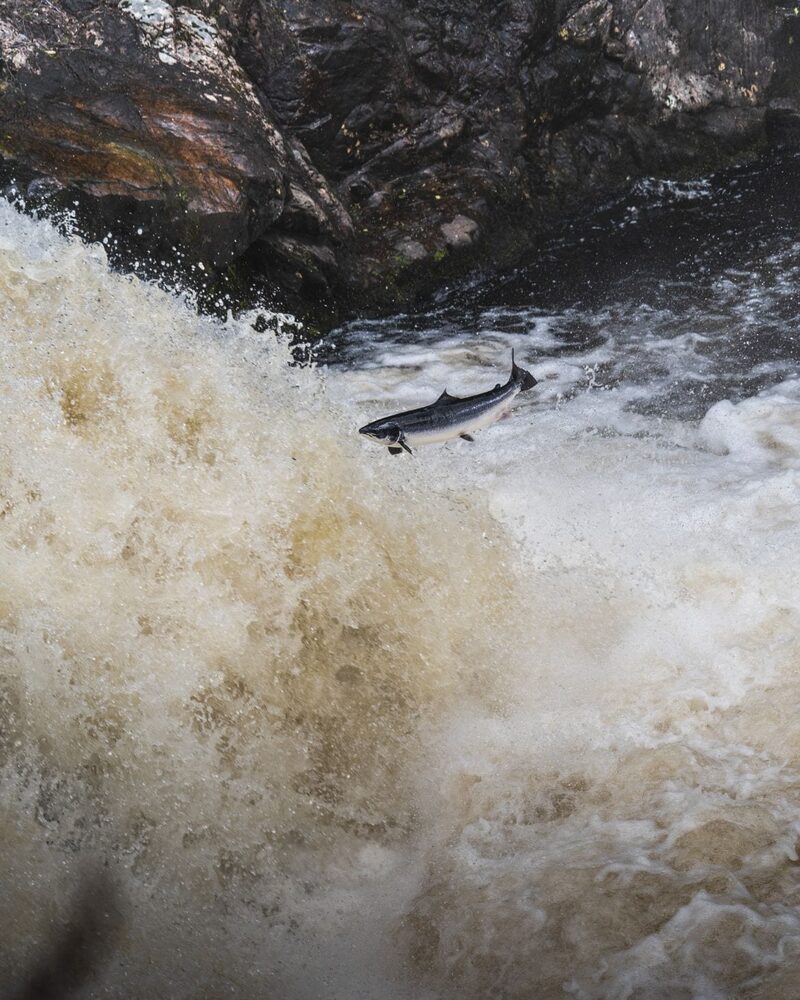 8 min by roadThings to doFalls of ShinA waterfall on the River Shin near Lairg where salmon leap in summer, with woodland walks, a play park and a cafe.
Places to stay near the walk
Our places to stay nearest the start, by road.
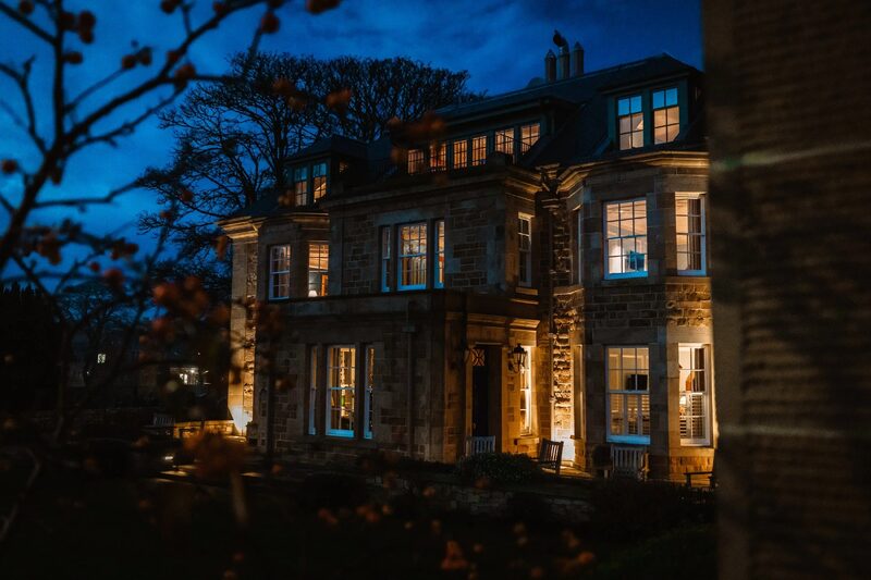
None of ours is close to the start. The nearest is Links House at Royal Dornoch in Dornoch, 22 miles from the start. An advert.
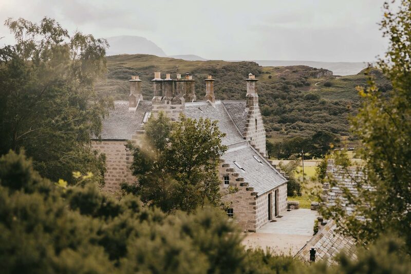
Then Lundies House in Tongue, 38 miles from the start. An advert.
More walks near here
Within a short drive of the start.
Did this walk?
Tell the next person how it went. The best go on this page, with your name.
Find out more
For further reading, before you go.
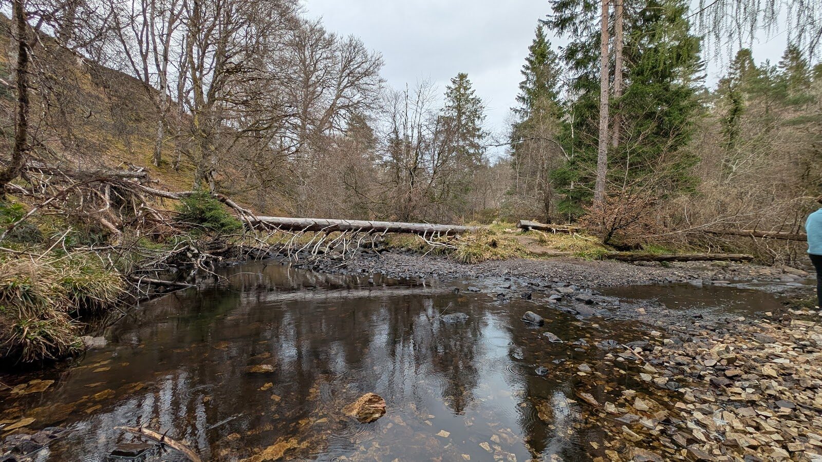
Photograph by Oriana Palivan via Google
Maps from OpenFreeMap © OpenMapTiles, data © OpenStreetMap contributors; heights from Mapzen's terrain tiles.