
The Point of Sleat – Skye's Southern Tip and Camas Daraich
About 5.3 miles on foot.
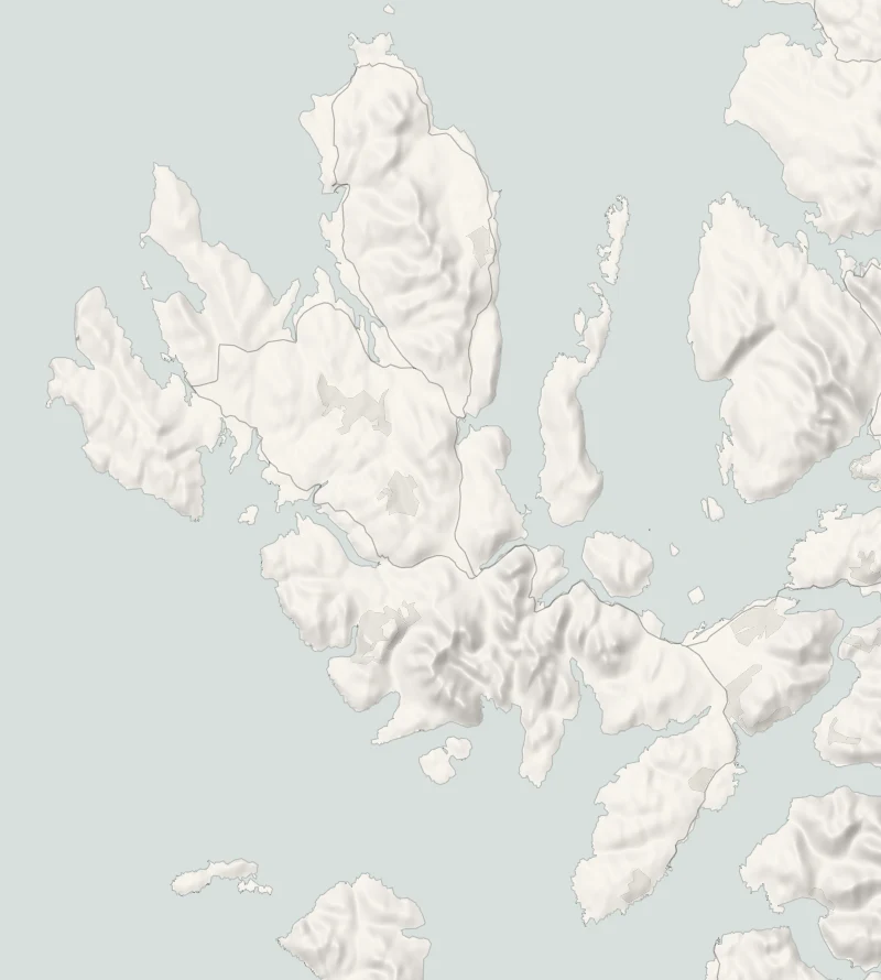
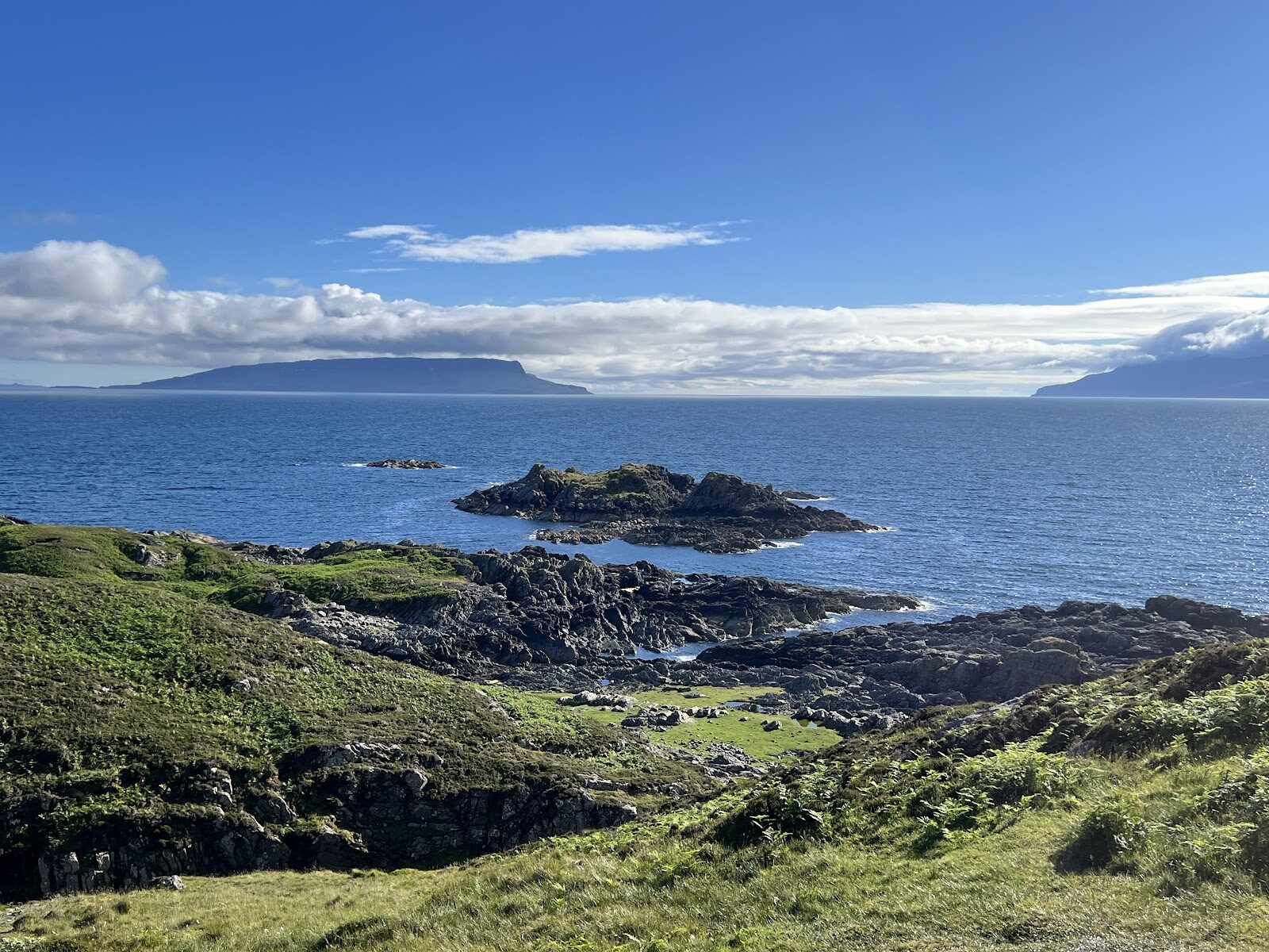
The Point of Sleat is the southern tip of Skye, a rocky point with a small automatic light, looking out to Eigg, Rum and Ardnamurchan.
The walk to it from the road end at Aird of Sleat is 8.5 km there and back on a rough track and a moorland path. Near the end a side path drops to Camas Daraich, a small bay of pale sand.
- Time
- Three to four hours: 8.5 km there and back, with 400 m of climbing in its ups and downs. A long walk on a rough track and a moorland path.
- The path
- A rough track with one steep climb, then a moorland path between bracken, wet in places.
- Where to start
- The free car park at the very end of the Aird of Sleat road, beyond Ardvasar. Space is limited: never block the track or the working sheep pen.
- Set off
- From November to January, set off by 11.30am to be back in daylight.
- When to go
- All year in daylight. From November to January set off by 11.30am.
- Dogs
- On a short lead, for the sheep and ground-nesting birds.
- Children
- A long, rough walk for small legs.
- Toilets
- None on the walk or at the road end.
- Before you set out
- The track is a private access road serving the houses beyond: you may meet vehicles. Camas Daraich is at its best near low tide; a very high tide covers the sand.
The walk
Park in the car park at the very end of the Aird of Sleat road, beyond Ardvasar. It's free, but space is limited and it's really an extended farmyard. The Sleat community asks drivers to park considerately and never to block the track or the working fank, the sheep pen. The last stretch of road is single-track, and there's no bus. Walkhighlands gives the walk as 8.5 km there and back, with 400 metres of climbing in all its ups and downs, and allows three to four hours.
A rough private track does most of the work, with one steep climb. It serves the houses beyond, so you may meet a vehicle. Look back from it over the crofts of Aird to Knoydart and Mallaig. A moorland path between bracken finishes the job, and it's wet in places: wear boots. At the pass a marker post shows where a path drops about 150 metres to Camas Daraich, a small bay of pale sand and clear green water.
It's at its best near low tide, and a very high tide covers the sand altogether. The point itself is bare rock and grass with a small automatic light, and Eigg and Rum fill the sea beyond it. Keep dogs on a short lead, for the sheep and for ground-nesting birds. There are no toilets, no shelter and nowhere to eat on the walk or at the road end, so bring food, water and waterproofs. From November to January, set off by 11.30am.
If it rains
There's no shelter anywhere on the walk and the moorland path is slow when wet. It's a walk for a dry, clear day, when the islands show.
Before you go
Book accommodation nearby
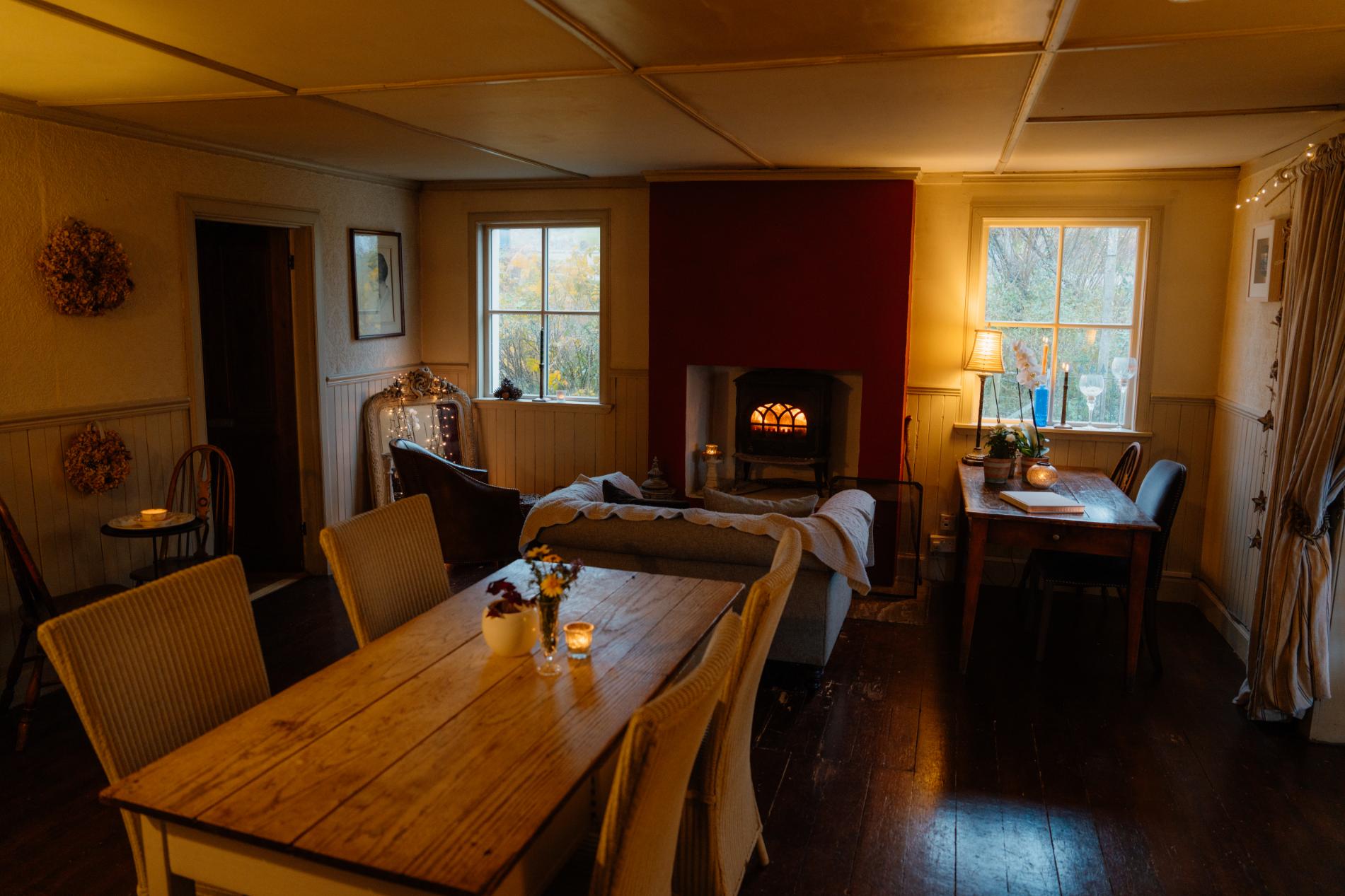
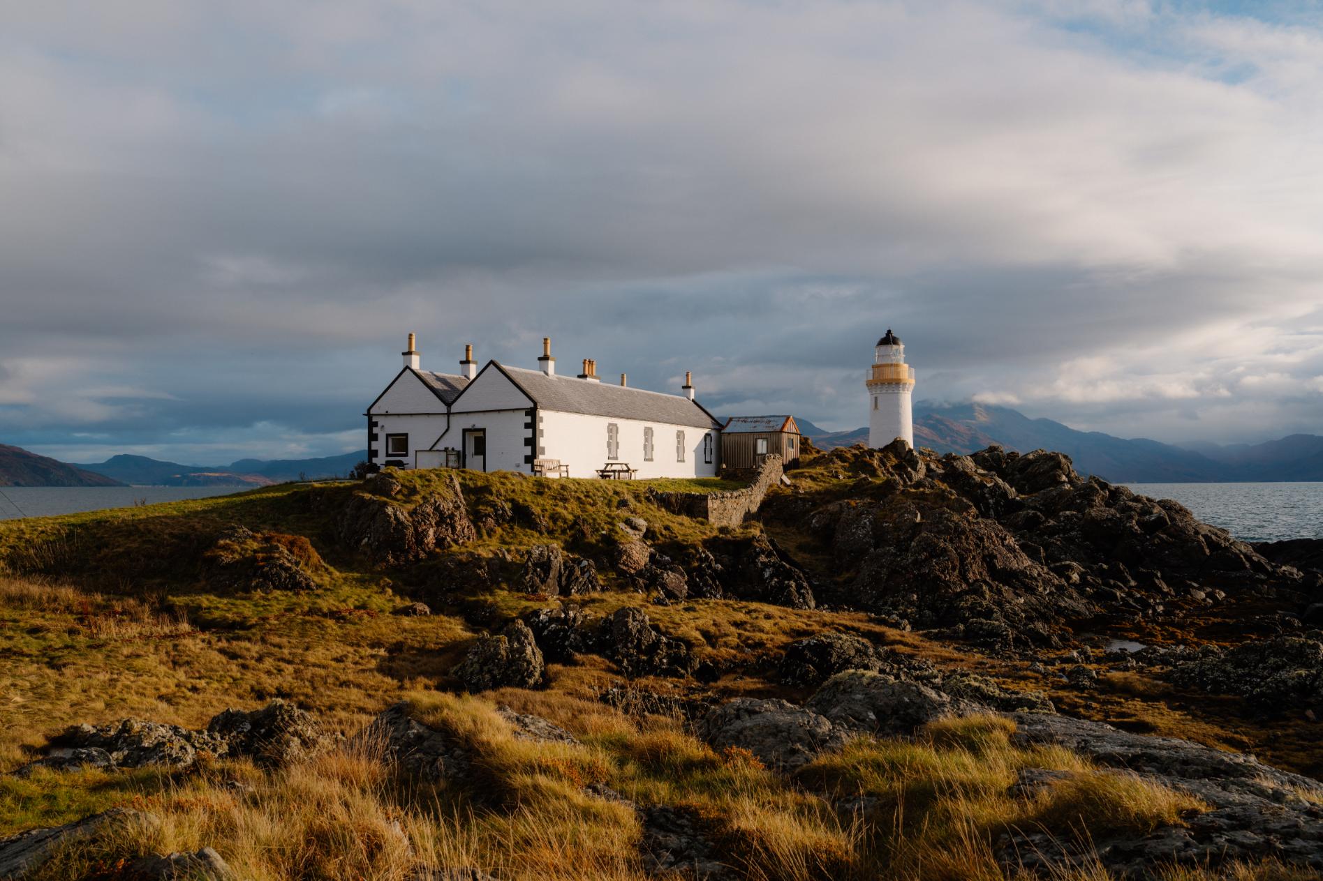
If you are staying over: here are ours nearest where the day starts and ends.
For further reading, before you go.
Photograph by Thijs Heijnsdijk via Google