
Divach Falls – On Foot to a 100-Foot Fall in the Oaks
5 miles · 2 hours · there and back
toilets
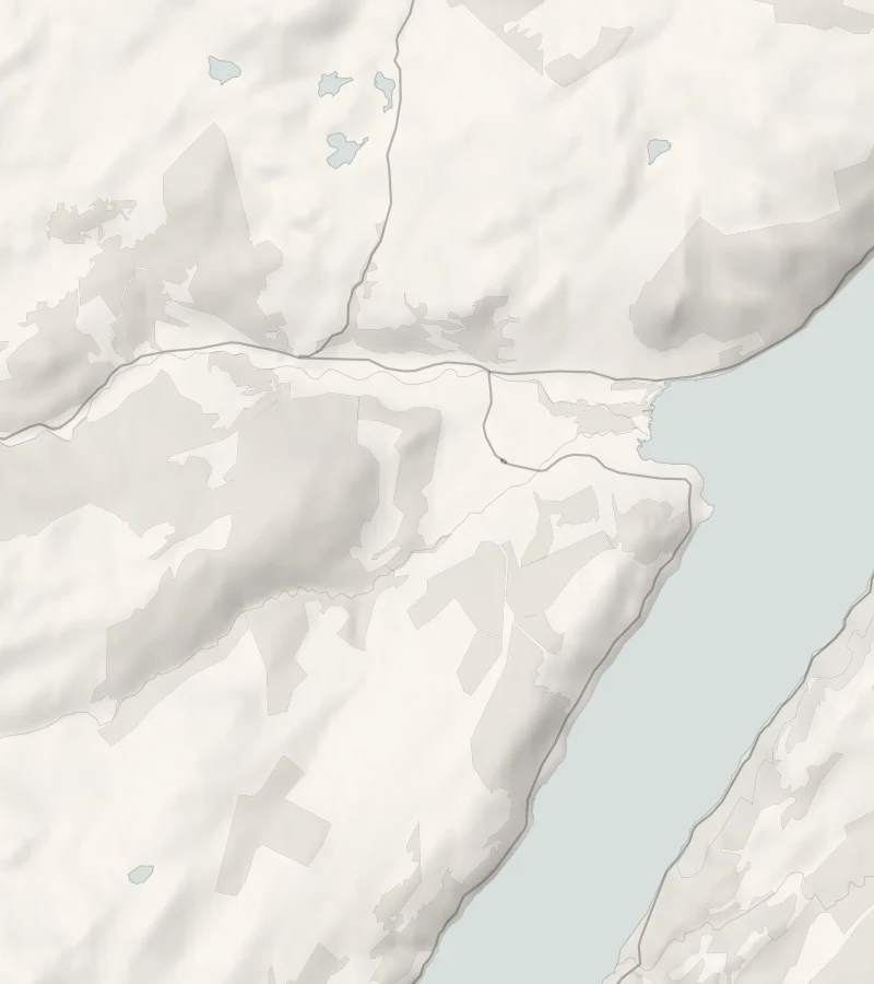
Divach Falls is in an oakwood in the hills behind Drumnadrochit, the village at the head of Urquhart Bay on Loch Ness.
This walk climbs to it from the village and comes home another way.
Is it for me?
Tap who is coming, or the day you have, for the answer on this walk.
Before you go
On the path
About two hours: 6 km (about three and three-quarter miles) there and back from the village, graded easy, with a steady climb of about a mile on a quiet road. Village streets, a woodland path, a single-track road that climbs for about a mile, then an earth path through oakwoods to a viewing platform. A fair climb for small legs. Keep children close at the platform and by the burn.
Good to know
All year, in daylight. Toilets in Drumnadrochit; none at the falls. There is open water at the falls.
The walk
This is the Highland Council's walk from Drumnadrochit to Divach Falls, a round of 8 km, about 5 miles, from the village and back in about three hours. It goes on pavements, woodland paths, a minor road that climbs for about a mile, and an earth path through oaks. The walk's own leaflet has a map of it.
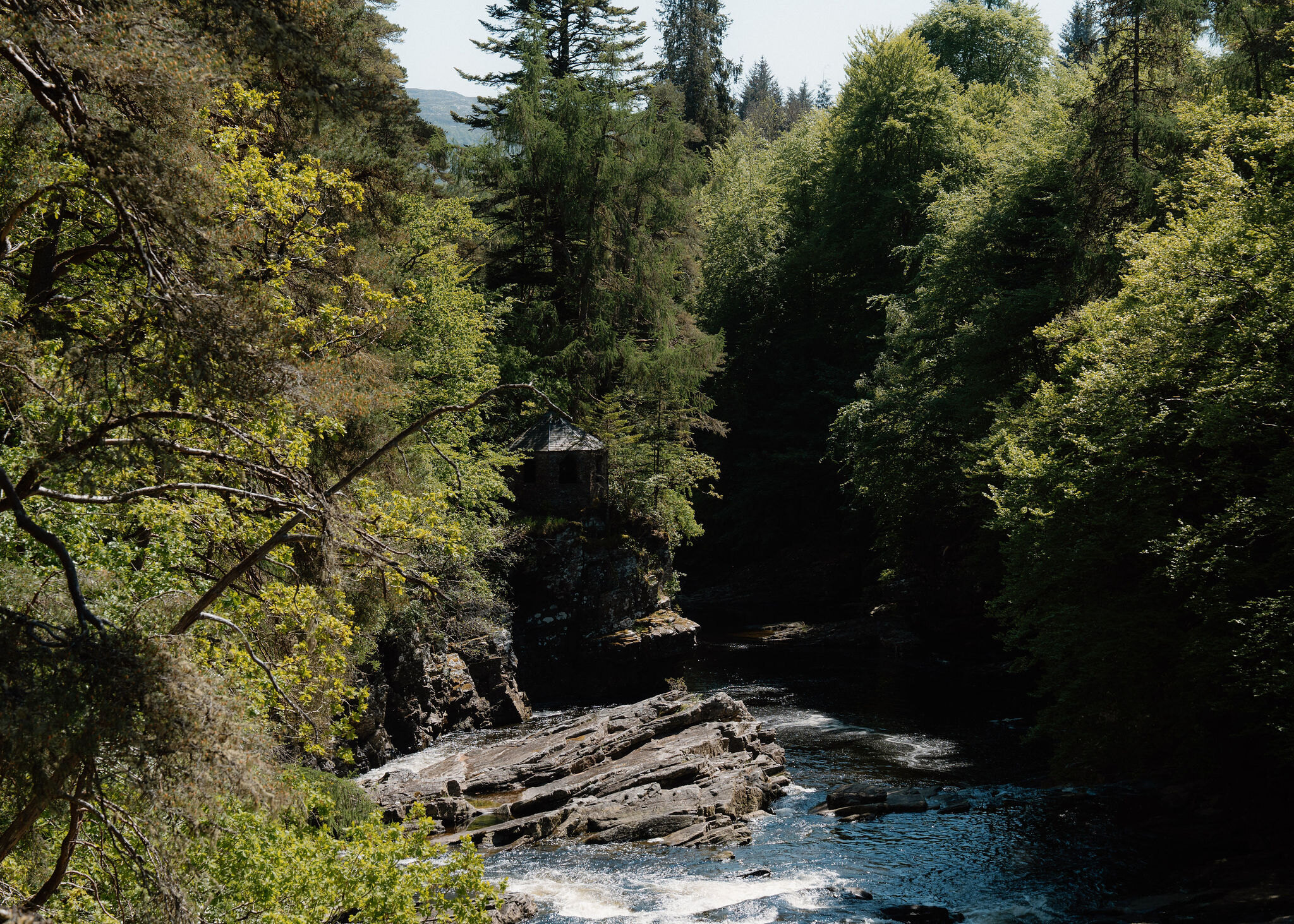
The way out runs along the foot of Craigmonie, the wooded crag above the village, named after Monie, a Norse prince of the 11th century. The story goes that he hid on the crag after the Norsemen lost a battle with the people of the glen, then fled up Glen Urquhart and was killed at Corrimony. Look out for red squirrels in these old woods.
The path leads towards the site of Balmacaan House, once the seat of the Earls of Seafield's Glen Urquhart estate, let in the 1880s to a New York millionaire as his summer house. From there the road runs beside the River Coiltie, then crosses it and climbs.
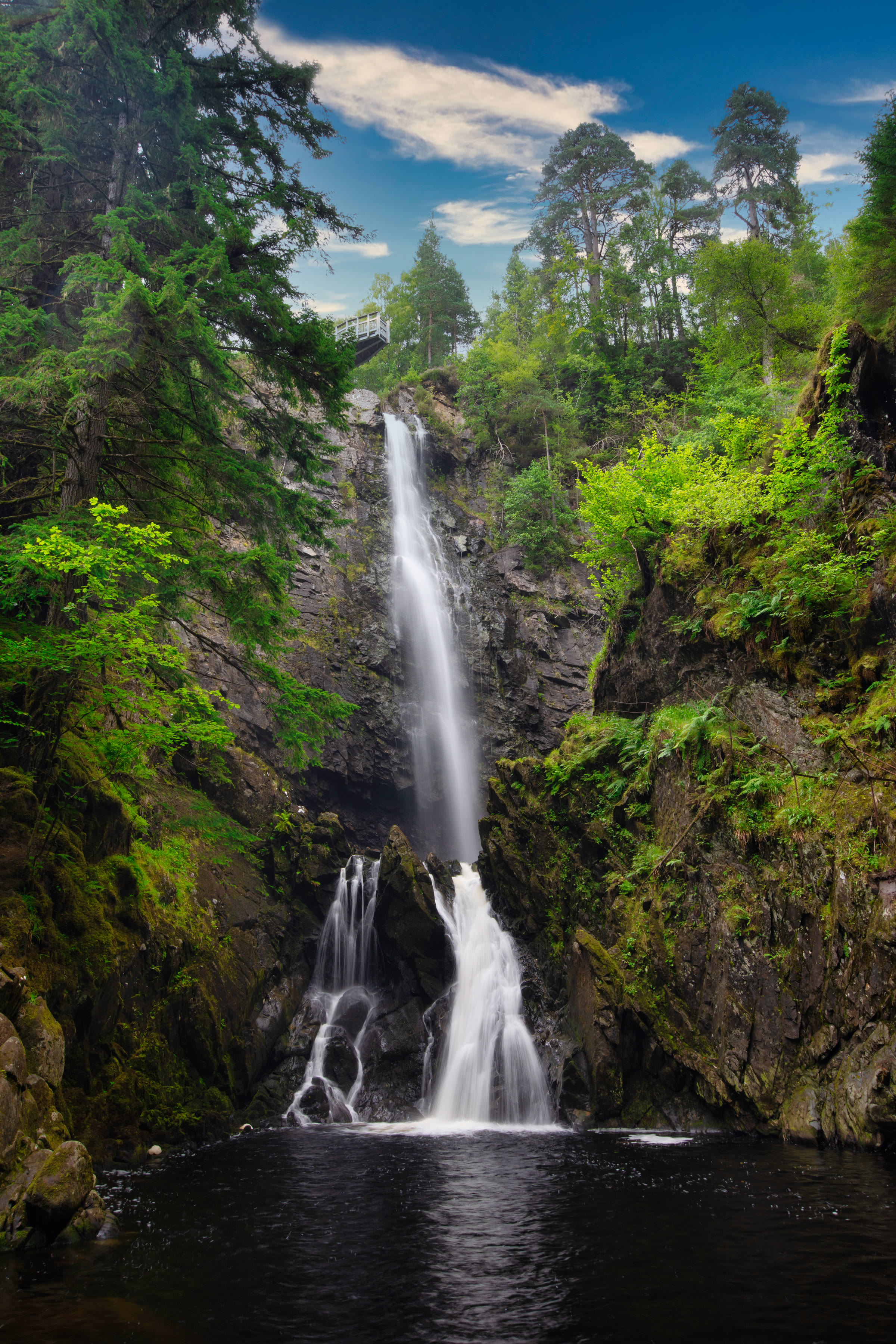
From the falls car park an earth path runs down through ancient oaks, full of birdsong in spring, to a viewing platform. The water drops 100 feet down a rock face into the Divach Burn. The falls were among the first sights that brought tourists here: they landed from boats at Temple Pier and were taken up to see them.
Home is through Lewiston, a village laid out in 1769 to give the estate's people better homes, its houses set along the river so that each had water close by.
In October 2026 the road to the falls car park was closed to vehicles after a landslide, and Forestry and Land Scotland's notice said walkers could still reach the falls from the village. Check the notice before going, and follow the safety signs.
The falls make a good place for a picnic, so carry a flask. Back in the village, Fiddler's on the green serves lunch: book in summer, and check its hours in winter. The public toilets in the village centre stay open all year; there are none at the falls.
If it rains
In rain the oaks give some shelter at the falls, but the hill road is open to the weather: wear boots.
After the walk
Something to do with the rest of the day, nearest the end of the walk first.
With the rest of the day
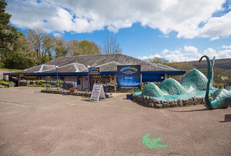 1 min by roadThings to doThe Nessie HunterHourly cruises on Loch Ness from Nessieland in Drumnadrochit, a small boat with local skippers, a sonar screen and a close look at Urquhart Castle.
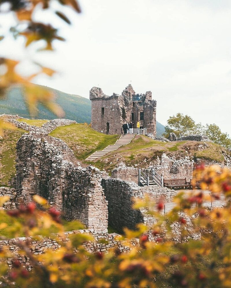 7 min by roadThings to doUrquhart CastleThe ruins of a castle that was once among Scotland's largest, on a headland over Loch Ness, with the Grant Tower to climb and a café on site.
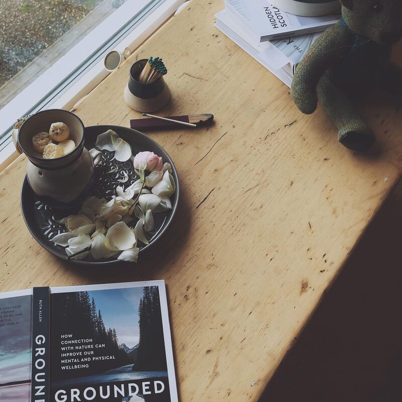 11 min by roadA shopMade in the GlenA shop in Glen Urquhart near Loch Ness run by three sisters, selling their own natural soaps, skincare, watercolours, wooden bowls and Highland gifts.
Places to stay near the walk
Our places to stay nearest the start, by road.
An advert · Struy
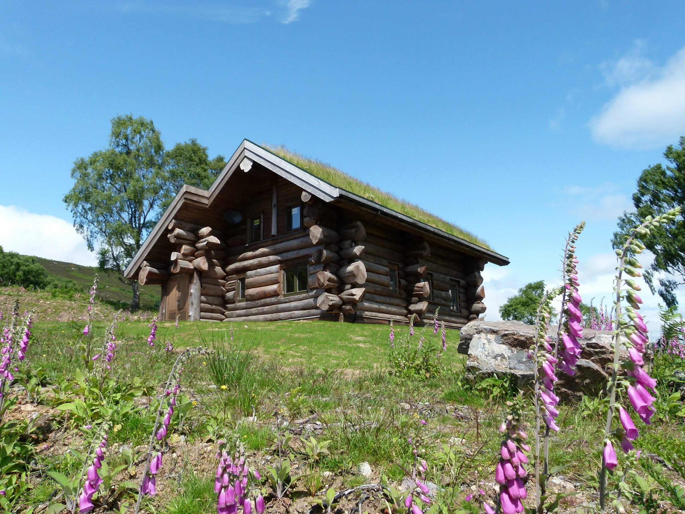
Certhia at Eagle Brae
A cedar log cabin for up to four on a ridge above Eagle Brae in Strathglass, with a sauna, a freestanding bath and the whole glen below.
Sleeps 4 · 30 minutes by road
See Certhia at Eagle Brae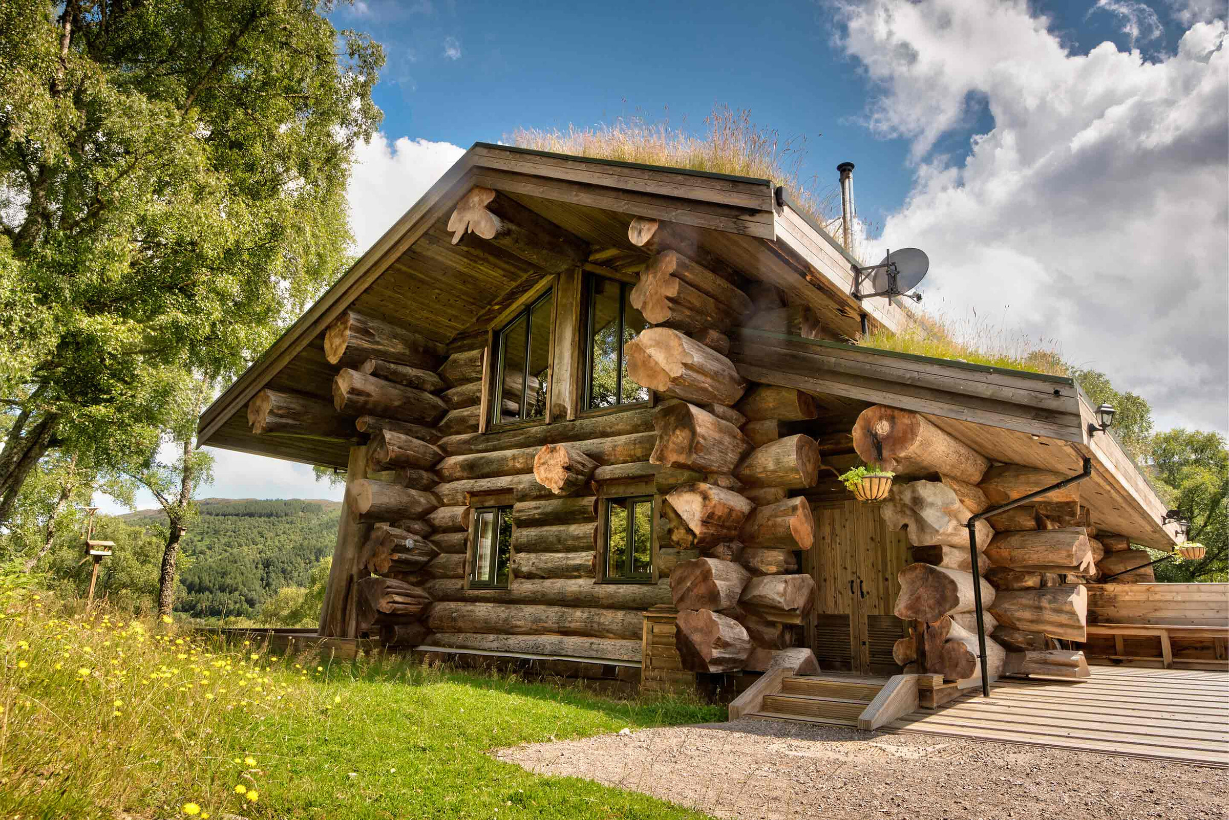
More places to stay near the walk
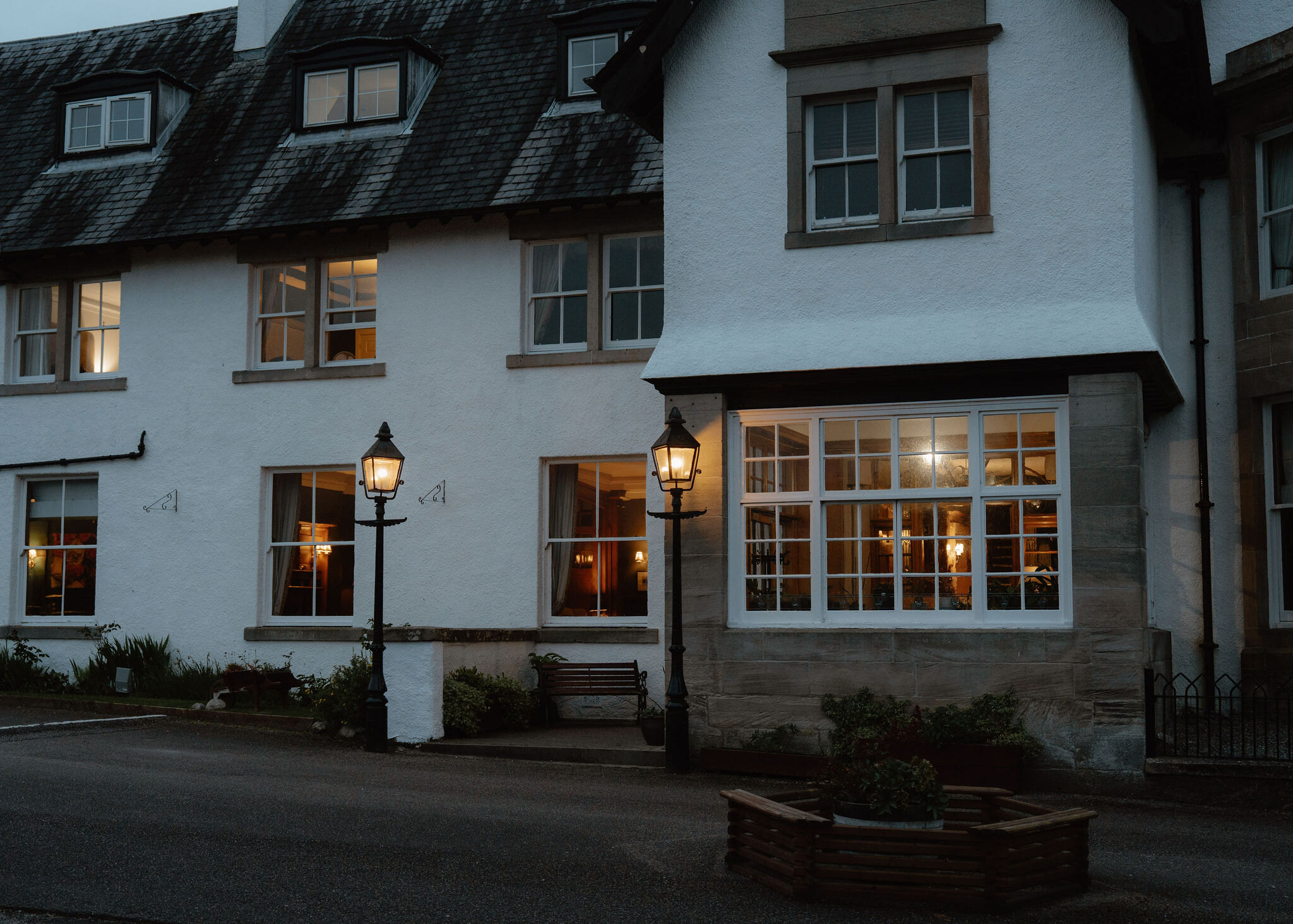 An advert · Fort AugustusThe Lovat Hotel29 minutes by road
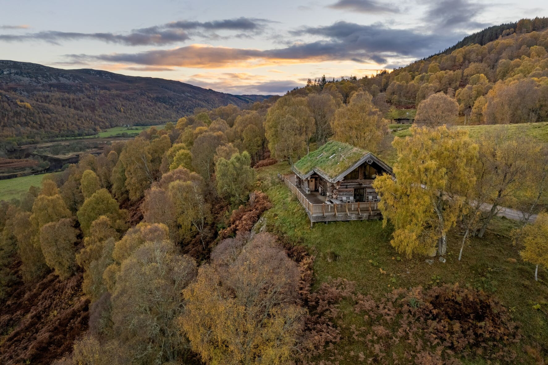 An advert · StruyAquila at Eagle BraeSleeps 6 · 30 minutes by road
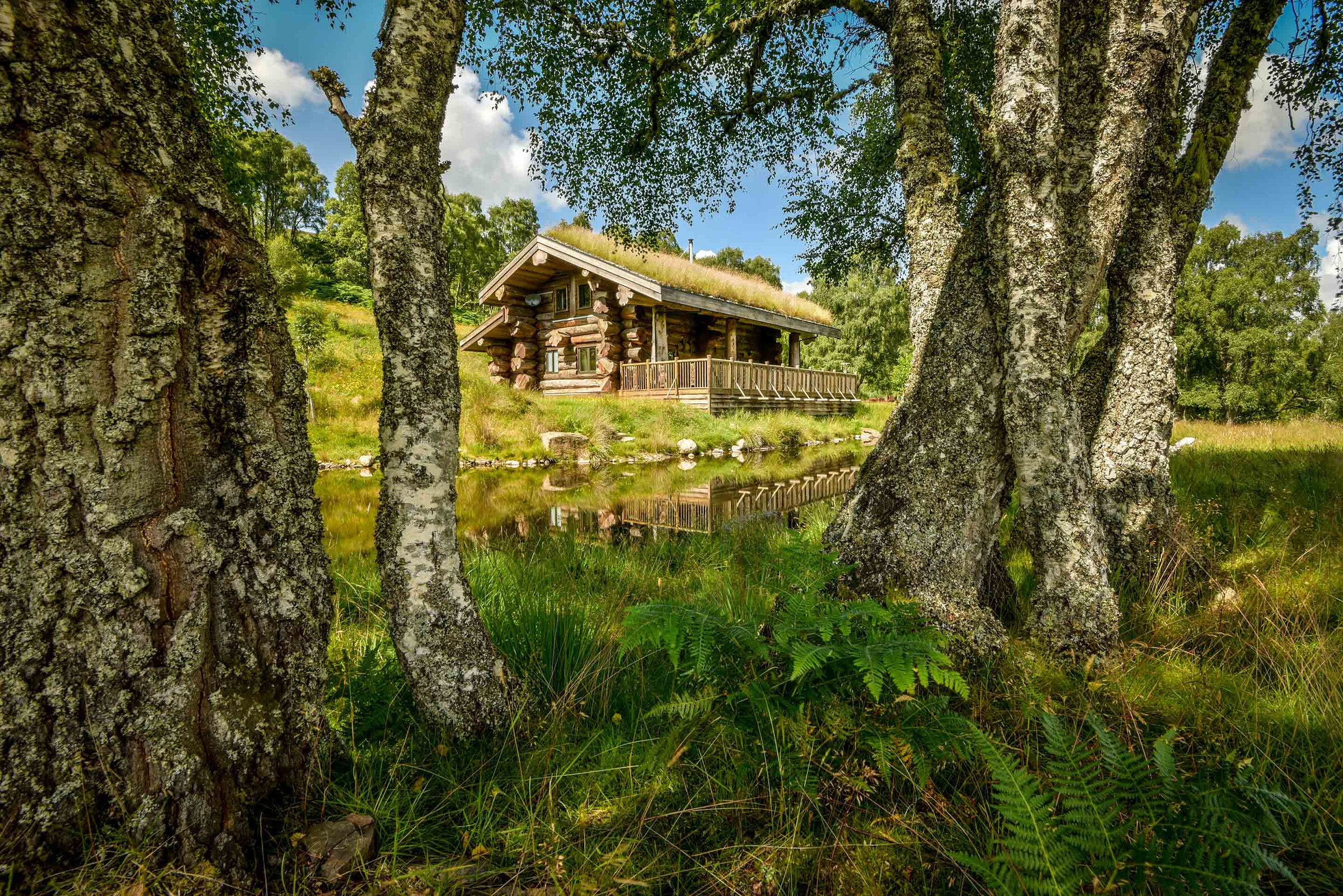 An advert · StruyArdea at Eagle BraeSleeps 4 · 30 minutes by road
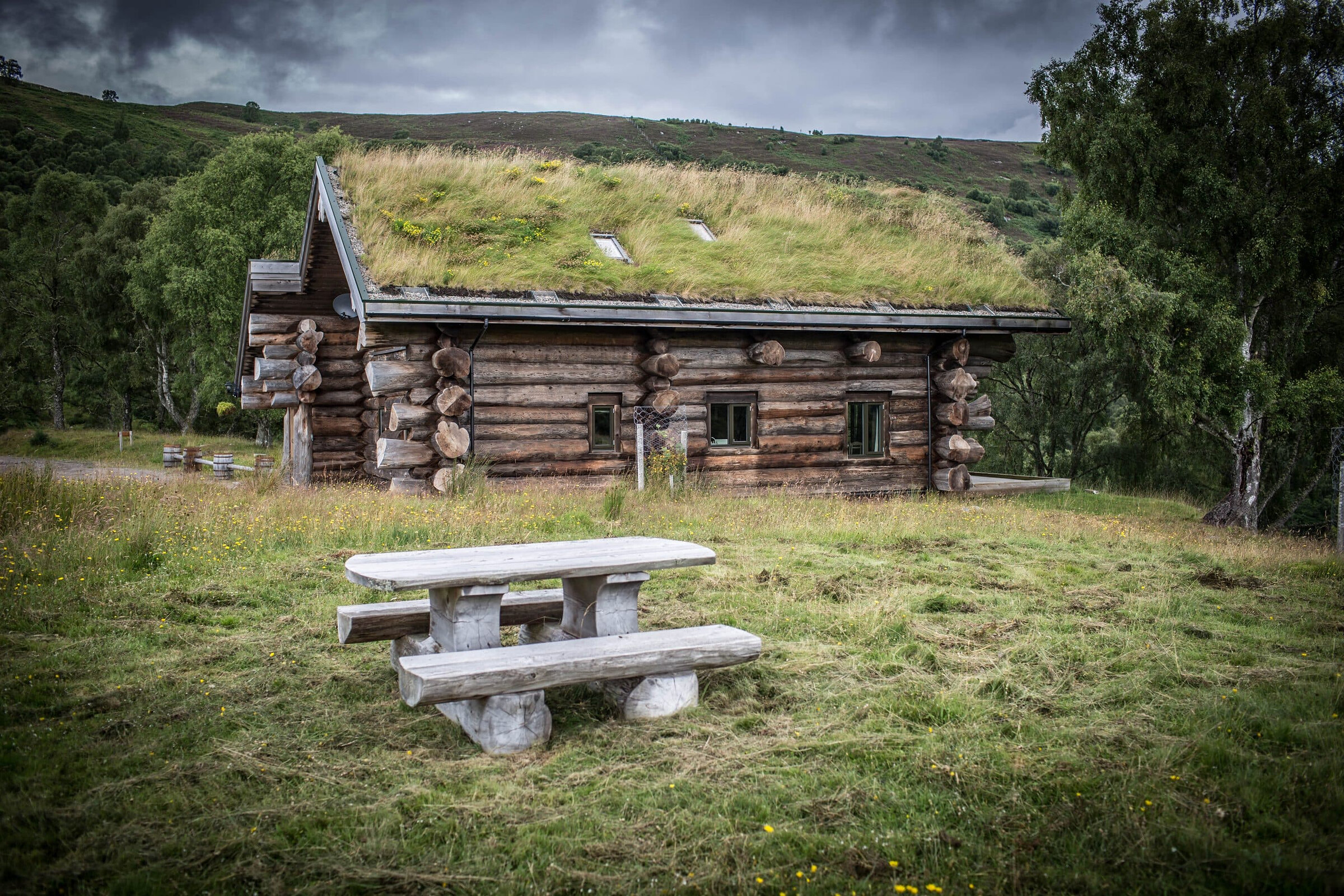 An advert · StruyButeo at Eagle BraeSleeps 6 · 30 minutes by road
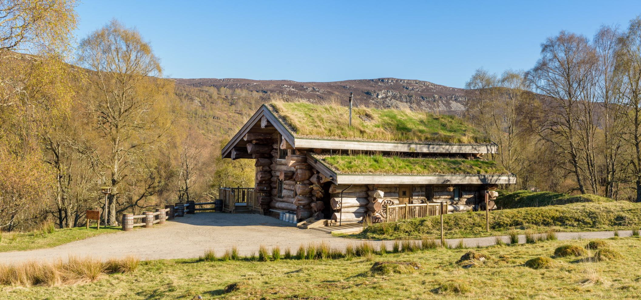 An advert · StruyCinclus at Eagle BraeSleeps 4 · 30 minutes by road
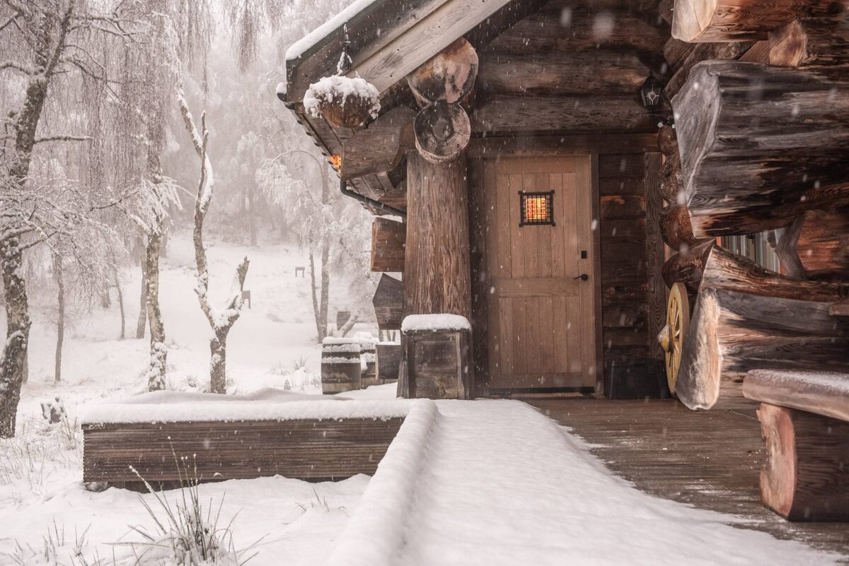 An advert · StruyEagle Brae30 minutes by road
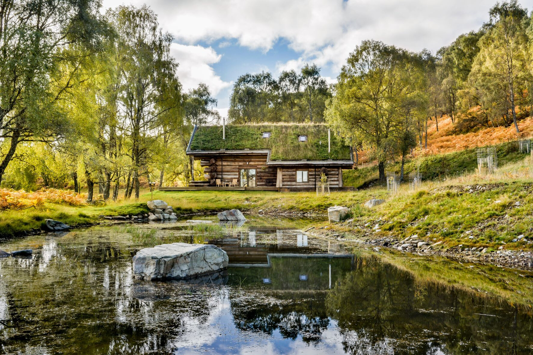 An advert · StruyLoxia at Eagle BraeSleeps 6 · 30 minutes by road
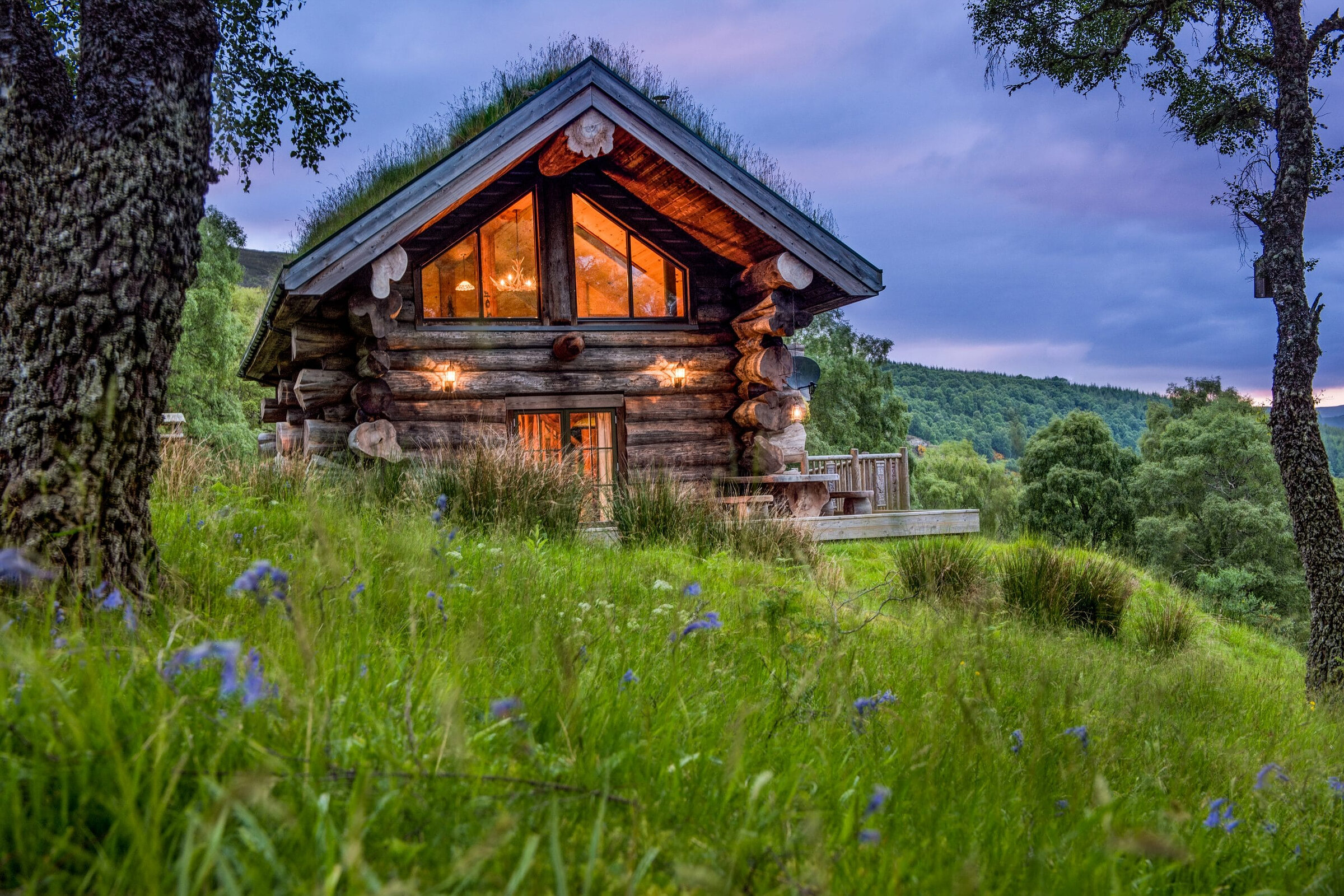 An advert · StruyParus at Eagle BraeSleeps 2 · 30 minutes by road
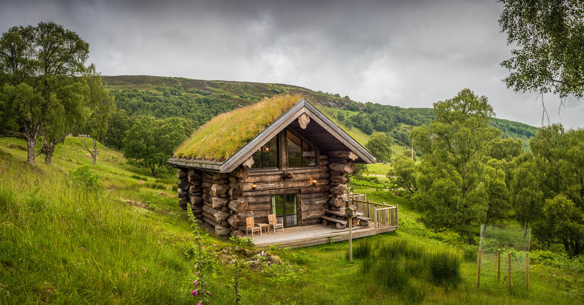 An advert · StruyStrix at Eagle BraeSleeps 2 · 30 minutes by road
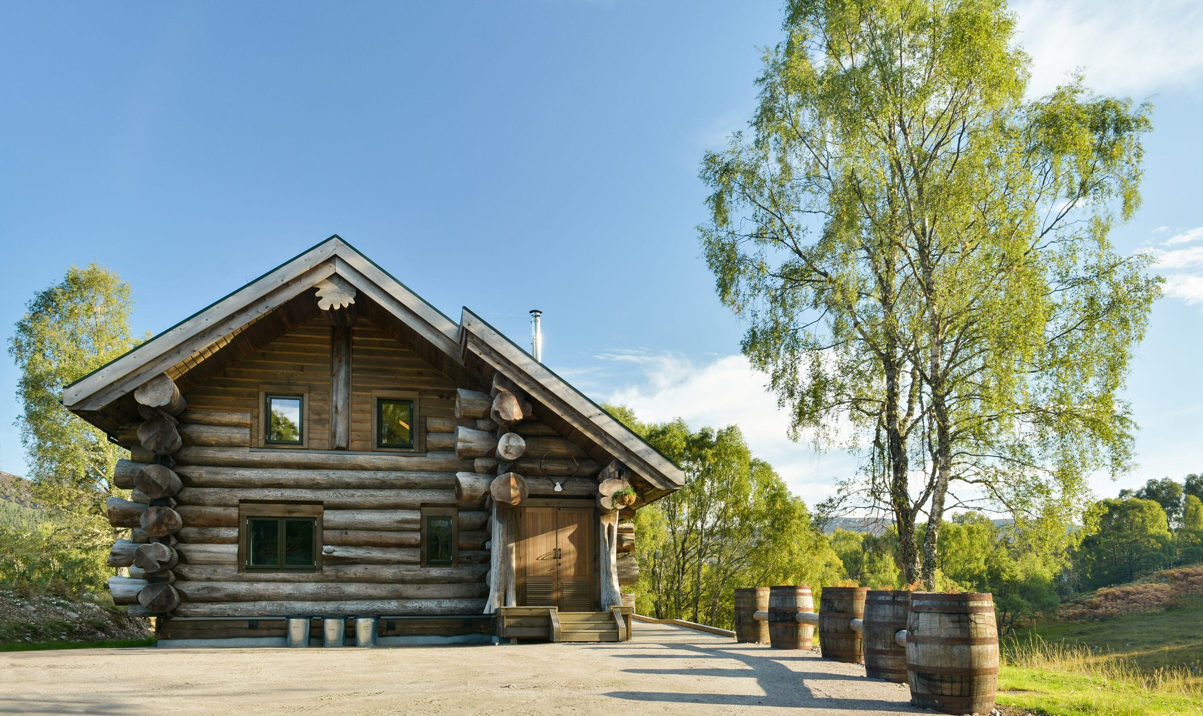 An advert · StruySylvia at Eagle BraeSleeps 2 · 30 minutes by road
 An advert · StruyTringa at Eagle BraeSleeps 2 · 30 minutes by road
More walks near here
Within a short drive of the start.
Did this walk?
Tell the next person how it went. The best go on this page, with your name.
For further reading, before you go.
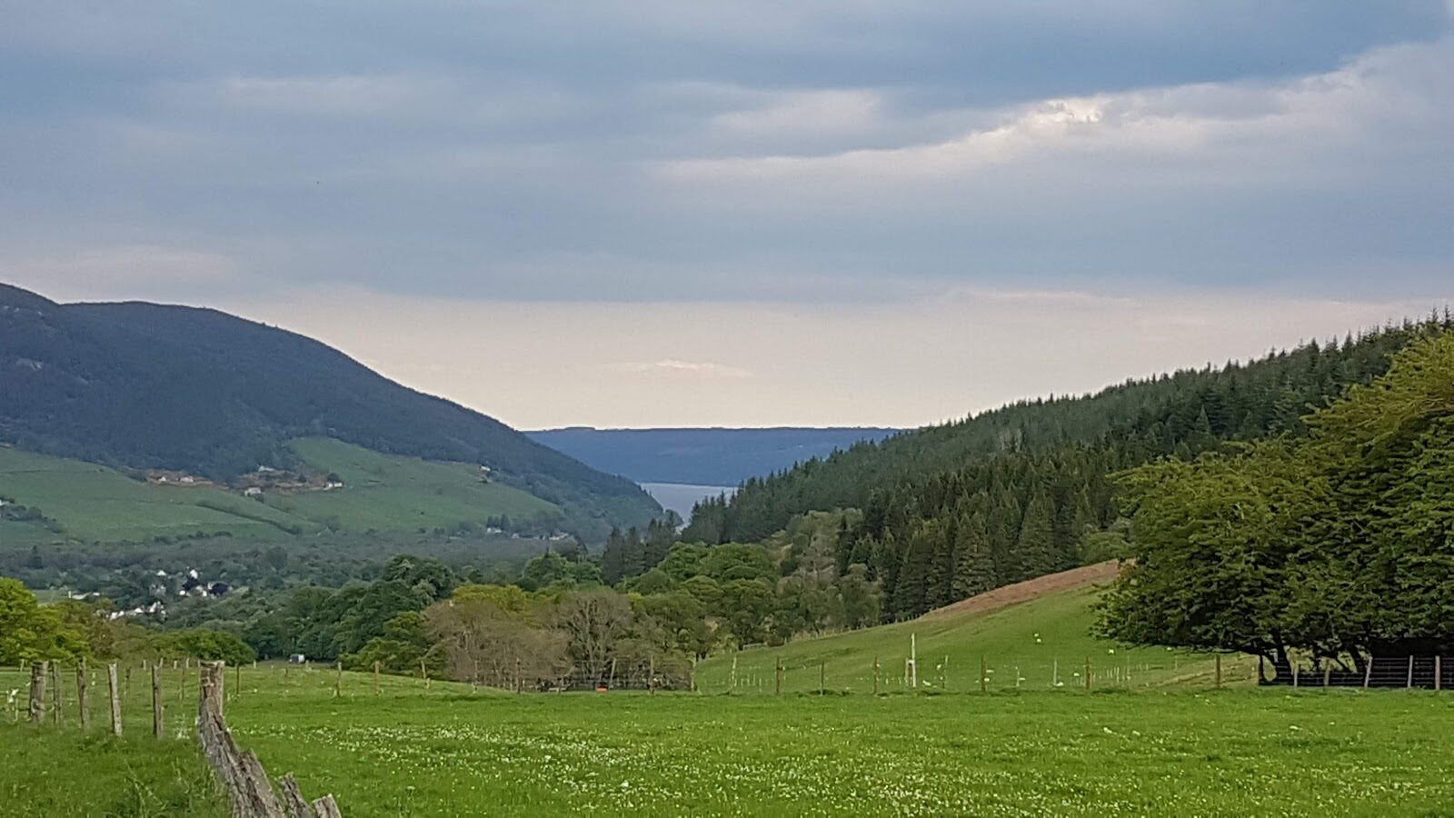
Photograph by Tomasz Francuz via Google
Maps from OpenFreeMap © OpenMapTiles, data © OpenStreetMap contributors; heights from Mapzen's terrain tiles.