
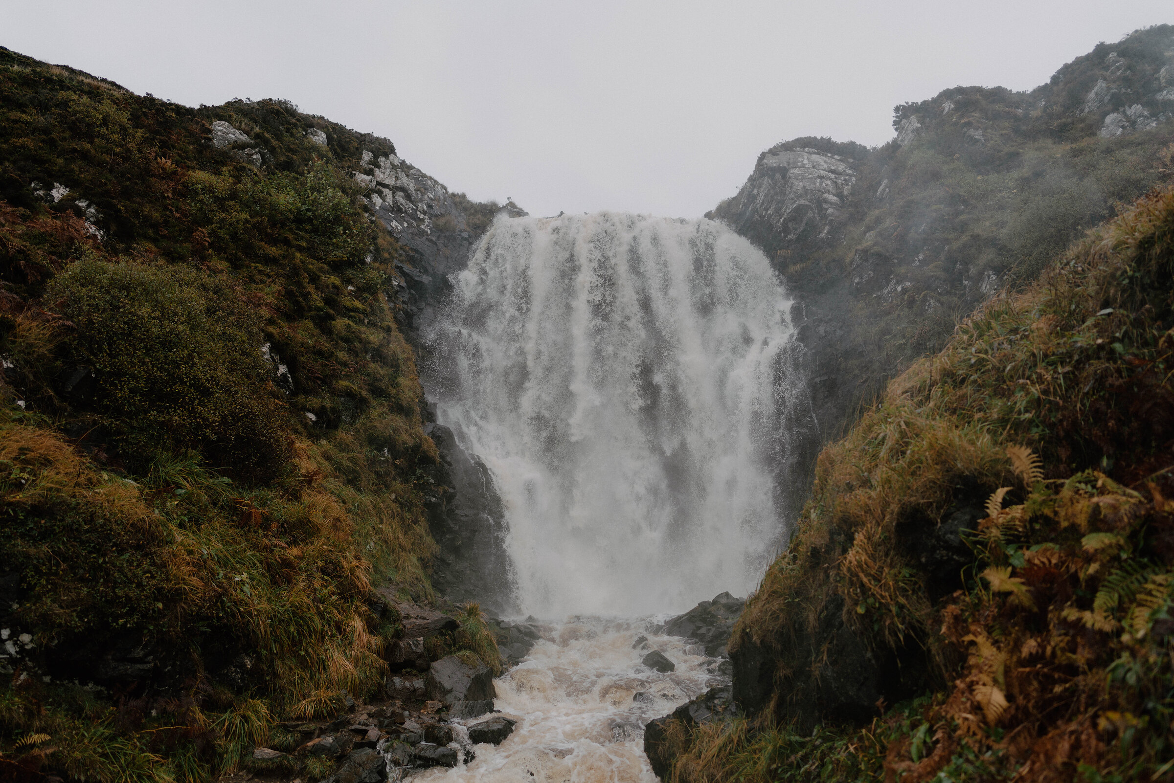
Clashnessie Falls – A Waterfall Behind a Sandy Bay
1½ miles · 45 minutes · there and back
free parking · dogs on a lead
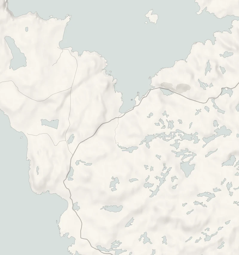
Clashnessie is a scatter of crofts round a sandy bay on the wild road north of Lochinver, and tucked in behind it is a waterfall of about 15 metres that most people drive straight past.
A short walk up the burn, or stream, takes you to its foot. Go a day or two after rain, when the fall is at its loudest, and wear boots.
Is it for me?
Tap who is coming, or the day you have, for the answer on this walk.
Before you go
Getting there
No charge.
On the path
About 45 minutes: 2.25 km (1.4 miles) there and back, with 45 metres of climbing. A short walk on wet ground. A short stretch of road, then a wet, rough path beside the burn. A short walk. Steep banks and slippery rocks at the fall: keep children close.
Good to know
All year in daylight, and best a day or two after rain. From November to January, arrive by 2pm. Dogs on a lead: sheep graze the croft land. There are no toilets at Clashnessie: the nearest are in Lochinver. Wet by the burn; the rocks at the foot of the fall are slippery.
The walk
This is an out-and-back walk from the car park at Clashnessie Bay up the burn to the foot of Clashnessie Falls and back, 2.25 km (1.4 miles) and about 45 minutes, with 45 metres of climbing. It is a short stretch of quiet road and then a rough path beside the burn, wet underfoot and wetter after rain, so wear boots. Discover Assynt's page of walks by length lists it among Assynt's short walks.
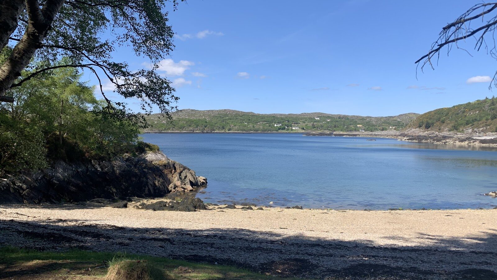
Clashnessie is a crofting township of scattered houses above a bay of pale sand between rocky shores, seven miles north of Lochinver. The name comes from the Gaelic for the channel of the waterfall, and the burn you follow is the one that makes it. The ruins of an old horizontal mill stand on a burn nearby.
The fall drops about 15 metres almost straight down, over a shelf of ancient rock into a pool among the boulders, in a small gorge thick with moss. A day or two after rain it spills in channels with mist rising from the pool; in autumn the bracken and birch round it turn copper and gold. The rocks at the foot are slippery and the banks are steep, so keep children close.
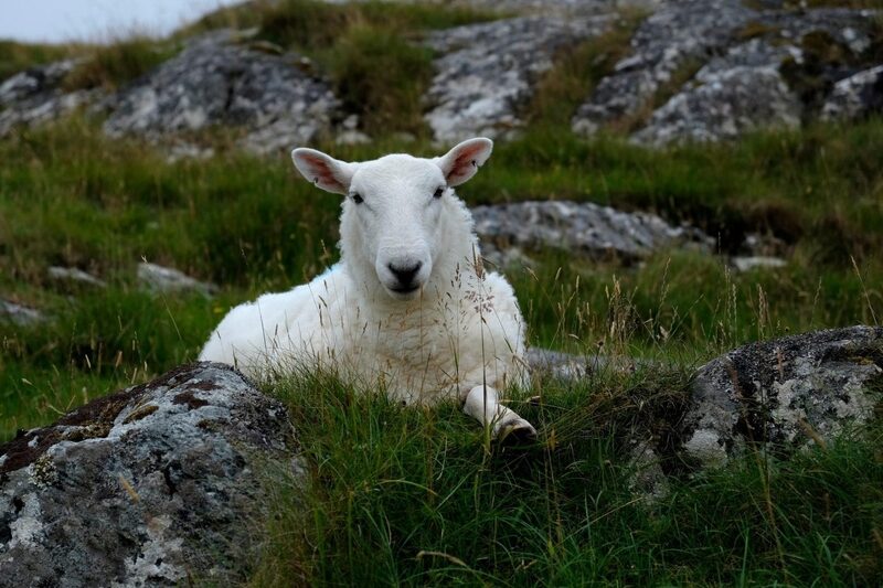
This is crofting land with sheep on it, so dogs stay on a lead. There are no toilets at Clashnessie, the nearest being in Lochinver. Back at the car, the beach is a pleasant place for a flask. The B869 is a narrow single-track road with passing places, so allow more time for the drive than the map suggests. In Lochinver, the Lochinver Larder is open from Tuesday to Saturday, 10am to 4pm, for pies and lunch.
If it rains
Rain is what makes this waterfall, and the walk is short enough to do in waterproofs. The path will be wet, so wear boots and take care on the rocks.
After the walk
Something to do with the rest of the day, nearest the end of the walk first.
With the rest of the day
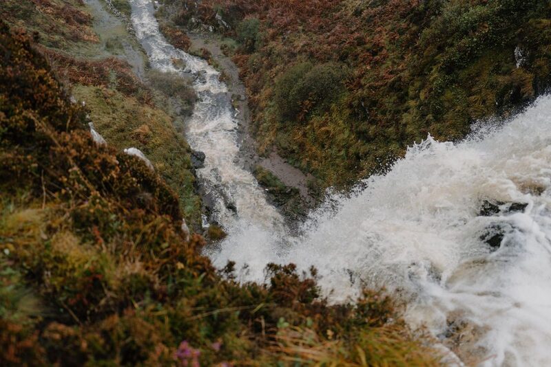 0 min by roadThings to doClashnessieA crofting township on the Stoer coast north of Lochinver, with a sandy bay, a rocky shore and a waterfall up the burn.
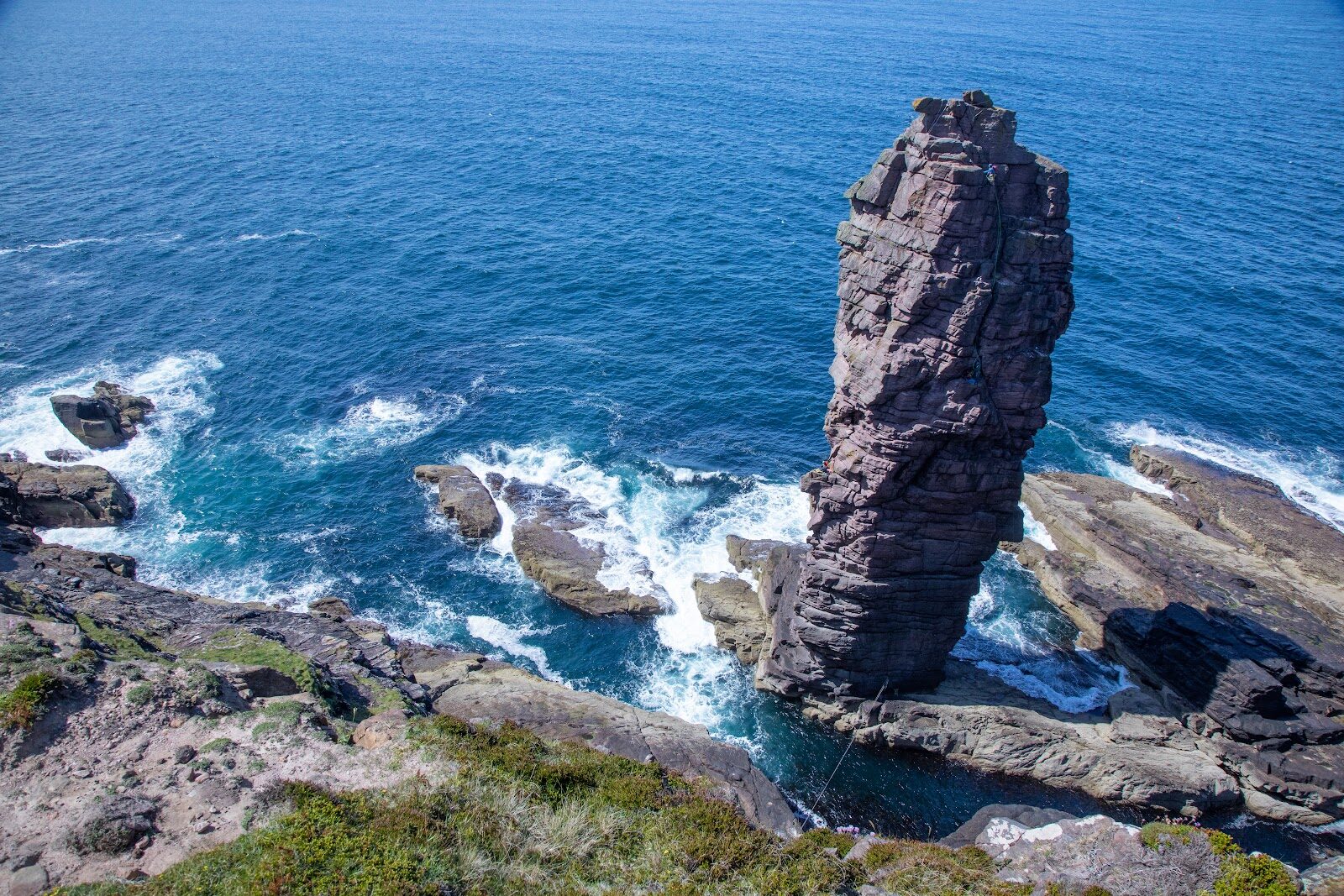
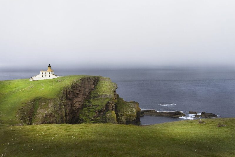 8 min by roadThings to doStoer LighthouseA Stevenson lighthouse of 1870 on the cliffs of the Stoer peninsula, at the end of a single-track road with wide sea views.
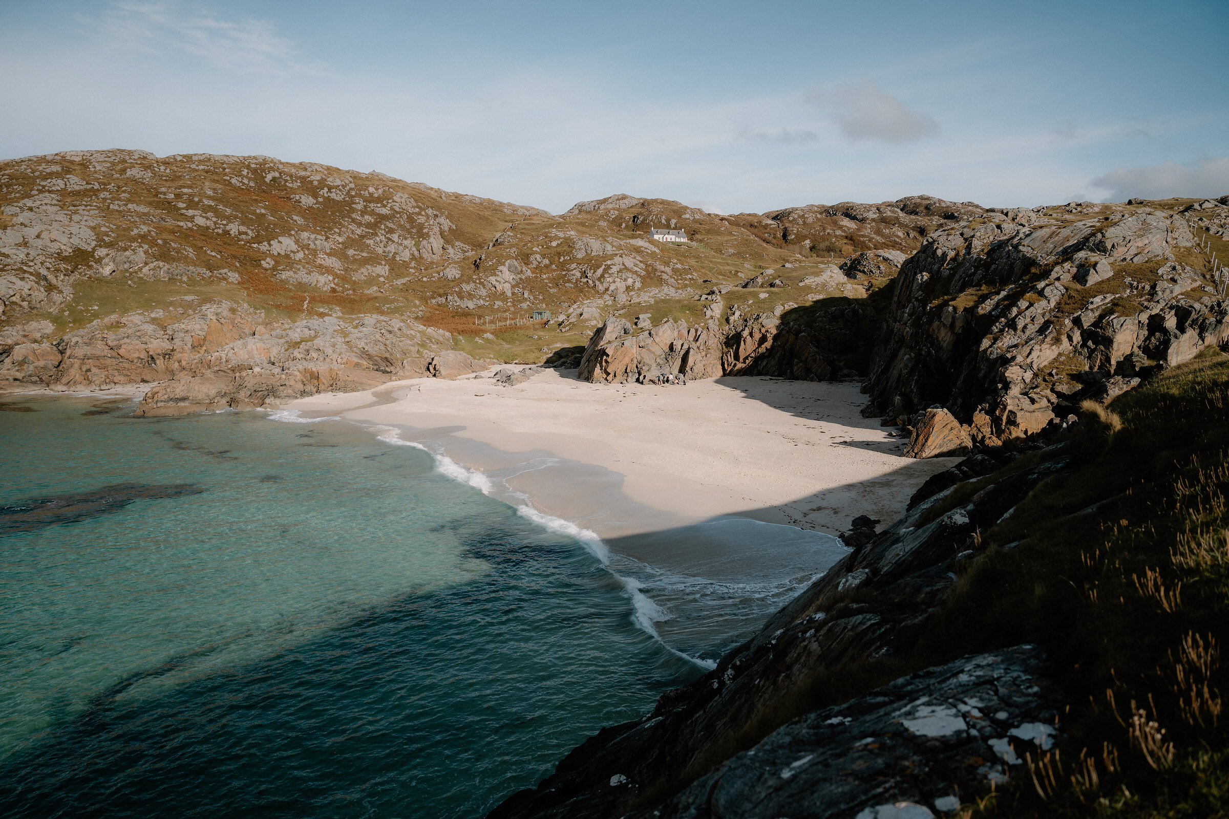
 15 min by roadThings to doAchmelvich Coast WalkSmall white-sand beaches in rocky coves near Lochinver, with a path along the headlands past the tiny concrete Hermit's Castle.
More walks near here
Within a short drive of the start.
Did this walk?
Tell the next person how it went. The best go on this page, with your name.
Find out more
For further reading, before you go.
Maps from OpenFreeMap © OpenMapTiles, data © OpenStreetMap contributors; heights from Mapzen's terrain tiles.