Scotland by Bike: 10 of the Best Trails to Ride
Scotland’s cycle routes offer a quieter kind of travel—routes that reward patience, curiosity, and a steady rhythm. From lochside paths to remote coastal loops, each one opens a different side of the country. This guide brings together ten of the most interesting rides, with details, context, and points to photograph.

Written by Jack Cairney
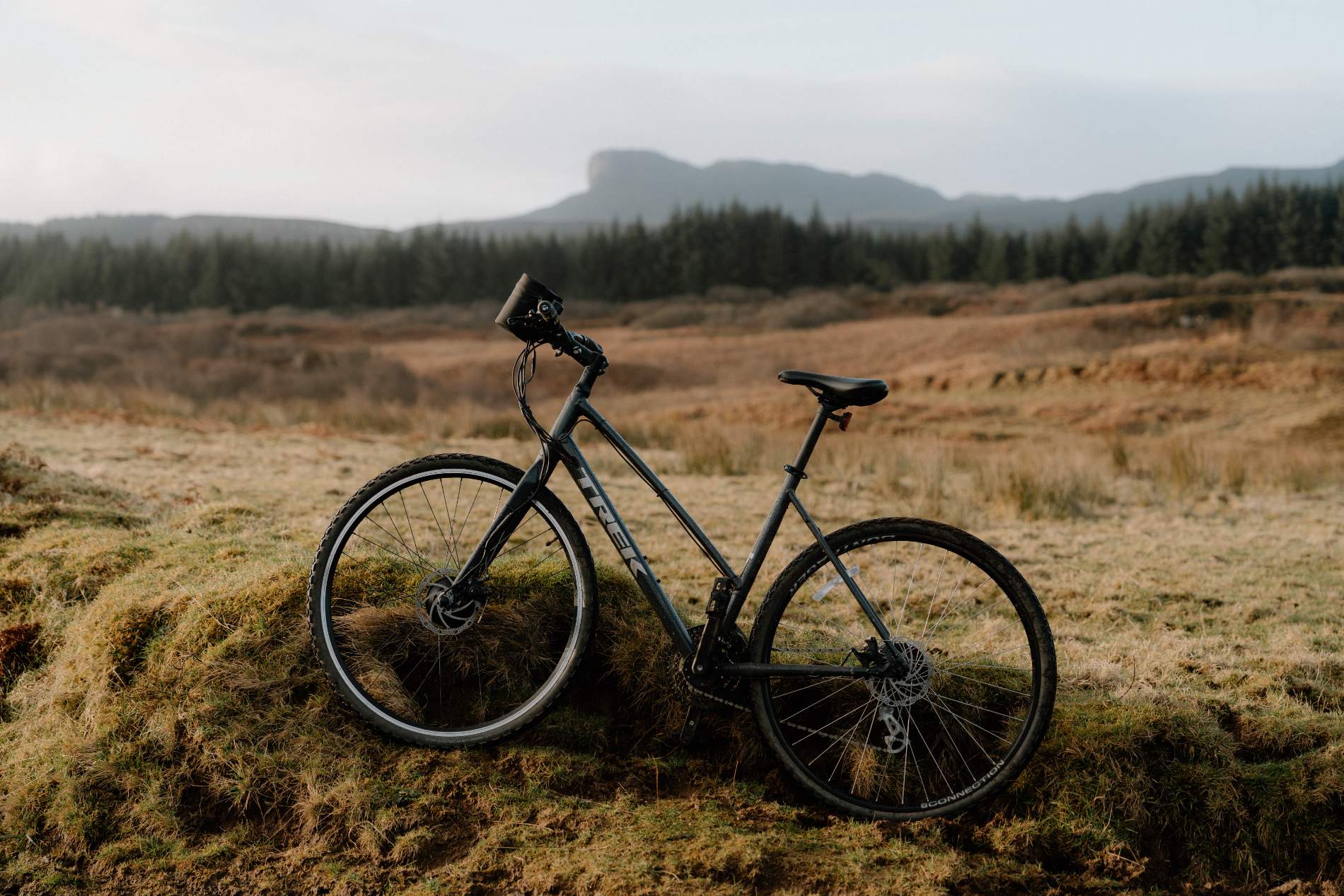
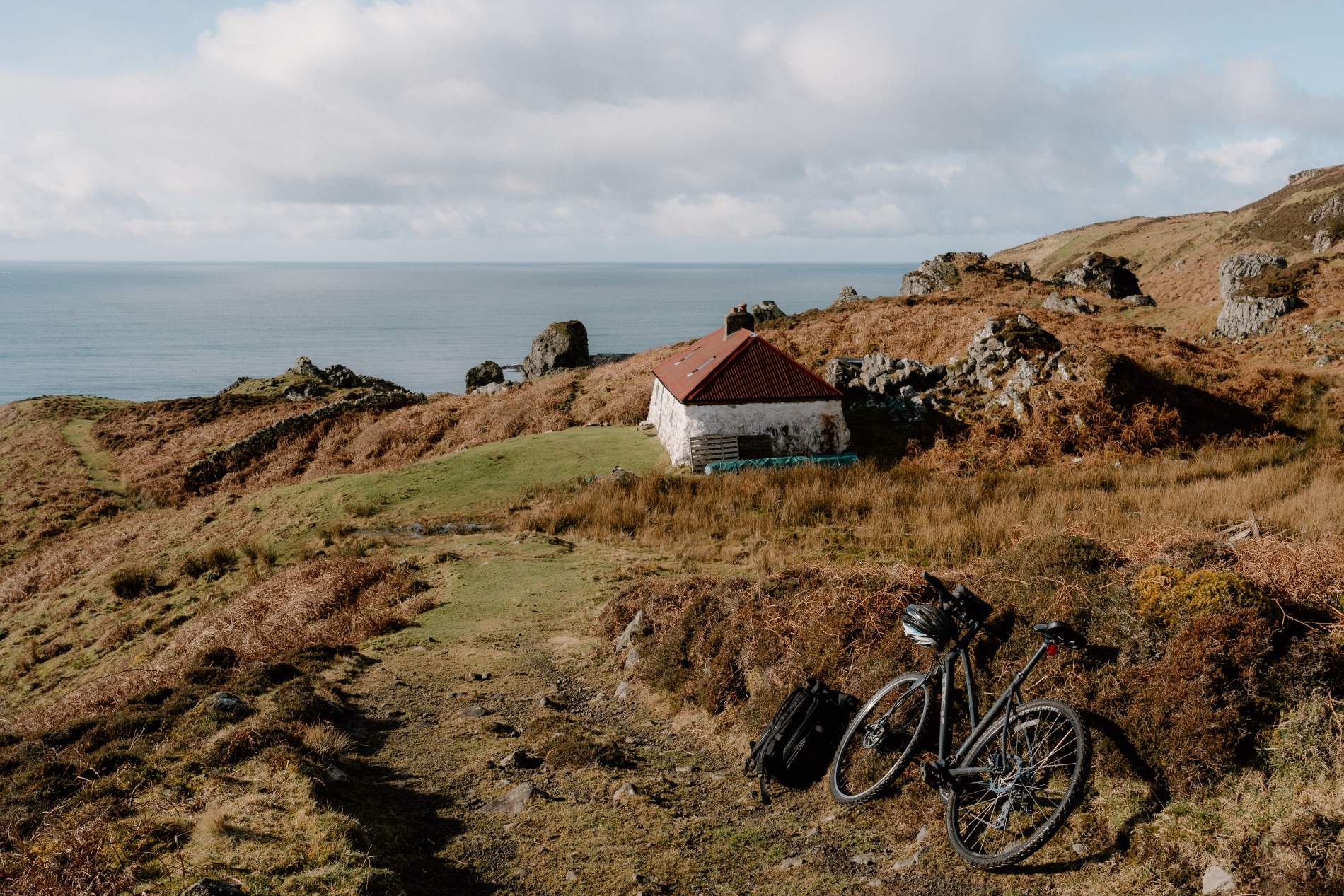
There are few better ways to experience Scotland than from the saddle of a bicycle. The scale feels right. Roads and paths unfurl at a human pace, offering up the detail often missed from a car window—the slow curve of a glen, the stillness of a loch, the wind shifting across open moor. You’re close to the terrain here, and it rewards attention.
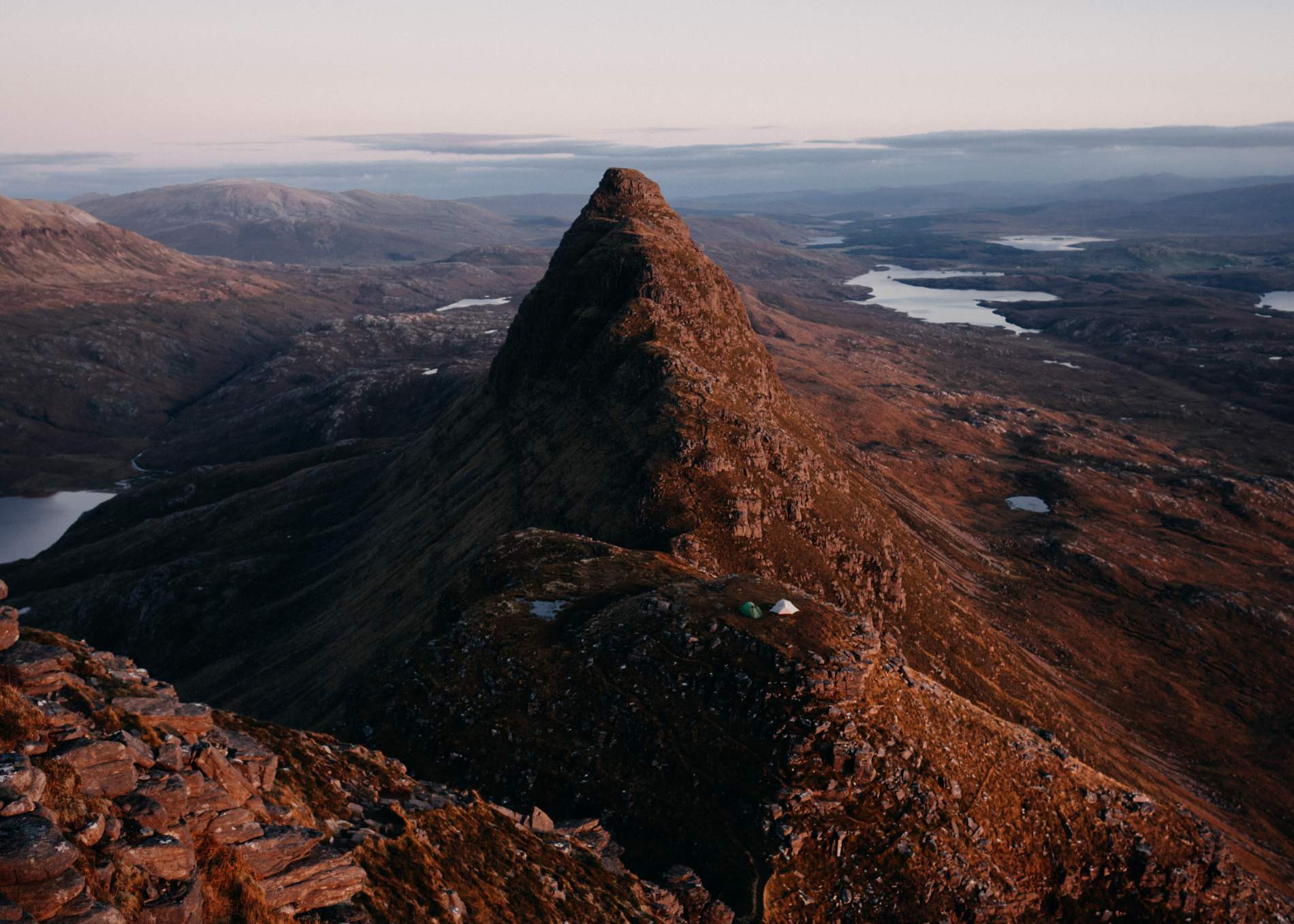
This curated collection brings together ten of Scotland’s most interesting cycling routes. They’re not designed for speed, nor are they all especially well-known. Some follow dedicated paths along former railway lines or lochside trails. Others trace winding single-track roads through remote Highland coastlines or cut across islands where passing places are more common than people. Collectively, they cover a generous sweep of the country—from the fertile woodlands of Deeside to the elemental wildness of the Outer Hebrides.
The routes vary in length, terrain and technical demand, though most fall into the category of moderately challenging, more due to gradients or remoteness than any serious technical difficulty. Road bikes, hybrids and mountain bikes all have their place, depending on the route. Each entry includes practical details on surfaces, grading, and travel advice, along with suggested photography points—landmarks, viewpoints, and small moments of character that speak to the feel of each place.
Whether you're planning a day trip along a loch shore or a week-long ride through the north-west, these routes offer a slower, more absorbing way to see the country. You might arrive back tired, but not the same. Scotland has that effect.
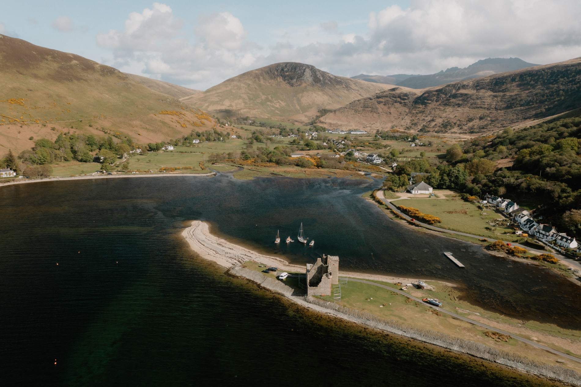
Assynt–Achiltibuie Circular (Northwest Highlands)
There’s a rawness to this corner of Scotland—roads that rise and dip across bare moorland, lochs that stretch out for miles, and not much in between but time. The Assynt–Achiltibuie Circular, at 112 km (70 miles), is a challenging, full-day loop that begins at Achiltibuie and threads through some of the Highlands’ most memorable terrain. From the Summer Isles to Suilven, the views shift constantly—crofts falling to ruin, beaches that appear without warning, distant ridges catching the light.
The route heads north through Polbain and Achnahaird before winding along the coast to Inverkirkaig and Lochinver. From there, expect short, steep climbs and sharp descents as you pass Achmelvich Bay, Clachtoll Broch, and the tight corners of Drumbeg. The final stretch skirts Loch Assynt and Ardvreck Castle before returning via the A835. The road surface is good, but the gradients are not gentle. Most will take a day. Some stay longer.
Distance: 68 km / 42 mi
Difficulty: Challenging – long with several climbs
Surface: Mostly single-track tarmac
Bike Type: Road, touring or gravel bikes
Start/Finish: Stac Pollaidh car park (or Loch Lurgainn layby)
Suilven
Loch Leven Heritage Trail (Perthshire & Kinross)
This is a rare thing in Scotland: a complete lochside circuit, almost entirely traffic-free, rideable in a couple of hours, and still rich in atmosphere. The Loch Leven Heritage Trail begins and ends in Kinross, forming a 13-mile loop that traces the shoreline through a mixture of woodland edge, wetland boardwalks and open country. The riding is easy and well-surfaced throughout, but the setting keeps it from ever feeling dull. Views change constantly—reeds give way to open water, then to distant farmland, then back to the loch again.
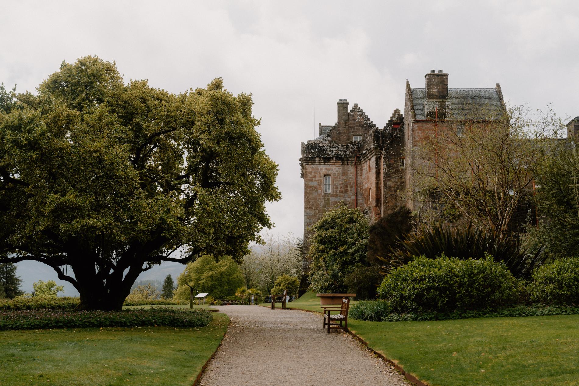
There’s history here too, though it’s understated. Lochleven Castle sits on an island just offshore—only accessible by boat between April and September—but always visible from the eastern path. This is where Mary, Queen of Scots was held captive and forced to abdicate in 1567. Along the route, signs point to Kinross House and the remains of old estate walls and curling ponds.
The western side of the loop, through the RSPB reserve, is quieter and good for spotting wildfowl. There’s often a sense of stillness, even in good weather. It’s easy to stop, sit on a bench, and stay longer than you’d planned. A gentle loop, yes, but with unexpected presence.
Distance: 21 km / 13 miles
Difficulty: Easy
Surface: Gravel, fine-chip, and some boardwalk
Bike Type: All bikes
Start/Finish: Kirkgate Park, Kinross
Great Glen Way (Fort William to Inverness)
The Great Glen cuts straight through the Highlands—forts, lochs, and canal locks lined up across the centre of Scotland. Following this line is the Great Glen Way: a 125 km multi-day cycle route that links Fort William and Inverness via quiet roads, forest tracks, and canal towpaths. It begins beneath the bulk of Ben Nevis and ends at the mouth of the Moray Firth. Most riders take three or four days, not because it’s technically difficult, but because there’s value in going slowly.
The route closely follows the Caledonian Canal, rising gradually past Neptune’s Staircase near Banavie, then hugging the edges of Loch Lochy and Loch Oich before climbing through pine forest above Loch Ness. There are off-road and low-traffic options throughout, and bike-friendly accommodation in Fort Augustus, Drumnadrochit, and Invermoriston.
The east side of Loch Ness is more rugged, with longer climbs and broader views down the water. The sense of movement through landscape is one of the route’s strengths—you pass through working locks, glens shaped by geological fault lines, and villages with just enough to pause for. It’s not remote, but it’s consistent, purposeful, and always scenic.
Distance: 125 km / 78 miles
Difficulty: Moderate – longer distance, gentle gradients
Surface: Towpaths, gravel, forest track, short road sections
Bike Type: Touring, gravel or hybrid
Start/Finish: Fort William to Inverness
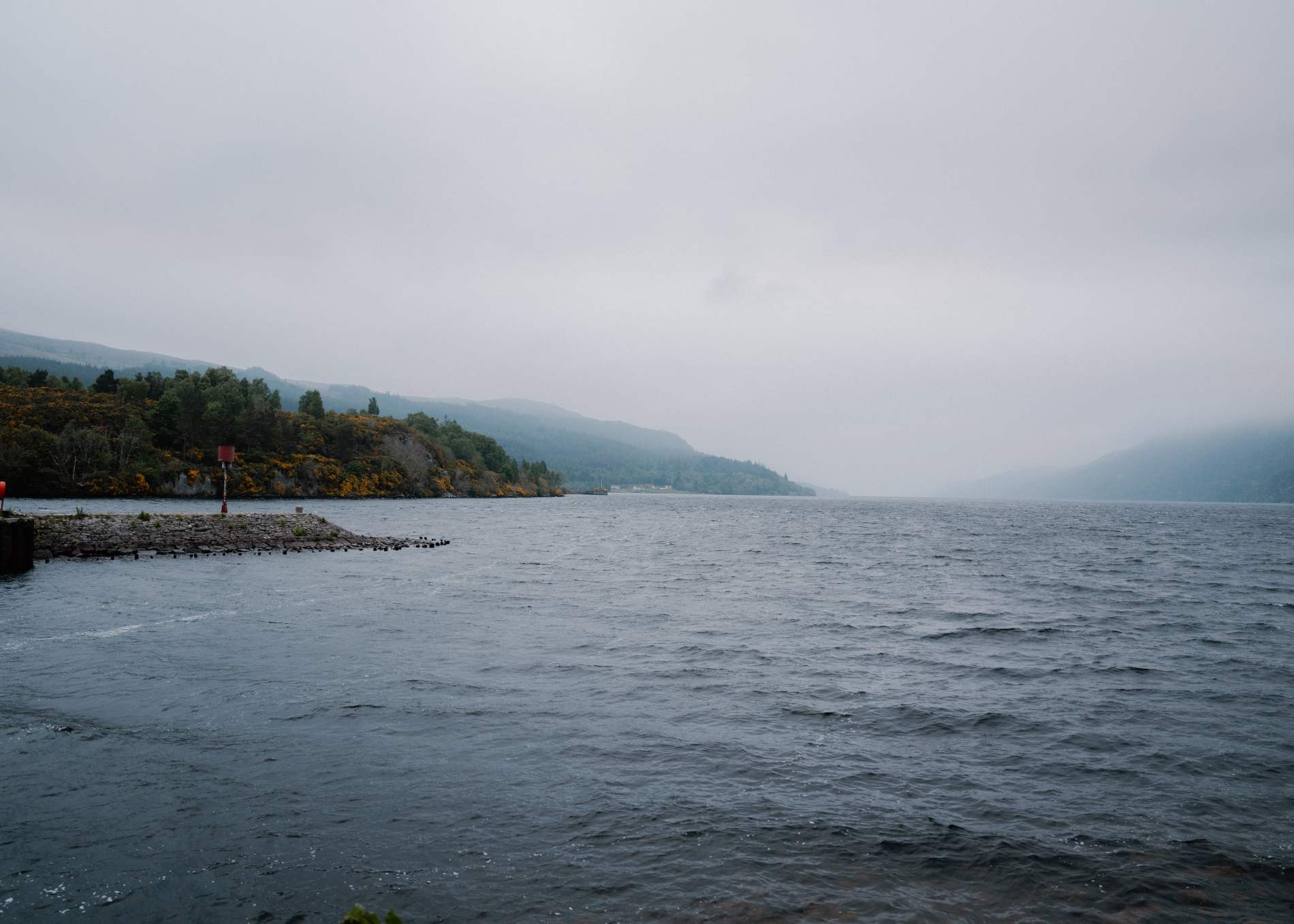
Loch Ness
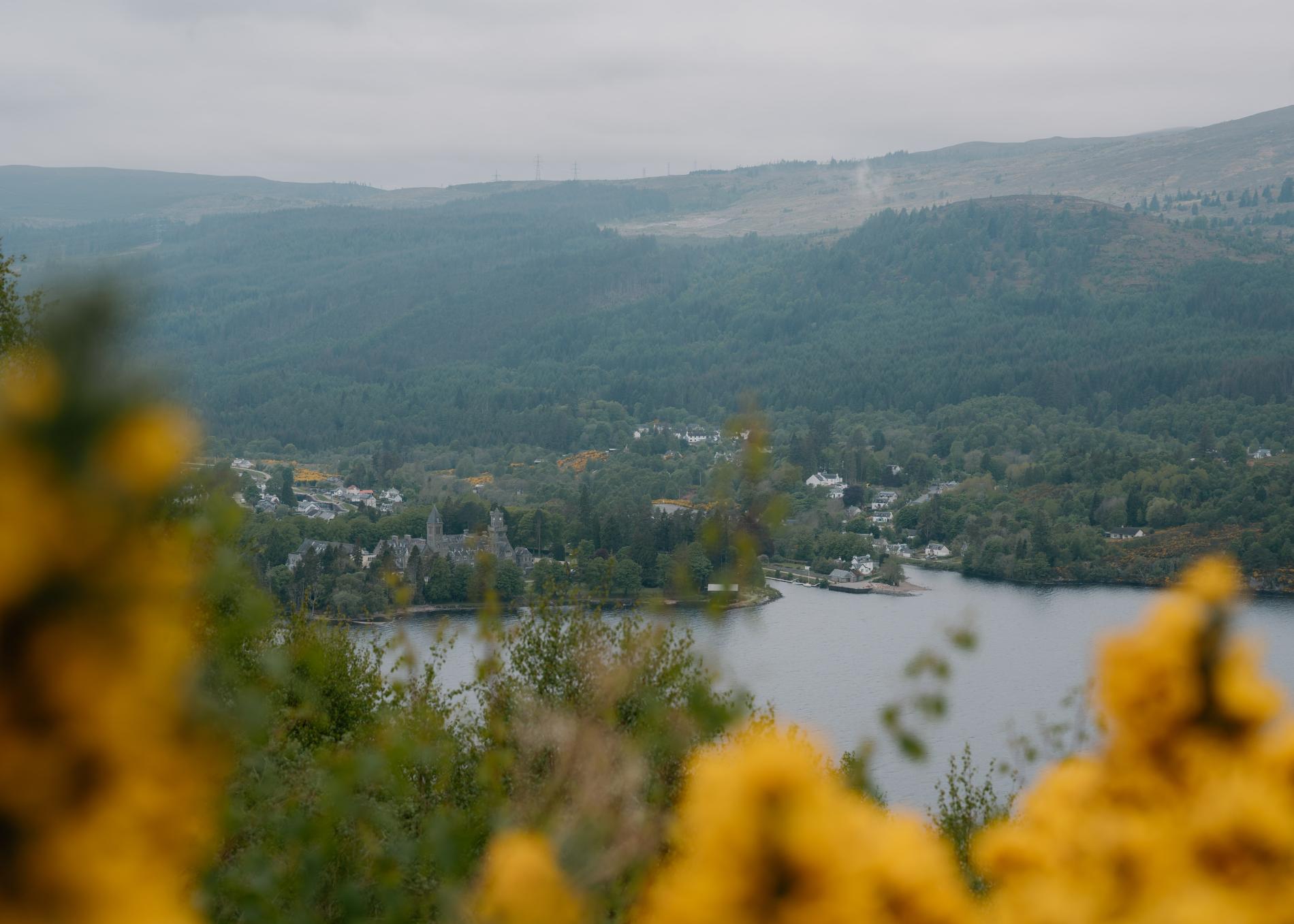
Callander to Loch Katrine via Duke’s Pass (Trossachs, Stirlingshire)
This is a classic Central Scotland loop: compact, scenic, and surprisingly quiet once you leave the town behind. Starting in Callander, the route heads west along the National Cycle Network (Route 7), skirting the River Teith before climbing steadily into Queen Elizabeth Forest Park. The core feature is Duke’s Pass—an undulating ribbon of tarmac built in the 19th century to connect the lochside to Aberfoyle. It’s not long, but it’s sharp in places, and the views open quickly.
Once over the top, the descent towards Loch Katrine is fast and clear. The loch itself, associated with Walter Scott’s Lady of the Lake, feels almost theatrical. You can pause at the Trossachs Pier for lunch or coffee, or catch sight of the steamship Sir Walter Scott pulling away from the jetty. The return can be done via the same route or extended through woodland gravel tracks toward Brig o’ Turk and Glen Finglas for those wanting more variety and time off-road.
This route is popular, but not crowded. Riders tend to pass in nods, not packs. It’s a circuit that works just as well for early morning solo riders as it does for weekend groups.
Distance: ~35 km / 22 miles
Difficulty: Moderate – one significant climb, fast descent
Surface: Paved road with optional gravel sections
Bike Type: Road, hybrid or gravel
Start/Finish: Callander town centre
Loch Katrine
Tweed Valley Railway Path (Peebles to Innerleithen, Scottish Borders)
Following the trackbed of the old Peebles Railway, this 11-mile route through the Tweed Valley is one of the most accessible and rewarding short rides in the Borders. It links Peebles with Innerleithen via gentle gradients, mixed woodland, and well-maintained paths—ideal for families or riders looking for a relaxed day out without sacrificing quality scenery.
The ride begins just east of Peebles, heading toward Eshiels, where the former rail line once wound beside the River Tweed. Much of the route keeps to the river’s course, passing under bridges and through open farmland framed by hills. Views to the north reveal glimpses of Cademuir and rolling pastureland, while the south offers forested slopes leading toward Glentress and Traquair.
Innerleithen makes a fitting turnaround point or lunch stop. You’ll find local cafés, bike shops, and the historic Traquair House nearby. For those with extra time, the route connects easily to Glentress Forest’s trail network—a major draw for mountain bikers—or to longer Borders loops through Walkerburn and beyond.
It’s a route that still carries the pace of the railway it replaced. Steady, scenic, and straightforward.
Distance: ~18 km / 11 miles one way
Difficulty: Easy – minimal gradients
Surface: Hard-packed gravel and tarmac
Bike Type: Any – perfect for hybrid or touring
Start/Finish: Peebles to Innerleithen
Kailzie Gardens
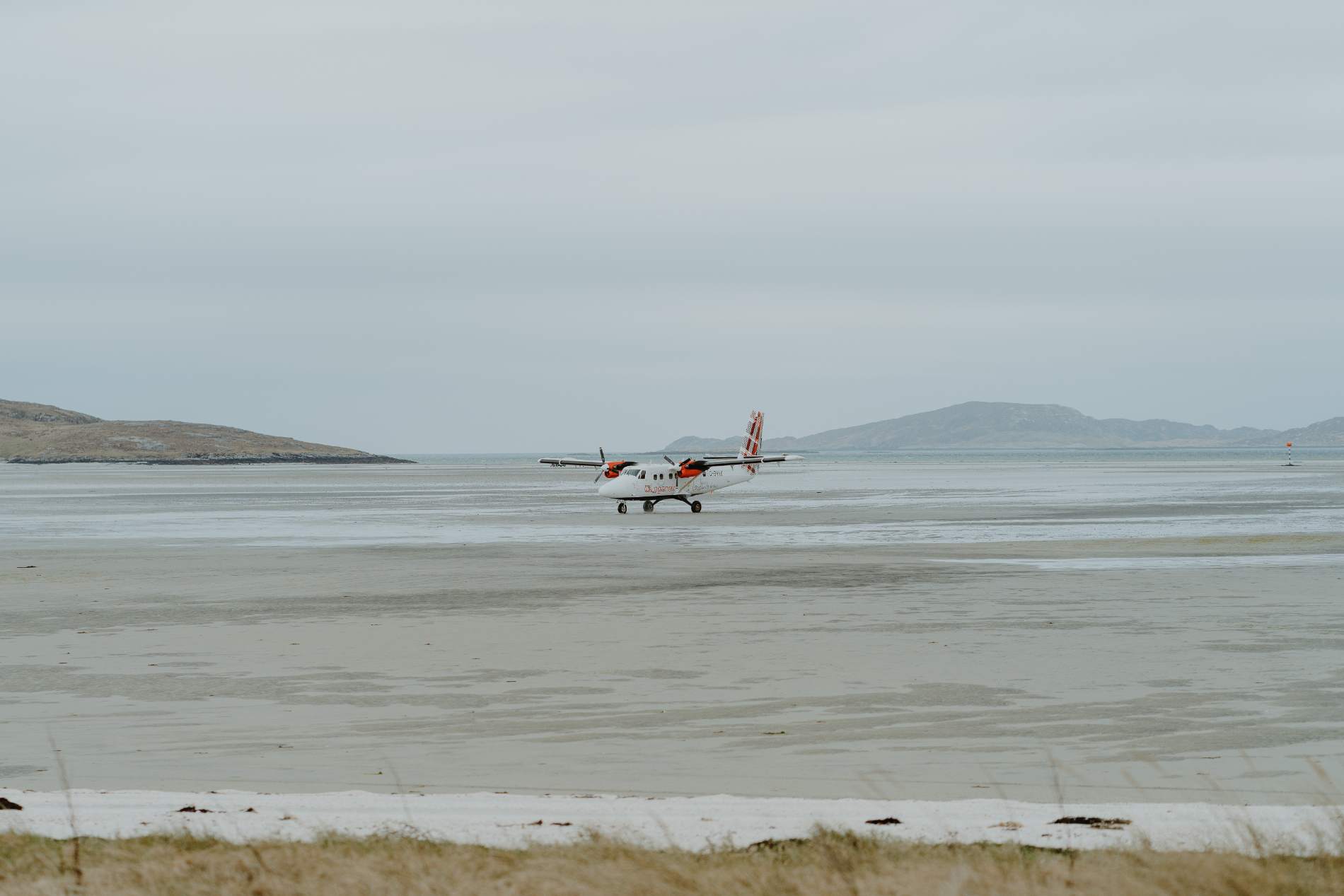
Hebridean Way (Harris to Lewis section, Outer Hebrides)
This final stretch of the Hebridean Way runs from Tarbert on Harris to the Butt of Lewis, marking the northernmost point of the Western Isles. At just over 100 miles, it’s the most dramatic section of this coast-to-coast cycling route and offers a powerful sense of space, silence, and exposure.
Leaving Tarbert, the road climbs past the craggy outline of Clisham—the highest peak in the Outer Hebrides—before dropping toward the beaches of Luskentyre and Seilebost. The tarmac skirts dunes and turquoise water, where Atlantic light shifts by the minute. Through North Harris, the single-track road heads inland past lochs and low-lying peatland before crossing onto Lewis.
The transition is felt in both scenery and pace. The hills of Harris give way to the expansive moor of Lewis, where long straights carry riders past settlements like Callanish and Carloway. Some detours are worth the time: the standing stones at Callanish, the blackhouse village at Gearrannan, and the broch at Dun Carloway all offer insight into a place where human history runs deep.
The route finishes at the Butt of Lewis lighthouse, perched above the crashing sea. It’s a route best done slowly, with time to pause—whether for seals, a cup of tea in a roadside café, or the sudden flight of a hen harrier.
Distance: ~170 km / 105 miles
Difficulty: Moderate to challenging
Surface: Tarmac (mostly single-track roads)
Bike Type: Touring, hybrid, or road
Start/Finish: Tarbert to Butt of Lewis
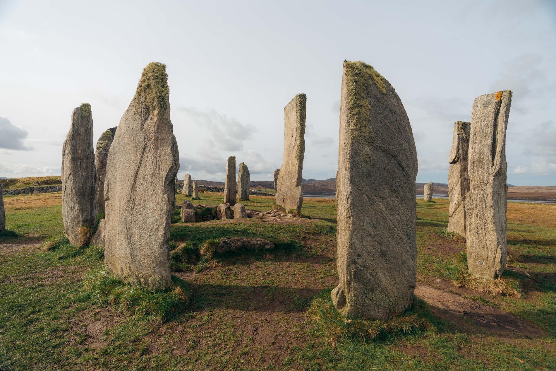
Calanais Standing Stones
The Five Ferries Route (Ayrshire, Cowal, Kintyre, Bute, and Arran)
Covering five ferries and four peninsulas, this circular route is one of the most varied long-distance rides in Scotland. Starting from Ardrossan or Wemyss Bay (depending on your ferry timing), the journey links Arran, Kintyre, Cowal, and Bute, offering constant shifts in terrain, sea views, and rhythm.
Most riders choose to tackle it clockwise, beginning with the crossing to Arran. From Brodick, the route rises steadily over the island’s spine before dropping into Lochranza for the second ferry. The stretch across Kintyre is quiet and gently undulating, with glimpses of Jura on clear days. A short hop from Claonaig to Tarbert leads to the Cowal peninsula, where riders follow sea lochs and pass forested glens en route to Portavadie.
After crossing Loch Fyne, the terrain steepens through Tighnabruaich and Glendaruel. Roads here are winding and quiet, with mossy woodland and occasional sea eagles overhead. The fourth ferry takes you to Bute, whose gentle contours and Victorian promenades provide a welcome change of pace. The final ferry from Rothesay to Wemyss Bay completes the loop.
The challenge lies in the coordination: ferry timetables dictate pace. But with careful planning, this is one of the most rewarding circular rides in the country—linking island culture, mainland character, and a strong sense of travelling through somewhere rather than past it.
Distance: ~90 miles / 145 km
Difficulty: Moderate to challenging
Surface: Roads (A and B roads, some steeper climbs)
Bike Type: Road, touring, or hybrid
Start/Finish: Ardrossan or Wemyss Bay
Lochranza Castle
Isle of Arran Circular Route
The Isle of Arran’s perimeter road offers a self-contained loop of around 55 miles that combines seascapes, forests, glens, and highland ridgelines — all within a single day’s ride. While shorter than other long-distance routes, it presents a solid physical test with frequent climbs and headwinds, especially along the western coastline.
Starting and ending in Brodick, the most common direction is clockwise, giving riders gentler gradients early on and placing the tougher west coast stretches later in the day. The opening miles follow the shore past Lamlash Bay and Holy Isle, before curving inland at Whiting Bay to climb through forest and moor above Kilmory.
The descent into Blackwaterfoot offers wide Atlantic views and a chance to rest at the village bakery or beach. From here, the route follows the rugged western coastline — exposed, open, and often wind-blown. This stretch includes the Twelve Apostles cottages at Catacol, and wide sea views towards Kintyre and Jura. Lochranza is the final stop before the last hill, where Goatfell looms into view again as you descend into Brodick.
Roads are quiet but narrow in parts, and although the full loop can be ridden in a single day, it’s worth stretching the ride over two to explore side trails and coastal spots at a slower pace.
Distance: ~55 miles / 88 km
Difficulty: Moderate
Surface: Single-track and B-roads, some rough edges
Bike Type: Touring, road, hybrid
Start/Finish: Brodick (ferry terminal)
Brodick Castle
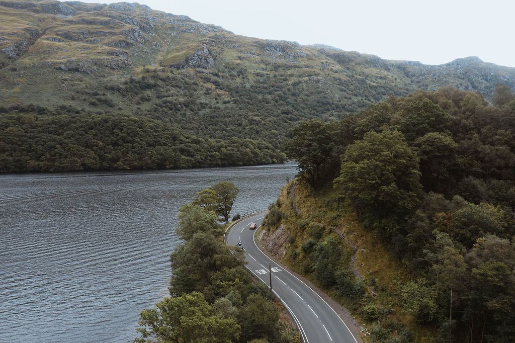
Great Glen Cycle Route
This 79-mile route connects Inverness on the east coast to Fort William on the west, tracking the line of the Caledonian Canal through the Great Glen. It’s part of National Cycle Network Route 78, with a mix of towpaths, quiet roads, and forestry tracks. While not technically demanding, its changing surfaces and sustained mileage give it a steady, satisfying rhythm — best tackled over two or three days for those wanting to pause for lochside stops or a visit to Urquhart Castle.
From Inverness, the route begins gently, following the canal south through Dochgarroch and onwards to Loch Ness. The road along the north shore is narrow and occasionally busy but delivers dramatic views, especially around Drumnadrochit. Here, a short detour can take in the famous ruins of Urquhart Castle before climbing toward Invermoriston and Fort Augustus.
South of Fort Augustus, the route shifts to towpath and forest tracks along Loch Oich and Loch Lochy, often enclosed by pine trees or opening to quiet water views. The final stretch into Fort William passes Neptune’s Staircase and gives a wide view of Ben Nevis, especially in clear weather. Accommodation is plentiful at both ends and in canal-side villages like Laggan Locks or Gairlochy.
Distance: 79 miles / 127 km
Difficulty: Moderate
Surface: Mixed – tarmac, gravel, forest path
Bike Type: Hybrid, gravel, touring
Start: Inverness | Finish: Fort William
Fort Augustus
Formartine and Buchan Way
This former railway line stretches for around 40 miles from Dyce (just outside Aberdeen) to Fraserburgh, with a branch to Peterhead. The surface is mostly compacted gravel, and the route is completely off-road, making it a peaceful ride suitable for families, beginners, or those looking to cover steady miles without traffic.
Setting off from Dyce, the path leads north through open farmland and woods, passing small towns like Udny Station, Ellon, and Maud, where the route splits — west to Fraserburgh, east to Peterhead. The section to Fraserburgh is more complete and better maintained, though both branches are rideable.
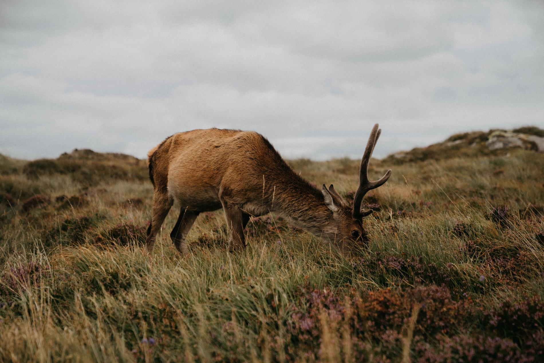
You’ll pass remnants of station platforms, old railway bridges, and wide agricultural views as you cycle north. Wildlife is common here — deer, buzzards, and even red squirrels in the woodlands. Though not mountainous or coastal, the route gives a sense of distance and calm that’s hard to match.
Perfect for a quiet day out or as part of a longer journey up the north-east coast. The full route can be done in a day or split over two with overnight stops in towns like Ellon or Strichen.
Distance: Up to 40 miles / 64 km
Difficulty: Easy to Moderate
Surface: Gravel and compacted earth
Bike Type: Hybrid, gravel, touring
Start: Dyce | Finish: Fraserburgh or Peterhead
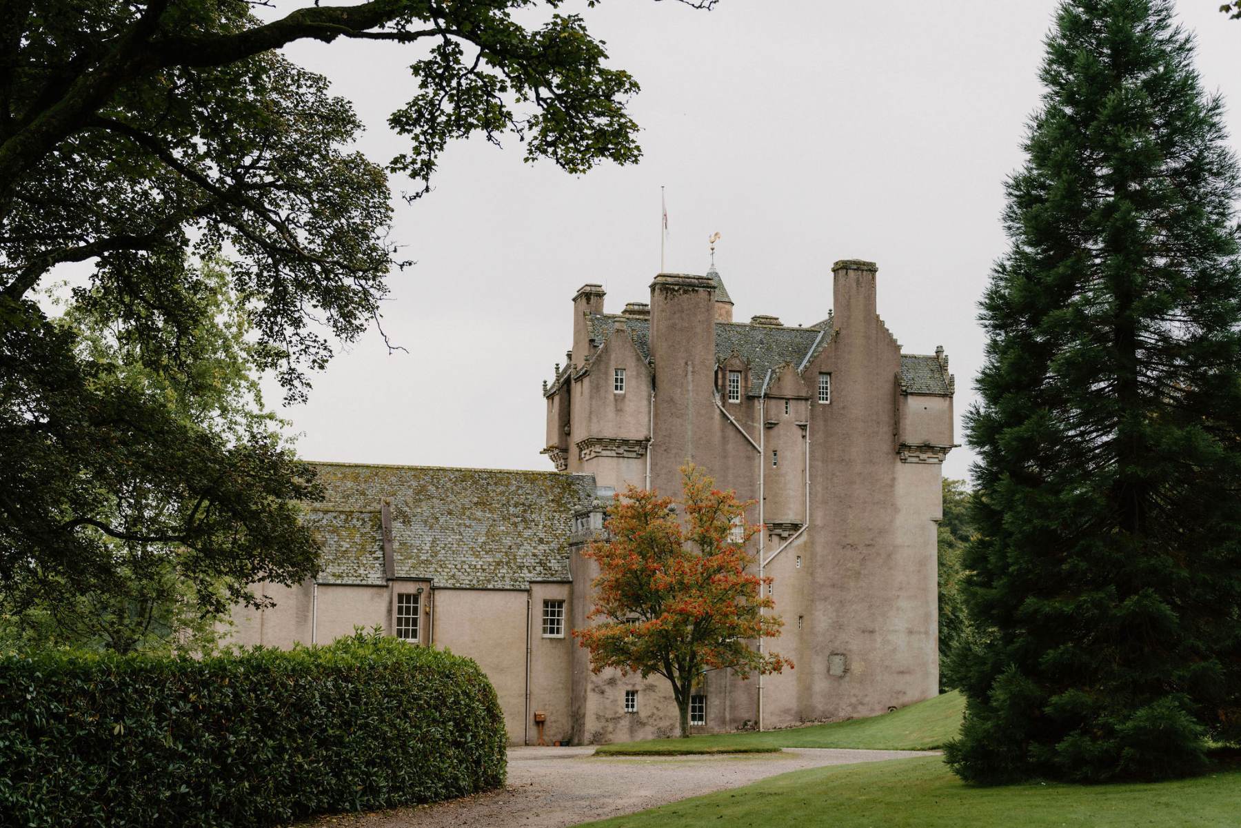
The Deeside Way
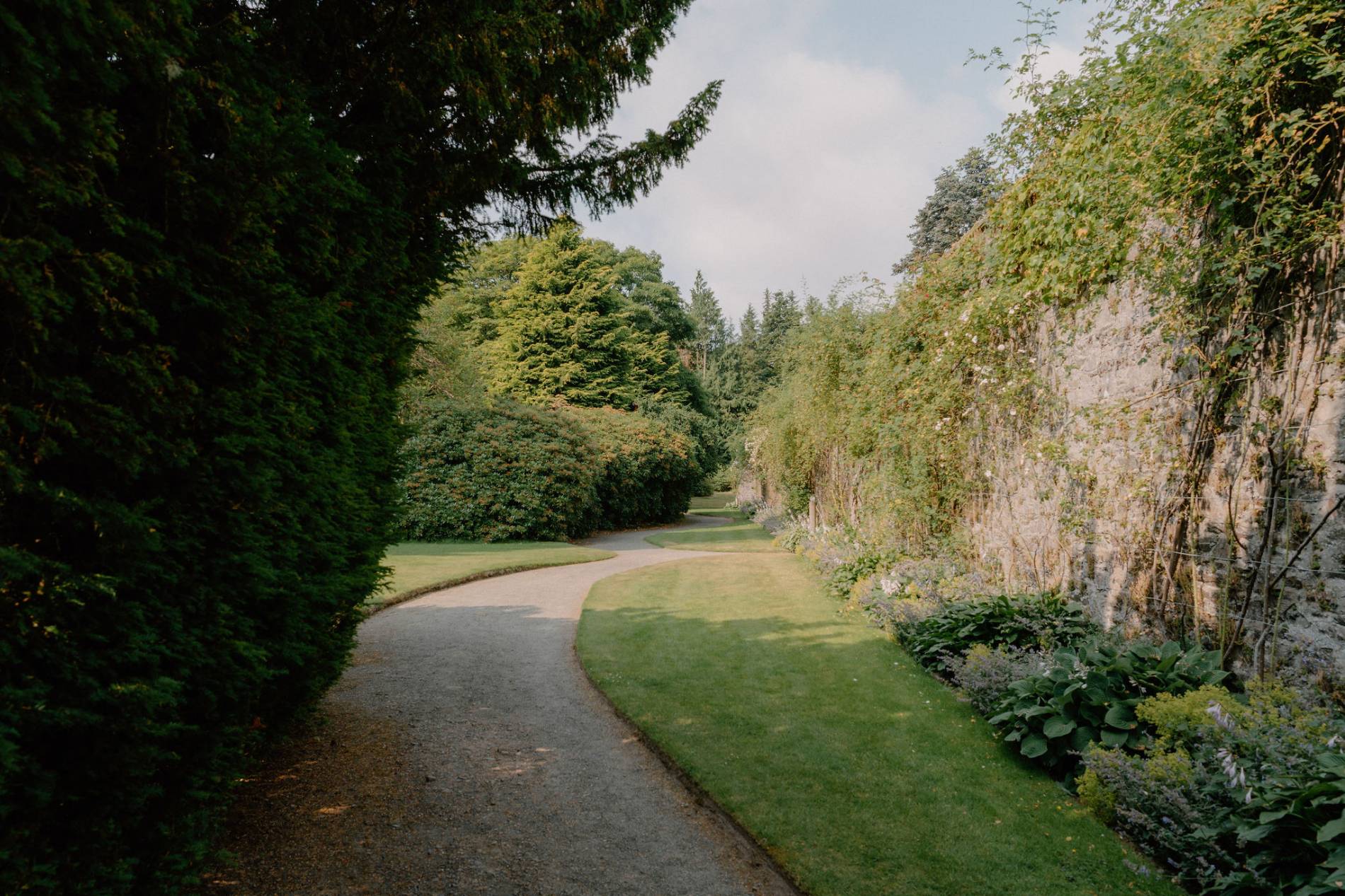
Running from Aberdeen to Ballater, the Deeside Way traces the route of the old Royal Deeside Railway, offering 41 miles (66 km) of peaceful, gradual cycling through varied countryside. Starting on the banks of the North Sea, the trail leads riders westward past woodland, farmland, and the River Dee itself, rising gently into the foothills of the Cairngorms. Surface conditions range from tarmac to compact gravel, and the route is well waymarked throughout.
Leaving Aberdeen, riders quickly find themselves in open rural stretches. Places like Peterculter and Drumoak bring glimpses of local life, while Banchory offers a worthwhile pause with cafés, riverside walks, and access to Crathes Castle – a fine turreted building with walled gardens and woodland paths. Further west, the path narrows and becomes more secluded through Aboyne and Dinnet, both gateways to scenic detours like Loch Kinord or Cambus o’May’s Victorian suspension bridge. The trail’s end at Ballater is well worth lingering in, with elegant granite villas, shops, and quiet forest tracks leading deeper into Royal Deeside.
The gradient is forgiving and the way is largely traffic-free, making it accessible for most bike types and skill levels. It’s especially well-suited to hybrid or gravel bikes.
Distance: 41 miles / 66 km
Difficulty: Moderate
Surface: Tarmac, gravel paths, compact earth
Bike Type: Hybrid, Gravel, Touring
Start/End: Aberdeen – Ballater
Crathes Castle
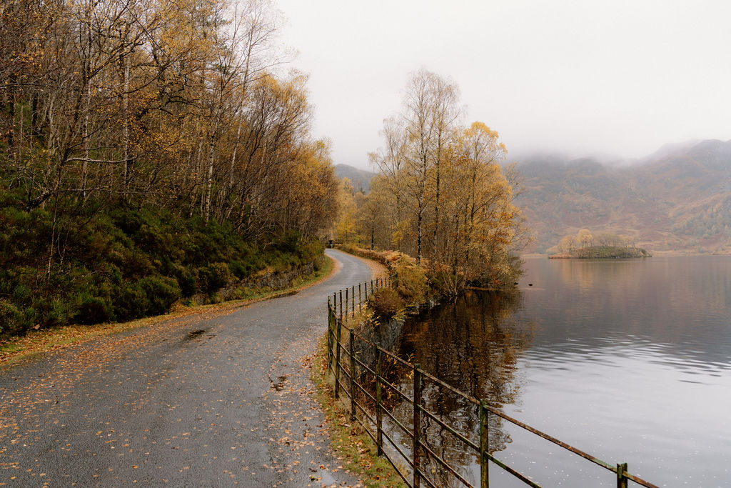
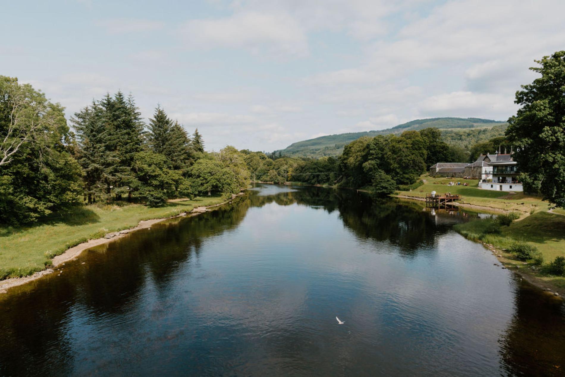
Killin to Kenmore via Loch Tay
This Highland stretch from Killin to Kenmore offers around 20 miles (32 km) of gently undulating roads along the northern shore of Loch Tay. It’s a quieter corner of Perthshire, with wide loch views and a strong sense of distance between each stop. Starting in the village of Killin, riders pass the Falls of Dochart – one of the area’s most recognisable sights – before heading east along single-track and B-roads that hug the shoreline.
The road climbs steadily in places, rewarding cyclists with glimpses across the water to Ben Lawers and the surrounding hills. Sections wind through forested patches and open farmland, with moments of stillness that are broken only by the occasional birdcall or the crunch of tyres over gravel. Near the halfway point, there’s the option to take a short detour up to the Ben Lawers Visitor Centre, with views across the loch basin.
Kenmore itself is a neat finishing point, with its 18th-century bridge, walled gardens and the arched gatehouse of Taymouth Castle. It’s also possible to loop back along the southern road for a longer, more challenging circuit of Loch Tay.
Distance: 20 miles / 32 km
Difficulty: Moderate
Surface: Paved roads, occasional rough patches
Bike Type: Road, Hybrid
Start/End: Killin – Kenmore
Kenmore
The Hebridean Way (Cycling Route)
Stretching nearly 185 miles (297 km) across ten islands, the Hebridean Way is one of Scotland’s most distinctive long-distance cycling routes. It runs from Vatersay in the south to the Butt of Lewis in the north, linking the Outer Hebrides via a series of causeways and ferry crossings. Most riders take five to seven days, depending on the weather and pace, but the route can be broken into shorter segments for those without the time or stamina for the full length.
Expect open moorland, Atlantic beaches, crofting communities, and strong winds. The roads are mostly quiet single-track, with simple waymarking. Cultural stops include the standing stones at Callanish, the Gearrannan Blackhouse Village, and the Kisimul Castle ferry view from Barra. There’s a real sense of remoteness here, especially through Harris, where the mountains press close to the coast.
Local cafés, bunkhouses, and bothies support the route, and many cyclists wild camp along the way. It’s essential to plan around ferry schedules, particularly the sailing between Barra and Eriskay. Strong legs and a waterproof jacket are equally necessary.
Distance: 185 miles / 297 km
Difficulty: Challenging (weather, remoteness)
Surface: Tarmac single-track, occasional rough patches
Bike Type: Touring, Gravel, Hybrid
Start/End: Vatersay – Butt of Lewis
Words Jack Cairney, photography by Simon Hird
Promoted Post
Whitehill Farmhouse
Located on Colquhalzie Estate, this 19th Century farmhouse has been lovingly restored into a family home, having previously been home to the Shepherd who lived there for 40 years. We welcome friends and families of up to 8 people on a self-catered basis for at least 4 nights.
 Sign in with Google
 Sign in with Email