
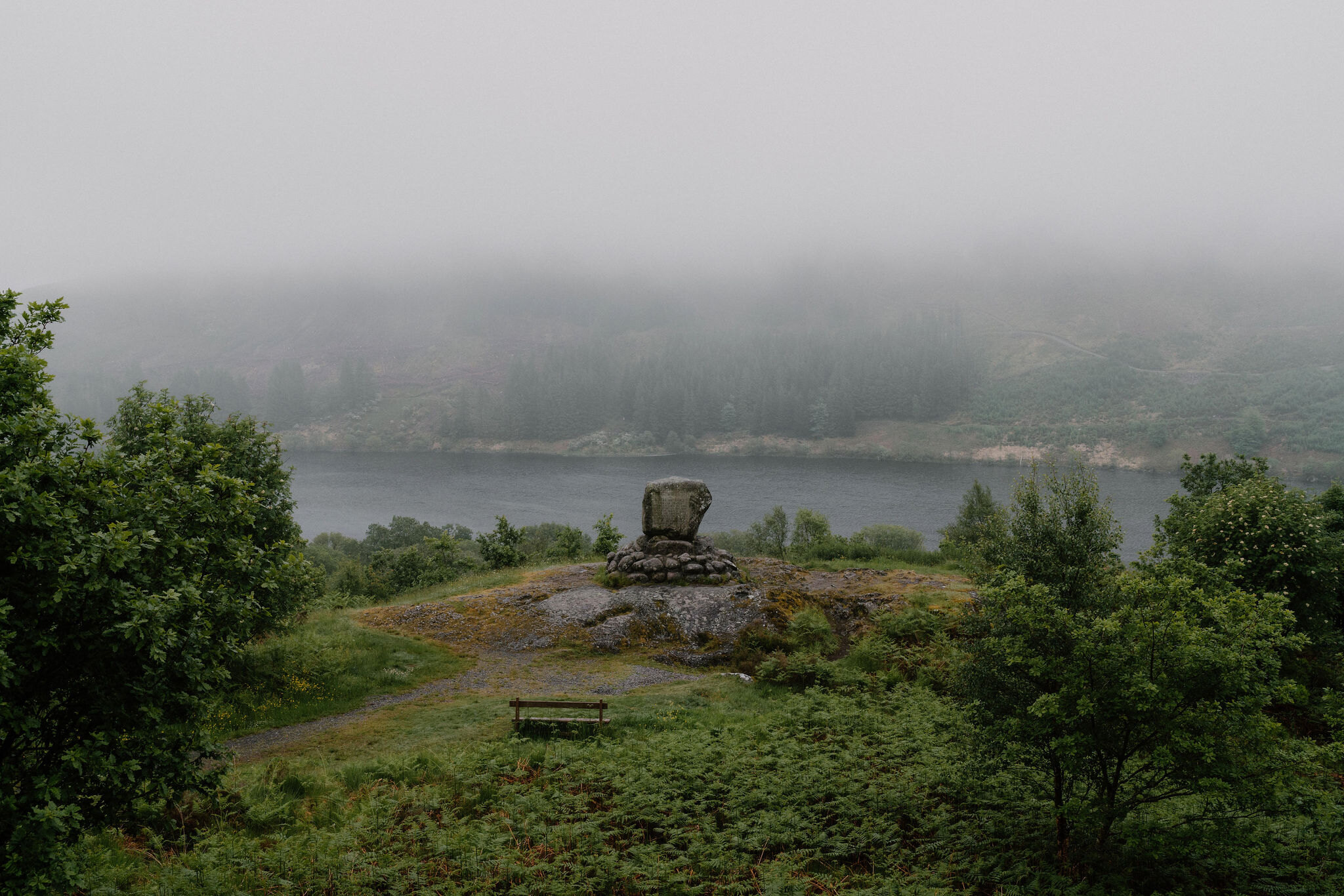
The Merrick – Galloway's Highest Hill
About 8.1 miles on foot.
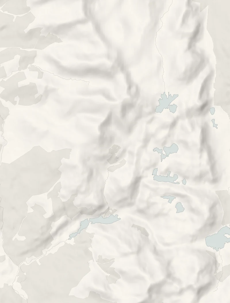
The Merrick is the highest hill in the Southern Uplands, rising above Loch Trool deep in the Galloway Forest Park.
A good path climbs all the way from the shore, past a waterfall and over Benyellary to the top, where on a clear day the view runs to Arran, Ailsa Craig, Ireland, the Isle of Man and the Lake District. It's a long, serious hill day for fit, well-prepared walkers.
- Time
- Most of a day: 8 miles up and back, or five to six hours for the 9-mile loop.
- The path
- A good, often surfaced hill path with some steep sections; Bruce's Stone is a short stroll from the car park.
- Where to start
- Forestry and Land Scotland's Bruce's Stone car park on the north shore of Loch Trool, free: the road signed for Bruce's Stone just north of Glentrool village runs 4 miles straight into it; postcode DG8 6SU.
- Set off
- The car park; the hill path and Bruce's Stone both start from it.
- When to go
- Open hill at all hours in daylight and clear weather; from November to February set off by 9am.
- Children
- A long, high hill walk of most of a day: for older children used to big hill days.
- Toilets
- None at the car park; the nearest, with accessible toilets, are at the Glentrool visitor centre 3 miles back, open only during café hours.
- Before you set out
- From November to February set off by 9am. After snow the top is a winter mountain.
The walk
Park free in Forestry and Land Scotland's Bruce's Stone car park on the north shore of Loch Trool: the road signed for Bruce's Stone, just north of Glentrool village, runs 4 miles straight into it. A short stroll from the car park brings you to Bruce's Stone, looking down the loch to the hills, where Robert the Bruce's men ambushed an English force in 1307. The path for the Merrick, 843 metres, climbs beside the Buchan Burn and its waterfall, past the Culsharg bothy (a simple hill shelter) and over Benyellary, then along the ridge to the summit.
Up and back the same way is 8 miles, on a good path that is steep in places. Scotland Off the Beaten Track allows five to six hours for its longer loop back by the lochs, so give it most of the day either way. The route isn't waymarked: take a map and compass, boots, waterproofs, warm layers and food, and turn back if the cloud comes down.
There are no toilets at the car park; the nearest are at the Glentrool visitor centre, 3 miles back down the road, open only while its café is. From November to February set off by 9am, and after snow it's a winter mountain. Check for ticks afterwards.
If it rains
The Merrick is no place in rain, wind or cloud: the top is high and open, and the view is the point. On a wet day walk the Loch Trool Loop instead, Forestry and Land Scotland's waymarked 9.2 km round the loch past Bruce's Stone (allow four hours), or save the hill for a clear day.
Before you go
Book accommodation nearby
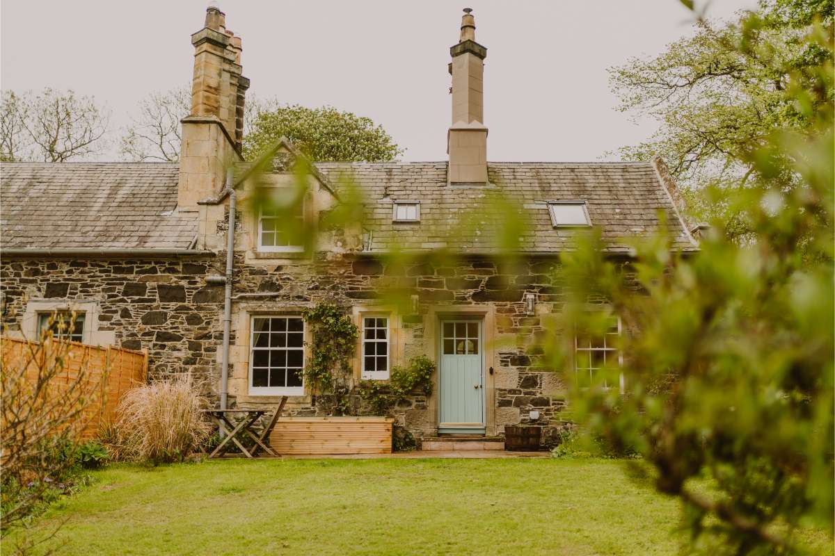
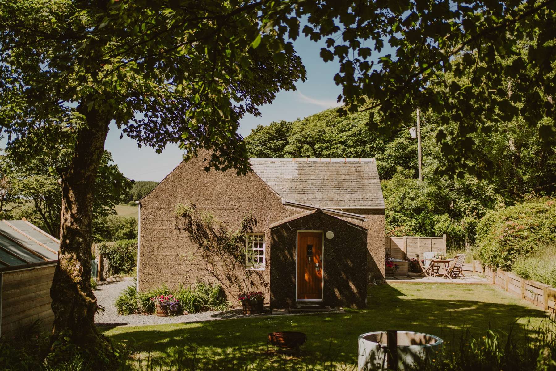
If you are staying over: here are ours nearest where the day starts and ends.
For further reading, before you go.