
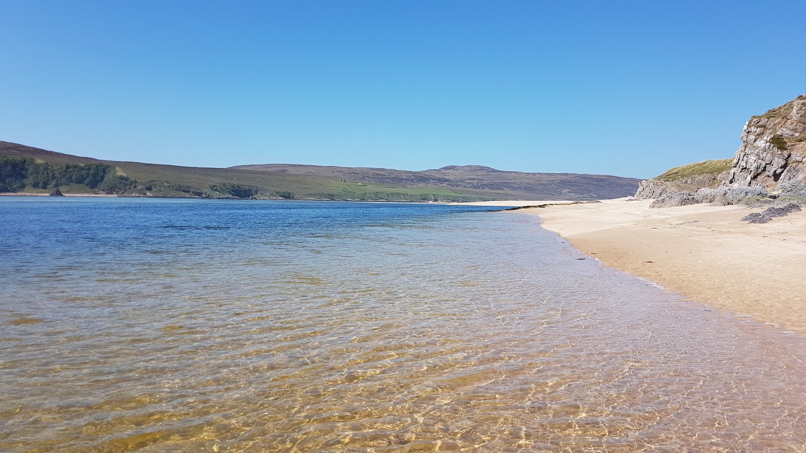
Kyle of Durness – A Wild Shore Walk from Balnakeil
6 miles · 3 to 5 hours · a loop
dogs on a lead
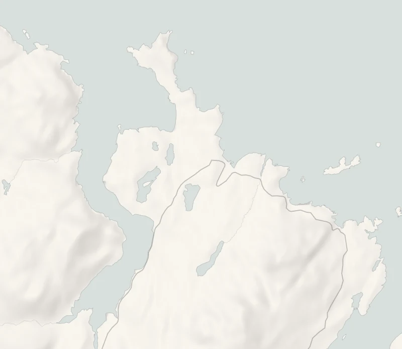
The Kyle of Durness is a long sea loch of sandbanks and channels on the west side of Durness, with its western shore empty of houses across the water.
A circuit from Balnakeil follows its wild eastern shore to the ferry pier at Keoldale, then comes back past Loch Croispol and its old parish school. Supper is at a hotel bar on the far side of the village.
Where it starts
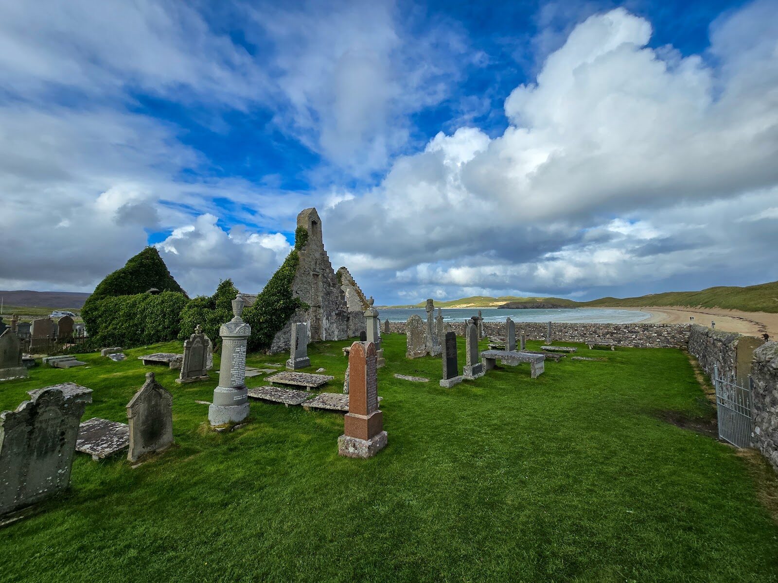
Start at the car park by the ruined church at Balnakeil, at the end of the little road from Durness.
Is it for me?
Tap who is coming, or the day you have, for the answer on this walk.
Before you go
On the path
Three to five hours: a circuit of about six miles (10 km) from Balnakeil along the shore of the Kyle of Durness to the Cape Wrath ferry pier at Keoldale, and back by the road and the Old Manse track past Loch Croispol. A wild route over dunes and grassy clifftops with no path surface, then a road and an old cart track. A long walk over rough ground: for older children used to hill walking, kept close.
Good to know
All year, in daylight. About 10.45am, to be back at the car about 2.15pm. Dogs on a lead: sheep graze the land north of Keoldale. Rough ground with no made path along the shore.
The walk
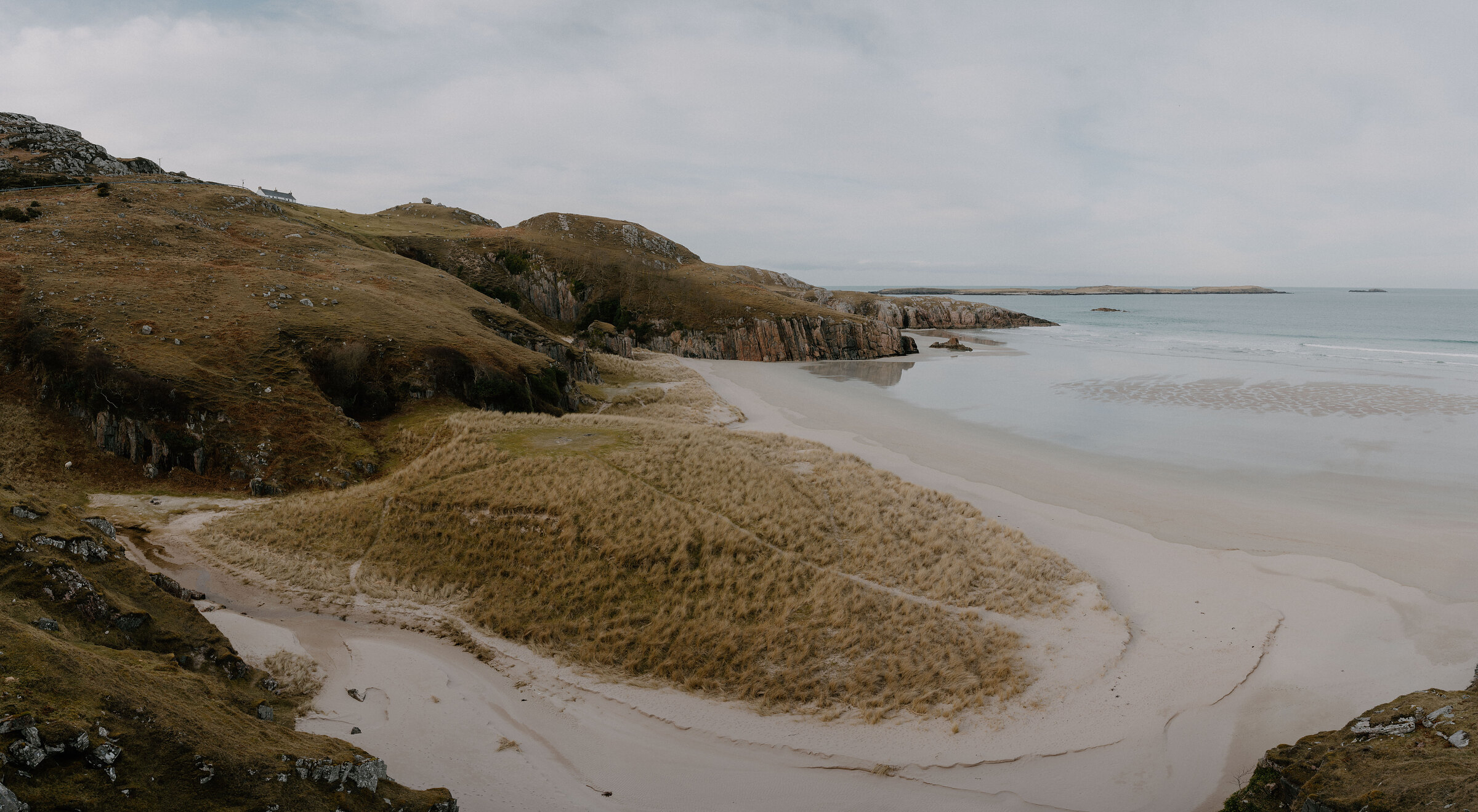
Park by the ruined church at Balnakeil, at the end of the little road from Durness. The circuit is about six miles (10 km) over rough ground: allow three to five hours. It crosses the golf course on the walkers' route, then follows the eastern shore of the Kyle of Durness over dunes and low clifftops to the Cape Wrath ferry pier at Keoldale.
On the way are the ruins of Solmar, a settlement lived in until the 1880s. There's no made path and it runs close to cliff edges in places, so wear boots, and keep off the sands, where the tide comes in very fast. Bring a picnic for the shelter by the pier.
The way back follows the road a short way, then the Old Manse track beside Loch Croispol, past the ruined parish schoolhouse of the 1760s. Keep a dog on a lead among the sheep north of Keoldale.
If it rains
The shore of the Kyle is exposed, so in wind and rain leave it for another day. From the car park, walk the Old Manse track instead to Loch Croispol and the old schoolhouse, about a mile each way on a cart track, then go on to supper. The walkway into Smoo Cave, beside the hotel, is free and sheltered under the rock, down a flight of steps.
On the way
- Smoo Cave
The great limestone mouth of Smoo Cave opens a few minutes' walk from the hotel, and a walkway leads in to the chamber where a burn falls through the roof. It's free and open every day, and fills the time before supper while there's still light.
Afterwards
8 min by car
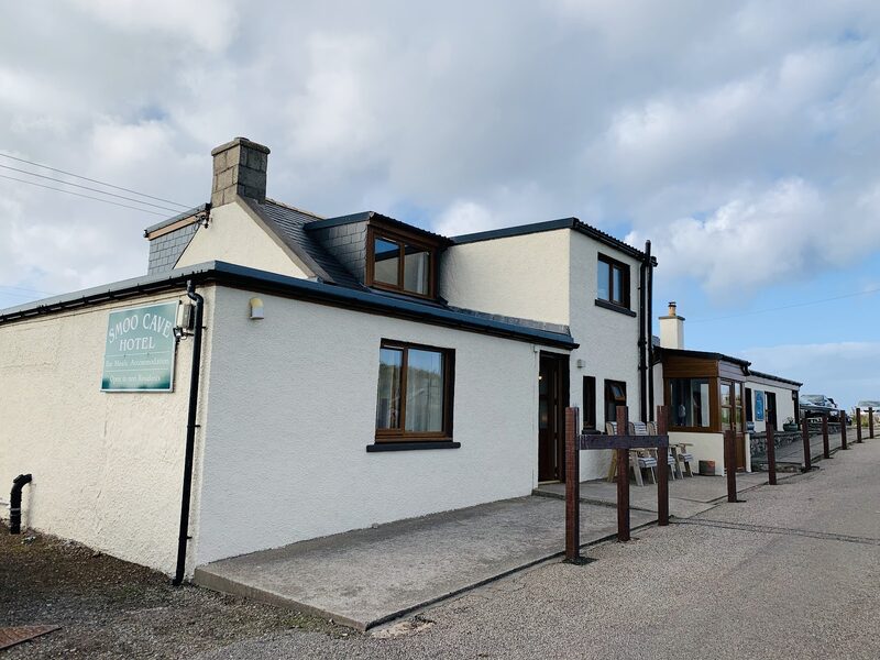
Smoo Cave Hotel
Supper
Supper is 8 minutes' drive east through Durness at the Smoo Cave Hotel at Lerin, just off the A838, with its own car park. It's open all year, tables are first come, first served, and dogs on leads are welcome in the bar.
After the walk
Coffee and cake, and something to do with the rest of the day, nearest the end of the walk first.
With the rest of the day
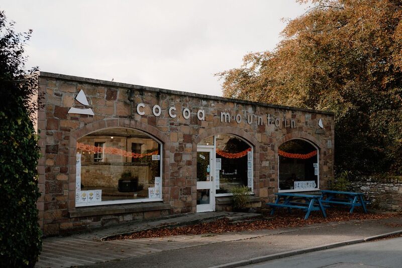
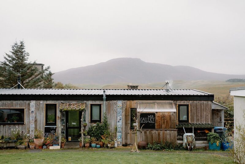 1 min by roadA shopBalnakeil Craft VillageA collection of old military buildings on the road to Balnakeil Bay, home for many years to artists and makers: galleries, ceramics, a chocolatier and more.
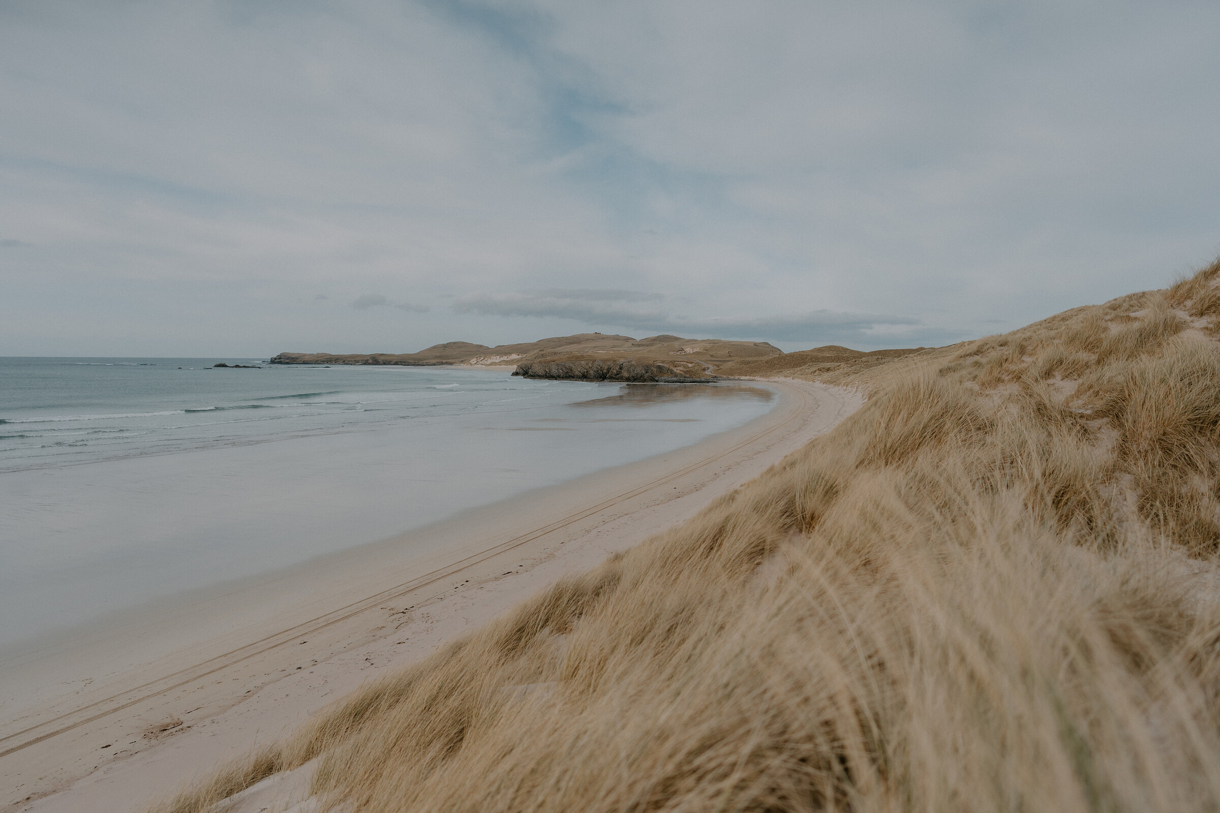
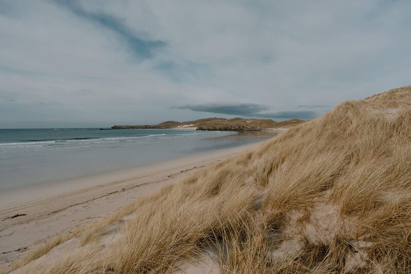 2 min by roadThings to doBalnakeil BeachA wide white beach backed by tall marram dunes, running from the old church at Balnakeil out towards Faraid Head, a mile from Durness.
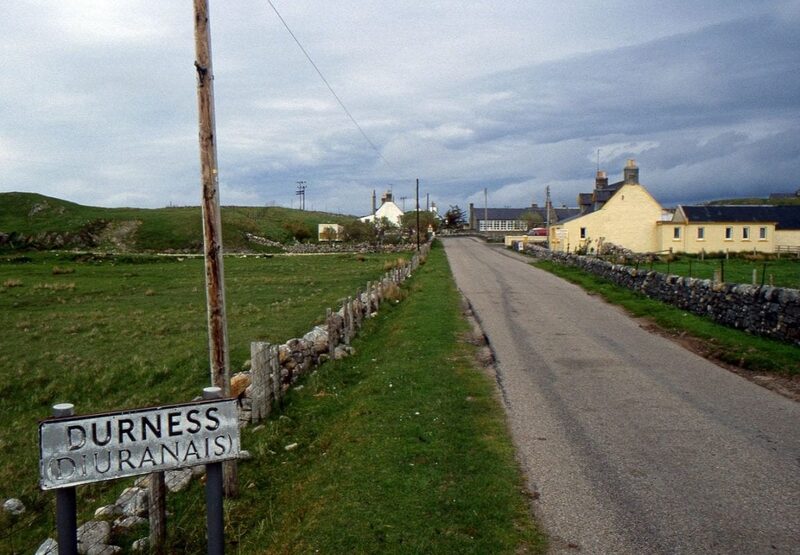 2 min by roadThings to doDurnessThe most north-westerly village on the mainland, above the sands of Sango Bay, with Smoo Cave on one side, Balnakeil on the other and places to stop and eat.
Places to stay near the walk
Our places to stay nearest the start, by road.
An advert · Laid
Shore Cottage
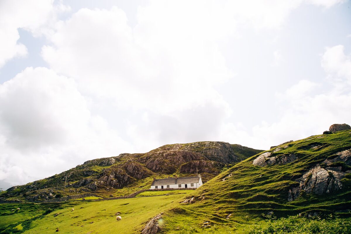
A cottage for two on the shore of Loch Eriboll, six miles east of Durness, with a wall of glass to the loch, a wood burner and a bath outside under the night sky.
Sleeps 2 · 14 minutes by road
See Shore Cottage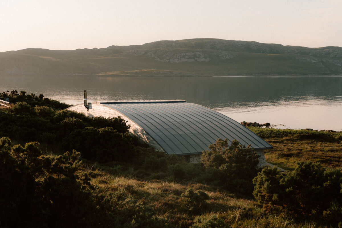
More places to stay near the walk

More walks near here
Within a short drive of the start.
Did this walk?
Tell the next person how it went. The best go on this page, with your name.
For further reading, before you go.
Photographs by Paul Manorbier and Alex Morgan via Google
Maps from OpenFreeMap © OpenMapTiles, data © OpenStreetMap contributors; heights from Mapzen's terrain tiles.