
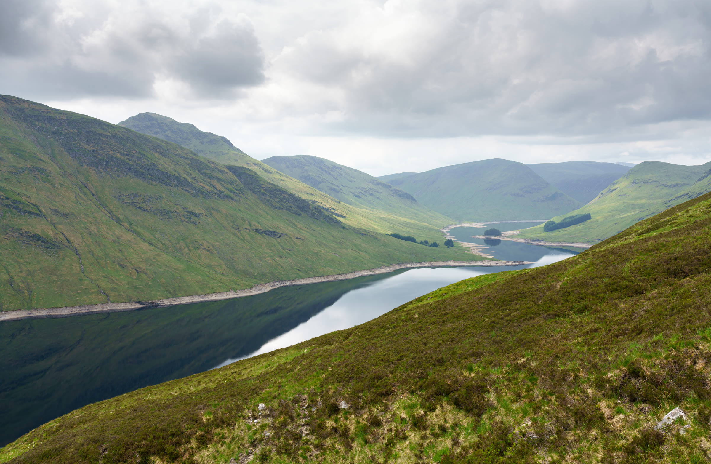
Stuc an Lochain – Round the Corrie Rim Above Loch an Daimh
About 5½ miles on foot.
Stuc an Lochain, 960 metres, stands on the south side of Loch an Daimh, above Glen Lyon.
The usual way up starts by the Giorra dam at the east end of the loch, climbs steeply to the ridge, then follows it west over Sron Chona Choirein to the summit, and comes back the same way. By our map it is about 8¾ km there and back with about 710 metres of climb, and it takes about 3½ to 4½ hours. The first climb is steep and eroded, and crags edge the ridge and the summit. It is a day for experienced hillwalkers who can find their way with a map and compass.
- Time
- About 3½ to 4½ hours there and back: about 8¾ km (5½ miles) and about 710 metres of climb by our map. From the car park below the Giorra dam on Loch an Daimh steeply up to the ridge, then west over Creag an Fheadain and Sron Chona Choirein to the summit, 960 metres, and back the same way.
- The path
- A tarred road and track past the dam, then a rough hill path over two small burns with no bridge and very steeply up to the ridge, eroded and muddy in the wet. A grassy ridge path beyond, with crags within about 20 metres of it in places and about 75 metres from the summit.
- Where to start
- A small car park below the Giorra dam at the east end of Loch an Daimh, with room for about ten cars and no facilities, one guide says; the nearest postcode it gives is PH15 2PP. The road to the dam leaves the Glen Lyon road west of Bridge of Balgie.
- Set off
- By car: both ways into Glen Lyon, from Fortingall or over the hill road from Loch Tay to Bridge of Balgie, are narrow, twisting single track and slow to drive, and in winter may be untreated.
- When to go
- All year in daylight, on a clear day with a good forecast.
- Dogs
- Keep dogs under close control on the hill, on a lead near livestock, and above all in the stalking season. The steep first climb is hard on less agile dogs, one guide says.
- Children
- A Munro of 960 metres with about 710 metres of climb, a very steep, eroded first slope and crags close to the ridge and the summit. The weather can close in fast. For older children used to hill days, with an adult who can navigate.
- Toilets
- The car park has no facilities, one guide says, so plan for no toilets at the start.
- Before you set out
- Under snow it is a winter mountain, with ice on the steep north-facing slope, cornices on the corrie rim, and no avalanche forecast. Stags may be stalked at any time of year, busiest in the first three weeks of October, and hinds from 21 October to 15 February, Mountaineering Scotland says.
The walk
The usual way up Stuc an Lochain starts by the Giorra dam at the east end of Loch an Daimh and comes back the same way. It climbs steeply to the ridge at Creag an Fheadain, then follows the ridge west over Sron Chona Choirein to the summit. By our map it is a little under 9 km (5½ miles) there and back, with about 710 metres of climb. Allow about 3½ to 4½ hours, more with stops, in poor weather or under snow. The summit is 960 metres up. No public body publishes this way, a distance or a time for it.
Stuc an Lochain, Stuchd an Lochain in Gaelic, stands on the south side of Loch an Daimh, above Glen Lyon. It is a hill of crags and corries, MunroMagic says, and its summit sits above the crags of its north face, over the small loch of Lochan nan Cat. Meall Buidhe, across the loch, is climbed from the same car park, and many walkers do both in a day. Another way comes up from Pubil in Glen Lyon to the south, a rougher approach with more climb, Steven Fallon says. This walk keeps to the way from the dam.
The road to the dam leaves the Glen Lyon road west of Bridge of Balgie and climbs to the east end of the loch. Both ways into Glen Lyon, from Fortingall or over the hill road from Loch Tay, are narrow, twisting single track and slow to drive, the Sunday Post says. In winter the roads may be untreated. There is a small car park below the dam, with room for about ten cars and no facilities, one guide says: the nearest postcode it gives is PH15 2PP. Plan for no toilets at the start. By our map an estate notice board stands beside it: read it before you set off.
Before you set off, check the mountain forecast, and under snow the snow and avalanche conditions too. It grows colder as you climb, about 1°C for every 100 metres, and the wind usually rises with height, MunroMagic says. Wear good walking boots and carry warm, waterproof clothing, food and drink. Carry a map and compass and know how to use them: MunroMagic says the way needs map reading and the ability to navigate with a compass. Phone reception in the Highlands is often patchy or missing, Mountaineering Scotland says. Leave word with someone of where you are going and when you will be back.
From the car park walk west along the road and cross the bridge over the Allt Conait below the dam. By our map there are gates at the bridge and just beyond it, and one is marked as locked, which may be to keep vehicles out: every guide read crosses the bridge on foot. A tarred road climbs beside the dam to its south end. Keep on along the track by the shore for about 170 metres, by our map, to a small cairn on the left, where a rough path leaves the track. It is easily missed: if you reach the building by the shore, you have gone too far. The track north from the car park leads to Meall Buidhe, not this walk.
The path crosses two small burns with no bridge, about 1 km and 1.2 km from the car park by our map. Then it turns almost straight uphill. It is very steep in places, badly eroded and muddy in wet weather, the Sunday Post says. The slope faces north and can hold snow and ice well into spring. On the way down this steep slope is where a slip is most likely, one guide warns: take it slowly.
The path reaches the ridge at a cairn, about 800 metres up and about 1.9 km from the car park by our map. A line of old fence posts leads along it, then a steep pull climbs to the 887 metre top of Creag an Fheadain. By our map crags lie within about 20 metres of the path on that climb. If the cloud is coming down, the wind is rising or anyone is tiring, turn back here. From the top the ridge turns south-west, dips, and climbs sharply to Sron Chona Choirein, 927 metres, its top about 100 metres off the path by our map.
From Sron Chona Choirein the path heads west round the rim of the corrie above Lochan nan Cat, then climbs briefly to the summit, 960 metres, with its cairn. By our map the corrie's crags lie within about 20 metres of the path on the right, to the north, and about 75 metres from the summit. Keep back from the edge, above all in mist. MunroMagic lists steep slopes and crags on or near the way up, and crags near the summit. A path goes on west from the summit towards Meall an Odhar and Glen Lyon: it is not this walk.
Under snow Stuc an Lochain is a winter mountain, for walkers with winter skills, an ice axe and crampons. The steep north-facing slope above the dam holds ice, and a slip there would be hard to stop, one guide warns. The ridge can be corniced on the side above Lochan nan Cat: keep well back from the edge. No avalanche forecast covers Stuc an Lochain. The Scottish Avalanche Information Service forecasts six other areas, which is no sign there is no risk here.
Stags may be stalked at any time of year, busiest in the first three weeks of October, and hinds from 21 October to 15 February, Mountaineering Scotland says. Most stalking takes place on weekdays, and often none on a Sunday. The Heading for the Scottish Hills tables give no stalking contact for this hill, so be ready to follow reasonable local guidance. Read the notice board at the start, and if in doubt keep to the well-known way.
The way down is the way you came: back east round the corrie rim, over Sron Chona Choirein to Creag an Fheadain, and down the steep path to the shore track. In cloud, check the line with your map and compass before you leave the summit, and again where the path leaves the ridge for the dam. In an emergency call 999 or 112 and ask for Police and Mountain Rescue. Give a six-figure grid reference and a named feature if you can, Mountaineering Scotland says. To be able to text 999 where a call will not connect, register first by texting the word register to 999.
If it rains
None on this walk: in rain, low cloud or a high wind, leave the summit for another day. The first climb is steep, eroded and muddy in the wet, two small burns are crossed with no bridge, and crags edge the ridge and the summit.
Before you go
Book accommodation nearby
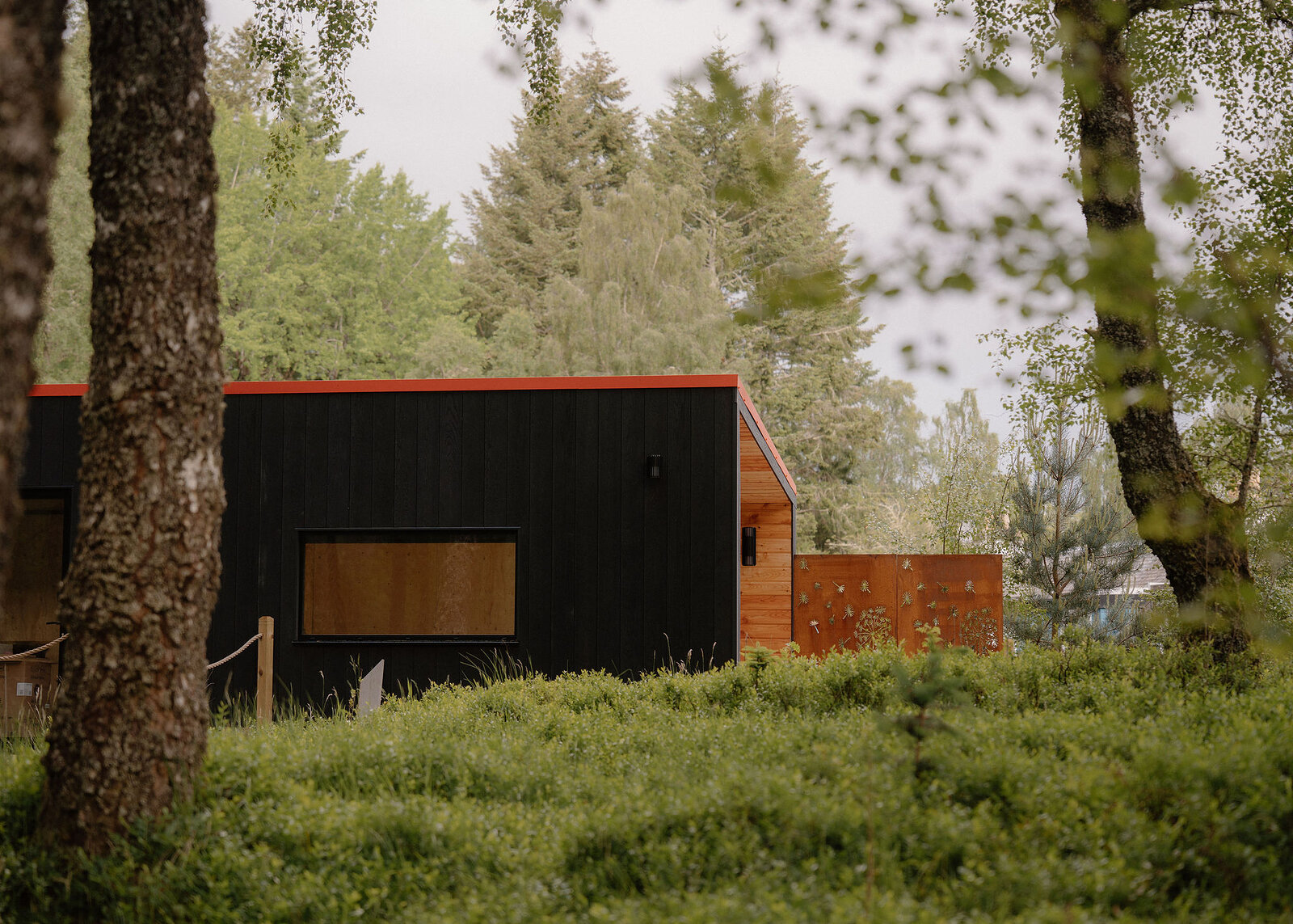
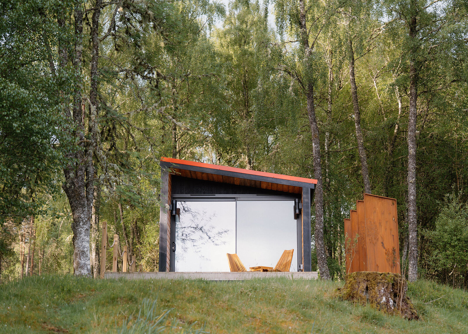
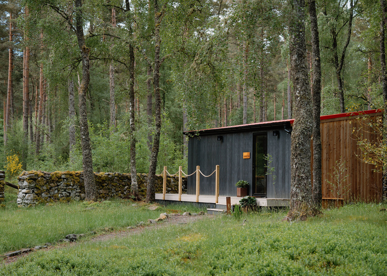
If you are staying over: here are ours nearest where the day starts and ends.
Find out more
For further reading, before you go.
- Stuc an Lochain, the Munro page, Hidden Scotland↗
- Heading for the Scottish Hills: stalking in the Central Highlands, Outdoor Access Scotlandoutdooraccess-scotland.scot↗
- Deer stalking, Mountaineering Scotlandmountaineering.scot↗
- Calling for help, Mountaineering Scotlandmountaineering.scot↗
- The Southeastern Highlands forecast, the Mountain Weather Information Servicemwis.org.uk↗
- The Met Office's South Grampian and Southeast Highlands mountain forecastweather.metoffice.gov.uk↗
- Avalanche forecasts, Scottish Avalanche Information Servicesais.gov.uk↗
Maps from OpenFreeMap © OpenMapTiles, data © OpenStreetMap contributors; heights from Mapzen's terrain tiles.