
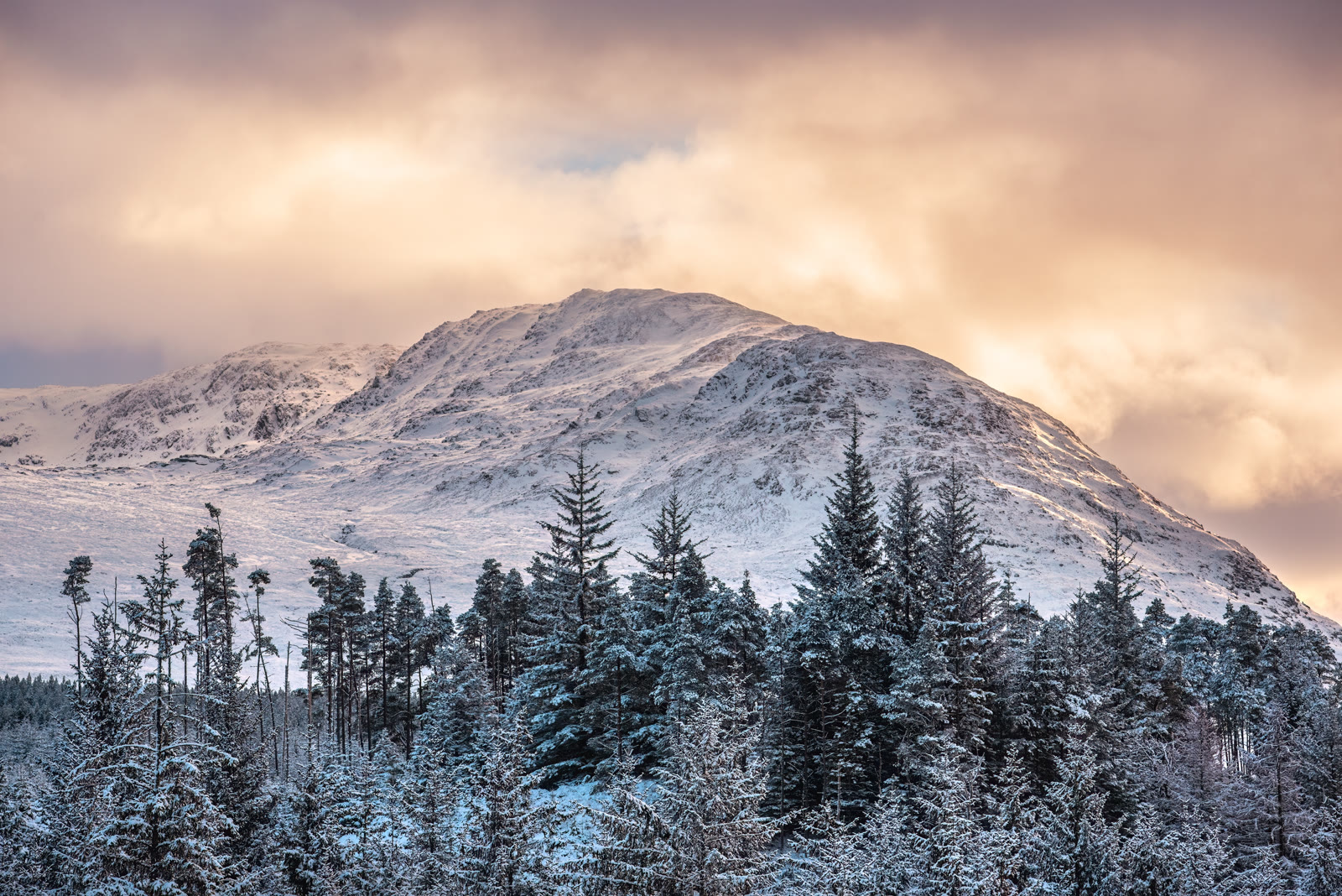
Stob Coire Sgriodain – Up the North Ridge Above Loch Treig
6 miles · 4 to 5 hours · a hill · there and back
Stob Coire Sgriodain, 979 metres, stands above the east shore of Loch Treig, between Glen Spean and Corrour.
The usual way up starts at Fersit, at the end of the Loch Treig road. It crosses a wet moor to the north ridge, climbs it over Sron na Garbh-bheinne to the summit, and comes back the same way. By our map it is about 10 km there and back with about 750 metres of climb, and it takes about 4 to 5 hours. The moor is boggy and the ridge steep and rocky, with crags falling to the loch. It is a day for hillwalkers who can find their way with a map and compass.
Where it starts
Start at the parking area at the end of the Loch Treig road at Fersit, just before the houses, where one guide finds ample room beside the rubbish and recycling bins.
Is it for me?
Tap who is coming, or the day you have, for the answer on this walk.
Before you go
Getting there
The Loch Treig road leaves the A86 about 13 km east of Spean Bridge and runs south for about 6 km to Fersit; by our map it is one lane wide. Start early enough to be down in daylight.
On the path
About 4 to 5 hours there and back: about 10 km (6 miles) and 750 metres of climb by our map, from Fersit over the moor and up the north ridge to the 979 metre summit and back the same way. A track over the River Treig and the railway by their bridges and past the farm at Fersit, then a faint path over a wet, tussocky moor and across a small burn, the Allt Fhearghais, with no bridge: after heavy rain turn back if the crossing looks unsafe. Then the steep, rocky north ridge, with crags near the top falling to Loch Treig. A steep Munro climb of about 750 metres over a boggy moor and a rocky ridge: for older children used to hill days, with an adult who can navigate. The map to carry is OS Landranger 41, Ben Nevis, Fort William & Glen Coe (1:50,000).
Good to know
All year in daylight, on a clear day with a good forecast. With a dog, give the cattle a wide berth: one walker tells of cattle roaming the fields beyond the farm at Fersit. None at the start: do not count on a toilet, a shop or fuel near the hill. Under snow it is a winter mountain, and no avalanche forecast covers it: the Lochaber avalanche forecasters have called the hills east of Loch Treig "no man's land". In the stalking season follow any signs on the day.
The walk
The usual way up Stob Coire Sgriodain starts at Fersit, at the end of the Loch Treig road, and climbs the hill's north ridge over Sron na Garbh-bheinne. By our map it is about 10 km (6 miles) there and back, with about 750 metres of climb. Allow about 4 to 5 hours, more with stops, in poor weather or under snow, and leave plenty of daylight for the way down. The summit is 979 metres up. The moor below the ridge is wet and the path over it faint, and the ridge itself is steep and rocky.
Stob Coire Sgriodain stands above the east shore of Loch Treig, one of the two Munros on that side of the loch. Most walkers join it to Chno Dearg, about two kilometres further east, in a round from Fersit. This walk goes up the north ridge to the summit and back, and no further. Corrour Estate counts both hills among its Munros and calls stalking a vital part of its habitat management, so follow any signs on the day.
The Loch Treig road leaves the A86 about 13 km east of Spean Bridge and runs south for about 6 km to Fersit, the guides say. By our map it is one lane wide. Park at the road's end, just before the houses, where one guide finds ample room beside the rubbish and recycling bins. Do not count on a toilet, a shop, fuel or a phone signal near the hill.
Before you set off, check the mountain forecast, and under snow the snow and avalanche conditions too, as Mountaineering Scotland advises for every trip. Even on a clear summer day it is often much colder and windier on the hill than below, Forestry and Land Scotland warns. Wear good walking boots and carry warm, waterproof clothing, plenty of food and drink, and a torch in case the day runs long. Carry a map and compass and know how to use them, and do not rely only on a phone or GPS: one guide rates the navigation here demanding.
From the parking, walk east down the track and over the River Treig and the railway by their bridges. Go through the gate and on past the houses and the farm. One walker tells of cattle roaming the fields beyond the farm: give them a wide berth. About a kilometre from the start, where the track bends, a path leaves it and heads south over the moor, by our map. It is faint in places, and the ground is wet and tussocky, so expect to pick your way between the boggy patches.
After nearly 2 km of moor the path reaches the foot of the north ridge. By our map it crosses a small burn, the Allt Fhearghais, near here, with no bridge. Burns can rise fast in a day, so after heavy rain turn back if the crossing looks unsafe. Then the climb begins in earnest, up the steep, rocky nose of Sron na Garbh-bheinne. There are crags on the way up, which can generally be bypassed, one guide says, and there are false tops before the summit.
The last few hundred metres run along the ridge above Coire Sgriodain, whose crags fall steeply to Loch Treig. Keep well back from the edge, above all in wind or cloud. The summit is 979 metres, with a small cairn and the Easains across the loch.
Out on the hill there are no waymarks or signposts, and paths are not always easy to follow. If the cloud is coming down, the wind is rising or anyone is tiring, turn back: Forestry and Land Scotland asks walkers to turn back if they get tired. Under snow it is a winter mountain, and no avalanche forecast covers it. The Lochaber avalanche forecasters have called the hills east of Loch Treig "no man's land", between their two areas. Having no forecast does not mean there is no risk.
The way down is the way you came: back along the ridge, down the nose with care, over the moor and through Fersit to the road. In cloud take a bearing for the north ridge from the summit, because the path also runs on south towards Chno Dearg. The round over Chno Dearg is a longer day, and not this walk. In an emergency dial 999, ask for the police and then for mountain rescue, Lochaber Mountain Rescue Team says: its ground runs east to Corrour.
If it rains
None on this walk: in rain, low cloud or a high wind, leave the summit for another day. There are no waymarks on the hill, the moor is boggy, the burns can run high after rain, and Forestry and Land Scotland asks walkers to turn back if they get tired.
Places to stay near the walk
Our places to stay nearest the start, by road.
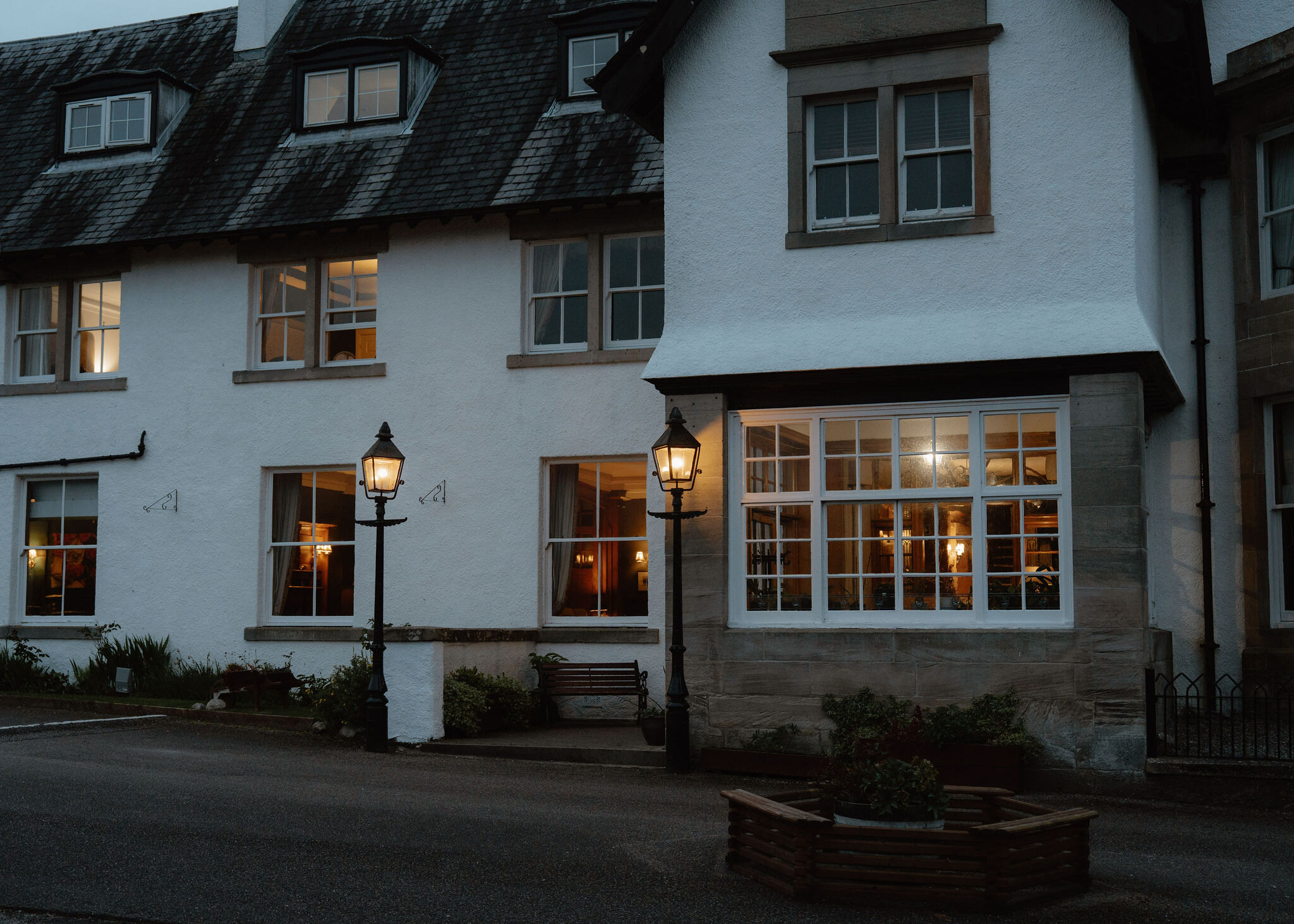
None of ours is close to the start. The nearest is The Lovat Hotel in Fort Augustus, 33 miles from the start. An advert.
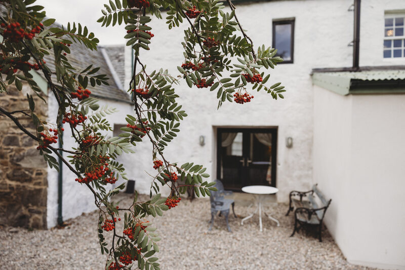
Then Cairngorms Church Hill House in Kingussie, 34 miles from the start. Sleeps 4. An advert.
Did this walk?
Tell the next person how it went. The best go on this page, with your name.
Find out more
For further reading, before you go.
- Stob Coire Sgriodain, the Munro page, Hidden Scotland↗
- Mountain access and safe hillwalking, Forestry and Land Scotlandforestryandland.gov.scot↗
- Safety and skills, Mountaineering Scotlandmountaineering.scot↗
- Avalanche forecasts, Scottish Avalanche Information Servicesais.gov.uk↗
- Lochaber Mountain Rescue Teamlochabermrt.co.uk↗
- West Highlands forecast, Mountain Weather Information Servicemwis.org.uk↗
Maps from OpenFreeMap © OpenMapTiles, data © OpenStreetMap contributors; heights from Mapzen's terrain tiles.