
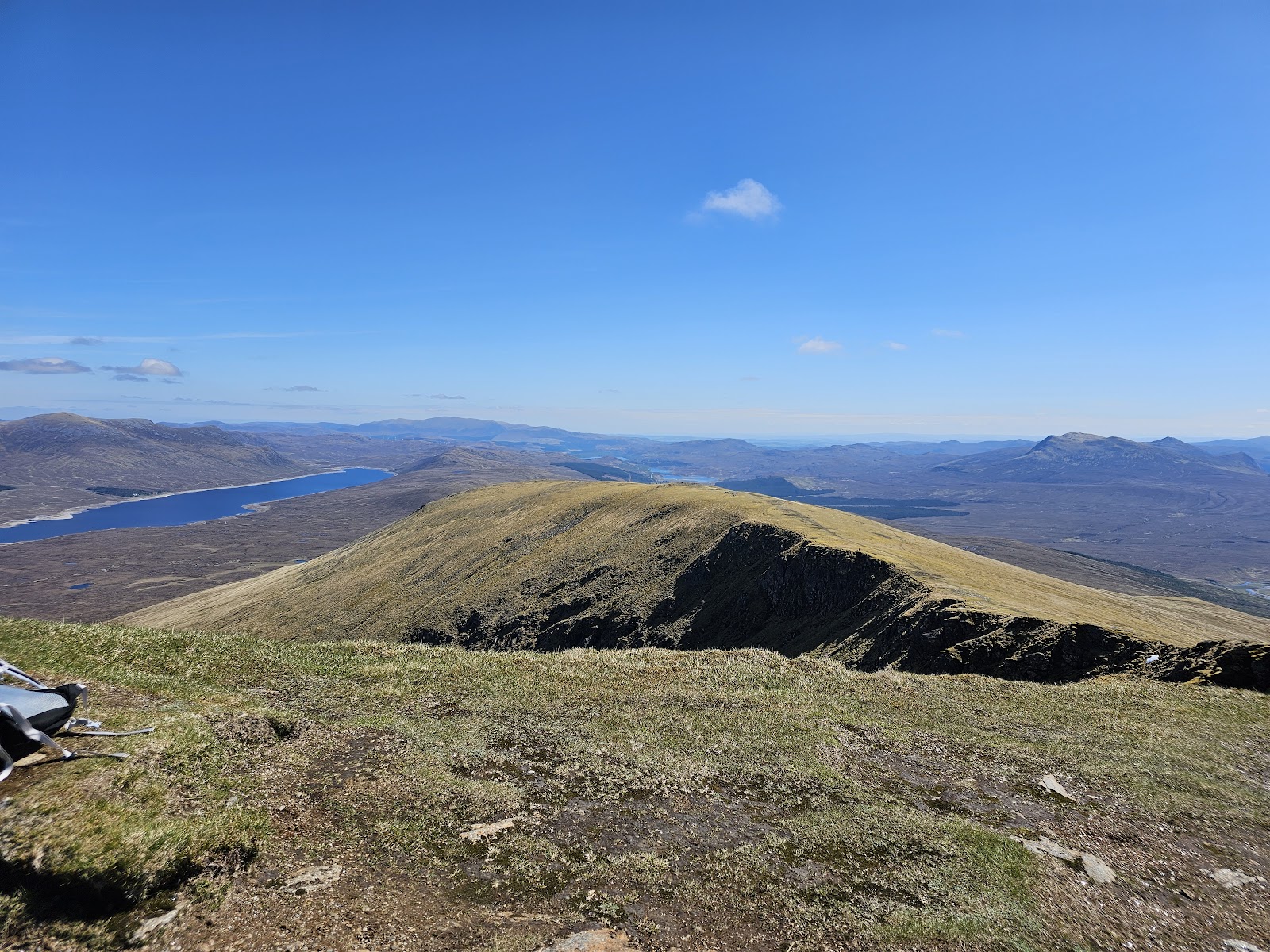
Fionn Bheinn – Up by the Burn from Achnasheen Station
About 6 miles on foot.
Fionn Bheinn, 933 metres, stands alone above Achnasheen, and its usual way up starts beside the village's railway station.
The old road and a track lead out of the village. Then a hill path climbs beside the Allt Achadh na Sine towards Creagan nan Laogh and north to the summit ridge, and the way back is the same. By our map it is about 9½ km there and back with about 775 metres of climb, and it takes about 4 to 5 hours. The ground is rough, wet and boggy, and the summit sits on the edge of a craggy corrie. It is a day for experienced hillwalkers who can find their way with a map and compass.
- Time
- About 4 to 5 hours there and back: about 9½ km (5¾ miles) and about 775 metres of climb by our map. From Achnasheen station over the old stone bridge, up the path beside the Allt Achadh na Sine towards Creagan nan Laogh and north to the summit ridge, west to the summit, 933 metres, and back the same way.
- The path
- A short stretch of road and pavement, a track and gates, then a rough, faint hill path, boggy through heather, grass and marsh, steep in places, with small streams to cross high up and no bridge. The summit stands on the edge of a craggy corrie.
- Where to start
- Achnasheen station, off the A832, IV22 2EJ: National Rail lists four parking spaces. One guide notes room for two or three cars by the red phone box where the walk leaves the road.
- Set off
- By train to Achnasheen, on the line from Inverness to Kyle of Lochalsh: check train times with National Rail. By car on the A832 between Dingwall and Torridon. A bus stops beside the station, but services are few, so check them before you rely on one.
- When to go
- All year in daylight, on a clear day with a good forecast.
- Dogs
- Keep dogs under close control on the hill, and on a lead near livestock and ground-nesting birds.
- Children
- A Munro of 933 metres with about 775 metres of climb, rough boggy ground, streams to cross high up and a craggy corrie edge at the summit. The weather can close in fast. For older children used to hill days, with an adult who can navigate.
- Toilets
- Forestry and Land Scotland says there are toilets in Achnasheen, though Highland Council lists no public toilet there. The station has no refreshments, National Rail says.
- Before you set out
- Under snow it is a winter mountain, and there is no avalanche forecast for this hill. Who owns the hill, and whether and when it is stalked, is not confirmed: watch for signs on the day.
The walk
The usual way up Fionn Bheinn starts beside the railway station in Achnasheen and comes back the same way. It follows the old road over a stone bridge and a track past the houses, then a hill path up beside the Allt Achadh na Sine to the summit ridge. By our map it is about 9.4 km (5¾ miles) there and back, with about 775 metres of climb. Allow about 4 to 5 hours, more in poor weather or under snow. The summit is 933 metres up, and the station about 150 metres. No public body publishes a distance or a time for this way.
Fionn Bheinn stands by itself above Achnasheen, on the south side of Loch Fannich. It is counted with the Fannichs, but its nearest Munro neighbour, Sgurr nan Each, is about eight and a half kilometres away to the north-east. Its summit sits on the edge of a high corrie, Toll Mòr, above steep, craggy slopes, MunroMagic says. There are other ways up, from the east over Sail an Tuim Bhain, and a longer round over Meall a' Chaorainn to the west. This walk climbs Fionn Bheinn alone by the usual way from the south and comes back by the same path.
Achnasheen is on the A832 between Dingwall and Torridon, and on the railway from Inverness to Kyle of Lochalsh. The station is off the A832, postcode IV22 2EJ, and National Rail lists four parking spaces there. One guide notes room for two or three cars by the red phone box where the walk leaves the road. Check train times with National Rail before you go. A bus stops beside the station, but services are few, so check them before you rely on one. The station has no refreshments. Forestry and Land Scotland says there are toilets and places to eat in Achnasheen, though Highland Council lists no public toilet there.
Before you set off, check the mountain forecast, and under snow the snow and avalanche conditions too. It grows colder as you climb, about 1°C for every 100 metres, and the wind usually rises with height, MunroMagic says. Wear good walking boots and carry warm, waterproof clothing, food and drink. Carry a map and compass and know how to use them: on open ground in poor visibility, MunroMagic warns, following paths without a compass may get you lost. Phone reception in the Highlands is often patchy or missing, Mountaineering Scotland says. Leave word with someone of where you are going and when you will be back.
From the station walk west along Station Road to the A832, then a few metres along its pavement to the old road by a red phone box. A sign points the way over the old stone bridge on the Allt Achadh na Sine. Just beyond it, turn right through a signed gate onto a track that climbs past a house. By our map the track crosses the burn on a small bridge about 450 metres from the station, and the hill path begins at a gate just after it. There is a locked gate in a deer fence by the water board's buildings: one guide says the gate behind the buildings should be open.
Beyond, a faint path climbs with the burn on your left and a fence on your right. It goes round a small fenced water tank to a last gate, about 1 km from the station by our map, and then it is open hillside. The path is rough and soggy through heather, then grass and marsh, and one guide warns of boggy and sometimes pathless ground. By our map it is steepest between about 1 km and 1.8 km, climbing up to about 30 metres in every 100. About 2 km from the station it passes a small dam on the burn, and about 2.6 km out a track meets it: keep to the path.
The path climbs on towards Creagan nan Laogh, then turns north over flatter ground towards the main ridge. Between about 3.5 km and 3.7 km from the station, by our map, small streams cross the path with no bridge. Stream levels can rise markedly in a single day, MunroMagic says: turn back if one is too full to cross. About 4.45 km from the station and about 880 metres up, by our map, the path meets the crest and turns west along it to the summit. If the cloud is coming down, the wind is rising or anyone is tiring, turn back.
The summit, 933 metres, has a trig point, one guide says. It stands on the very edge of Toll Mòr: by our map the crags of the corrie rim lie about 16 metres from the path along the crest, and about 23 metres from the summit. MunroMagic lists steep slopes on or near the ways up. Keep back from the edge, above all in mist, in a high wind or under snow. On a clear day the Torridon hills stand out to the west.
Under snow Fionn Bheinn is a winter mountain, for walkers with winter skills, an ice axe and crampons. The corrie often holds snow well into spring, one guide says. There is no avalanche forecast for this hill. The Torridon forecasters apply what they learn in their core hills to more outlying mountains such as the Fannichs. Forecasts begin on 17 December 2026, and no forecast does not mean no risk.
Who owns the hill, and whether and when it is stalked, is not confirmed. Mountaineering Scotland says the busiest stalking is in the first three weeks of October for stags and from mid-January to mid-February for hinds. Watch for signs on the day and follow reasonable advice from the land managers. Keep dogs under close control.
The way down is the way you came: east along the crest, then south off the ridge on the path towards Creagan nan Laogh and down beside the burn. In cloud, check the line with your map and compass before you leave the summit. The path on east along the crest goes to Sail an Tuim Bhain and is not this walk. In an emergency call 999 or 112 and ask for Police and Mountain Rescue. Give a six-figure grid reference and a named feature if you can, Mountaineering Scotland says. To be able to text 999 where a call will not connect, register first by texting the word register to 999.
If it rains
None on this walk: in rain, low cloud or a high wind, leave the summit for another day. The ground is boggy, the streams high up rise fast, and the summit stands on the edge of a craggy corrie.
Before you go
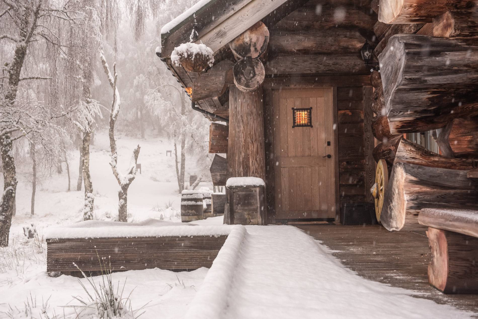
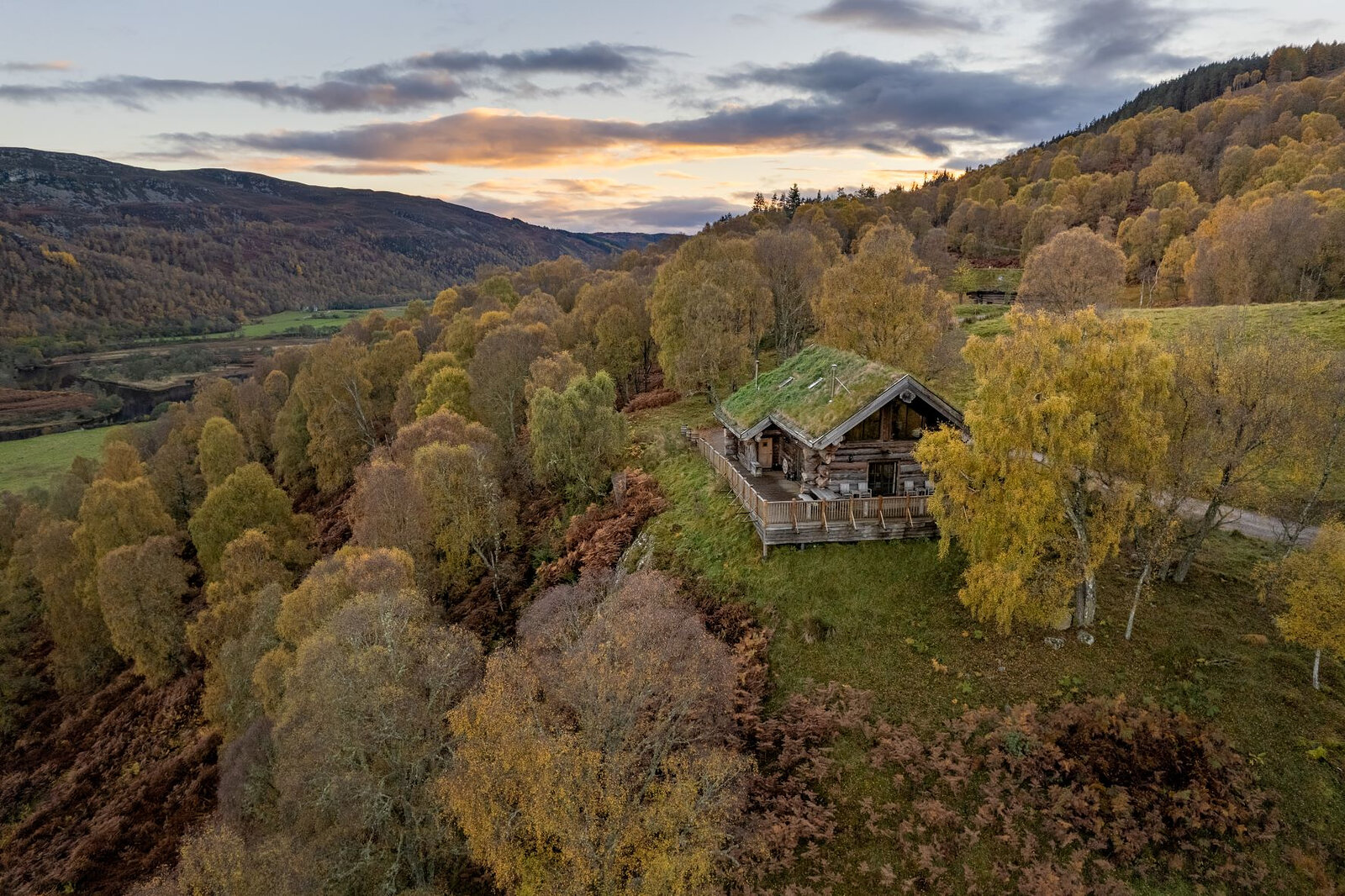
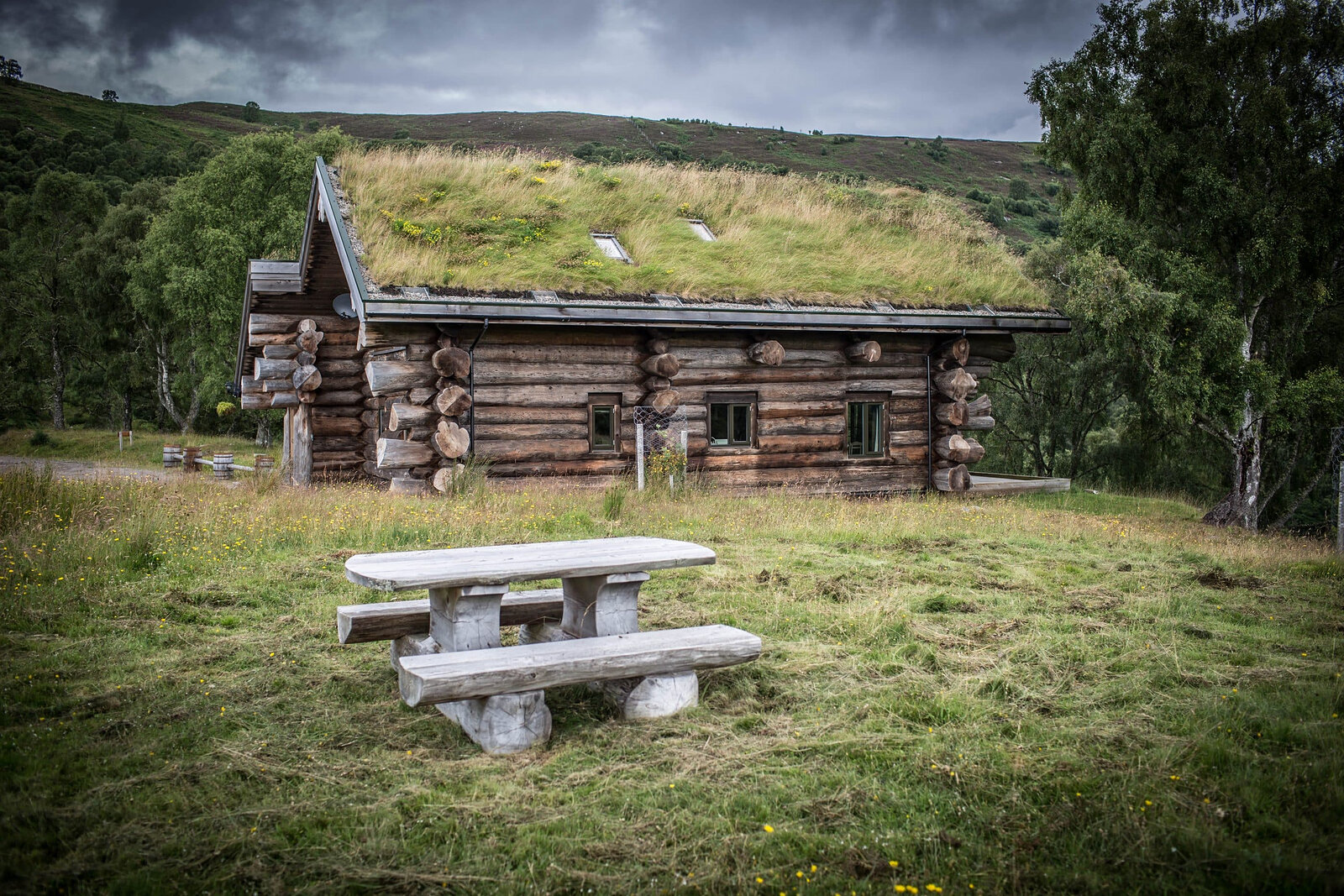
Book accommodation nearby
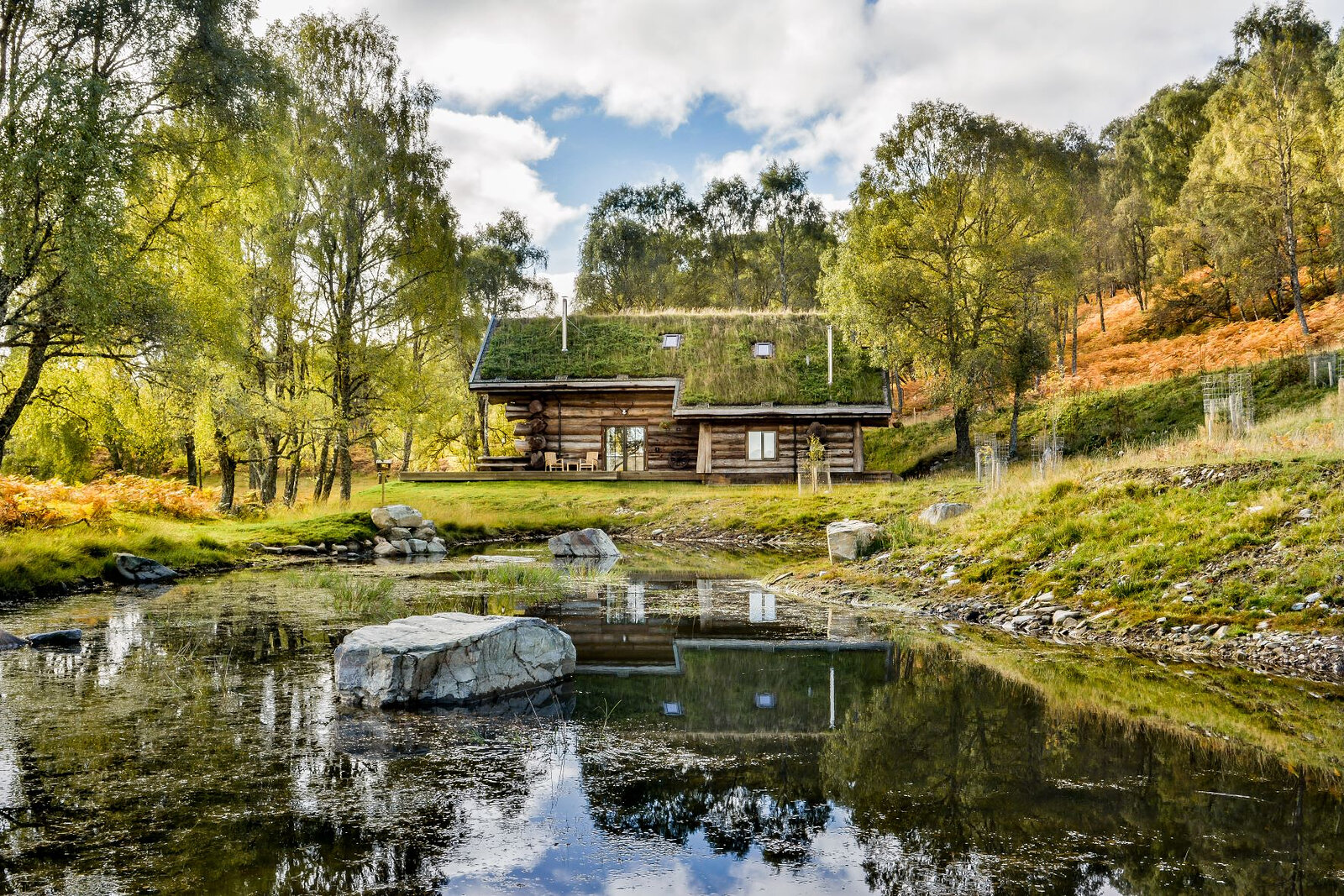
If you are staying over: here are ours nearest where the day starts and ends.
Find out more
For further reading, before you go.
- Fionn Bheinn, the Munro page, Hidden Scotland↗
- Car-free walks, Mountaineering Scotlandmountaineering.scot↗
- Achnasheen station, National Railnationalrail.co.uk↗
- Deer stalking, Mountaineering Scotlandmountaineering.scot↗
- Calling for help, Mountaineering Scotlandmountaineering.scot↗
- The Northwest Highlands forecast, the Mountain Weather Information Servicemwis.org.uk↗
- The Met Office's forecast for the summit of Fionn Bheinnweather.metoffice.gov.uk↗
- Torridon avalanche forecast, Scottish Avalanche Information Servicesais.gov.uk↗
Photograph by Sue savage via Google
Maps from OpenFreeMap © OpenMapTiles, data © OpenStreetMap contributors; heights from Mapzen's terrain tiles.