
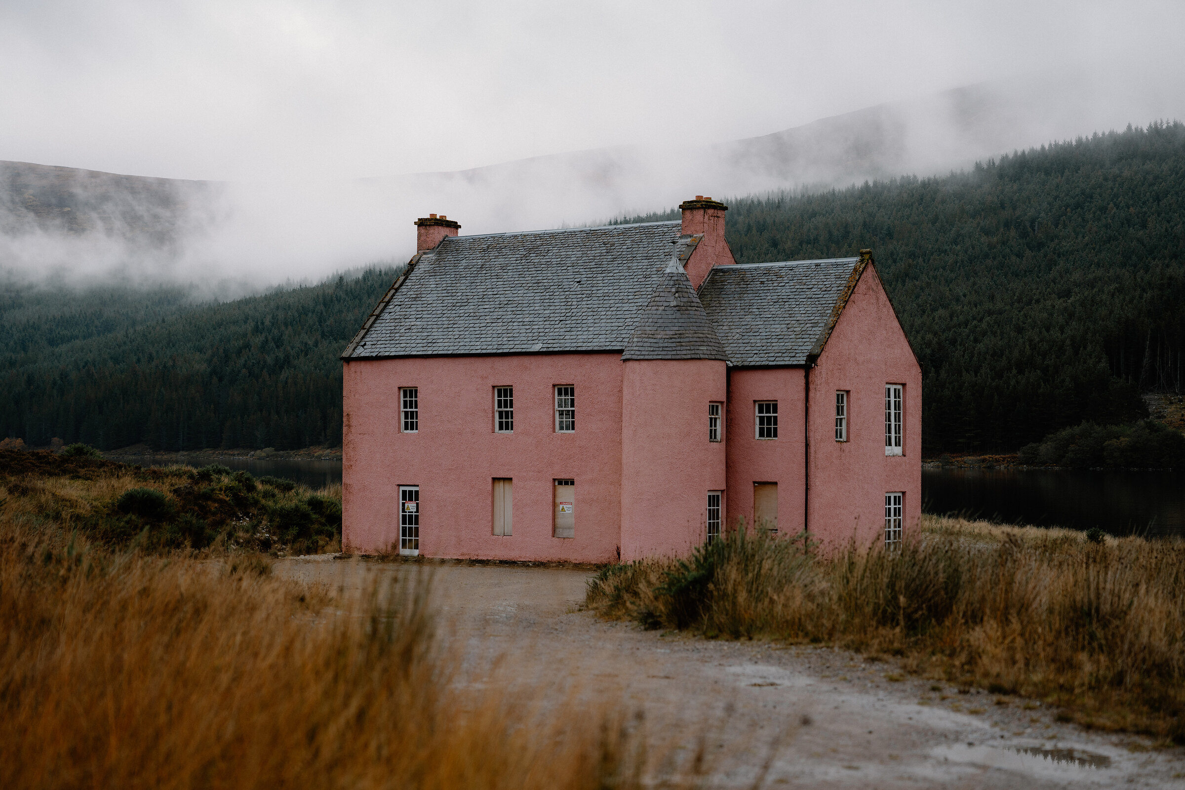
Loch Glass – A Walk to the Pink House
3½ miles · 1 to 1½ hours · flat · there and back
dogs welcome
High in the hills above Evanton, below Ben Wyvis, a pink house stands on its own on the shore of Loch Glass.
Many people know it from photographs before they ever see it.
Where it starts
By the forestry gates, about 300 metres short of Eileanach Lodge at the end of the Glenglass Road.
Is it for me?
Tap who is coming, or the day you have, for the answer on this walk.
Before you go
On the path
No steps; the track is level but unsurfaced. For children, a level track all the way. The map to carry is OS Explorer 437, Ben Wyvis & Strathpeffer (1:25,000); OS Landranger 20, Beinn Dearg & Loch Broom (1:50,000) shows the country round it.
Good to know
All year. Dogs kept under control, as the Scottish Outdoor Access Code asks. None on the walk; there are public toilets down in Evanton.
The walk
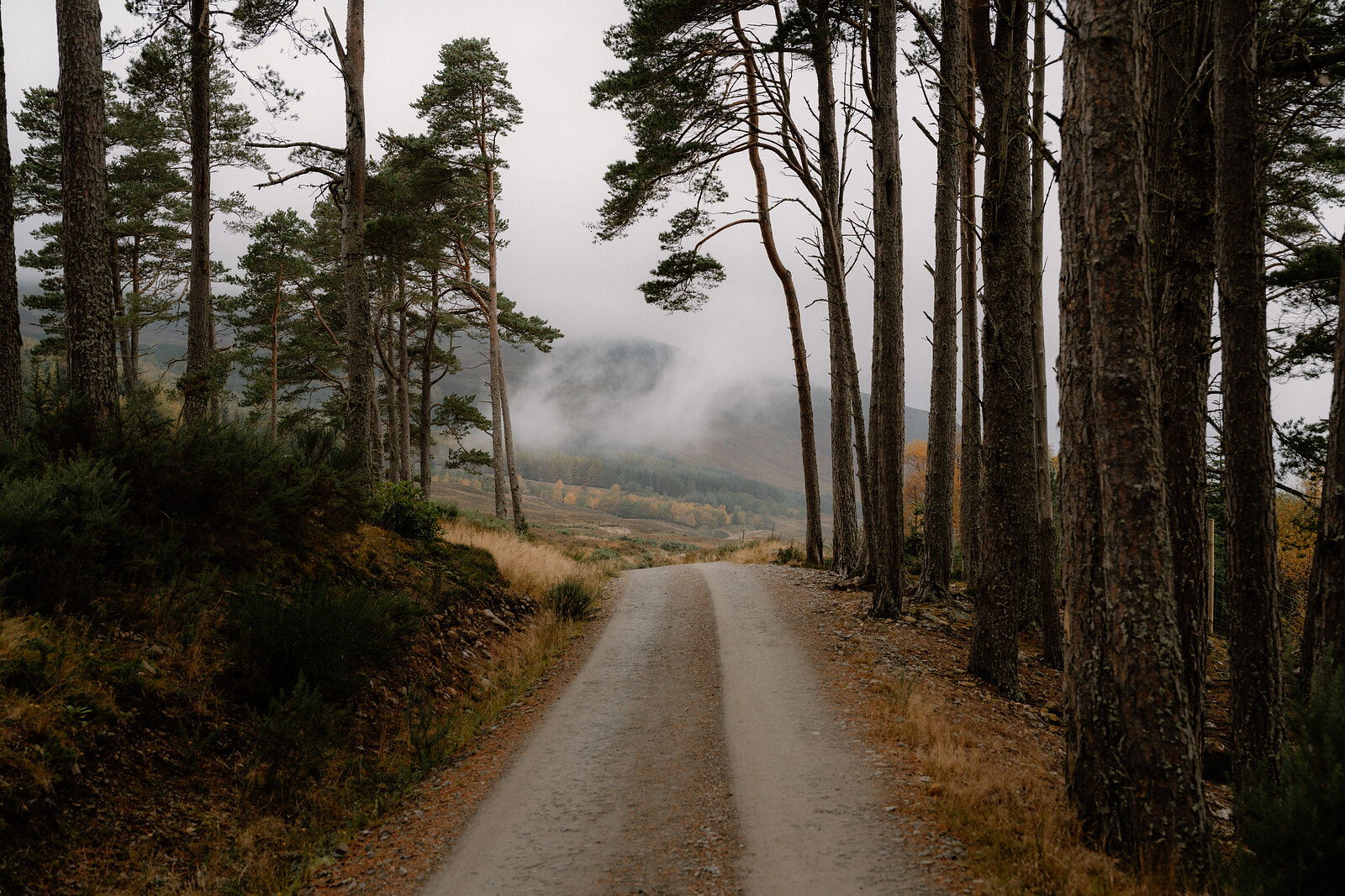
The walk starts at the end of the Glenglass Road, at the white gates of Eileanach Lodge, and goes out to the Pink House on the shore of Loch Glass and back the same way. It is about 3½ miles there and back from the lodge gates, about 3¾ from the forestry gates where you park, and takes an hour to an hour and a half, longer with time at the house. The ground is a wide estate track, unsurfaced, with no steps, rising and falling gently.
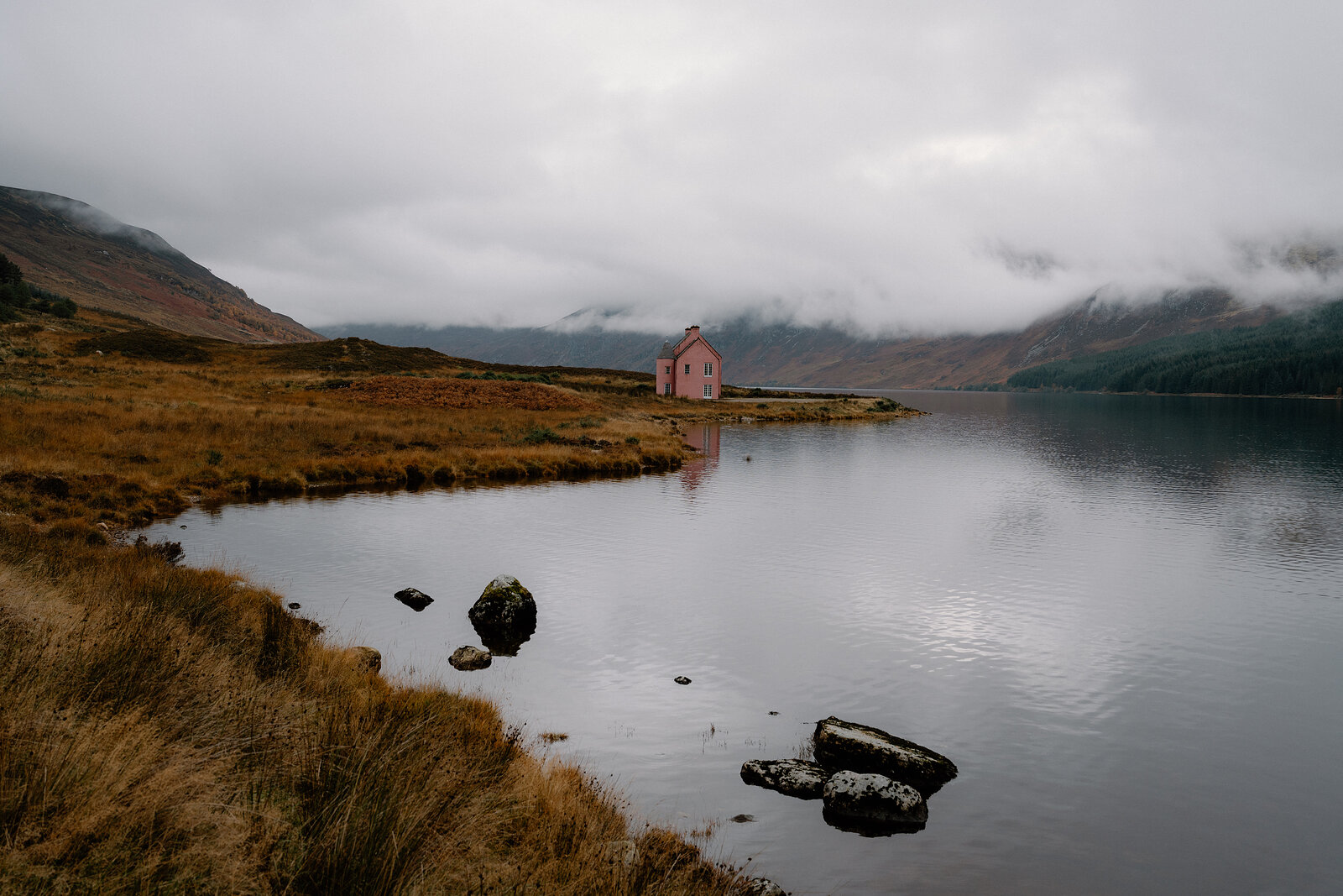
Eileanach Lodge is a private house, so keep to the track as it passes. Most of the way out runs through a forestry plantation on the Wyvis Estate. Where the trees end, the loch lies ahead, Meall Mòr rises on its far side, and the pink walls already show further along the shore.
Short of the house, a small pebble beach is the gentlest way into the water for a paddle or a swim. The loch is sheltered and still, and cold in most months: about two or three degrees in early spring.
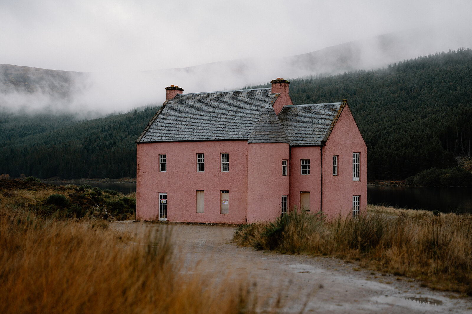
Close to, the Pink House is an empty shell. It has pink harled walls, slate roofs and a round turret at one corner, but no floors inside, and the lower windows are painted on. There is no way in, so it is seen from the track and the shore. No one is known to have lived in it, and the story told locally is that it was left unfinished when planning permission was refused. Some know it as Culzie Lodge, a name the Ordnance Survey map puts on a spot further along the loch. The house and the loch had a part in the finale of the first series of The Traitors, too.
The track runs on up the loch, but the house is where this walk turns back. There is no café on the way, so bring a picnic for the beach or the heather beside the house.
If it rains
In light rain the walk still goes ahead in waterproofs; Ben Wyvis may be in cloud, but the pink walls stand out under a grey sky.
On the way
- Black Rock Gorge
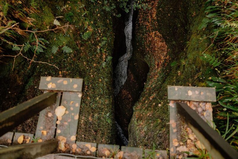
Black Rock Gorge is in the woods just above Evanton, on the way to the Glenglass Road. From the village car park in Evanton, by the Cornerstone Café, a path climbs through Evanton Wood beside the river to two footbridges, where you look straight down into a narrow slot of red sandstone up to 36 metres deep.
After the walk
Something to do with the rest of the day, and dinner, nearest the end of the walk first.
With the rest of the day
For dinner
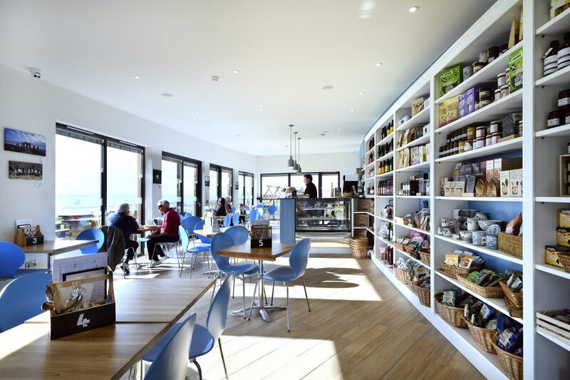
Highland Farm Cafe in Mountgerald, 21 minutes by road. A timber eco-café on a farm above the Cromarty Firth near Dingwall, with local food and home baking, a deli of Highland produce, a play area and firth views.
Places to stay near the walk
Our places to stay nearest the start, by road.
An advert · Balblair
Newhall Mains
Five serviced cottages on a working farm on the Black Isle, with dinner cooked by the estate kitchen, a sauna and its own grass airstrip.
24 minutes by road
See Newhall Mains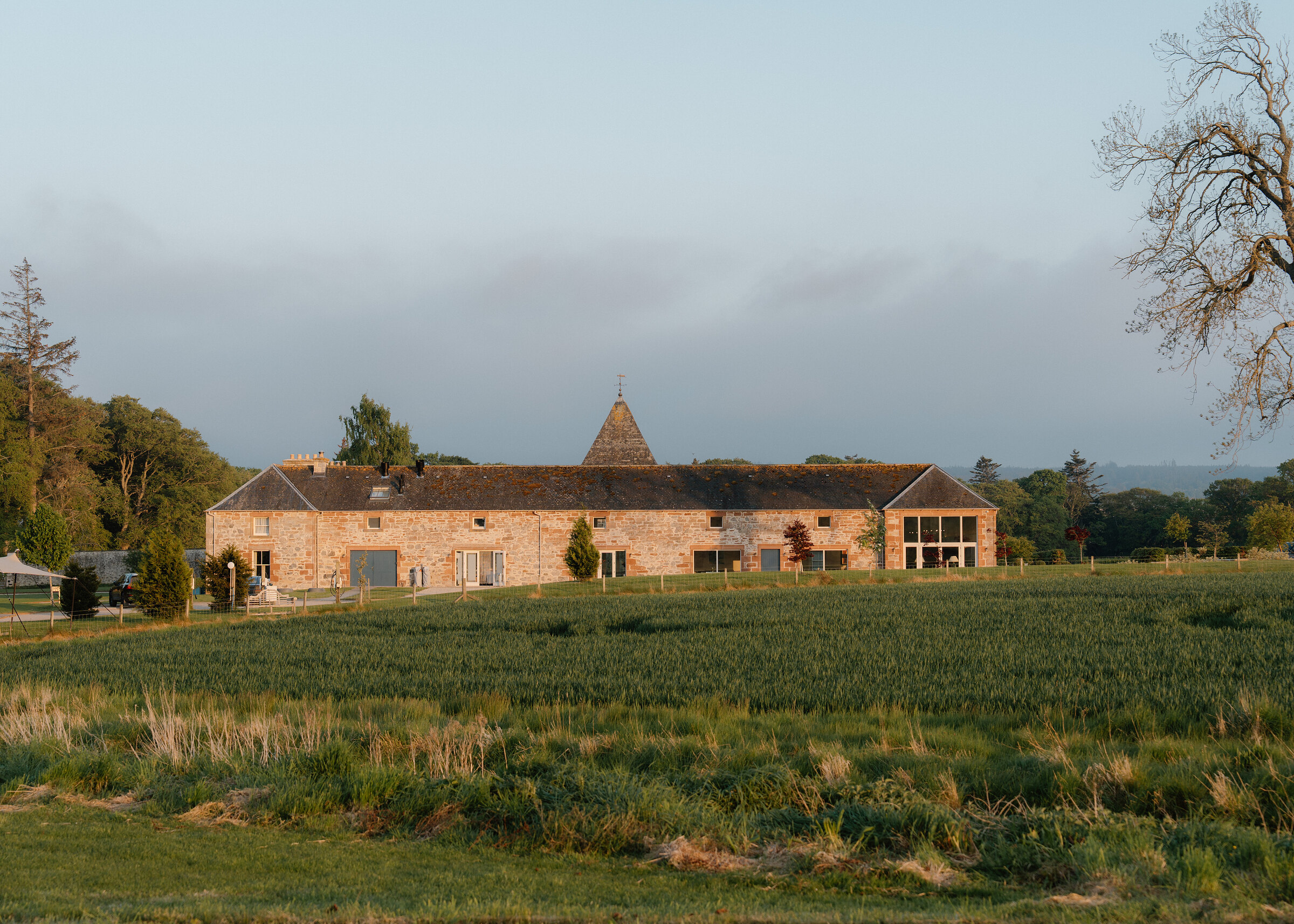
More walks near here
Within a short drive of the start.
Did this walk?
Tell the next person how it went. The best go on this page, with your name.
Find out more
For further reading, before you go.
Maps from OpenFreeMap © OpenMapTiles, data © OpenStreetMap contributors; heights from Mapzen's terrain tiles.