
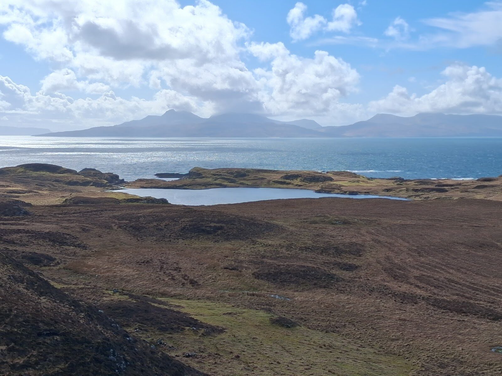
Rubh' an Dùnain – A Peninsula of Ruins below the Cuillin
About 8.1 miles on foot.
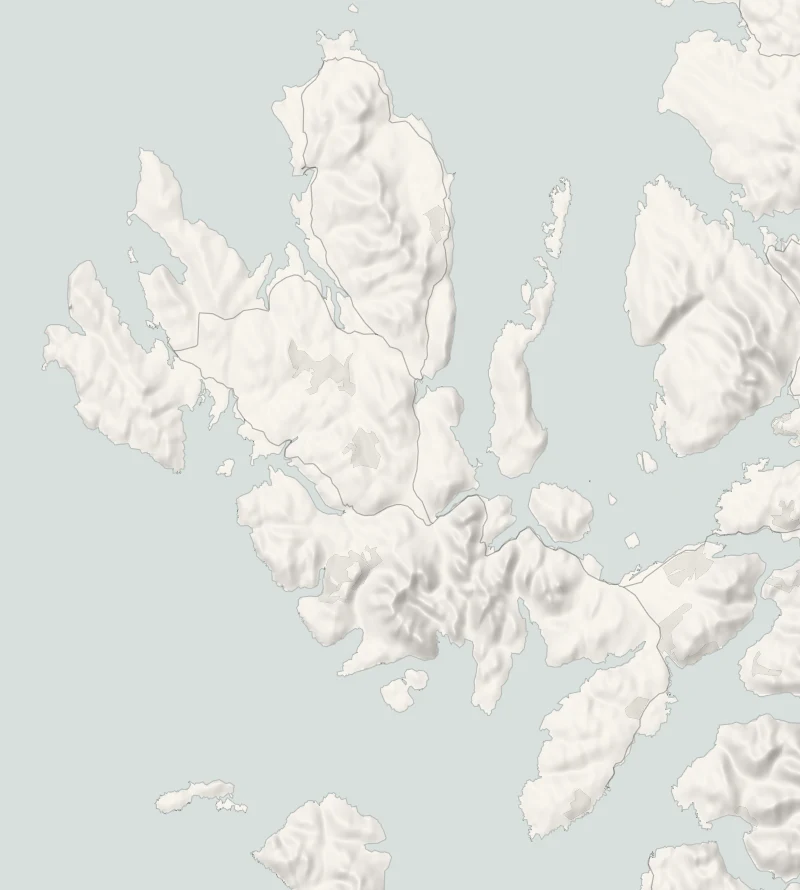
Rubh' an Dùnain is the low peninsula that runs out from Glen Brittle beach between Loch Brittle and the open sea, under the Cuillin.
Its people were cleared in the nineteenth century, and it holds a chambered cairn, an Iron Age fort, the ruined house of the MacAskill chiefs and a stone-lined canal that may be Viking. The walk round it is 13 km, never higher than 69 metres, and takes most of a day.
- Time
- Four to six hours: about 13 km round from Glen Brittle beach, never higher than 69 m. A long, low-level walk, easy to moderate, rough and boggy in places.
- The path
- A broad track at first, then rough paths, boggy in places, with burns to cross.
- Where to start
- By the beach at the end of the Glen Brittle road, on the right before the cattle grid at the campsite.
- When to go
- All year in daylight, on a clear day. From November to January be walking by 9.30am.
- Dogs
- Under control at all times: a working farm.
- Children
- A long day for children, with burns to ford and sea cliffs.
- Toilets
- None on the walk.
- Before you set out
- Unlikely to be any phone signal. The burn from Coire Lagan can be too full to ford after heavy rain; a wooden bridge crosses it a little way downstream. The shoreline at the tip is dangerous: keep well above it.
The walk
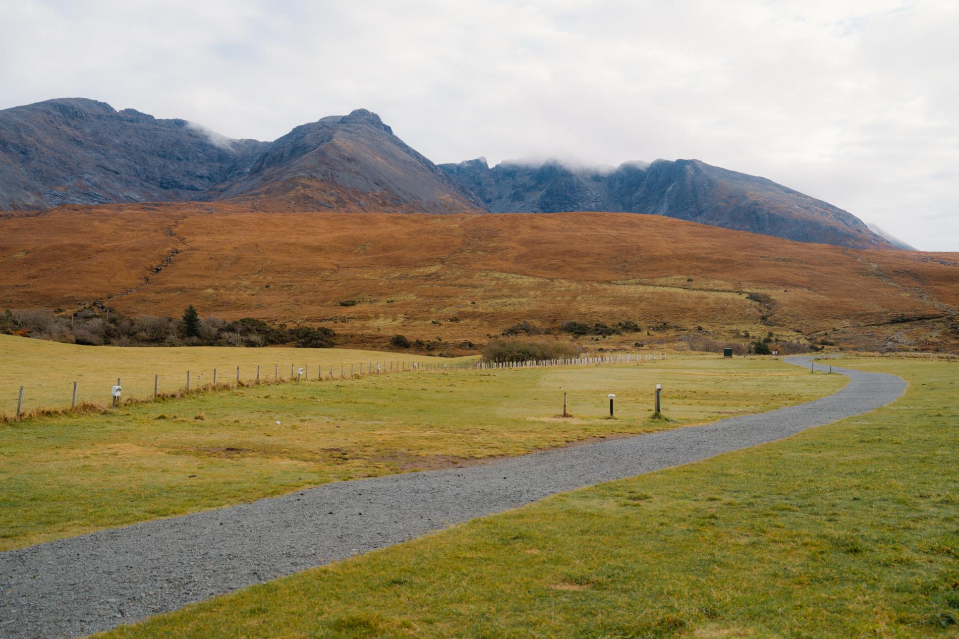
Park by the beach at the end of the Glen Brittle road, on the right before the cattle grid at the campsite. The MacAskills of Rubh' an Dùnain Society, whose family land this was, gives the walk as a low-level round of about 13 km, easy to moderate, never higher than 69 metres, and says to allow four to six hours. The ground is rough and boggy in places, so wear boots. The way out runs down the east shore of Loch Brittle, with the Cuillin above and Canna on the horizon. The burn, or stream, that comes down from Coire Lagan can be too full to ford after heavy rain, and there's a wooden bridge a little way downstream.
Out on the headland stand the ruins of the house of the MacAskill chiefs, abandoned in the middle of the nineteenth century, with the walls of the township that farmed here around it. Loch na h-Airde, the small loch near the tip, is joined to the sea by a stone-lined channel. A boat timber dated to about 1100 was found in the loch in 2000, and the canal may be the work of Vikings, though nobody is sure. An Iron Age fort, the little fort of the peninsula's name, stands above the channel, and on the loch's north shore is a chambered cairn, first dug in 1932. The headland is a protected monument and a working farm.
Keep dogs under control at all times and take nothing away. There's unlikely to be a phone signal, and there's no café in the glen from mid-October to the end of March, so carry food and tell someone where you've gone. From November to January, be walking by 9.30am.
If it rains
The ground is boggy at the best of times and the burns rise quickly after rain: the one from Coire Lagan can only be crossed by its bridge when it's full. There's no shelter on the peninsula. Pick a clear, dry day.
Before you go
Book accommodation nearby
If you are staying over: here are ours nearest where the day starts and ends.
The nearest of ours is Glenbrittle Campsite.
For further reading, before you go.
Photograph by Duncan Farrant via Google