
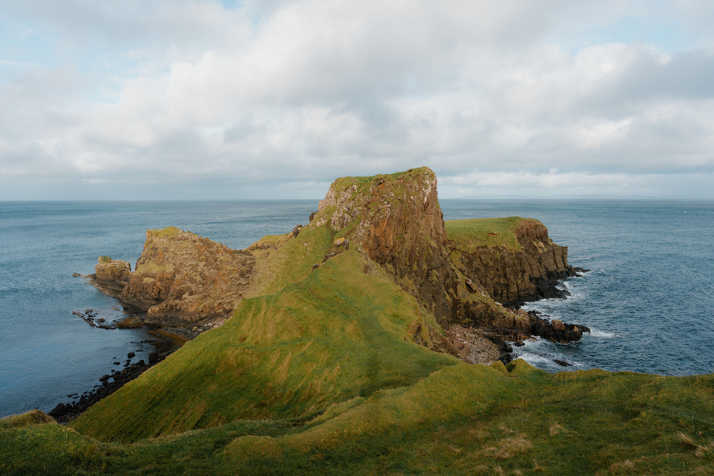
Brothers' Point – Down to the Shore at Rubha nam Bràithrean
About 1.2 miles on foot.
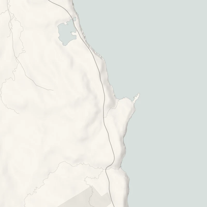
Rubha nam Bràithrean, Brothers' Point, is a narrow grassy headland on the east coast of Trotternish, with rock stacks at its end and the sea on both sides.
The Skye Ecomuseum, Staffin's own outdoor museum, signs a short path down to it from the road at Culnacnoc: 2 km and about an hour there and back, easy as far as the shore. At mid to low tide there are dinosaur footprints in the rock.
- Time
- About an hour there and back: 2 km (1.2 miles) by the Skye Ecomuseum's figures, easy as far as the shore.
- The path
- A signed track down to a rocky shore, with the climb back at the end. Beyond the burn there is no clear path over rough ground.
- Where to start
- A small car park at Culnacnoc, on the A855 just north of the turning for Grealin. Room is short and it fills on busy days. If it's full, start from the Lealt viewing platform instead.
- Set off
- At mid to low tide for the dinosaur footprints: look up the tide times for Staffin.
- When to go
- All year in daylight. Go at mid to low tide for the dinosaur footprints, on a dry, still day.
- Dogs
- On a lead: this is crofting ground with sheep, and lambs in spring.
- Children
- The path to the shore is easy and the footprints are worth the walk. Keep children off the headland beyond, which has steep drops.
- Toilets
- None at Culnacnoc. The nearest are in Staffin, a few minutes' drive north.
- Before you set out
- The footprints show only at mid to low tide. Beyond the shore there is no clear path and the headland has steep drops.
The walk
The walk starts from a small car park at Culnacnoc, on the A855 just north of the turning for Grealin. There isn't much room and it fills on busy days, so park with thought for others. If it's full, the Skye Ecomuseum suggests the Lealt viewing platform instead, from where a path reaches the point by the crofting township of Grealin. From Culnacnoc the way is across the road and down a signed track to the shore, and the ecomuseum's board at the top of the path sets out the route. It gives the walk as 2 km and an hour there and back, and calls it easy for as long as you keep to the path. Beyond the burn at the foot of the path there's no clear line over the rough ground, and the way out along the headland is above steep drops.
Treat the shore as the end of the walk unless you're sure-footed and the day is dry and still. From there the point is seen whole: a grassy saddle running out to a knoll of dark rock, with a stack standing off it. At mid to low tide the rock pools uncover, and so do the dinosaur footprints, which a group of palaeontology students found in 2016. The prints are 170 million years old, from a time when Skye was warm and tropical and the animals were crossing a shallow lagoon, and the largest are as big as car tyres. They are protected by law, so look and don't touch. Look up the tide times for Staffin before setting out.
This is crofting ground, and there has been trouble over livestock here in recent years. Stay on the path or the shore, and keep dogs on a lead. Lambs are in the fields in spring. There are no toilets at Culnacnoc. The nearest are in Staffin, a few minutes' drive north.
If it rains
Wet rock and weed on the shore are slippery, and the headland is no place to be in wind. Keep this for a dry, still day with the tide low.
Before you go
Book accommodation nearby
If you are staying over: here are ours nearest where the day starts and ends.
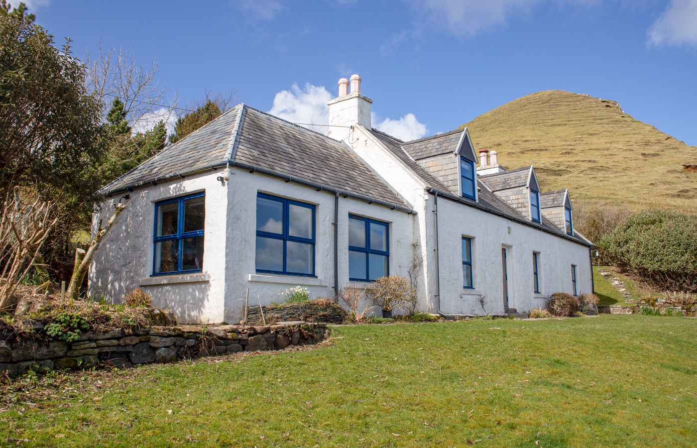
The nearest of ours is Half of One. Sleeps 8; next free Mon 19 Oct to Wed 21 Oct.
For further reading, before you go.