
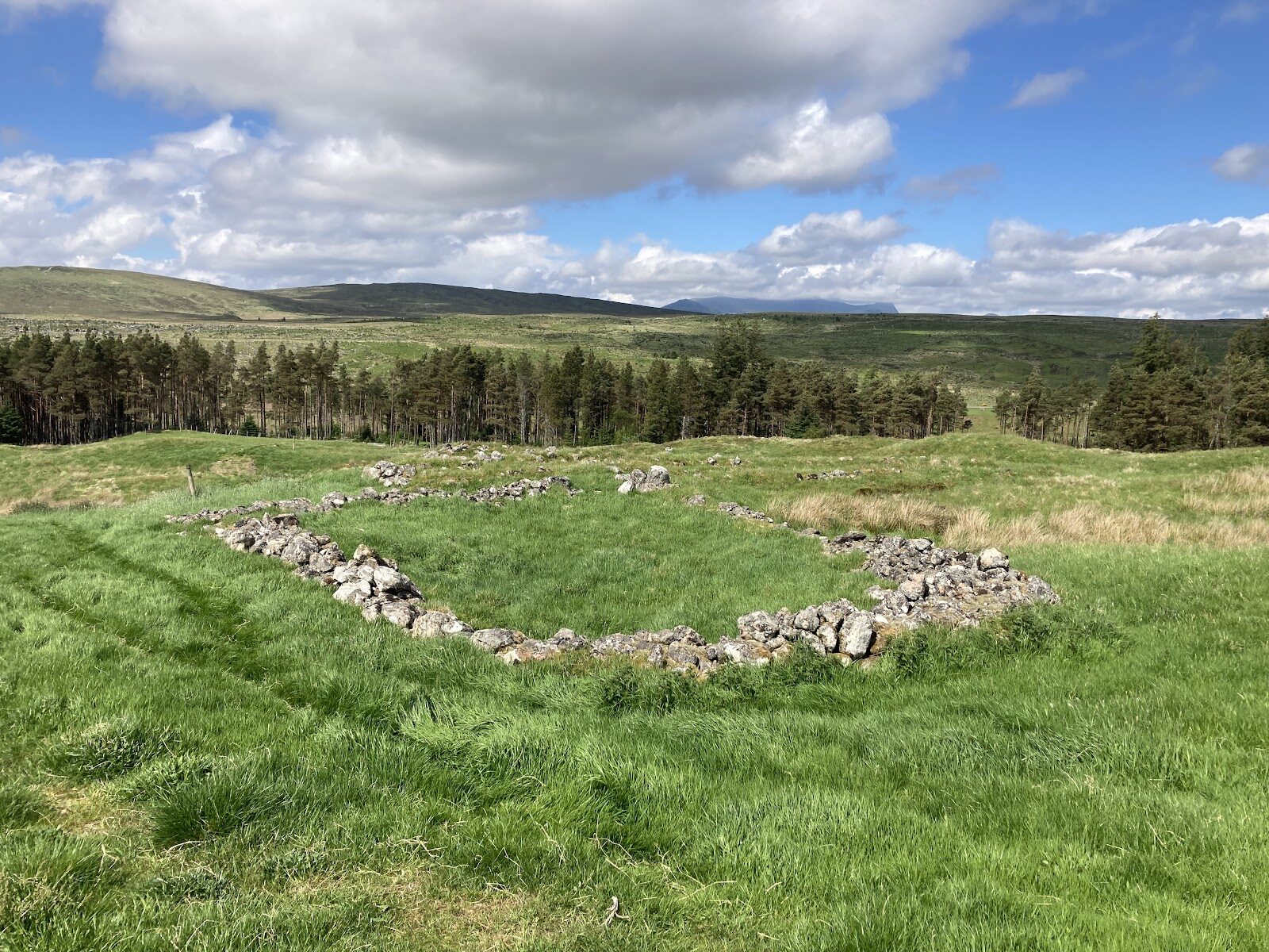
Rosal – The Footings of a Township Emptied in 1814
About 2.5 miles on foot.
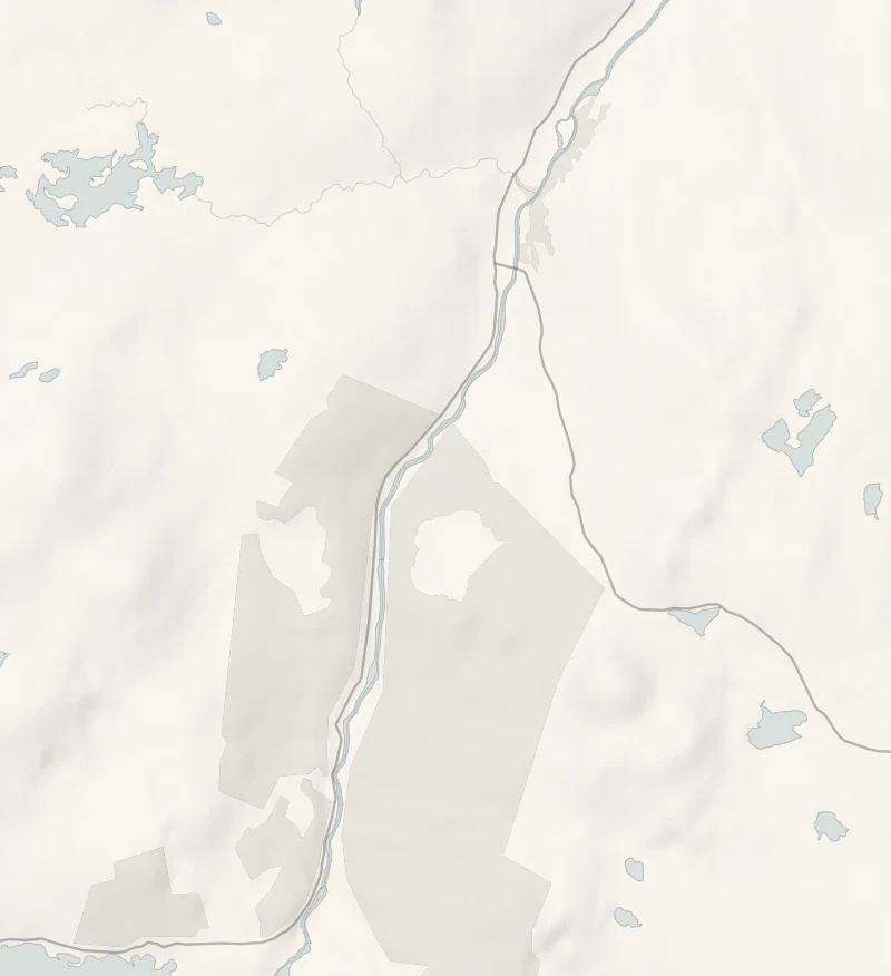
On a green hillside above the River Naver lie the footings of Rosal, a township of more than seventy buildings whose people were put out in 1814 to make way for sheep.
A walk of two and a half miles goes up to it through the forest and round what is left. It's a quiet, serious place, and since February 2026 it has belonged to the community.
- Time
- About an hour and a half: 4 km, or two and a half miles, with about 80 metres of climbing.
- The path
- A forest track, then faint grass paths over pasture.
- Where to start
- The Rosal forest car park, about three quarters of a mile along the forest road that leaves the Kinbrace road just east of the bridge at Syre. Free, on an unsurfaced track.
- When to go
- All year in daylight; from November to January set off by 1pm. The forest road to the car park is unsurfaced.
- Dogs
- On a lead: livestock graze round the township.
- Children
- An easy walk. The boards tell of families put out of their homes, so it is worth a word with younger children first.
- Toilets
- None here: the nearest are in Bettyhill.
- Before you set out
- A scheduled ancient monument: leave every stone where it lies. Livestock graze round the township. Marker posts are faded and the grass paths faint.
The walk
Rosal is in Strathnaver, near Syre, where the B871 from Bettyhill turns east for Kinbrace. Just over the bridge on the Kinbrace road, a forest road leaves on the right and runs beside the River Naver. The car park is about three quarters of a mile along it, on an unsurfaced track, and it's free. Venture North, the area's tourism body, gives the walk as 4 km, or two and a half miles, and Walkhighlands allows an hour and a half, with about 80 metres of climbing. It's a forest track up to open pasture, then grass among the ruins. Rosal was a township of more than seventy buildings on a green hillside above the river.
In 1814 its people were put out to make way for sheep. It is one of the best known of the cleared townships because Donald MacLeod, who was evicted from it, wrote about what he saw in letters to an Edinburgh newspaper in 1840. They were later published as Gloomy Memories. What is left are the low stone footings of houses, barns and yards, a small cairn with a plaque, and a few boards that explain them. It is a quiet place and a sad one, and it's worth giving it time. The North Sutherland Community Forest Trust took the site into community ownership in February 2026, and plans better paths and signs.
For now the marker posts are faded and the grass paths faint, so wear boots. Livestock graze round the township, so keep dogs on a lead. There are no toilets, and nowhere to eat nearer than Bettyhill on the coast, so bring what you need. From November to January, set off by 1pm.
If it rains
The hillside is open, the grass is wet underfoot long after rain and there's no shelter beyond the trees on the track. It's a walk for a dry day with clear air.
Before you go
Book accommodation nearby
If you are staying over: here are ours nearest where the day starts and ends.
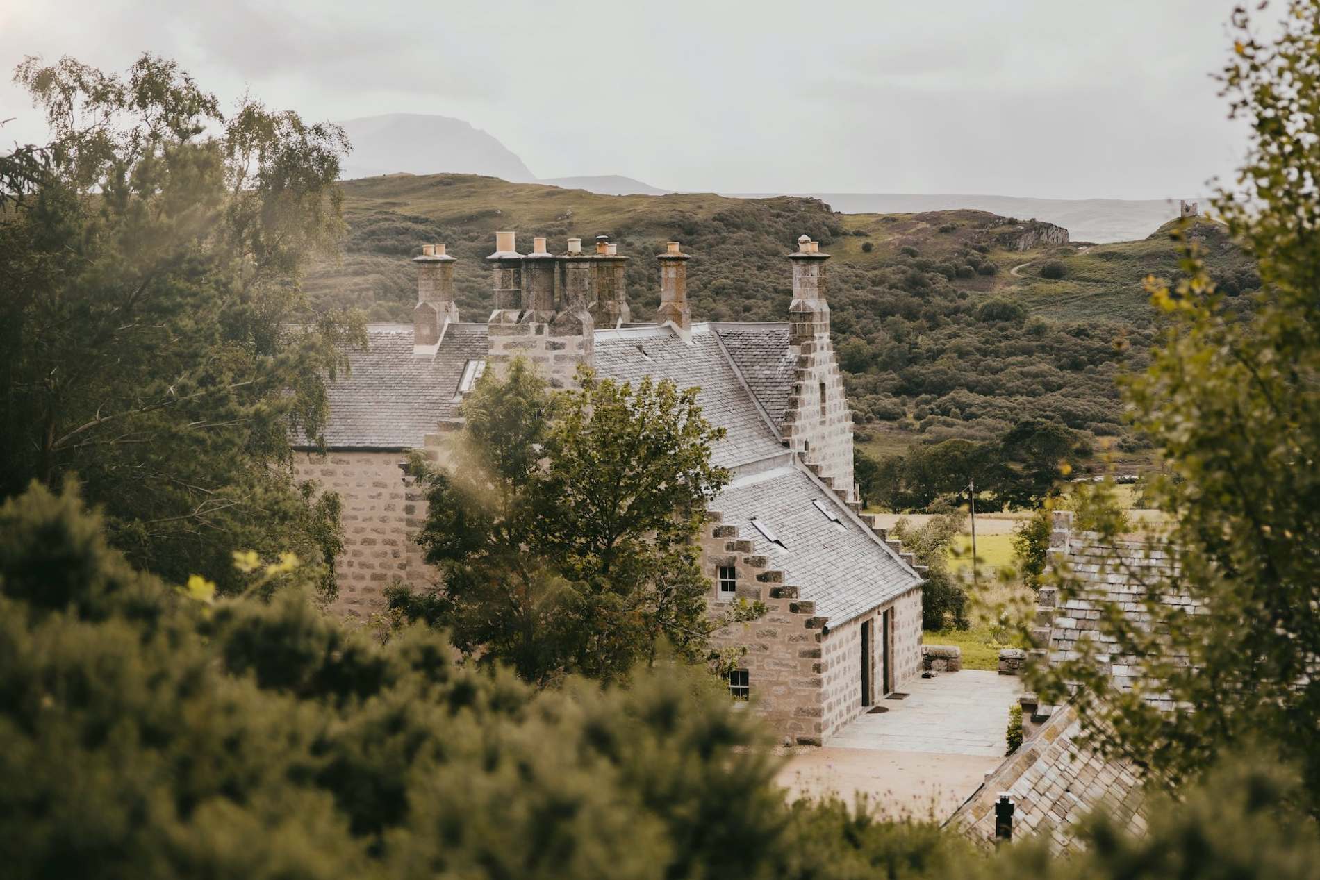
The nearest of ours is Lundies House, 11 miles away.
For further reading, before you go.
Photograph by Luka J via Google