
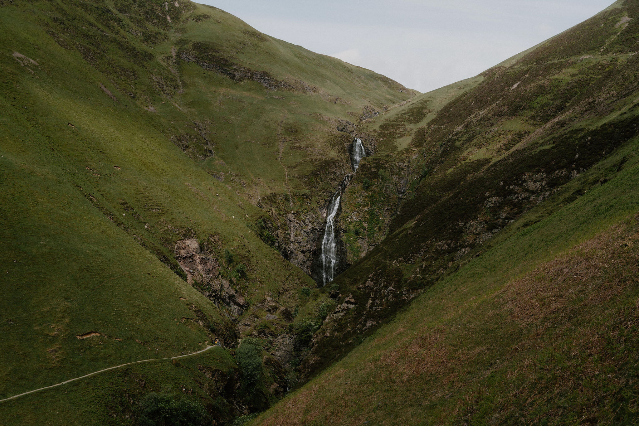
The Grey Mare's Tail – A Waterfall and a High Loch
2½ miles · 2 hours · there and back
dogs welcome
The Grey Mare's Tail is one of the great sights of the Southern Uplands, a white ribbon of water that drops about 60 metres out of a hanging valley beside the road from Moffat to Selkirk.
You can see it from the car park, but the walk is the thing: a steep path climbs beside the falls to Loch Skeen, a lonely loch high in the hills. It's short and stiff.
Where it starts
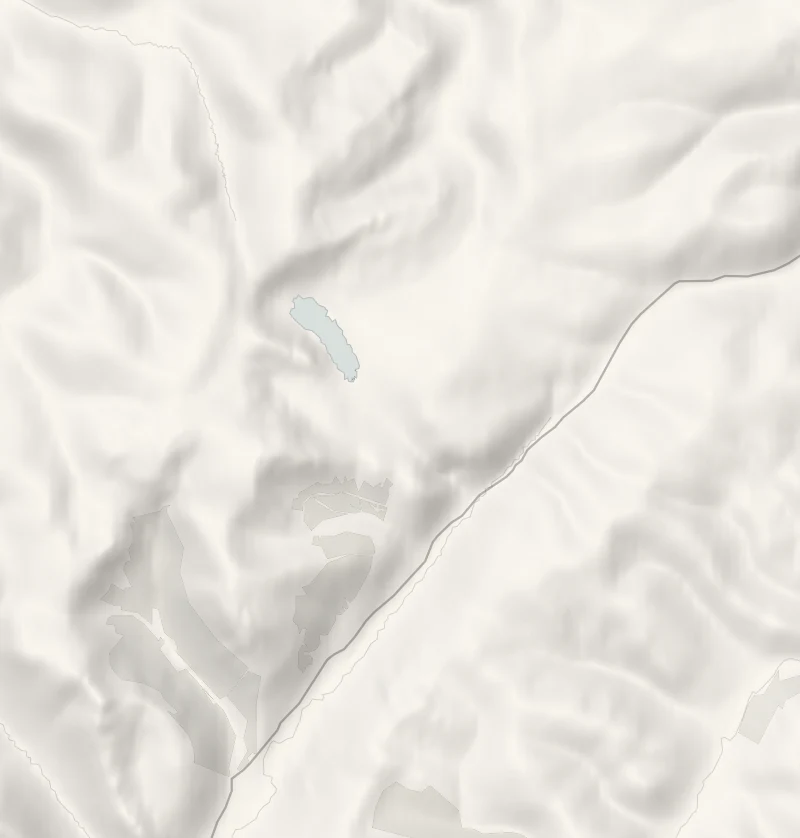
Start at the Grey Mare's Tail car parks on the A708, either side of the bridge over the Tail Burn, ten miles from Moffat.
Is it for me?
Tap who is coming, or the day you have, for the answer on this walk.
Before you go
Getting there
Pay at the ticket machines.
On the path
About two hours: 4 km, or 2.5 miles, there and back on a steep path, with a climb of 278 m. A steep stone-pitched path with drain crossings and wet patches. Boots. Steep, with a long drop beside the path: for older children, kept close.
Good to know
All year in daylight. In winter the upper path can hold snow and ice. From November to January, set off by 12.30pm. Dogs under close control: sheep and wild goats graze the slopes. Steep, uneven and wet in places, with a long drop beside the lower path. Snow and ice lie on the upper path from November.
The walk
The walk to Loch Skeen is 4 km, or two and a half miles, there and back from the car park beside the A708, on a stone-pitched path up the side of the falls. The council allows an hour and a half, and as it's strenuous, give it two hours.
The waterfall is in sight from here, dropping about 60 metres out of a side valley that a glacier cut short when it scoured out Moffat Dale. The council's walk leaflet calls it the fifth highest waterfall in the UK. A short path along the burn leads to a seating area with a full view of the falls. The walk to Loch Skeen climbs the valley side on a stone-pitched path, steeply at first with a long drop beside it. Higher up it eases off through grassy hummocks left by the ice, until the loch opens out in front of you. Loch Skeen lies at about 510 metres with craggy slopes round it, and it holds vendace, Britain's rarest freshwater fish, which were brought here from the Lake District. Wild goats live on these hillsides, and peregrines nest on the reserve. The path is uneven and wet in places and wants boots. Keep children close on the steep section, and keep dogs under close control, as sheep and goats graze the slopes. The land is a nature reserve of the National Trust for Scotland. In winter the upper path can hold snow and ice, and then it is only for walkers equipped for winter hills. The view from the foot of the falls is a fine one in any season. Walk it in daylight.
If it rains
The falls are at their fullest after rain, and the view from the foot of them is only a few minutes from the car. The climb to the loch is slippery when wet and has no shelter, so in heavy rain or low cloud stay at the bottom.
After the walk
Something to do with the rest of the day, nearest the end of the walk first.
With the rest of the day
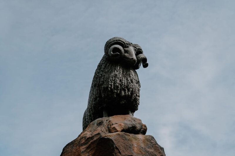 14 min by roadThings to doThe Moffat RamA bronze ram on a fountain in Moffat's wide High Street, given in 1875 to mark the town's long history of sheep farming and wool.
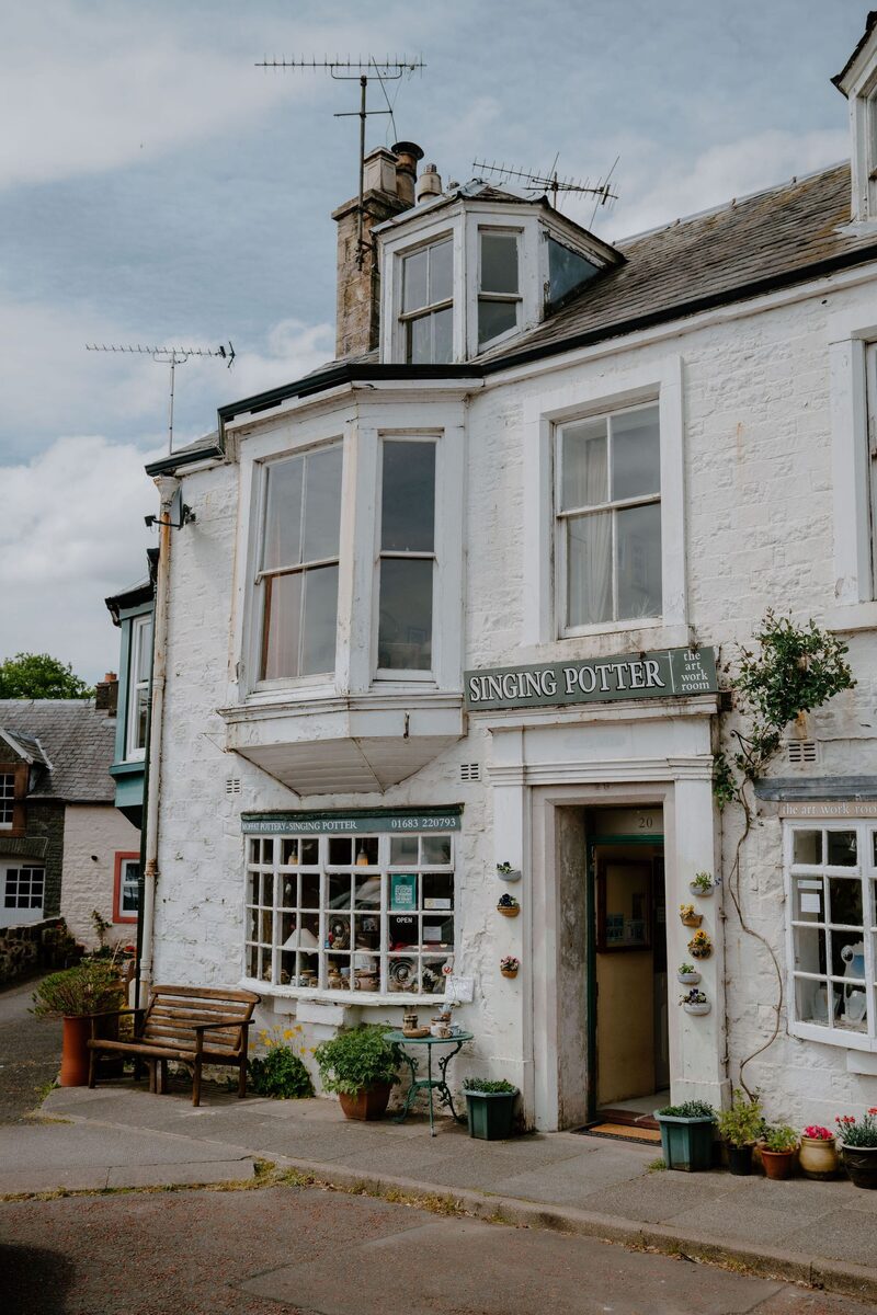 14 min by roadThings to doThe Singing Potter of MoffatGerard Lyons is the singing potter of Moffat, a former opera singer who now sings religious pieces.
Places to stay near the walk
Our places to stay nearest the start, by road.
An advert · Yarrow
The Scullery
A one-bedroom hideaway for two adults in the old stone scullery of a Victorian farmhouse in the Yarrow Valley, with a courtyard garden above a burn and its own small waterfall.
Sleeps 2 · 21 minutes by road
See The Scullery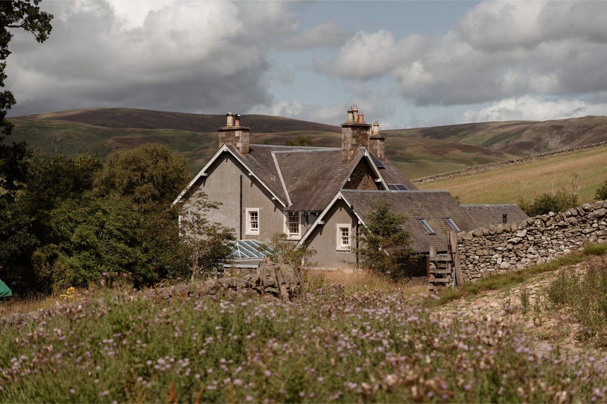
More walks near here
Within a short drive of the start.
Did this walk?
Tell the next person how it went. The best go on this page, with your name.
Find out more
For further reading, before you go.
- Grey Mare's Tail, National Trust for Scotlandnts.org.uk↗
- Core paths, Dumfries and Galloway Councildumfriesandgalloway.gov.uk↗
- Grey Mare's Tail, the council's walk leaflet (archived copy)web.archive.org↗
- The route in detail, Walkhighlandswalkhighlands.co.uk↗
- Walkers' recordings and reviews, AllTrailsalltrails.com↗
Maps from OpenFreeMap © OpenMapTiles, data © OpenStreetMap contributors; heights from Mapzen's terrain tiles.