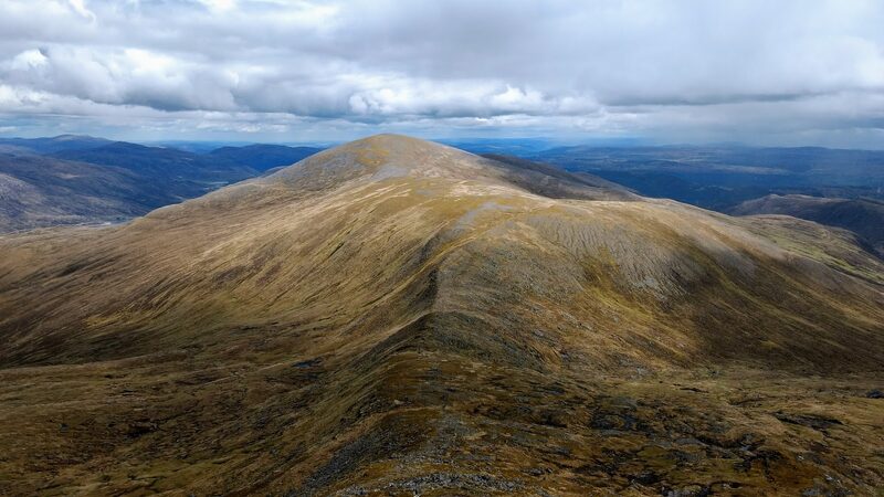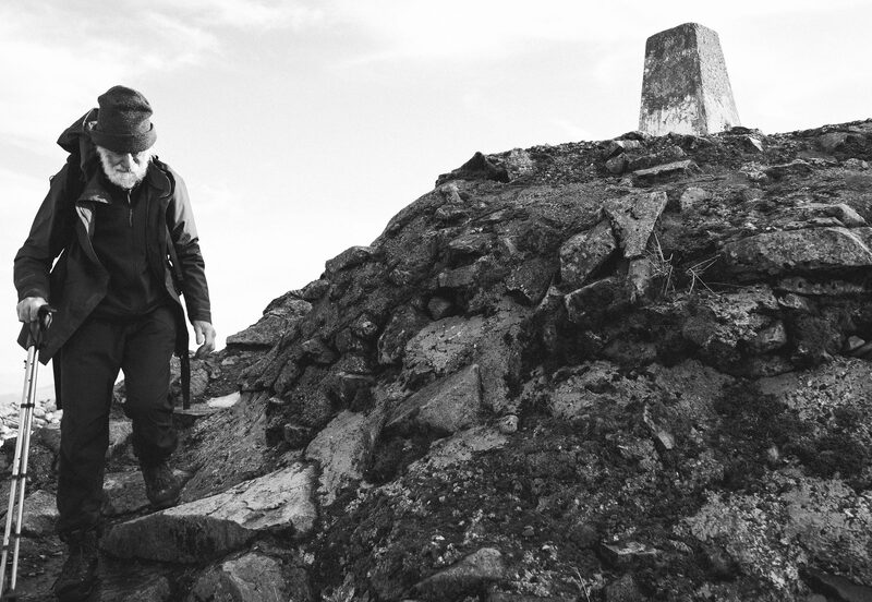
The broad rounded dome of Toll Creagach seen along the ridge, with low country beyond under heavy cloud.
Glen Affric and Strathfarrar

Toll Creagach

A Munro of 1,054 metres, number 76 of the 282.

The hill

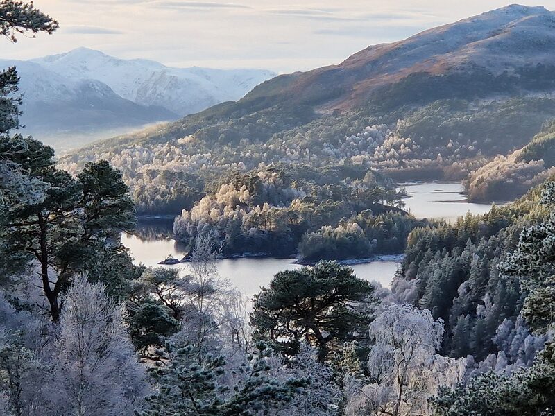
Toll Creagach stands north of Loch Affric, in the hills above Glen Affric.

Its nearest neighbour is Tom a' Choinnich, about three kilometres to the west, and Carn Eighe is further off the same way, about seven kilometres from the summit.

Glen Affric itself is one of the loveliest glens in Scotland, with ancient Caledonian pinewood, lochs and rivers below the high mountains, and the whole glen is protected as a National Nature Reserve.

The road end
Forestry and Land Scotland's River Affric car park, at the end of the public road, is its starting point for longer routes into the mountains.
On the hill
There is no mobile signal, so it is hard to call for help if you get into difficulties. Forestry and Land Scotland says you need to be fit, confident at map-reading and navigation, and well equipped with clothing and food.
Burns
On the north side of Loch Affric, Forestry and Land Scotland's circuit crosses burns with no bridges, and they can be tricky after heavy rain. You may need to go some way up or down a burn to find a safe place to cross.
The ground
Forestry and Land Scotland's plan for 2020 to 2030 says most of the neighbouring estates are managed for stalking, and that none of its plans would restrict access to the mountains for walkers and climbers. Read Mountaineering Scotland's page on stalking before you go and follow any signs.
Under snow
There is no avalanche forecast for this hill, but that does not mean there is no risk under snow. The Scottish Avalanche Information Service's full winter forecasts for its six areas begin on 17 December 2026.
Car parks
Forestry and Land Scotland runs three car parks on the glen road from Cannich: Dog Falls, Loch Beinn a' Mheadhain at about 8 miles, and River Affric at about 10 miles, where the public road ends. In 2026 parking cost £2 for up to 1 hour, £3 for up to 3 hours and £5 for the day, on one ticket for all its Glen Affric sites; Blue Badge holders park free. You may park overnight at all three for the hills, paying for each day, but not camp or sleep in your vehicle.
The road and the bus
Much of the glen road is single track with passing places. Buses run from Inverness to Tomich and Cannich all year, and Traveline Scotland has the times.
Toilets and food
The toilets at Dog Falls are open all year, those at River Affric from 1 April to 31 October. There are no cafés or shops in the glen: eat in Cannich or Tomich, and there is a shop in Cannich.
On the hill today
0° to 3°Drizzle on the summit, 1,054 m. Feels like −5° in the wind.

West wind to 14 mph, gusting 26
Rain, about 5 mm
Light from 7.55am to 6.15pm, ten hours

Sat 17Mostly clear0° to 3° on top · 8 mph, gusts 15
Sun 18Some cloud−2° to 4° on top · 9 mph, gusts 18
Mon 19Cloudy−3° to 6° on top · 5 mph, gusts 7

A weather model's forecast for the height of the summit, not a report from the hill. Read the mountain forecast the evening before: Northwest Highlands forecast, Toll Creagach, Northwest Highlands mountain forecast, Deer stalking and hill access.

October2026

MTWTFSS

Going another day?

Choose the day you mean to climb.Near or far: the light you will have, and what the summit is likely to be doing.

Photographs by gregory666, David Bingham and Paul Lloyd, via Google
Remember, there are no signposts once you leave the waymarked trails at the car parks.Forestry and Land Scotland, which runs the car parks in Glen Affric
Before you go

Carry

  • A paper map and a compass, and the skill to use them
  • Waterproofs, warm layers, hat and gloves
  • Food and drink
  • A head torch, a whistle and a first aid kit
  • A survival bag
  • Boots with a good grip

Under snow and ice this is a different day, with short light and the risk of avalanche. It needs an ice axe, crampons, winter boots and the skill to use them.

If something goes wrong

  • Dial 999, ask for the police, then mountain rescue
  • Give a six-figure grid reference: the summit is NH 194 282
  • Say how many are hurt, how many are with you, and your number
  • Register to text 999 before the day: text the word register to 999

The summit is optional. Turning back is the right decision whenever the cloud, the wind or the light say so.

How to call for help in the hills · Safety and skills for the hills · ThinkWINTER

From our readers

Nobody has written from Toll Creagach yet. If you were up, yours would be the first.

Tell the next person

Were you up? Three words is enough.A free account, a word for the weather and a line if you like.

Read more elsewhere

For the route itself, take the map and read these.

Next along: Tom a' Choinnich, Carn nan Gobhar, Carn Eighe, Sgurr na Lapaich. Checked on 10 October 2026. The facts on this page are Forestry and Land Scotland's and Mountaineering Scotland's; the forecasts are the Mountain Weather Information Service's, the Met Office's and the Scottish Avalanche Information Service's. Height and position from The Database of British and Irish Hills, v18.3, adapted, CC BY 4.0. This page is not a route description and does not replace a map.