
The Solway Coast
The northern shore of the Solway Firth in Dumfries and Galloway, with three National Scenic Areas of estuaries, cliffs, sandy bays and hills.
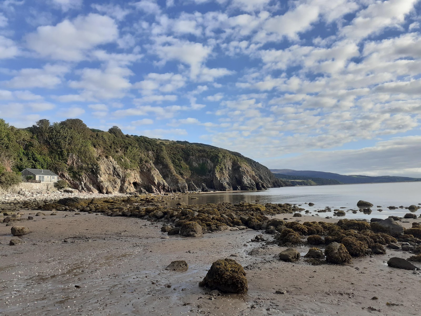
The northern shore of the Solway Firth runs along the southern edge of Dumfries and Galloway, a gentle, lovely coast of estuaries, sandy bays, rocky shores and wooded hills.
Three stretches of it are National Scenic Areas.
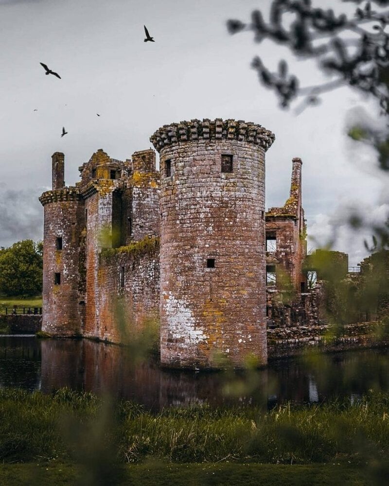
In the east, the Nith Estuary spreads into wide tidal flats and saltmarsh, with the dark bulk of Criffel rising steeply above and Caerlaverock Castle and Sweetheart Abbey among its landmarks. Further west, the East Stewartry Coast has sea cliffs, rocky shores and sheltered sandy bays held between hills, with small villages along the shore. Beyond, the Fleet Valley runs from sandy beaches up through Gatehouse of Fleet into open hills.
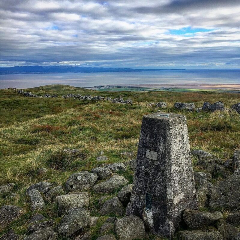

It is a coast for walking, beachcombing and quiet villages. The Solway tides come in quickly, so check them before you walk out on the sands.
Open at all times.
The Solway tides come in fast; check them before walking out.
- Where
- The south coast of Dumfries and Galloway.
- Scenic areas
- Three.
- Landmarks
- Criffel, Caerlaverock, Sweetheart Abbey.
Scotland, in print.
Every photograph commissioned, every word written by somebody who went. Printed twice a year, made in Scotland.
For further reading, before you go.