
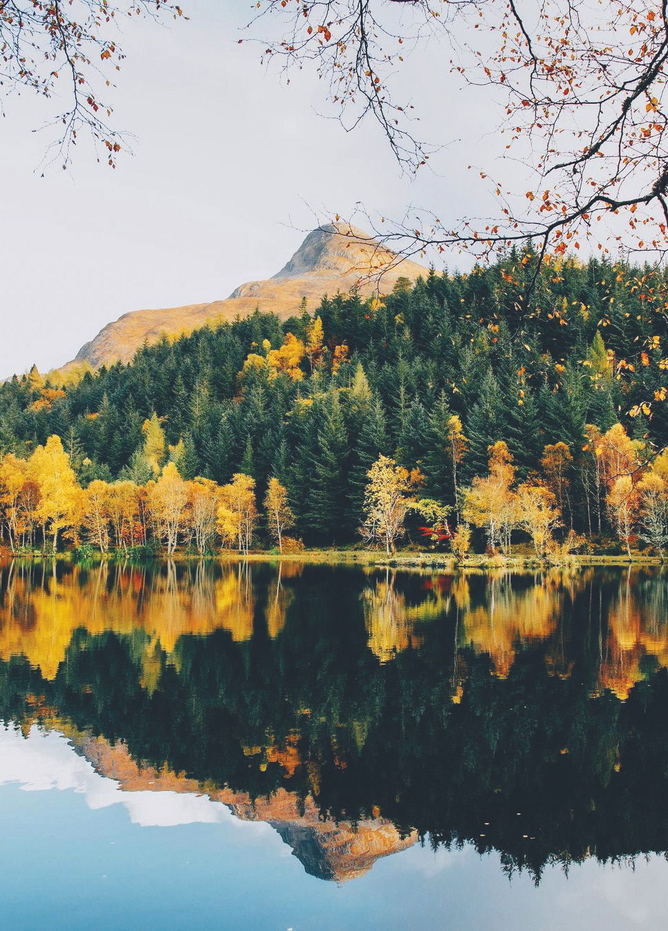
The Pap of Glencoe – A Steep Hill, a Scramble and Lunch
About 4.5 miles on foot.
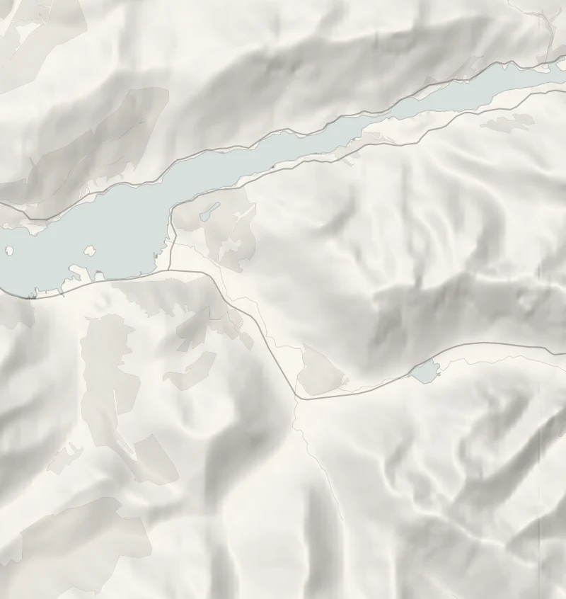
The Pap of Glencoe is the neat, pointed peak that stands over Glencoe village and Loch Leven, and it's a rewarding hill for a fit walker to climb in a day.
It isn't high, but it's steep and rough, with a short scramble to the top and a huge view over the loch and the mountains all round. Lunch is at the Clachaig Inn, a few minutes along the same road, with log fires and food all afternoon. It suits fit, experienced hillwalkers.
- Time
- Three and a half to five hours there and back: about 7 km with over 700 metres of ascent.
- The path
- A steep, boggy, badly eroded hill path, a muddy gully, and an easy scramble over rock for the last 100 metres.
- Where to start
- A small parking area beside the minor road east of the Bridge of Coe in Glencoe village, towards the Clachaig Inn: no charge is posted online, so read any signs.
- Set off
- From November to February start up by 10am, to be off the top by 1.30pm in good daylight.
- When to go
- A hill for dry, clear days with the daylight to spare; from November, snow and ice can make it a winter climb. The Clachaig Inn serves food every day from noon to 9pm.
- Dogs
- Only a dog used to steep, rough ground; the top is a scramble.
- Children
- Not for young children: steep, rough and a scramble at the top.
- Toilets
- Public toilets in Glencoe village; the Clachaig Inn's for customers.
- Before you set out
- With snow or ice on the top it is a winter climb, needing an ice axe, crampons and the skill to use them.
The walk
The path starts in Glencoe village, from a small parking area on the minor road east towards the Clachaig Inn. Check the signs there for any parking charge. The climb is about 7 km there and back, with over 700 metres of ascent, and takes three and a half to five hours.
The path is steep, boggy and badly eroded, and the gully below the col between the Pap and the ridge is often very muddy. The last 100 metres to the top is an easy scramble over rock, where you'll need your hands. From the top the whole of Loch Leven lies below you, with the mountains all round.
Take boots, waterproofs, food, a map and a compass, and turn back if the cloud comes down or the rock is wet and you're unsure. In an emergency, call 999 and ask for the police, then mountain rescue.
If it rains
In rain or low cloud the top is slippery and the view is gone: leave the hill and walk the flat Lochan Trail round Glencoe Lochan instead, a few minutes away, then have lunch at the Clachaig as planned.
Afterwards
5 min by car
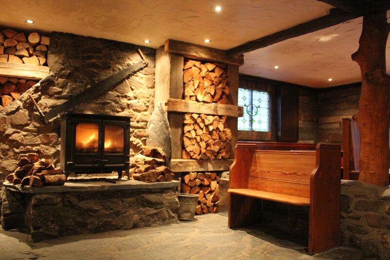
Clachaig Inn
Lunch
Then it's 5 minutes' drive on along the same road to the Clachaig Inn, an old inn popular with walkers and climbers, with log fires in its three bars. Food is served every day from noon to 9pm. Dogs are welcome in all three bars, and under-18s eat in the Lounge Bar with an adult. Its car park is for customers.
Before you go
Book accommodation nearby
If you are staying over: here are ours nearest where the day starts and ends.
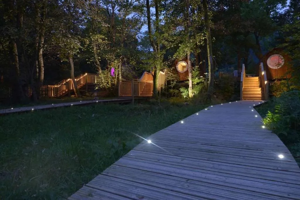
The nearest of ours is Woodlands Glencoe, 5 miles away. Sleeps 2.
Where to eat
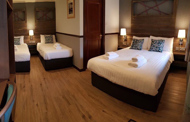
Clachaig Inn, walkers' pub in the glen.
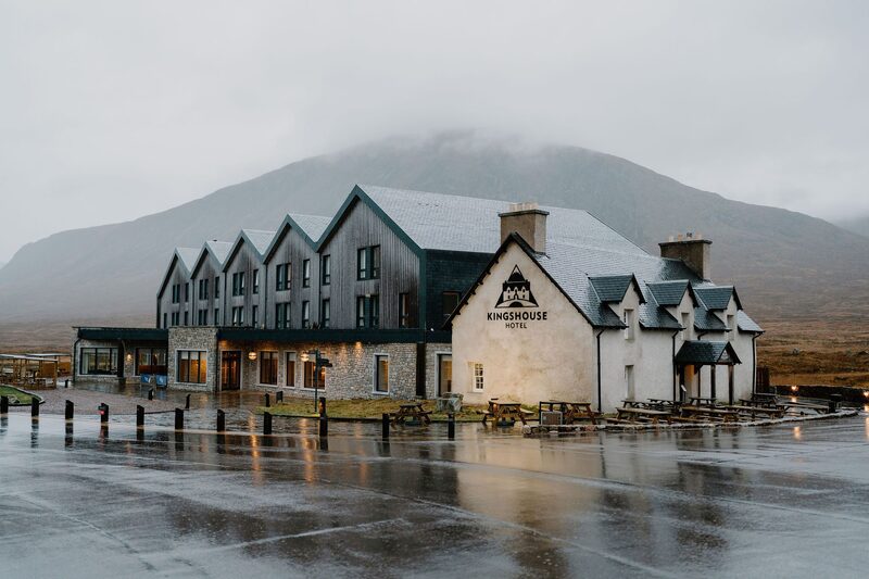
Kingshouse Hotel, historic inn on Rannoch Moor.
Photograph by Clachaig Inn via Google