
The Butt of Lewis – Lighthouse, Cliffs and Eoropie Beach
3½ miles · 2½ hours
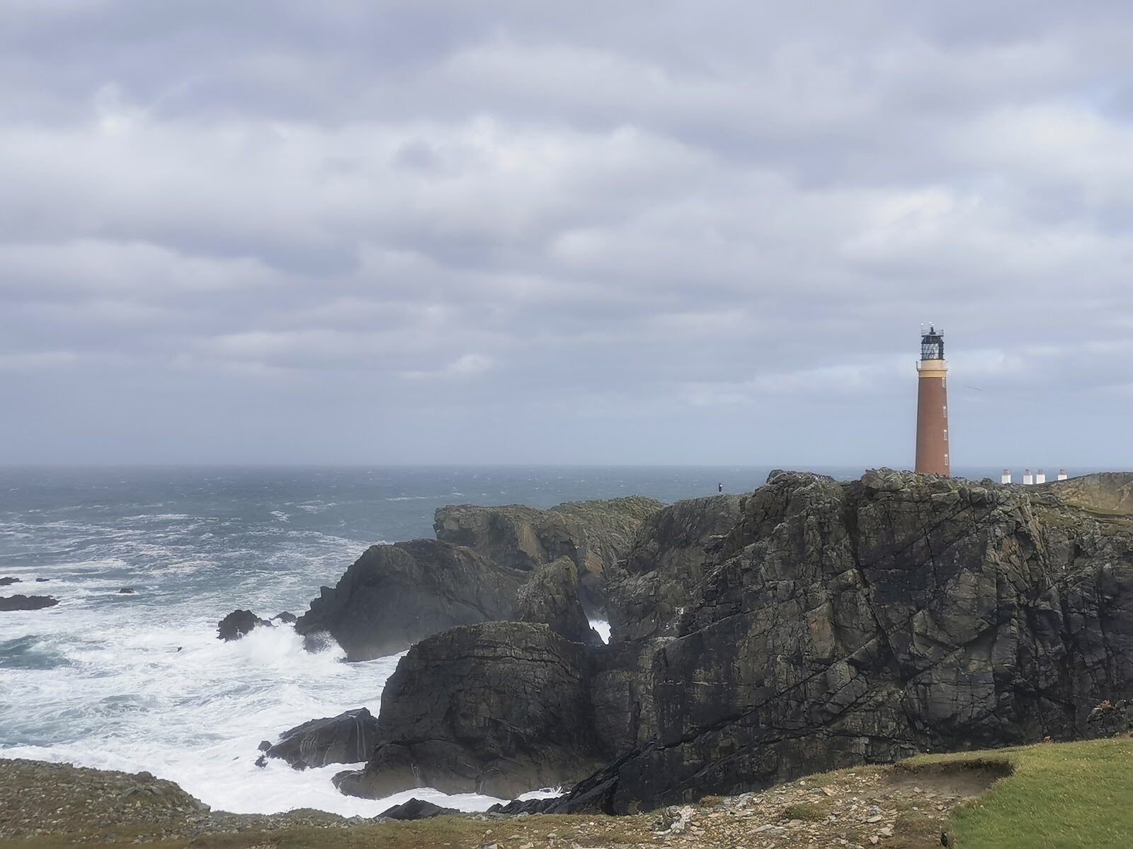
The Butt of Lewis is the northern tip of the island, a red-brick Stevenson lighthouse above wave-battered cliffs and sea stacks.
A circular walk follows the cliffs past seabird ledges to Eoropie beach, then back by a medieval church and the old Morrison stronghold of Dùn Èistean. It's a wild, airy walk for a calm day.
Where it starts
Parking spaces by the lighthouse; more room at the Eoropie Dunes play park, the circuit's official start.
Is it for me?
Tap who is coming, or the day you have, for the answer on this walk.
Before you go
On the path
About two and a half hours on foot. Rough, uneven and often muddy ground; gates and a footbridge. For children, unfenced cliffs prone to collapse: hold hands.
Good to know
All year, on a calm, dry day; the seabirds nest from April to August. In daylight, in dry and still weather. Seabirds nest from April to August; the lighthouse isn't open.
The walk
There are parking spaces by the Butt of Lewis lighthouse at the end of the road north through Eòropaidh, and more room at the Eoropie Dunes play park, where the waymarked circuit officially begins. The lighthouse was built by David and Thomas Stevenson in 1862 and isn't open. The circuit runs south-west along the cliff tops, well back from the edge, which is prone to collapse. Kittiwakes, fulmars and shags nest on the ledges from April to August, gannets dive offshore, and seals and porpoises are often in the water below.
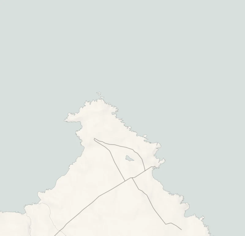
After about a kilometre you pass Luchruban, a flat-topped grassy stack, then follow the marker posts south to the sands of Tràigh Shanndaigh, Eoropie beach. A track leads up through Eòropaidh to St Moluag's church, from the 12th to 14th centuries. Then a waymarked track goes east to Dùn Èistean, reached over a steel footbridge. Head back north behind the crofts, past the little cove of Port Stoth, to the lighthouse.
The circuit is 3.5 miles over rough, often muddy ground with unfenced cliffs: leave it for a calm, dry day, and skip it if heights unsettle you. Don't count on a toilet on the way.
If it rains
Open, unfenced clifftop with no shelter. In rain or a strong wind leave it for a calmer day; the cliffs are no place in a gale.
Places to stay near the walk
The places to stay nearest the walk.
None of ours is within an hour by road. The nearest, as the crow flies, is Harris Hideaway in Cliasmol, 46 miles away.
Then Hill Cottage in Port na Con, 56 miles away.
Did this walk?
Tell the next person how it went. The best go on this page, with your name.
Find out more
For further reading, before you go.
Photograph by John Pritchard via Google
Maps from OpenFreeMap © OpenMapTiles, data © OpenStreetMap contributors; heights from Mapzen's terrain tiles.