
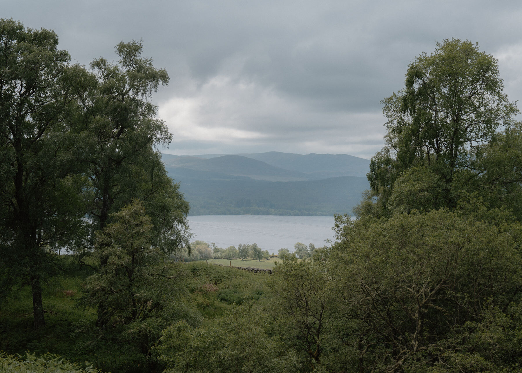
Annat – A Deserted Township and the Moor above Loch Rannoch
About 6.5 miles on foot.
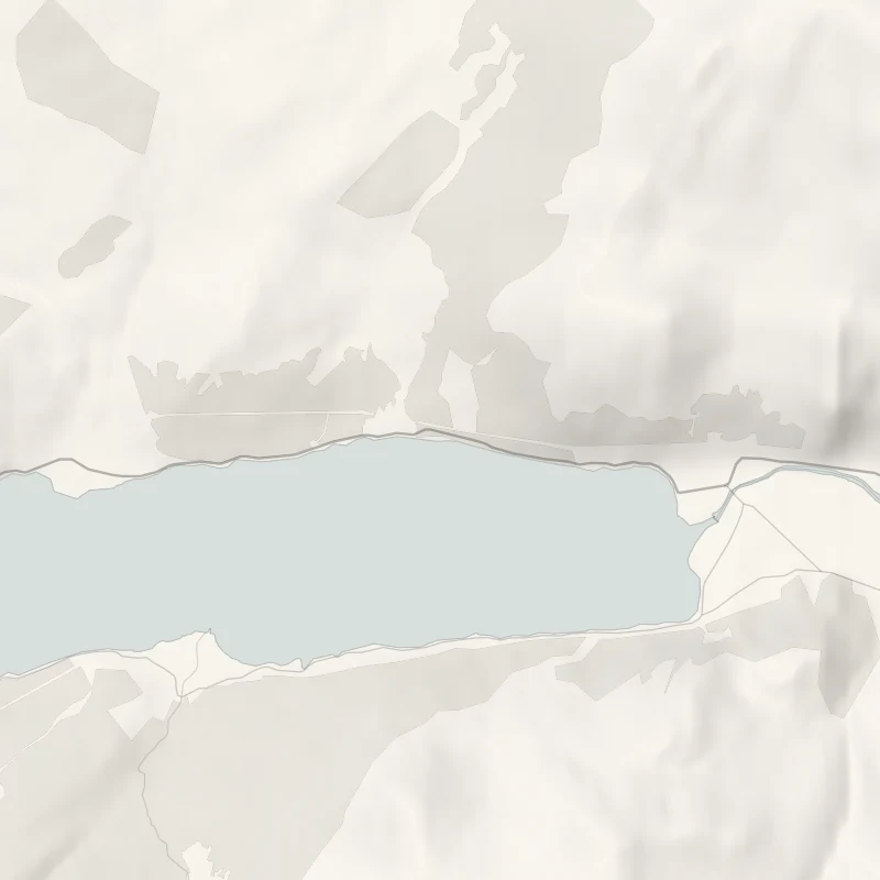
On the north side of Loch Rannoch, a mile and a half west of Kinloch Rannoch, an old track climbs from the lochside road onto open moor.
It passes the remains of a deserted township and comes back down through birch wood. The local tourist association calls it the Annat Loop: six and a half miles and about four hours, with Schiehallion to the east and Rannoch Moor away to the west.
- Time
- About four hours: 10.4 km (6.5 miles), a long steady climb and descent.
- The path
- A wide, stony hill track, uneven underfoot, muddy near the farm, with one burn to cross by a ford or stepping stones. Boots.
- Where to start
- The Annat road end on the B846, on the north shore of Loch Rannoch a mile and a half west of Kinloch Rannoch, or the lay-by at Clan Trail post number 1. Leave the farm entrance clear.
- When to go
- All year in daylight. From November to January set off by 10.30am. After heavy rain the burn may be too high to cross.
- Dogs
- On a lead the whole way: cattle and sheep are on the open hill.
- Children
- Six and a half miles with a long climb and a burn to cross: for older children used to hill walks.
- Toilets
- None on the walk. The Cornerstone in Kinloch Rannoch opens its toilets to anyone when it is open, Wednesday to Sunday.
- Before you set out
- One burn is crossed by a ford or stepping stones. A working farm estate, with cattle and sheep on the open hill. The last 3 km are on the public road.
The walk
Park at the Annat road end on the B846, on the north shore of Loch Rannoch a mile and a half west of Kinloch Rannoch, or in the lay-by at post number 1 of the Clan Trail. This is a working farm estate, so leave the entrance clear. The Rannoch and Tummel Tourist Association gives the loop as 10.4 km, or six and a half miles, and allows four hours. It's a long, steady climb and a long descent on a wide, stony track that's uneven underfoot, with one burn to cross by a ford or stepping stones. A Scottish Rights of Way Society sign at the start points to Dalnaspidal, because this is the first stretch of an old long-distance route north towards the Cairngorms. Up on the heath are the remains of Tor a' Chruidh, a deserted settlement also known as Annat Village.
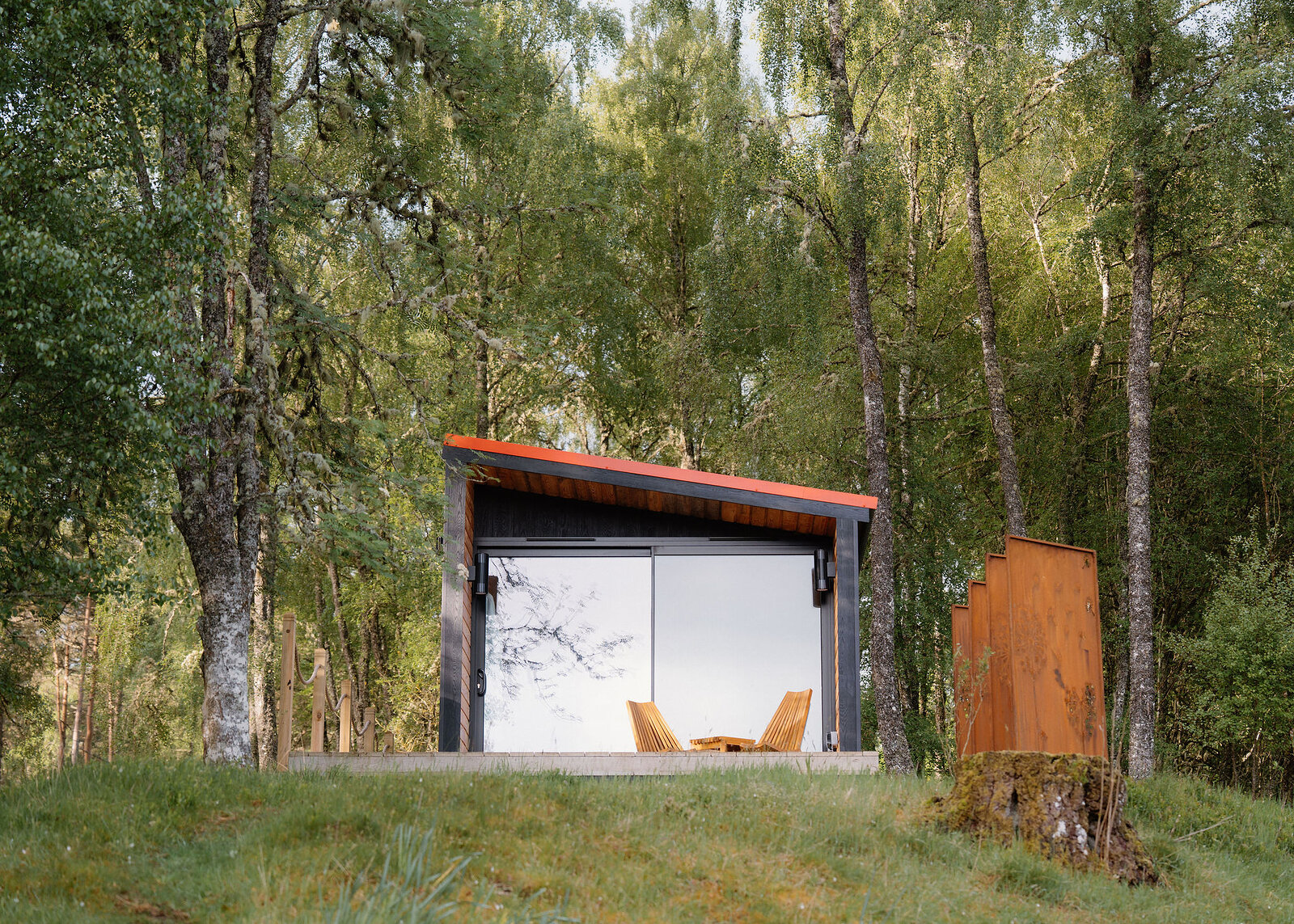
From the high ground the views run down to Loch Rannoch, across to the Black Wood of Rannoch on the far shore, east to Schiehallion and west to Rannoch Moor. The way back comes down through birch wood, where an art installation is set into the hillside. Treat it as something to see from the track. Craiganour Lodge is close by, and walkers are asked to respect its privacy and keep to the farm track down to the bridge at Aulich. The last three kilometres are along the public road beside the loch, so walk facing the traffic. Expect mud near the farm, and cattle and sheep on the open hill: keep a dog on a lead the whole way.
After heavy rain the burn may be too high to cross, and then the sensible thing is to go back the way you came. There are no toilets on the walk. From November to January, set off by 10.30am. In Kinloch Rannoch, the Cornerstone opens from 11.30am, Wednesday to Sunday, and its toilets are open to anyone when it is.
If it rains
The moor is open to every wind and the burn rises after rain, so keep this for a dry spell. In cloud the views that make the climb worth it are gone.
Before you go
Book accommodation nearby
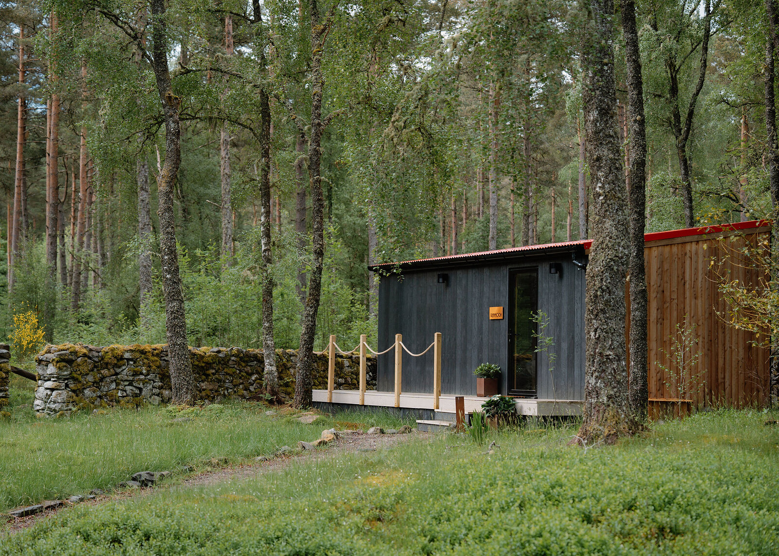
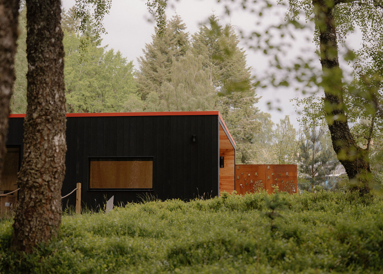
If you are staying over: here are ours nearest where the day starts and ends.
For further reading, before you go.