
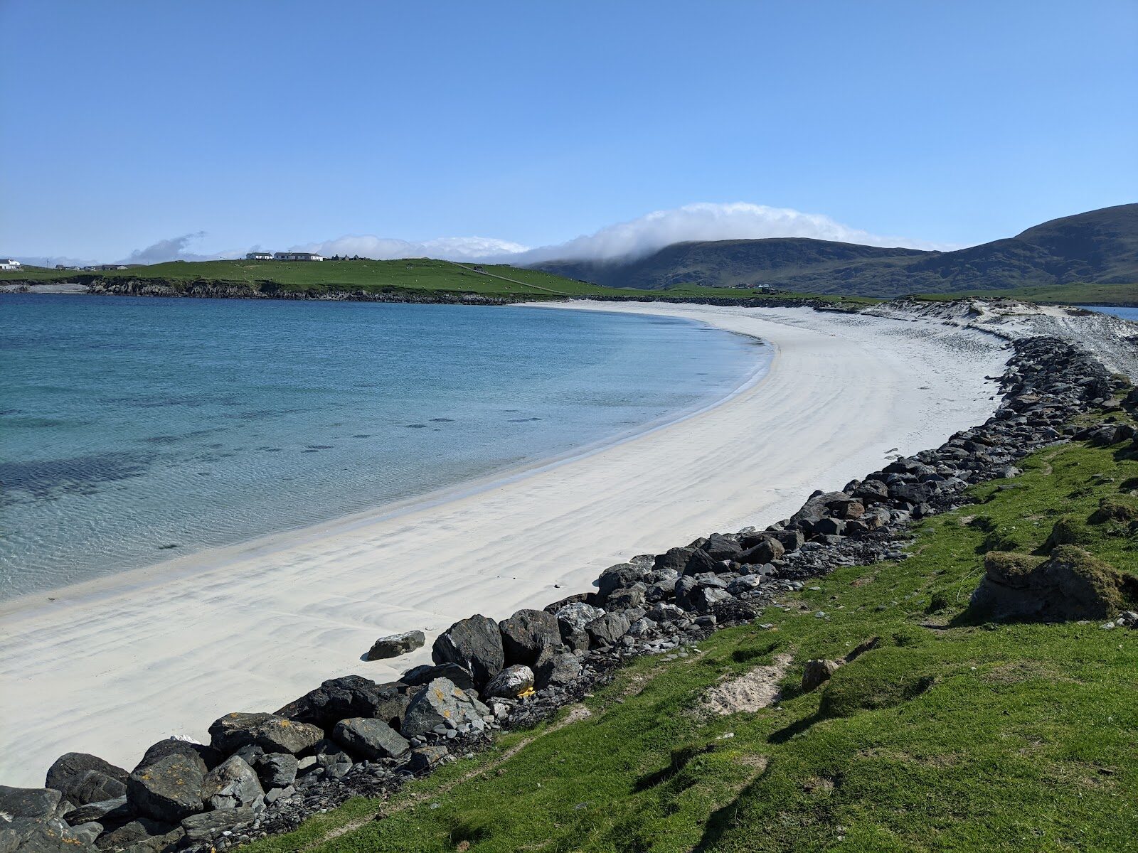
Kettla Ness – A Wild Headland Beyond Minn Beach
5 miles · 2½ to 3 hours
dogs on a lead
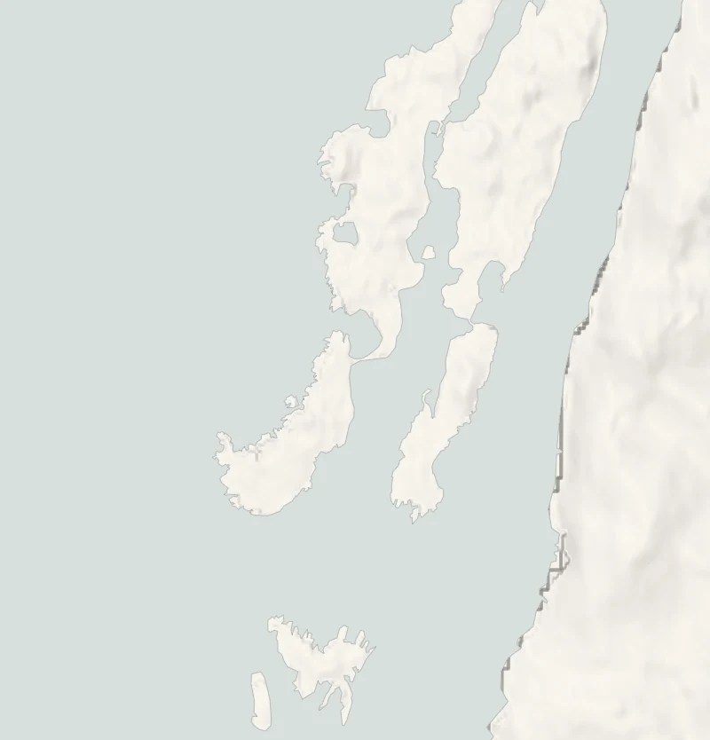
At the south end of West Burra a bar of white sand called Minn beach ties the island to Kettla Ness, a rough green headland of sheep, seabirds and wind.
The round of the headland goes over grass with barely a path, past cliffs and geos (narrow sea inlets), with wide views out to Foula. Burra is reached by bridges from the Shetland Mainland, so no ferry is needed.
Where it starts
Start at the small parking area at the end of the public road at Duncansclett, at the south end of West Burra.
Is it for me?
Tap who is coming, or the day you have, for the answer on this walk.
Before you go
Getting there
It can fill on a fine day.
On the path
Two and a half to three hours: 8 km (5 miles) round with 150 metres of climbing, by a walkers' guide's measure. Grassy coast with faint paths or none, and a couple of fences to climb. Sand, then pathless grass above cliffs, with a couple of fences to climb. A long, pathless walk beside unfenced cliffs: one for older children, kept close.
Good to know
All year in daylight, and not in a strong wind. From November to January, set off by 11am to be back in daylight. Dogs on a lead: sheep graze the whole headland, and terns and skuas nest on it in summer. None at the road end: the nearest public toilets are at the Meal beach car park by Hamnavoe. Unfenced cliffs and no shelter: not a walk for a strong wind.
The walk
The round of Kettla Ness is a circuit of 8 km (5 miles) from the road end at Duncansclett on West Burra, back to the same spot. Scotland Off the Beaten Track, a walkers' guide, allows two and a half to three hours, with 150 metres of climbing. The ground is grassy coast with faint paths or none. The walk's own page, from that guide, has the map.
A short way below the road end is Minn beach. It's a tombolo, a bar of white sand with the sea on both sides, and it's the way onto Kettla Ness. The circuit goes anticlockwise. The west side has the high cliffs, geos cut deep into the rock, caves and stacks, and it leads to The Heugg, a narrow promontory, before a gentler return along the east coast. From the first rise there are views back over Burra and Minn beach, and on a clear day Foula sits on the horizon to the west.
There are a couple of fences to climb, which needs care. The cliffs are unfenced and the grass runs right to the edge, so keep well back, hold on to children, and don't go round the headland at all in a strong wind. Sheep graze the whole of Kettla Ness, so dogs stay on a lead. In summer Arctic terns and skuas nest here and shouldn't be disturbed, and sea pinks, spring squill and orchids brighten the grass.
There's no shelter and no café at this end of Burra, so bring food, a flask and a map. If the wind is too strong for the cliffs, the beach is still there to walk.
If it rains
There's no shelter anywhere on the headland and the grass by the cliff edges is slippery when wet. In rain or a strong wind, go down to the sand at Minn and no further.
Places to stay near the walk
The places to stay nearest the walk.
None of ours is within an hour by road. The nearest, as the crow flies, is House of the Northern Gate in Dunnet, 122 miles away.
Then Lundies House in Tongue, 154 miles away.
More walks near here
Within a short drive of the start.
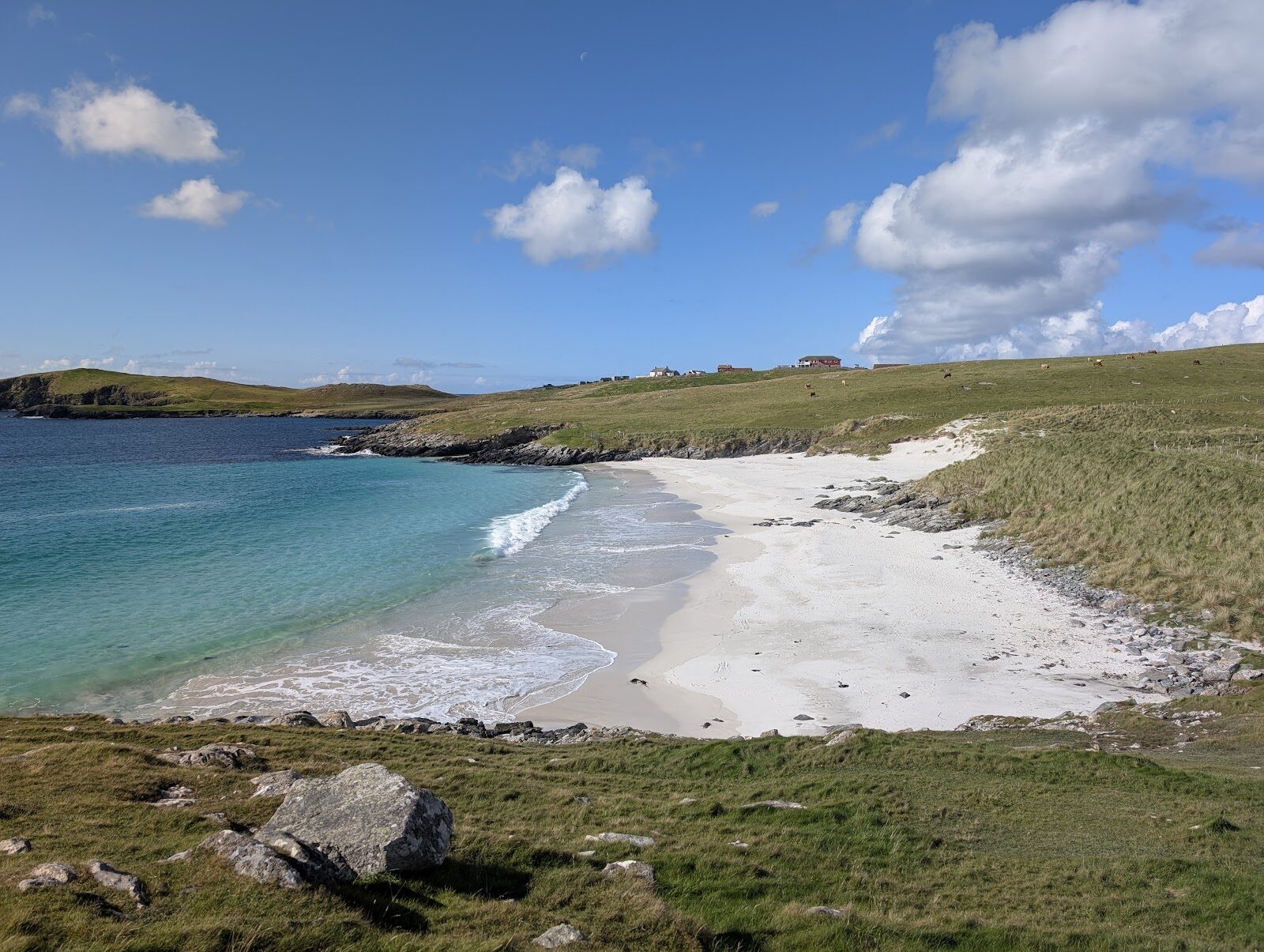
Did this walk?
Tell the next person how it went. The best go on this page, with your name.
For further reading, before you go.
Photograph by yuyun drwiega via Google
Maps from OpenFreeMap © OpenMapTiles, data © OpenStreetMap contributors; heights from Mapzen's terrain tiles.