
Randolph's Leap – A River Walk in the Findhorn Gorge
2¼ miles · 1½ hours · there and back
free parking · dogs on a lead · toilets
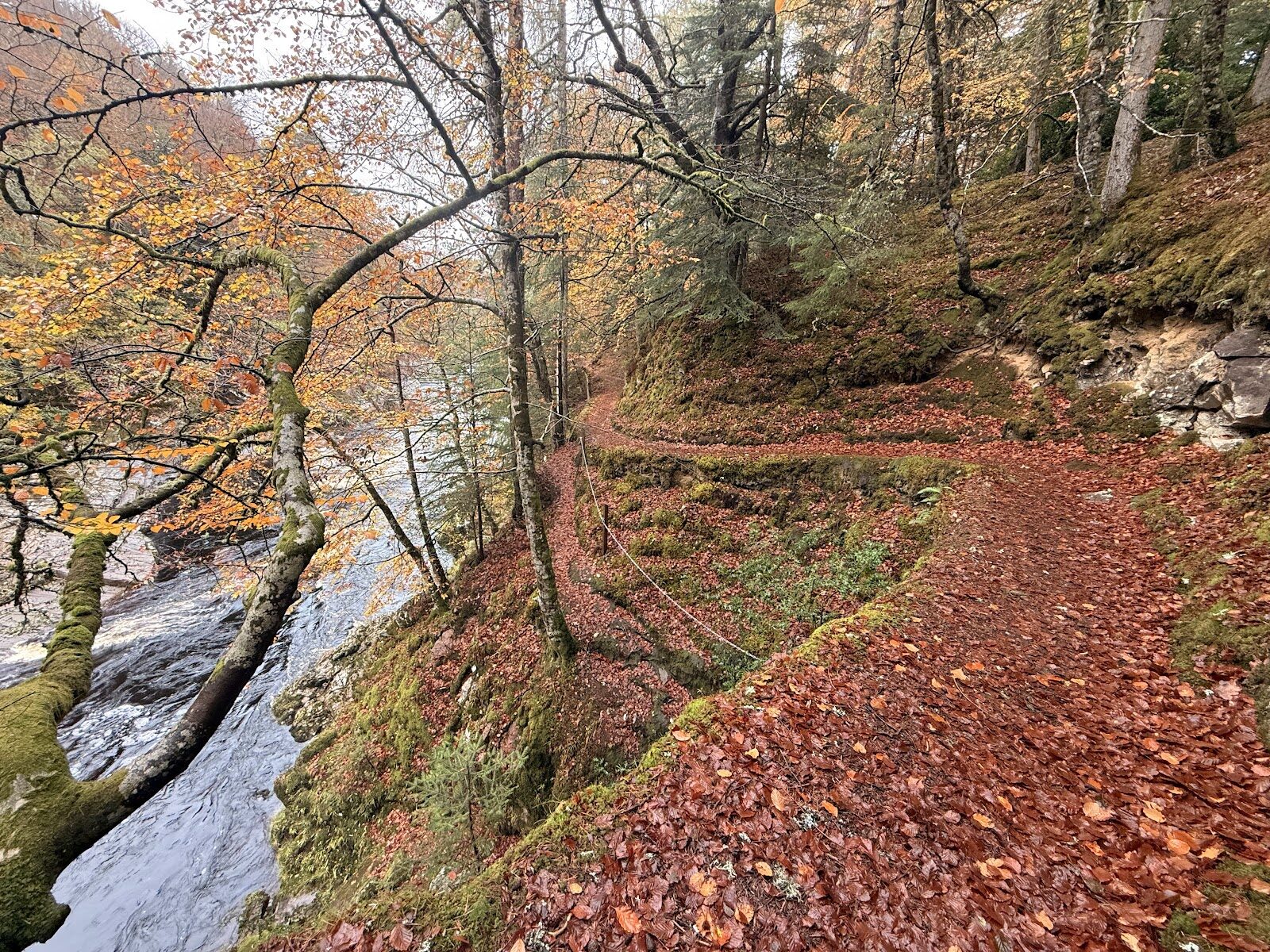
South of Forres the River Findhorn runs dark and fast through a wooded gorge, and at Randolph's Leap the whole river is squeezed into one narrow, noisy channel of rock.
The Logie Estate has a signed walk to it from Logie Steading, and it's at its loveliest when the leaves turn in autumn. Finish at the steading's café.
Is it for me?
Tap who is coming, or the day you have, for the answer on this walk.
Before you go
Getting there
Free.
On the path
About an hour and a half: 3.5 km (2 miles) there and back from Logie Steading, part of it along the B9007 road. Narrow paths, steep-sided in places, and a stretch beside a public road. Not for wheelchairs or pushchairs. A good walk for children who will stay on the path. Keep them well back from the water. There is a playground at the steading.
Good to know
All year in daylight; best in autumn colour or a day or two after rain, when the river is up. From November to January, set off by 1.30pm. Dogs on a lead near the edge and beside the road. The paths are narrow and steep-sided in places, and the river runs fast below them. The leap can also be reached from the B9007, where there is a map board.
The walk
The Randolph's Leap walk is 3.5 km, or about 2 miles, there and back from Logie Steading, south of Forres, and an hour and a half is comfortable. The paths are narrow and steep-sided in places, they want boots after rain, and part of the way is along the B9007 road, so watch for traffic there. They are not for a wheelchair or a pushchair. The walk's own page, from Moray Ways, has the route.
The steading is the old farm steading of the Logie Estate, and it holds the River Findhorn Heritage Centre. The estate has two signed river walks from here. The short one is 1 km.
The Findhorn runs through a deep, wooded gorge, and at Randolph's Leap the river is forced through its narrowest point in a rush of dark water. The name is a muddle. In the 14th century Thomas Randolph, Earl of Moray, fell out with the Cummings, the rangers of the forest of Darnaway. When Alastair Cumming and his men were ambushed, four of them got away by jumping the gorge. So the leap was the Cummings', and Randolph got the name.
Two flood stones on the walk show how high the water came in August 1829. After three days of rain in the Monadhliath hills, the river rose as much as 50 feet above its usual level. Look out for red squirrels and woodpeckers in the trees. The current is strong and the banks drop straight in, so keep children and dogs well back from the edge.
The steading has a café, shops, a playground and toilets for afterwards. Its own page lists the café as open 10am to 4pm; ring 01309 611733 to check the winter hours.
If it rains
The woods give some shelter and the river is at its most dramatic after rain, but the narrow paths turn slippery. In a downpour, do the 1 km short river walk and go back to the steading.
After the walk
Something to do with the rest of the day, nearest the end of the walk first.
With the rest of the day
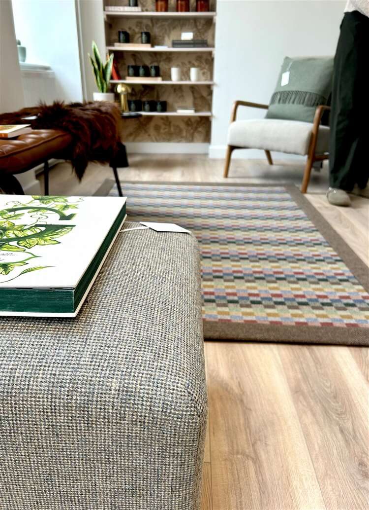 1 min by roadA shopSPÈ AtelierA candle maker's studio shop at Logie Steading, selling soy candles, diffusers and mists inspired by the Speyside landscape and its whisky.
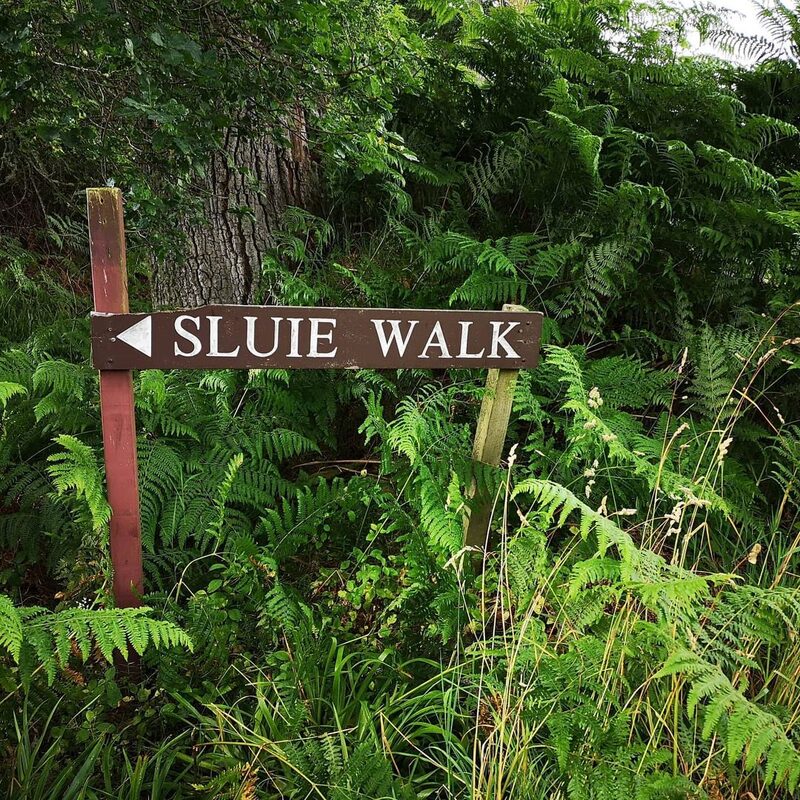 6 min by roadThings to doSluie WalkA walk along the edge of the River Findhorn's deep gorge near Forres, on a narrow path high above the water, linking with Randolph's Leap and Logie.
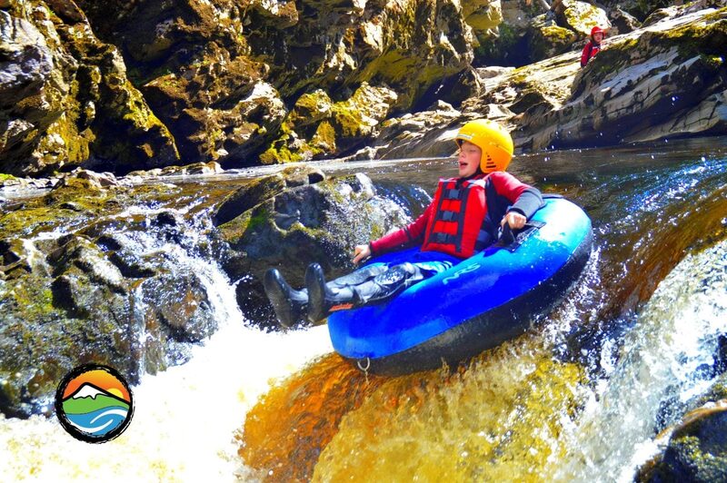 6 min by roadThings to doACE Adventures & HideawaysWhite water rafting on the River Findhorn, with canyoning, tubing and woodland camping in bell tents and shepherd's huts on the Logie Estate.
Places to stay near the walk
Our places to stay nearest the start, by road.
An advert · Brodie
Culbin Edge
A timber eco holiday home for up to four at the edge of Culbin Forest near Brodie, with a wood-fired cedar hot tub on the deck.
Sleeps 4 · 17 minutes by road
See Culbin Edge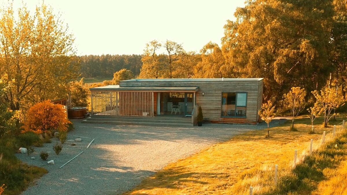
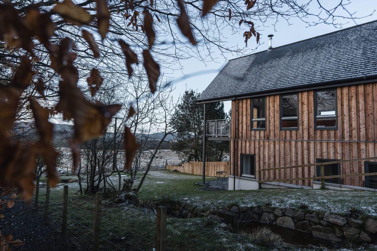
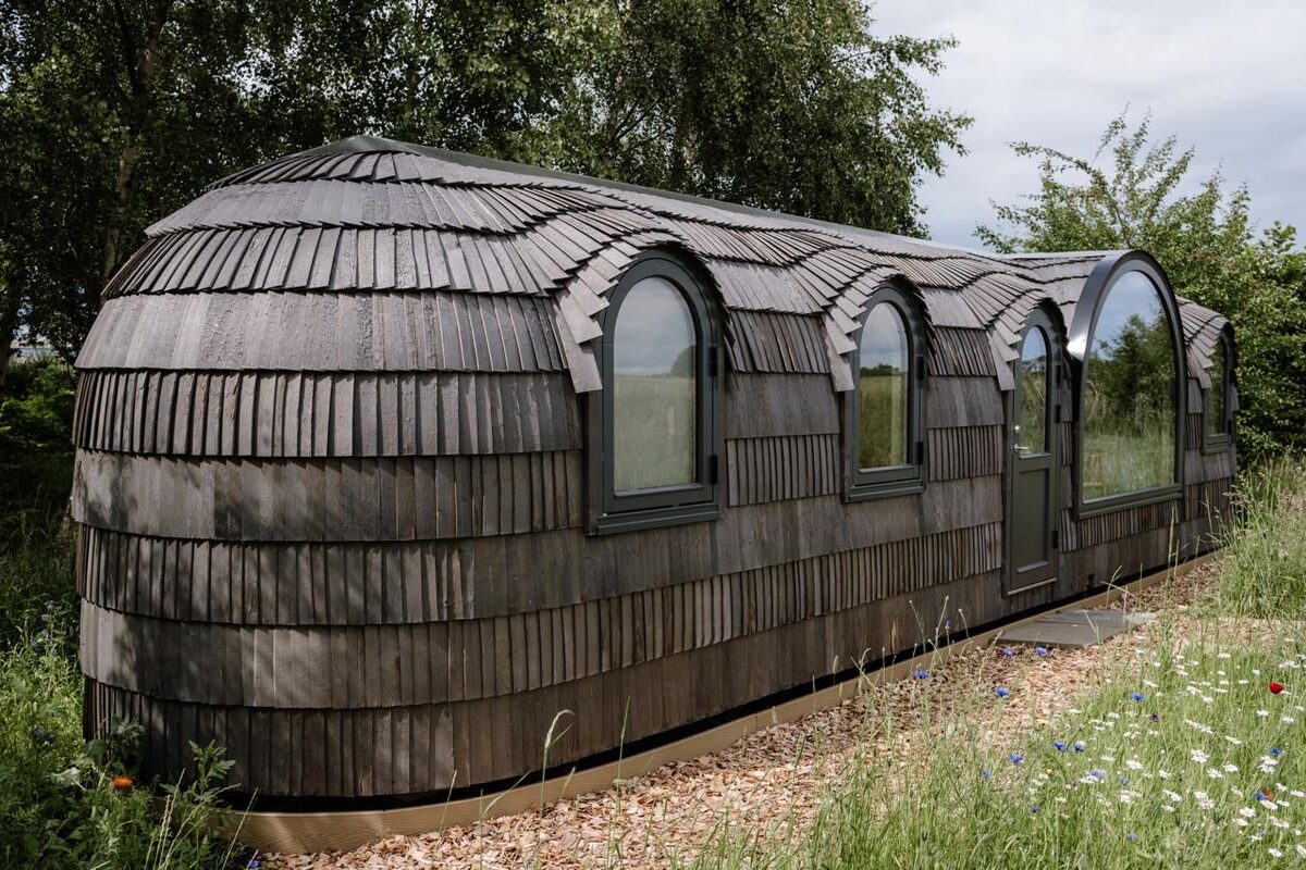
More places to stay near the walk
More walks near here
Within a short drive of the start.
Did this walk?
Tell the next person how it went. The best go on this page, with your name.
For further reading, before you go.
Photograph by Ian Foster via Google
Maps from OpenFreeMap © OpenMapTiles, data © OpenStreetMap contributors; heights from Mapzen's terrain tiles.