
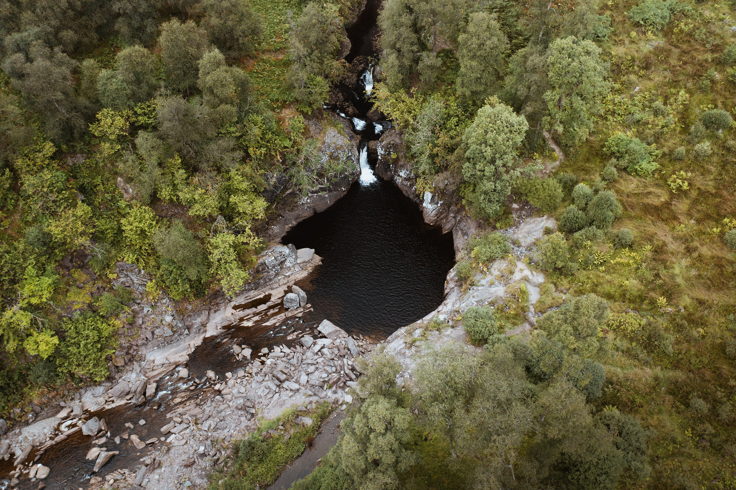
Callander Crags – a Waterfall, a Ridge and a Jubilee Cairn
About 4 miles on foot.
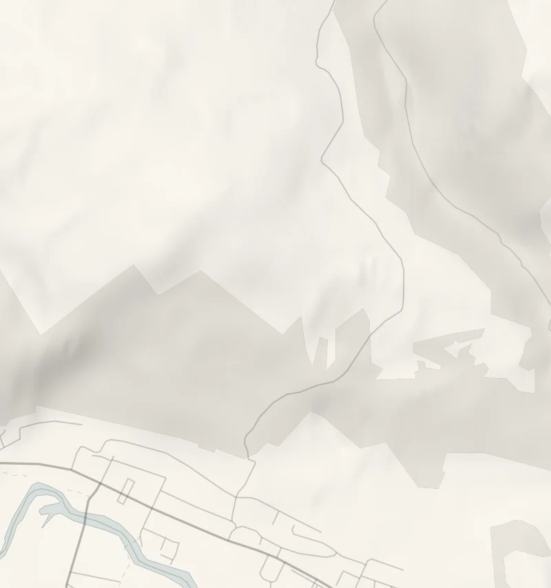
The round of Bracklinn Falls and Callander Crags starts just above the town.
It crosses a footbridge over a roaring gorge, follows a woodland track along the Keltie Water and climbs steeply to a cairn high over Callander, with the Trossachs hills spread out to the west. Lunch is back down in the town at Mhor Bread. It suits fit walkers and older children in good boots.
- Time
- About three hours for the four-mile round.
- The path
- Woodland paths and a forest track, a steep climb through scrubby woodland to the ridge, and about 80 rough steps down.
- Where to start
- The Bracklinn Falls car park on Bracklinn Road, above the east end of Callander.
- Set off
- The Bracklinn Falls car park, up the hill past the Callander Crags car park.
- When to go
- Open hillside and woodland all year in daylight; from November to February set off by noon.
- Children
- Four fairly energetic miles; steep drops above the gorge at the footbridge, so keep children close.
- Toilets
- No facilities at the falls; toilets in Callander.
- Before you set out
- From November to February set off by noon: the sun sets at Callander at about 3.40pm in late December.
The walk
Park in the Bracklinn Falls car park: from the east end of Callander, go up Bracklinn Road, past the Callander Crags car park on the left and up the steep hill. There are no toilets up here, so use the town's first. The round is about four miles of woodland and crag-top walking, fairly energetic, so wear stout footwear and allow about three hours. The waymarked round takes in two things: Bracklinn Falls, where the Keltie Water pours through a rocky gorge under a footbridge, and the Callander Crags, the wooded ridge above the town.
Keep children close at the falls. Between the two it keeps to the Keltie Water as far as a second bridge above the deep Scout Pool, then nearly a mile of quiet public road. The climb to the ridge is steep, through scrubby woodland, to the cairn built for Queen Victoria's Jubilee, at 343 metres. From the top, Ben Ledi, Ben Lomond and Ben Vorlich lie to the west and north, and Stirling Castle and the Wallace Monument to the south-east.
The way down is rough, with about 80 steps through the trees. From November to February, set off by noon.
If it rains
After rain the falls are at their fullest, but the crag paths are steep and slippery: on a wet day keep to the short walk from the car park to the falls and back, about half a mile each way, and have lunch in town.
Afterwards
4 min by car
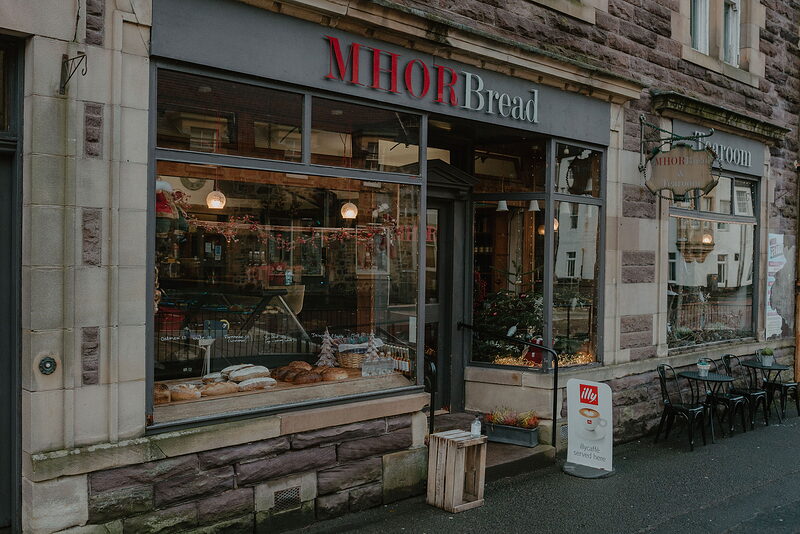
Mhor Bread
Lunch
Drive 4 minutes back down into the middle of Callander. Park in the big car park up Station Road at the west end of Main Street, where the charges are on the board and there are public toilets by the entrance. Mhor Bread at 8 Main Street is a bakery with a tearoom beside the shop, open every day from 8am to 5pm: have one of its pies or a sausage roll, then a cake or a giant meringue. There's a step at the shop door. If it's full, the Ben Ledi Coffee Company a few doors along usually opens until 4pm on weekdays and 5pm at weekends; check its Facebook page.
Before you go
Book accommodation nearby
If you are staying over: here are ours nearest where the day starts and ends.
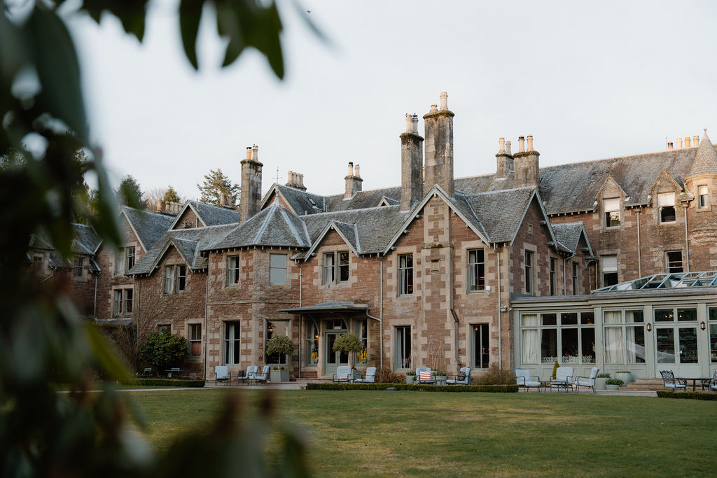
The nearest of ours is Cromlix, 10 miles away.
Then Monachyle Mhor, 12 miles away.
Where to eat

Ben Ledi Coffee Company, a café in Callander.
Photograph by Steve Pearce via Google