
Arichonan – The Roofless Houses of a Township Cleared in 1848
About 1.3 miles on foot.
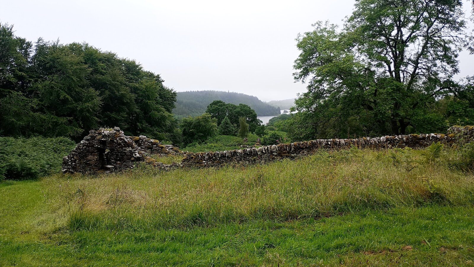
Arichonan was a farming township in the hills of Knapdale until 1848, when the landlord cleared its tenants from the land.
The houses they left still stand on the hillside, roofless but with their gables, doorways and windows in place, and the view from them runs down the narrow water of Caol Scotnish towards Loch Sween. It's a short, steep walk of about an hour, and a moving one.
- Time
- About an hour: a waymarked trail of 2.1 km (1.3 miles), graded strenuous, with one long, fairly steep slope.
- The path
- An uneven grassy path, narrow and muddy in places, with tree roots and one long, fairly steep slope.
- Where to start
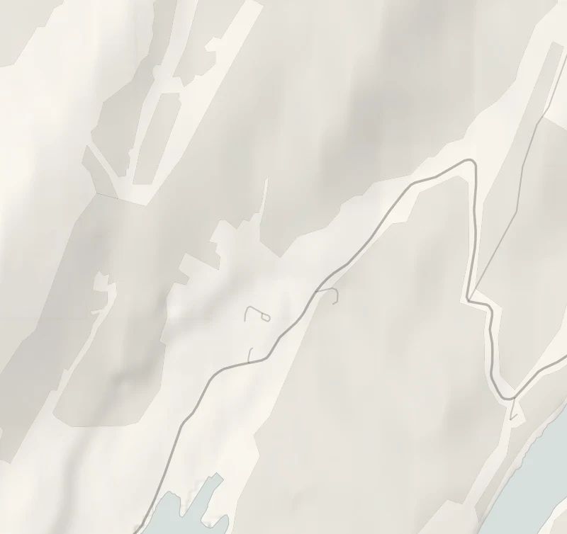
- Gleann a' Ghealbhain car park, on the east side of the B8025 about three miles from Bellanoch on the way to Tayvallich. Free. The trail starts across the road.
- When to go
- All year in daylight. A clear day gives the view down Caol Scotnish to Loch Sween.
- Dogs
- Under close control.
- Children
- A short climb that most children manage. Hold hands at the road crossing, and keep off the old walls.
- Toilets
- None here. There are public toilets on the quay at Crinan.
- Before you set out
- The trail starts with a road crossing.
The walk
Gleann a' Ghealbhain car park is on the east side of the B8025, the road from Bellanoch on the Crinan Canal to Tayvallich, about three miles from Bellanoch. Parking is free. The nearest postcode, PA31 8PG, belongs to a spot several miles further on, so watch for the Forestry and Land Scotland sign. The trail starts across the road from the car park, so take care crossing. Forestry and Land Scotland gives the Arichonan Township Trail as 2.1 km, or a mile and a quarter, and allows an hour.
The path climbs through larch woods to the ruins. Arichonan was the largest of a group of townships in this corner of Knapdale, and in 1848 the landlord cleared its tenants off the land. The buildings have lasted far better than most of their kind. Stone gables still stand to their full height, with doorways and small windows you can look through, and you can walk from house to house and begin to picture the place when it was lived in. From the village you look down Caol Scotnish, a narrow arm of the sea, and on towards Loch Sween.
The trail is short but graded strenuous. It's an uneven grassy path, narrow and muddy in places, with tree roots and one long, fairly steep slope. There are no toilets or café here. Tayvallich, four miles on down the road, and Crinan both have places to eat, and there are public toilets on the quay at Crinan. Keep dogs under close control.
If it rains
There's little shelter once you're out of the larches, the grass path turns to mud and the view down the loch goes in low cloud. Keep it for a dry day.
Before you go
Book accommodation nearby
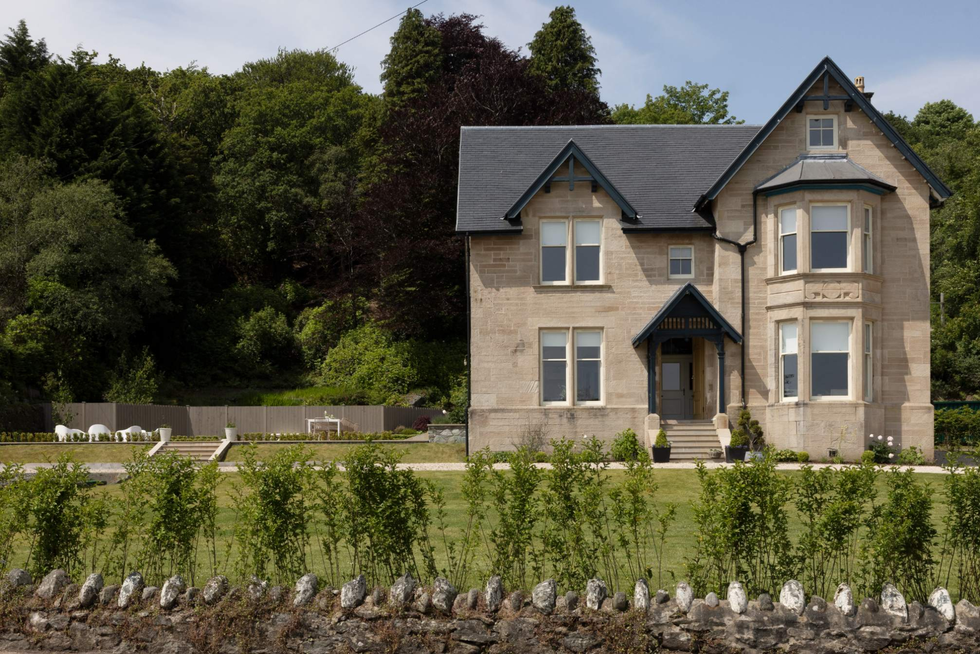
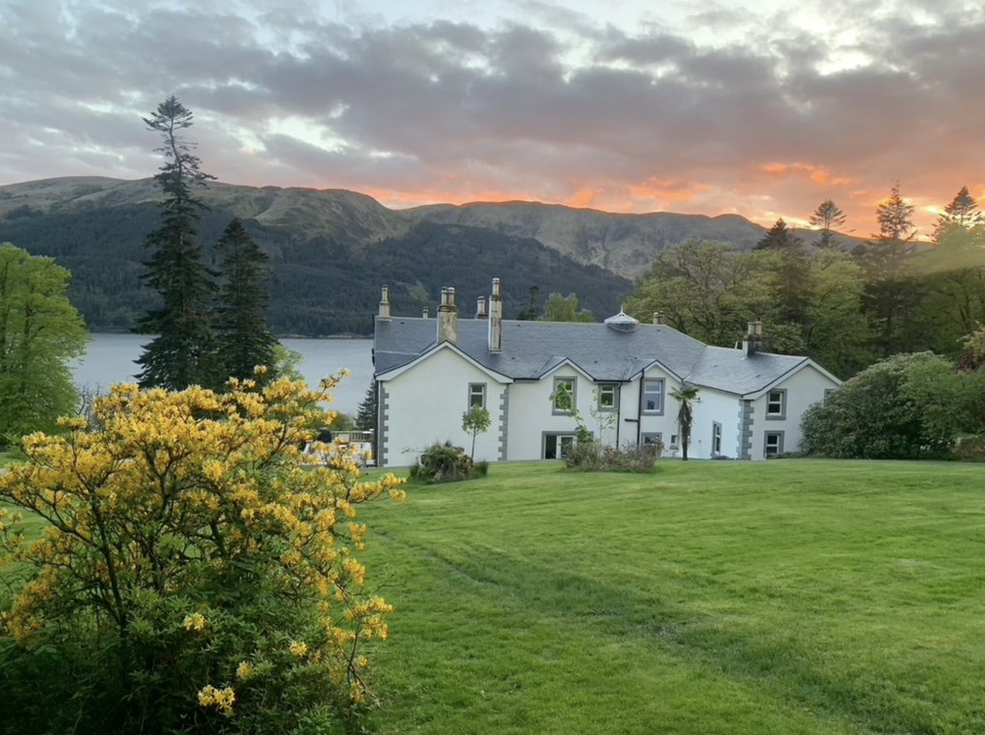
If you are staying over: here are ours nearest where the day starts and ends.
For further reading, before you go.
Photograph by Sarah Takahashi via Google