
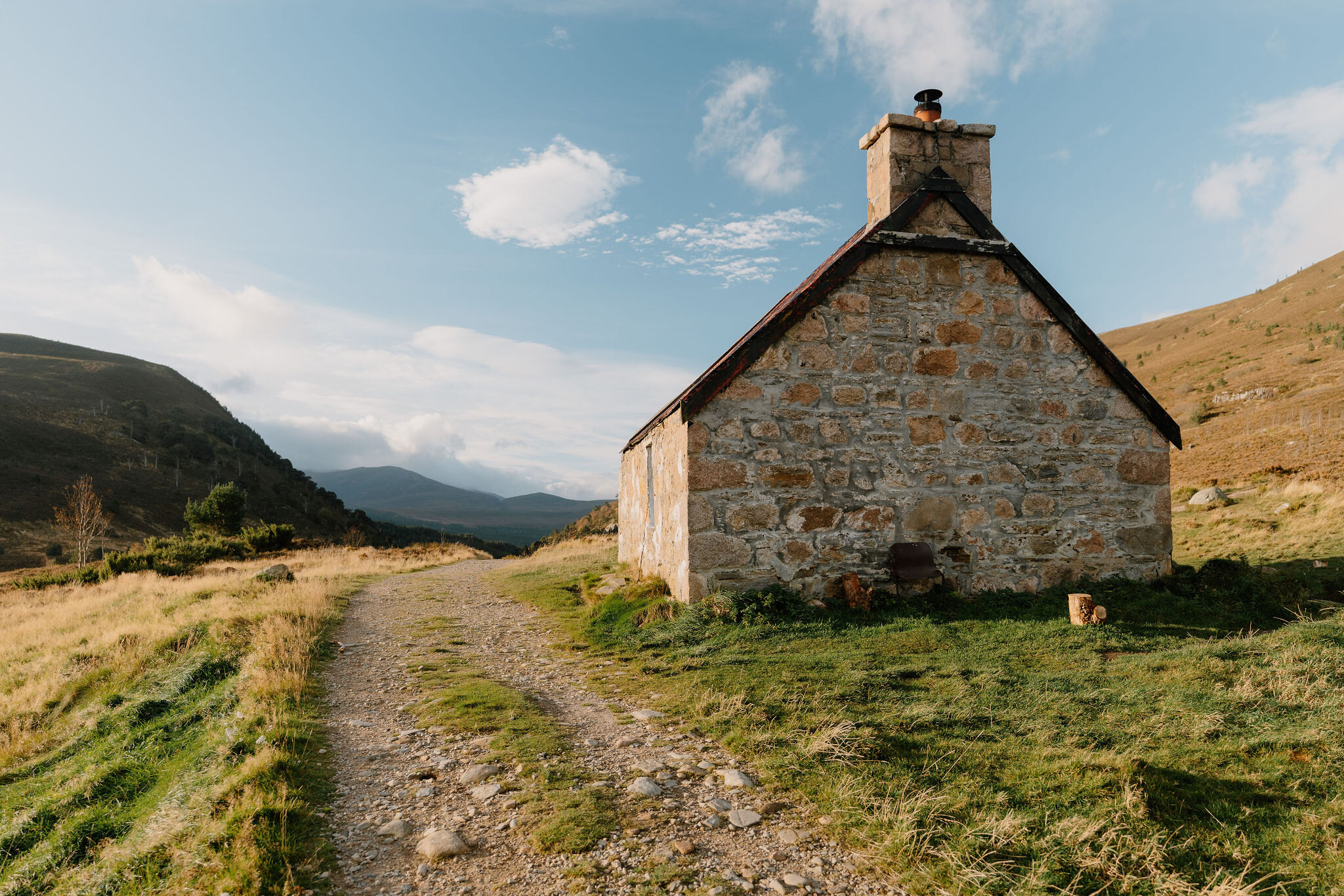
Ryvoan Bothy – Past the Green Lochan to the Thieves' Road
About 5 miles on foot.
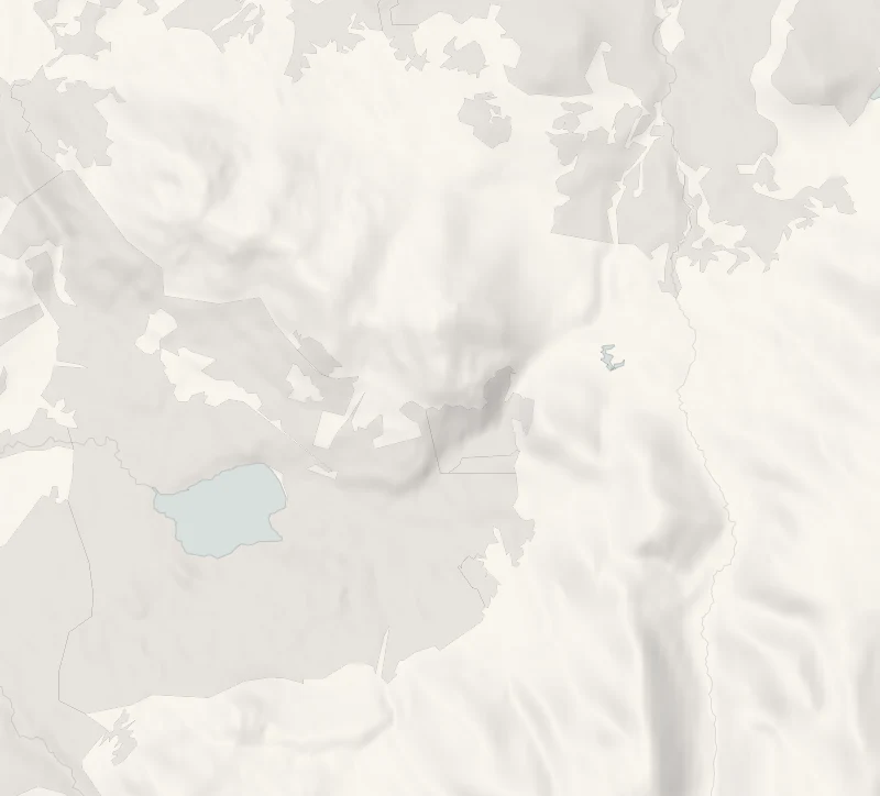
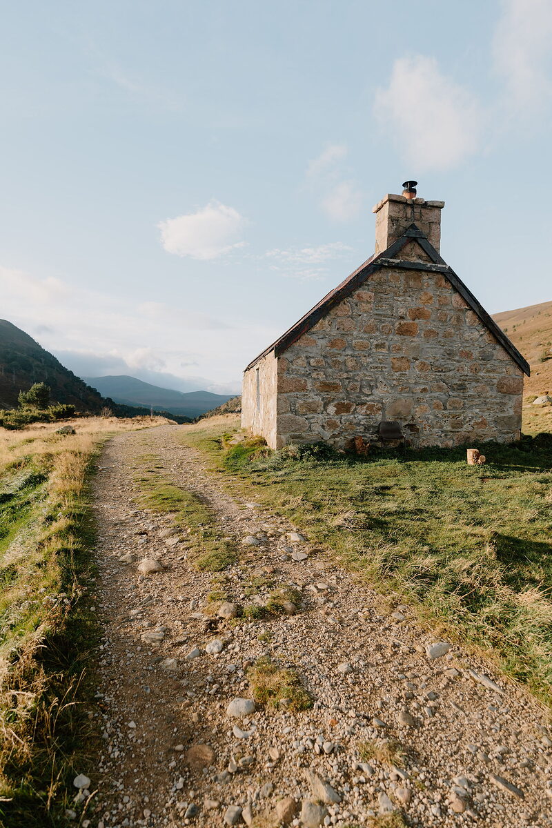
Ryvoan Bothy is a one-room stone bothy with a rusty red tin roof, standing on its own at the head of the Ryvoan Pass above Glenmore, on the old Thieves' Road north to Nethy Bridge.
The way there runs through ancient pine and birch forest and past the Green Lochan, and lunch is back at the start in the Allt Mor Café. It suits anyone happy on forest tracks for a morning.
- Time
- About three and a half hours, with time at the lochan and in the bothy.
- The path
- Gravel forest road and track, with some short, fairly steep slopes on the forest part.
- Where to start
- The Glenmore Visitor Centre car park, on the ski road just past Loch Morlich, PH22 1QU. The community trust runs it and charges; Forestry and Land Scotland passes are not valid there.
- When to go
- All year.
- Dogs
- Under close control, and on a lead from 1 April to 31 August where signs ask, for the birds that nest on the ground; the bothy stands on an RSPB reserve, where restrictions can apply at nesting time.
- Children
- For children used to a walk on forest tracks. There is open water at the lochan: keep children close at its edge.
- Toilets
- In the visitor centre while its café is open; toilets open at all hours a minute's walk away, near the bus stop in Glenmore village. None on the walk.
- Before you set out
- Wear boots and bring waterproofs and warm layers. Fires and barbecues are not allowed in Glenmore Forest Park.
The walk
This walk starts and ends at the Glenmore Visitor Centre and runs through the forest to An Lochan Uaine, the Green Lochan, then on through the Ryvoan Pass to Ryvoan Bothy and back the same way: 7.9 km in all. Allow about three and a half hours, with time at the lochan and in the bothy. The trail's own page has a route card with a map as far as the lochan.
Outside the visitor centre stands a memorial to Kompani Linge, the Norwegian resistance fighters who trained in these forests in the Second World War. The pinewood beyond is one of the best places to look for crested tits and Scottish crossbills.
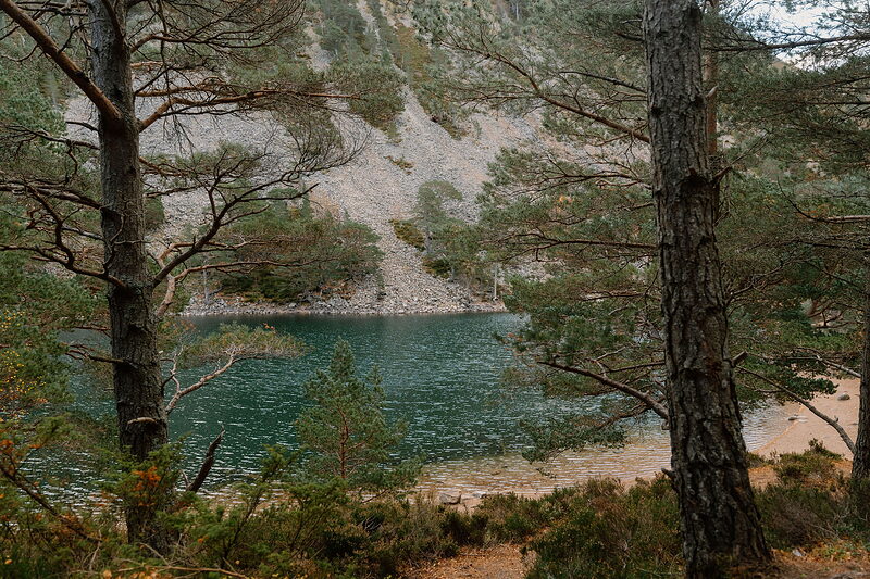
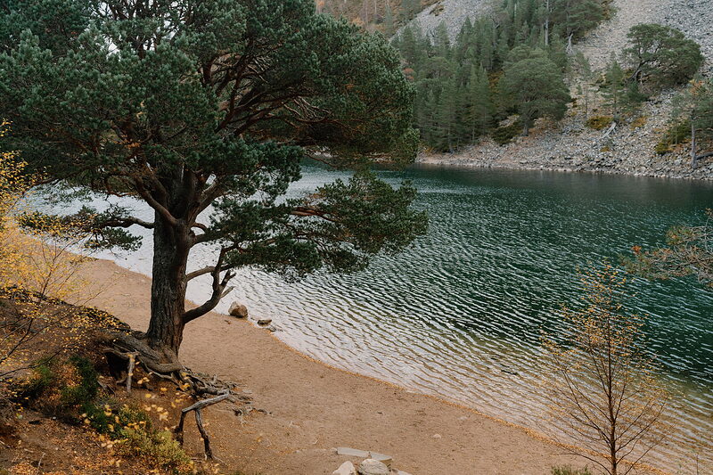
An Lochan Uaine lies under a slope of grey scree, its water a startling green; the old story is that the fairies wash their clothes in it. Just over a kilometre on, the trees thin out in the Ryvoan Pass, a channel cut by glacial meltwater, and the bothy stands on the open heather at its head. Ryvoan was a farm until 1877, when it was abandoned, and the Mountain Bothies Association renovated it in 1967. Inside is a whitewashed room with a stove and a sleeping platform, and by tradition a copy of A. M. Lawrence's poem about the night train north from Euston is kept on the door.
The walk turns at the bothy: in October a section of the way on to Nethy Bridge was closed beyond it while work went on, and Forestry and Land Scotland's Glenmore page has the latest. Trees damaged by the July 2026 wildfire still stand in places, so keep to the forest roads and waymarked trails, above all on a windy day. In winter, set off with three hours of daylight in hand.
If it rains
Rain does the gravel tracks little harm, and the bothy is a dry place to stop at the far end.
Afterwards
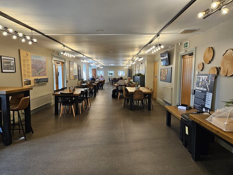
Allt Mor Café
Lunch
Lunch is back at the start, in the Allt Mor Café inside the Glenmore Visitor Centre, a few steps from the car. The community trust has owned the centre and its café since November 2024, and the refurbished room serves coffee, cakes, breakfast rolls and lunches seven days a week; the visitor centre's website gives the day's hours. Dogs are welcome inside, and there's no need to book.
Before you go
Book accommodation nearby
If you are staying over: here are ours nearest where the day starts and ends.
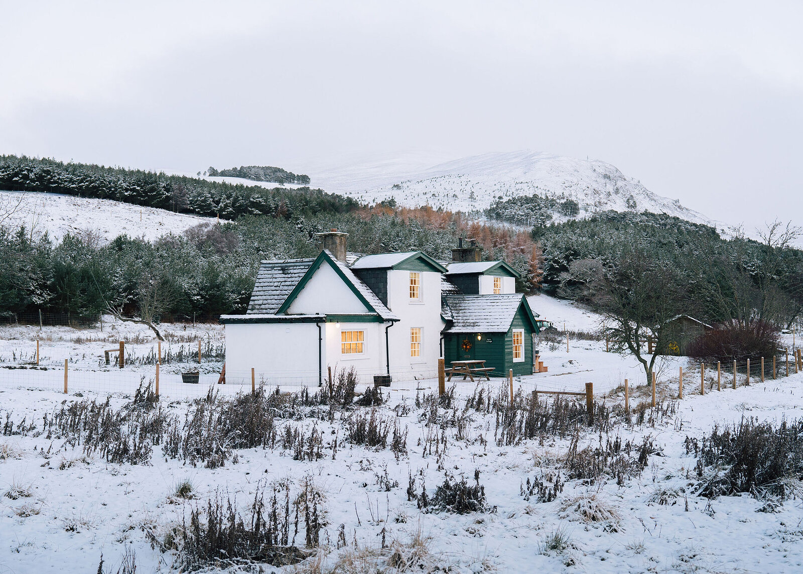
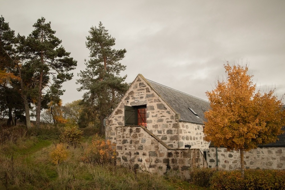
The nearest of ours is Park Cottage in Kincraig, 9 miles away. Sleeps 6; next free Fri 30 Oct to Sun 1 Nov.
Then The Hayloft, 13 miles away. Sleeps 2.
Make it a weekend
Days that start near Allt Mor Café.
For further reading, before you go.
- The Ryvoan Trail, Forestry and Land Scotlandforestryandland.gov.scot↗
- Glenmore Forest Park route card (PDF), Forestry and Land Scotlandforestryandland.gov.scot↗
- What is open and closed at Glenmore, Forestry and Land Scotlandforestryandland.gov.scot↗
- Ryvoan, Mountain Bothies Associationmountainbothies.org.uk↗
Photograph by charlie just charlie via Google
Maps from OpenFreeMap © OpenMapTiles, data © OpenStreetMap contributors; heights from Mapzen's terrain tiles.