
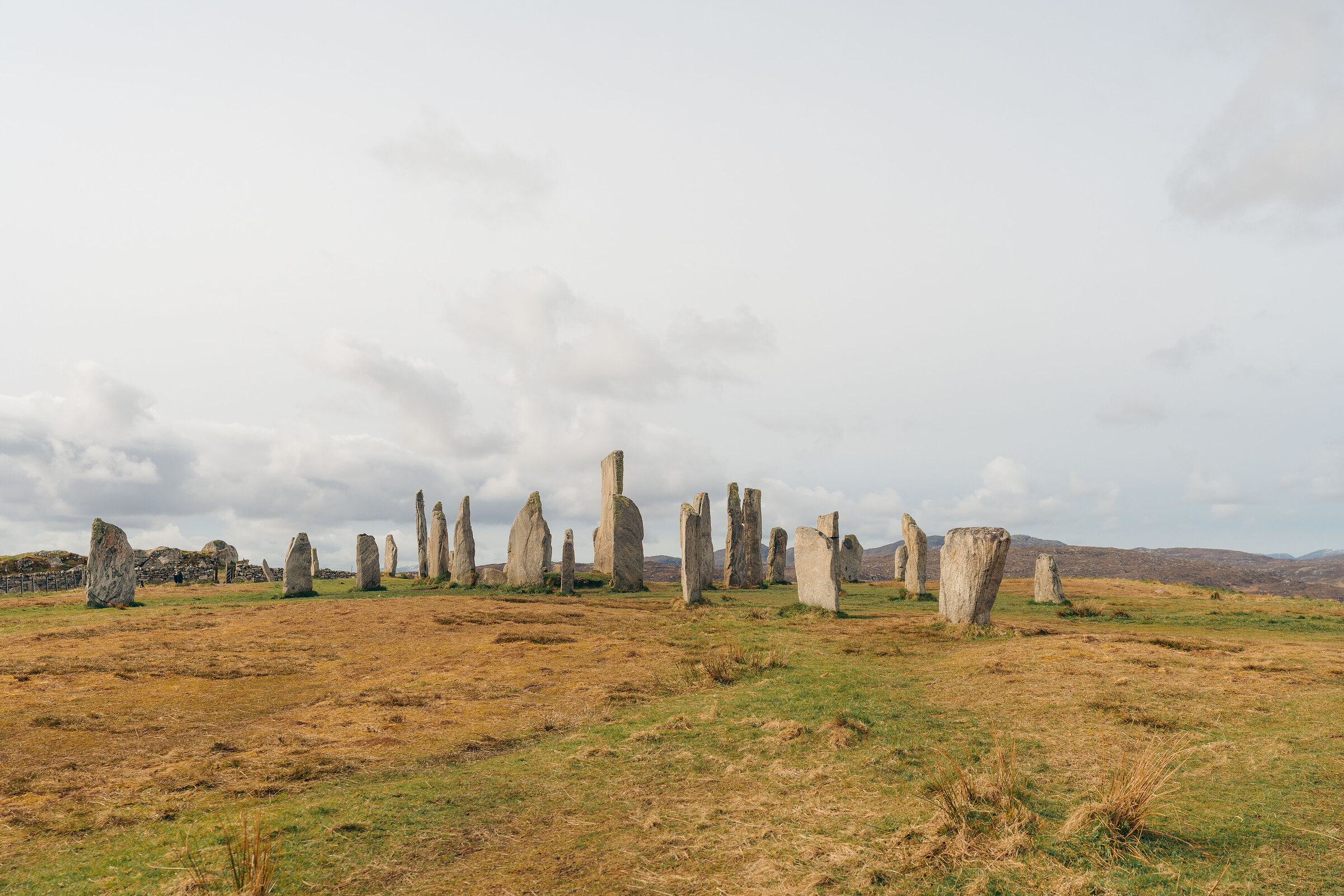
Calanais on Foot – The Great Stones and Their Two Neighbours
2 miles · 1 to 2 hours
free parking · dogs on a lead · toilets
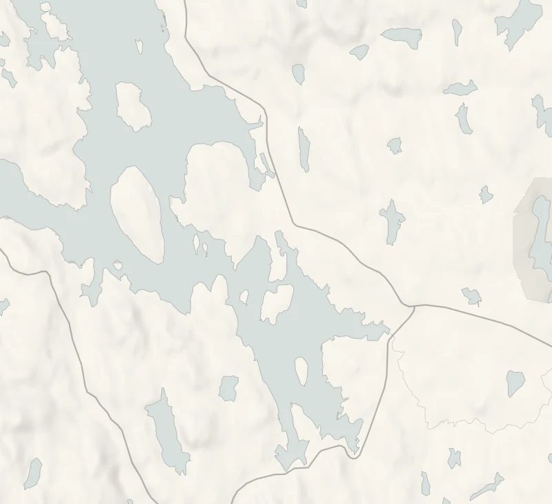
Beyond the great stones at Calanais, two more circles stand on low rises to the south-east, within sight of the main ring.
This walk joins all of them by township road, a short path and the lane up to the main stones. It ends back at the visitor centre and its café.
Is it for me?
Tap who is coming, or the day you have, for the answer on this walk.
Before you go
Getting there
Free.
On the path
One to two hours: 2 miles (3.2 km) by township road, a short path and a steep lane. Graded moderate. Roads and a rough path, with a steep lane up to the main stones. A short walk a child of eight or so can manage: take care together on the stretch of main road.
Good to know
All year in daylight. The visitor centre and its café are open Monday to Saturday, 10am to 4pm from October to March, and shut on Sundays. From November to January, set off by 1pm to be back in daylight. For lunch, be back at the café before 3pm. On a lead: the walk crosses crofts with sheep. Dogs on leads are welcome in the visitor centre but not in the exhibition. Toilets at the visitor centre, in its opening hours only: none on a Sunday. In the centre's hours the main stones are by ticket. Outside them, and on Sundays, the path to the stones stays open.
The walk
This is a walk of 2 miles (3.2 km), graded moderate, taking one to two hours, from the Calanais Visitor Centre out to two more circles and back, with a steep lane up to the main stones at the end. The ground is township road, a short path and a short stretch of the A858, which is a main road, so take care with traffic. The walk's own page, on the Outer Hebrides visitor site, grades it.
Calanais II, Cnoc Ceann a' Ghàrraidh, is a wide ring of thin stones, five still standing, round a cairn, on a ridge that looks back to the main stones and out over East Loch Roag. Calanais III, Cnoc Fhillibhir Bheag, is a short path away: two rings, one inside the other, with eight of the outer ring's stones still upright and four left in the inner. Both stand on open croft land.
The great stones come last, up a steep lane near the centre. A ring surrounds one tall central stone, nearly five metres high. Rows of stones run out from the ring in a rough cross, the longest an avenue to the north-north-east. All are local Lewisian gneiss. In the centre's hours, entry to them is by ticket, booked on calanais.org. It covers the exhibition too and is good for a year. Outside those hours, and on Sundays, the path to the stones stays open. The stones were raised around 2750 BC, and the place had been given up by about 800 BC.
The centre and its café are open Monday to Saturday, from 10am to 4pm between October and March, and shut on Sundays. This is crofting ground with sheep, so dogs stay on a lead; dogs on leads are welcome in the centre, though not in the exhibition. The ridge is open to every wind, so wrap up. The café serves hot food until 3pm and lighter things after, and takes no bookings. On a Sunday, bring a flask.
If it rains
It's a short walk, much of it on roads, so a shower needn't stop it, and from Monday to Saturday the exhibition and the café are indoors at the end. The ridge at the main stones has no shelter at all.
Before you go
In the visitor centre's hours, Monday to Saturday, entry to the main Calanais stones is by ticket: book it on calanais.org.
Places to stay near the walk
Our places to stay nearest the start, by road.
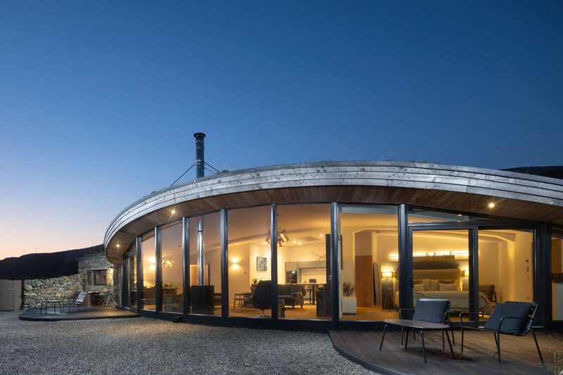
None of ours is close to the start. The nearest is Harris Hideaway in Cliasmol, 42 miles from the start. Sleeps 2. An advert.
Did this walk?
Tell the next person how it went. The best go on this page, with your name.
For further reading, before you go.
Maps from OpenFreeMap © OpenMapTiles, data © OpenStreetMap contributors; heights from Mapzen's terrain tiles.