
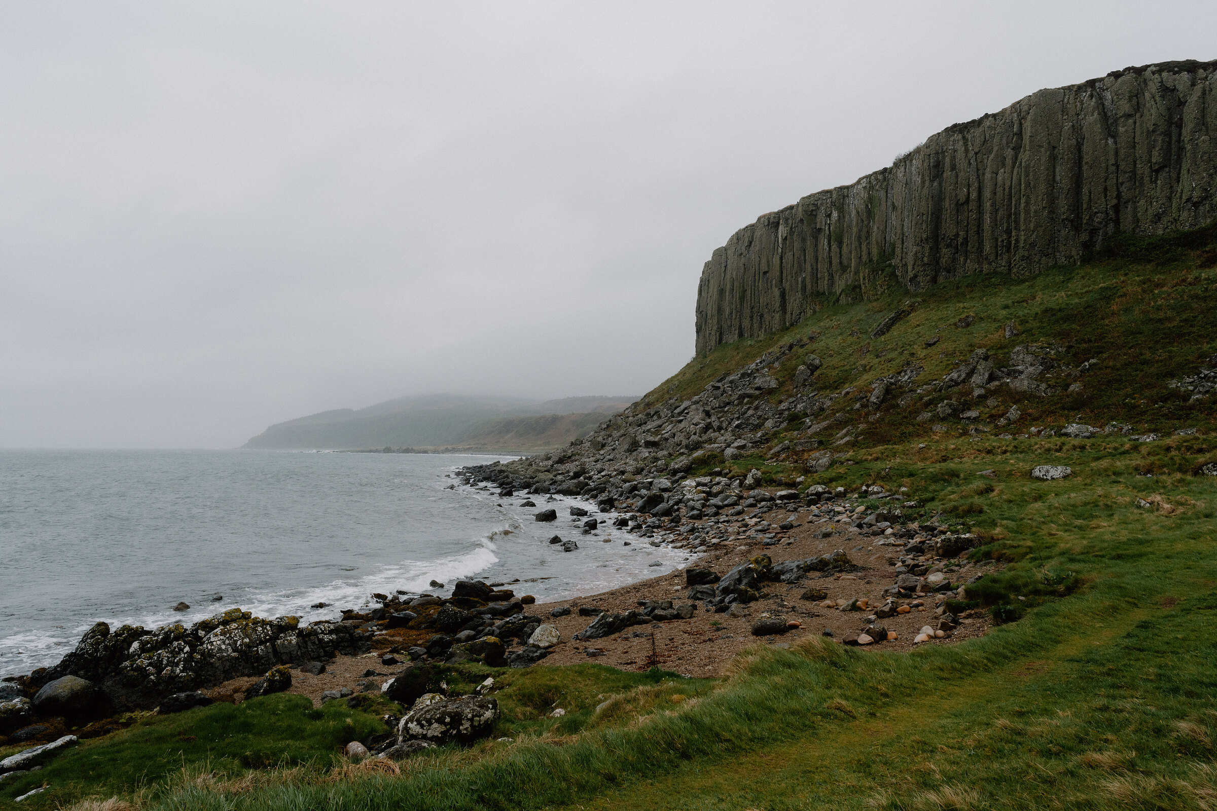
The Doon – Columned Cliffs and Arran's Largest Iron Age Fort
About 2.5 miles on foot.
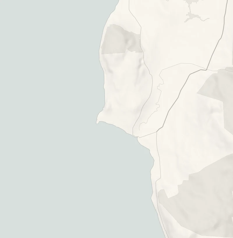
At Blackwaterfoot, on Arran's west coast, a sandy bay runs out to Drumadoon Point, and above it stands the Doon, a flat-topped hill ringed on its seaward side by tall columns of dark rock.
People walled its summit off as a fort in the Iron Age, and it's the largest on the island. The walk round it is about 4 km, with the Kilbrannan Sound and Kintyre beside you most of the way.
- Time
- An hour and a half to two hours: a circuit of about 4 km (2.5 miles) with around 70 metres of climb.
- The path
- Sand, field and shore paths, a rough stretch over boulders and faint paths on the hill. Not for wheelchairs or pushchairs.
- Where to start
- The car park at the road end beside Shiskine Golf and Tennis Club, on the west side of Blackwaterfoot. No charge.
- When to go
- All year in daylight. From November to January set off by 12.30pm. No ferry to Arran on 25 December or 1 January. Wind can stop the boat: look at CalMac's service status page on the morning you travel.
- Dogs
- Under close control: a golf course and sheep.
- Children
- Unfenced cliffs on the Doon and a rough stretch over boulders.
- Toilets
- None on the walk; Blackwaterfoot's public toilets are in the village.
- Before you set out
- A rough stretch over boulders on the west side of the hill, and unfenced cliffs. No ferry to Arran on 25 December or 1 January. Wind can stop the boat: look at CalMac's service status page on the morning you travel.
The walk
Park at the end of the road on the west side of Blackwaterfoot, in the car park beside Shiskine Golf and Tennis Club, where there's no charge. The public toilets are a short way back along the road, in the village. The walk is a circuit of about 4 km, or two and a half miles, with around 70 metres of climb, and a walker's guide to it allows an hour and a half to two hours. It starts along the sand of Drumadoon Bay and goes out to Drumadoon Point, then round the seaward side of the Doon, where the cliff stands in tall grey columns above a shore of boulders. The top of the hill is 59 metres up and almost flat. It was a fort in the Iron Age, the largest on Arran at nearly 12 acres, guarded by the cliffs on the sea side and by a single wall, up to three metres thick, on the others.
One standing stone, older than the fort, stands inside. The going is sand, then field and shore paths, with a rough stretch over boulders on the west side of the hill and only faint paths on the top. The walk runs beside the golf course and past sheep, so keep dogs under close control. The cliff edges are unfenced: keep children close on the top. From November to January, set off by 12.30pm. Arran is reached on CalMac's car ferry from Ardrossan to Brodick, a crossing of 55 minutes.
Book the car on before you travel, and be at the pier 30 minutes before the boat sails. On the winter timetable, from 19 October 2026 to 6 March 2027, a boat leaves Ardrossan at 9.45am every day, and the last one back leaves Brodick at 7.20pm, or at 4.40pm on a Saturday. Until 18 October the summer timetable applies, so read the times on CalMac's Ardrossan to Brodick page. Wind can stop the boat: look at CalMac's service status page on the morning you travel.
If it rains
There's no shelter on the beach, the point or the hill, and the boulders under the cliffs are slippery when wet. In rain or a strong westerly, walk the beach to the point and back, and leave the Doon for a dry day.
Before you go
Book accommodation nearby
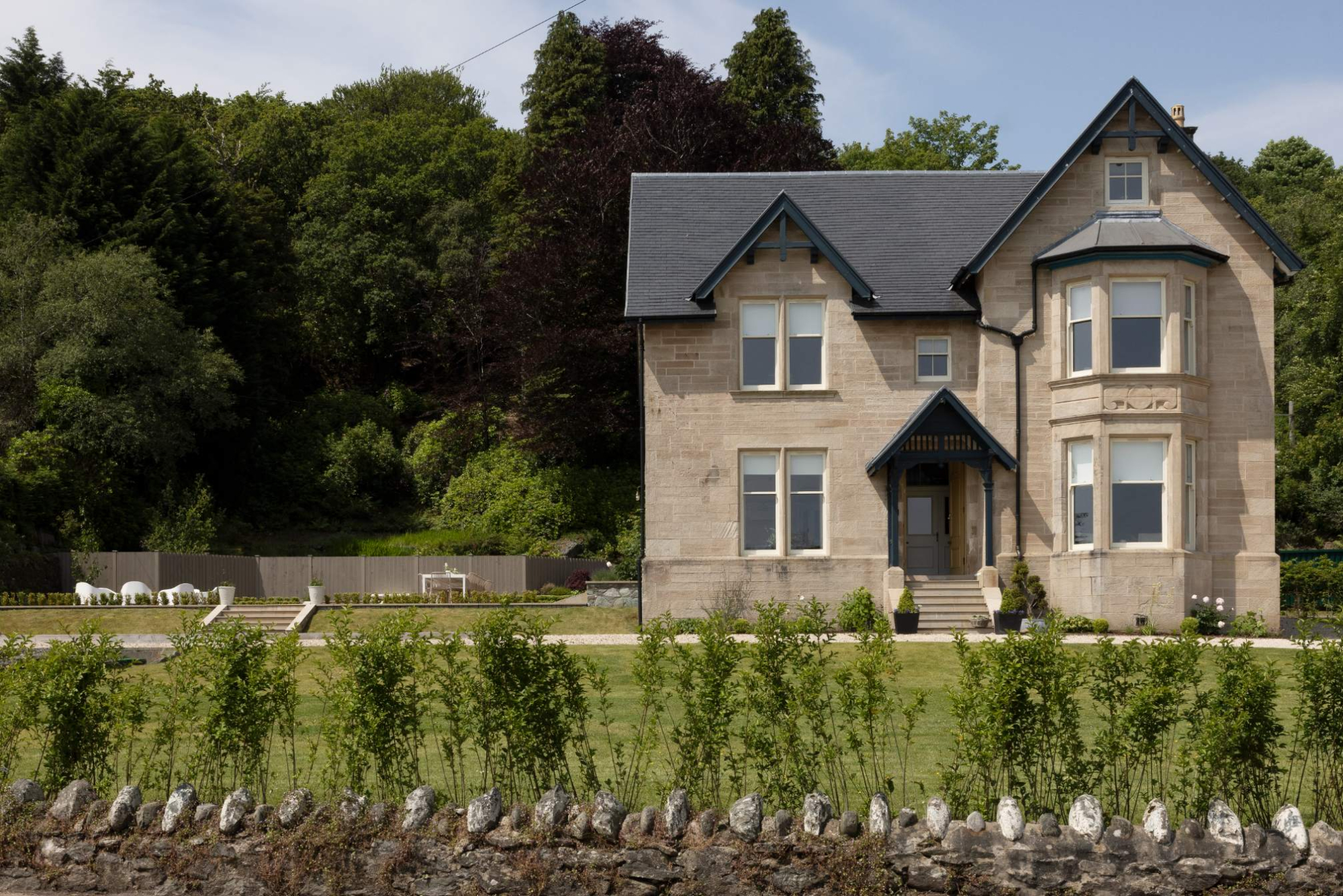
If you are staying over: here are ours nearest where the day starts and ends.
None of ours is close by: the nearest is The Hollies, 28 miles away. Sleeps 18.
Book the car onto CalMac's Ardrossan to Brodick ferry before you travel, out and back, and be at the pier 30 minutes before the boat.
For further reading, before you go.