
Perth's North Inch – A Level Mile and a Half by the Tay
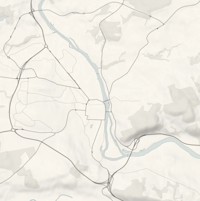
The North Inch is the big riverside park on the north side of Perth's centre, and a level, surfaced path runs right round it: a mile and a half, with the Tay alongside down one whole side.
At its south end is Smeaton's Bridge, nine arches of pink sandstone. A second loop over that bridge and back by Queen's Bridge adds three-quarters of a mile and the view of the city from the far bank.
- Time
- 35 to 45 minutes for the path round the North Inch, about a mile and a half. About an hour and a quarter with the loop over Smeaton's Bridge and Queen's Bridge, about two and a quarter miles in all.
- The path
- The path round the North Inch is level and surfaced, and the council lists it as an accessible route. The second loop is on pavements over the two bridges and a riverside path between them.
- Where to start
- Bell's Sports Centre car park, off Hay Street beside the North Inch: £1.20 for up to two hours or £1.30 for up to five, charged Monday to Friday 8am to 5pm and Saturday 8am to 4pm, free on Sundays. Pay at the machine.
- When to go
- All year in daylight. When the Tay is in flood, keep off the riverside path.
- Dogs
- Under close control: cyclists share the riverside path, and the Inch has a play area and sports pitches.
- Children
- A play area for ages 4 to 14 on the Inch, with a climbing wall.
- Toilets
- On Kinnoull Street: in the Sandeman, 11am to 11pm, and in the council's Pullar House, Monday to Friday 8.45am to 5pm.
- Before you set out
- Cyclists share the riverside path. When the Tay is in flood, keep off the riverside path.
The walk
Park at Bell's Sports Centre, off Hay Street on the west side of the North Inch, beside Balhousie Castle. It's a council pay-and-display: £1.20 for up to two hours, charged from 8am to 5pm on weekdays and until 4pm on Saturdays, and free on Sundays. It isn't on the RingGo app, so pay at the machine. The path round the edge of the Inch is level and surfaced the whole way. The council gives it as about a mile and a half, which is 35 to 45 minutes at an easy pace.
One long side runs beside the Tay, and cyclists share that stretch. The other runs past the play area and Balhousie Castle, the home of the Black Watch museum. The south end has the formal planting and the statues, the Albert Memorial among them, and Smeaton's Bridge with its nine arches of pink sandstone. A second loop joins the first there: over Smeaton's Bridge, along the Norie-Miller Walk on the far bank and back by Queen's Bridge and Tay Street. The council gives that loop as about three-quarters of a mile, so the two together are about two and a quarter miles and an hour and a quarter.
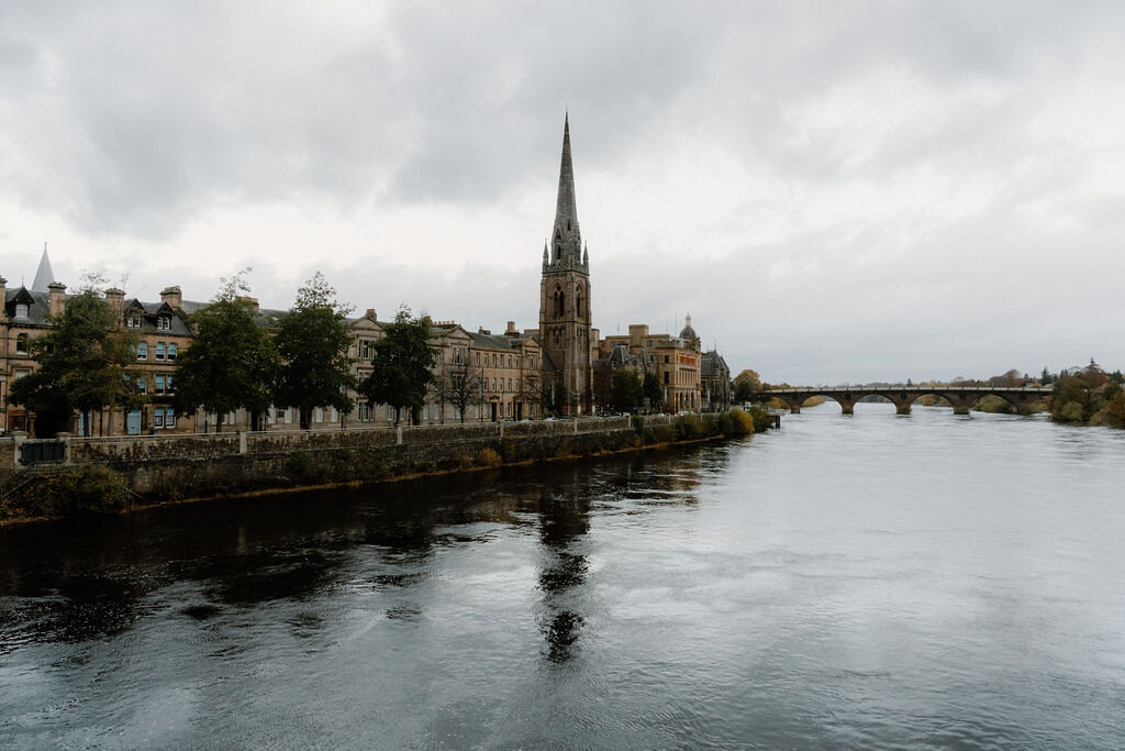
From the far bank the view is back across the water to the spire of St Matthew's and the stone terraces of Tay Street. The nearest public toilets are on Kinnoull Street, in the Sandeman from 11am to 11pm and in the council's Pullar House on weekdays. When the Tay is in flood, keep off the riverside path.
If it rains
The paths are surfaced and level, so this is a walk that still works in light rain. In a downpour, do the bridges loop alone and get under cover in the city centre, a few minutes from Tay Street.
Before you go
Book accommodation nearby
If you are staying over: here are ours nearest where the day starts and ends.
The nearest of ours is Murrayshall, 3 miles away.

For further reading, before you go.